
North Cascades | Entiat Mountains
Okanogan-Wenatchee National Forest
Location: 47.8641944,-120.4736107
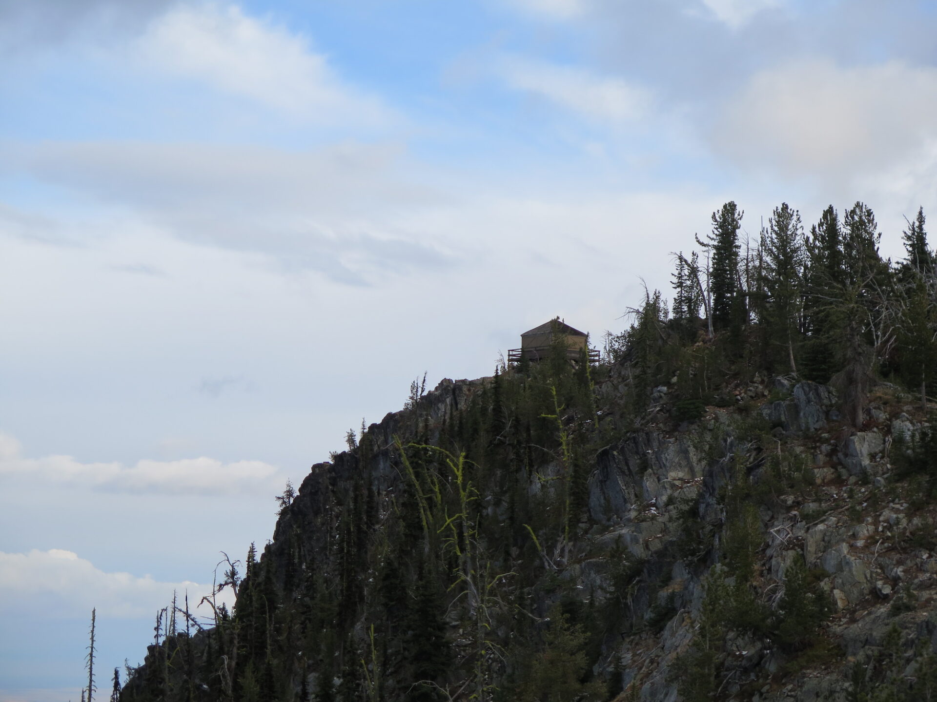
Summit Elevation: 6,654′
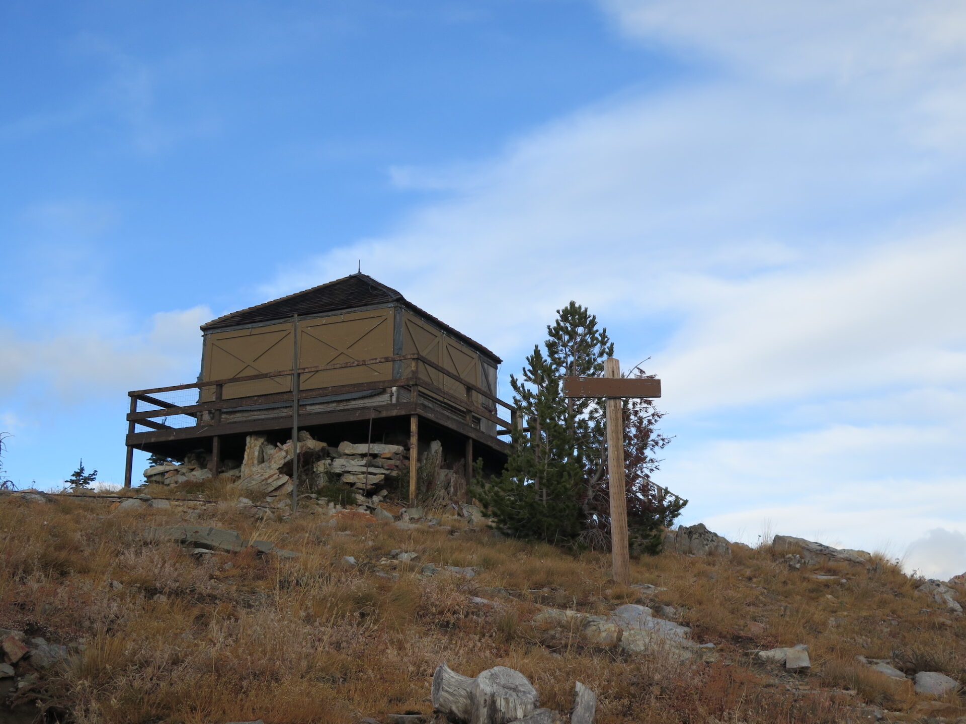
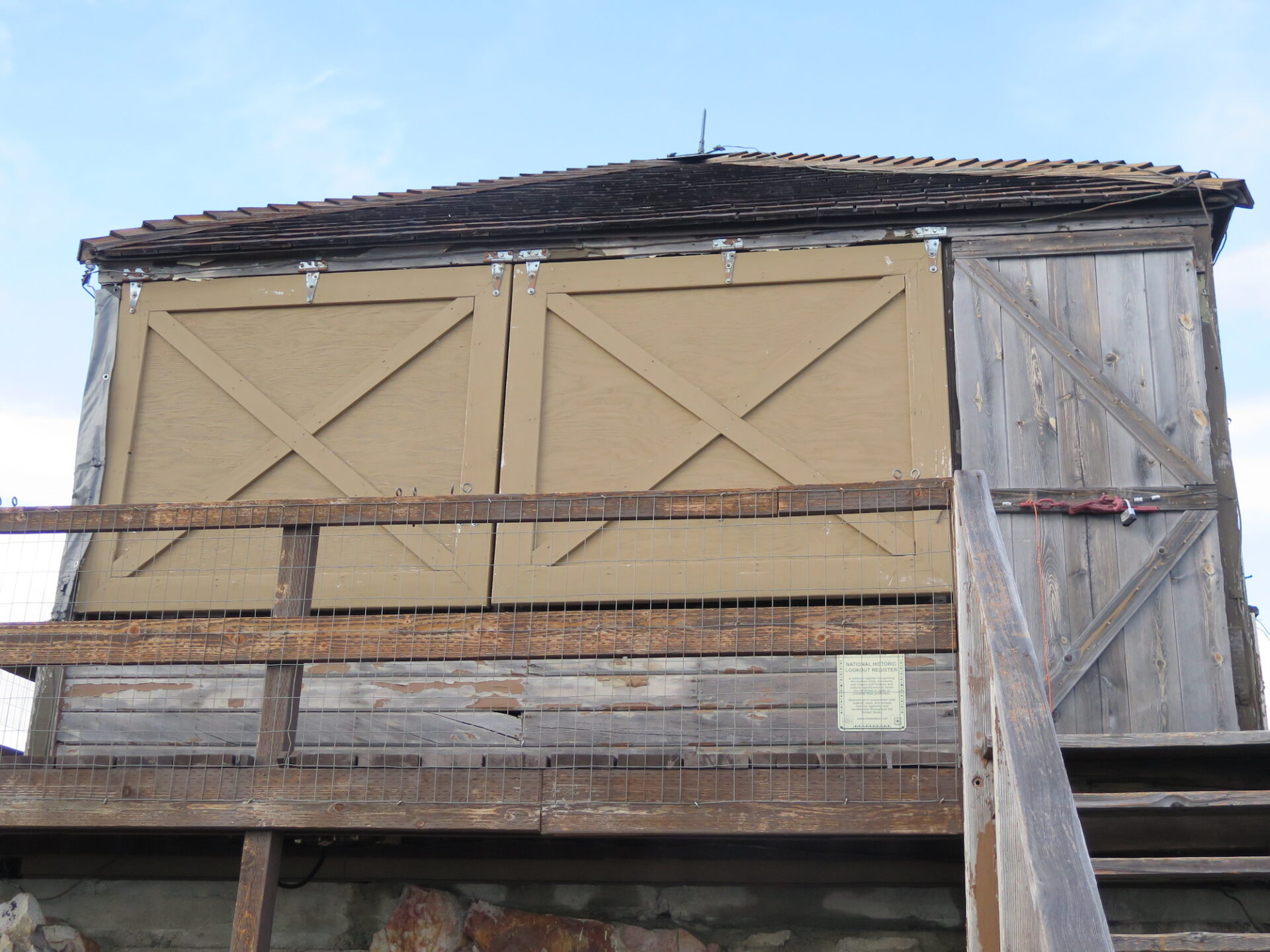
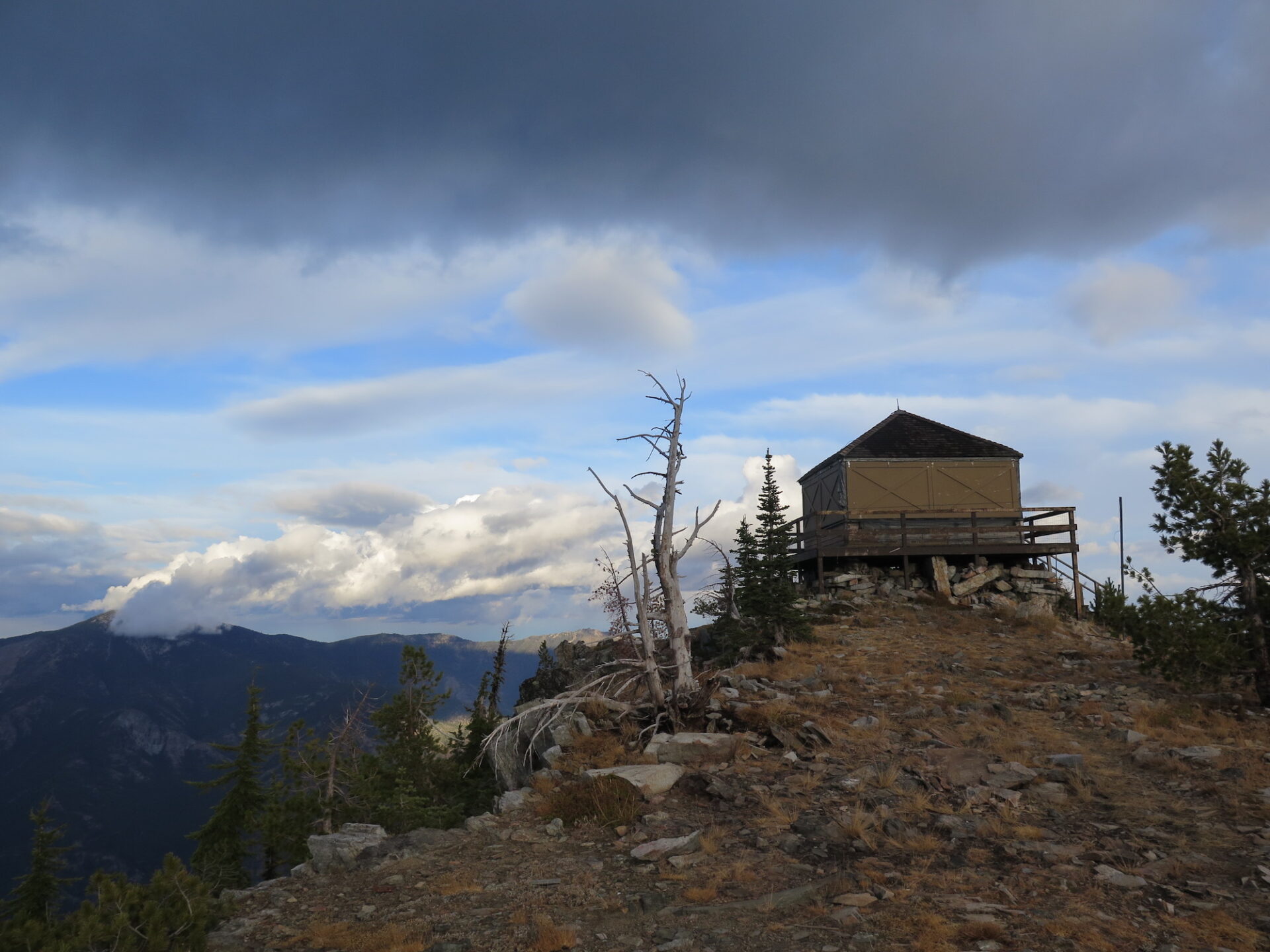
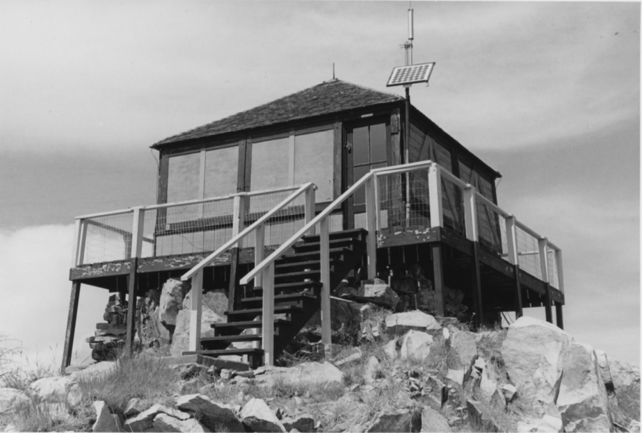
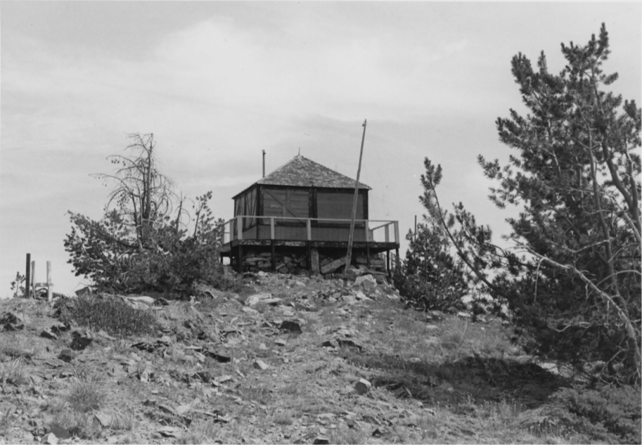
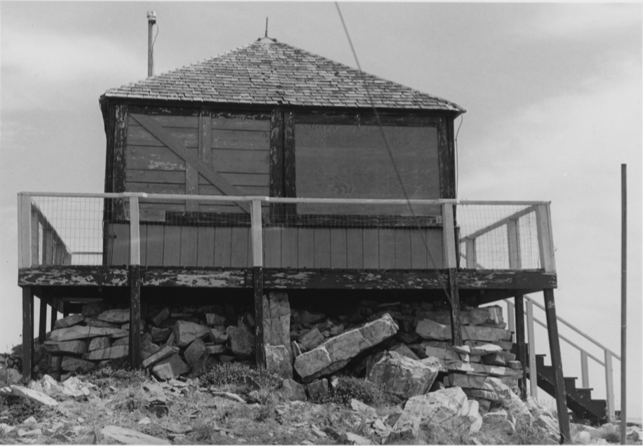
Lookout Type: 14’x14′ L-4 ground house
Site Established: 1932
Current Structure Built: 1952
Date Visited: 9/21/17
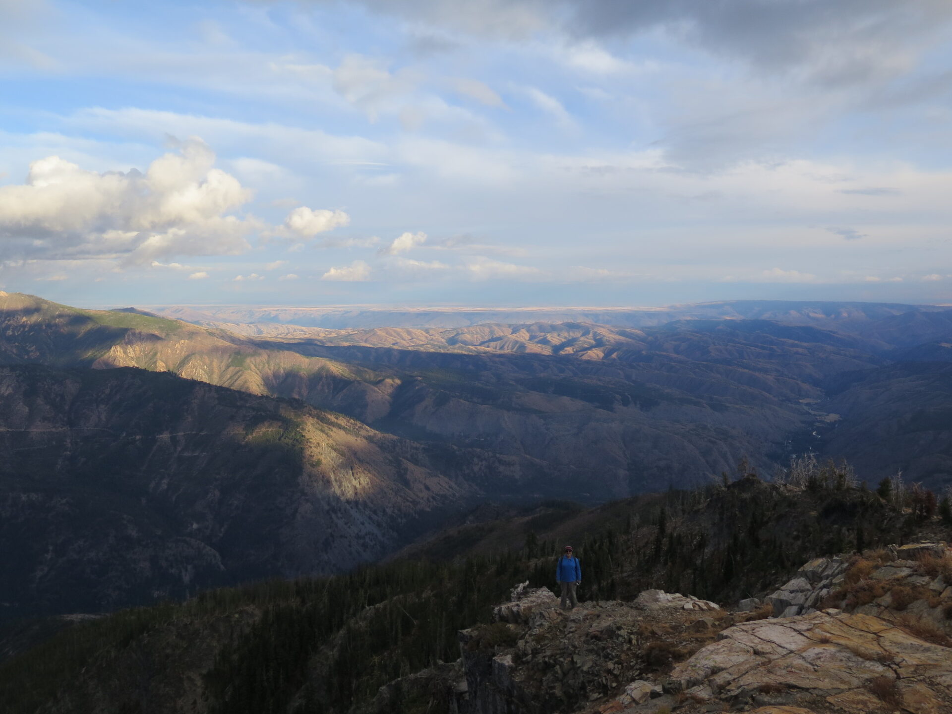
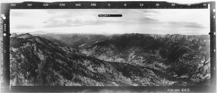
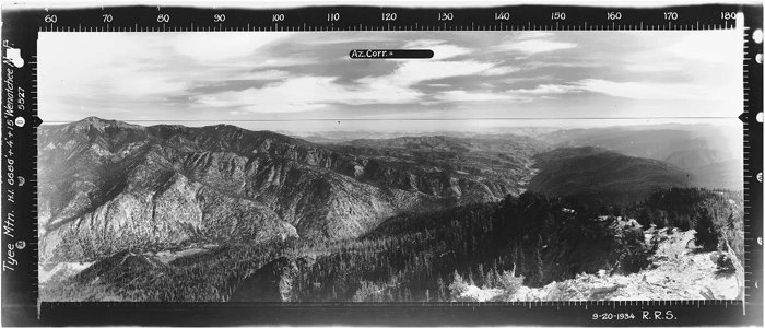
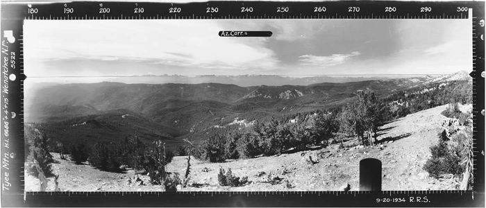
Tyee is one of my favorites! The lookout sits right on the crest between eastern and western Washington, which offers a unique view of Washington’s diversity. To the west are big mountains and to the east is dry, desert climate. The contrast is pretty amazing.
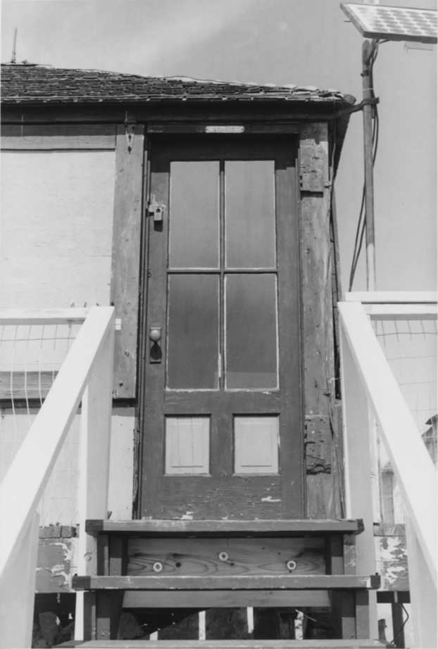
Tyee has been beautifully renovated and is now available for rental.
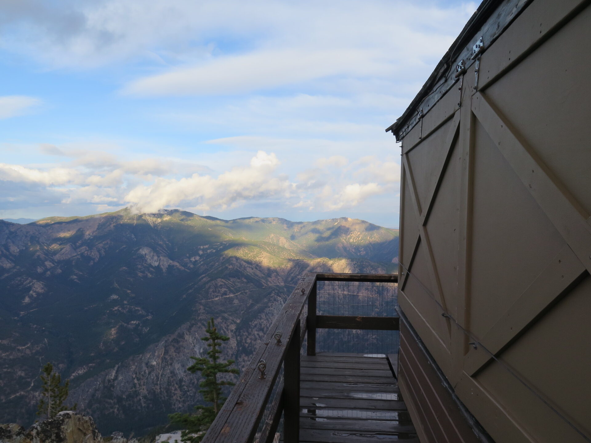
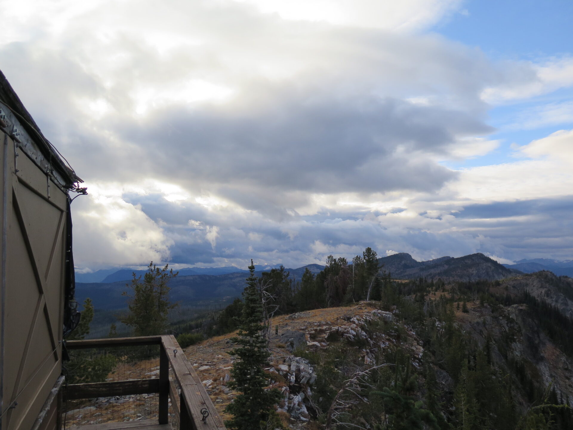
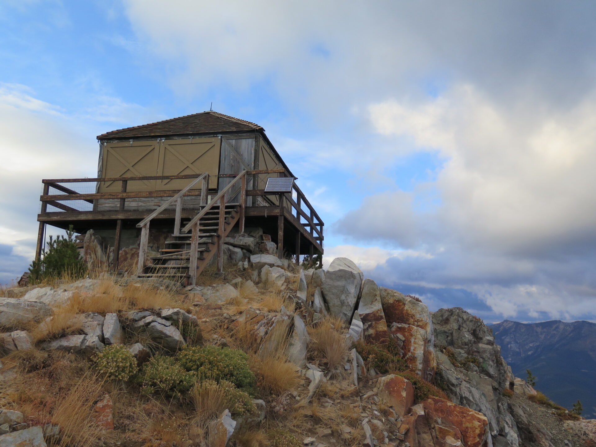
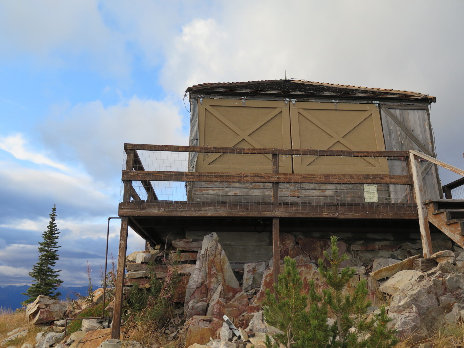
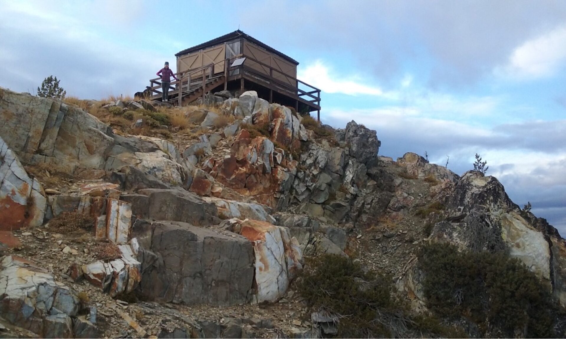
Photos from a 2017 visit.
History.
By 1922, a well developed road and trail system extended into the Wenatchee National Forest and included a horse trail to Tyee Mountain. Fire Atlas records indicate that Tyee was first used for fire surveillance and detection as early as 1932. It appeared to be a primary lookout point equipped with firefinding instruments. Early forest records for Tyee were destroyed, but in 1934 records noted it to have an existing permanent structure, most likely an L-4 cab.
Haven Stanaway, a former Wenatchee National Forest Fire Control Officer reported in 1938 that lumber for the catwalk was packed into the lookout and the road was completed shortly after, the last two miles by a private logging company.
The lookout was replaced sometime in the 1950s with a hip-roof L-4 groundhouse and continued to be used through the 1960s. During 1994, lightning storms ignited multiple fires near Tyee Creek on the south slopes of Tyee Mountain. The fire burned for 33 days, growing to 135,000 acres and becoming one of the largest fires of the 1900s. Thanks to firefighting crews and a little luck, the lookout survived, though the outhouse did not.
Tyee has been threatened by numerous fires since, the latest the Cougar Creek Fire in 2018. Check out my page on neighboring Sugarloaf Lookout to read more about the fire history of this area.
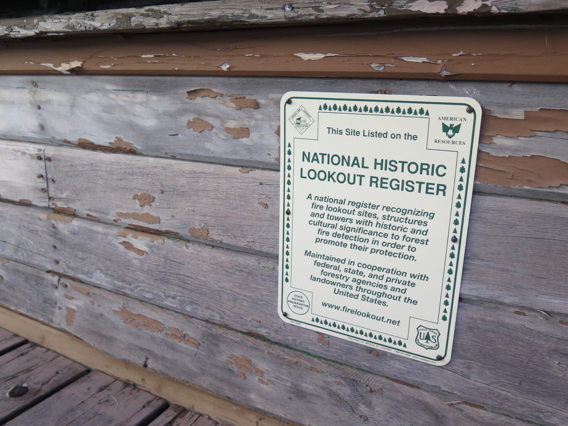
US Forest Service employees and volunteers spent two years beautifully restoring Tyee and it is now amongst only a handful of Washington State fire lookouts available as a rental. If you fancy a stay, know that the road to the summit is very rough and requires a high clearance 4×4. Have fun!

The route.
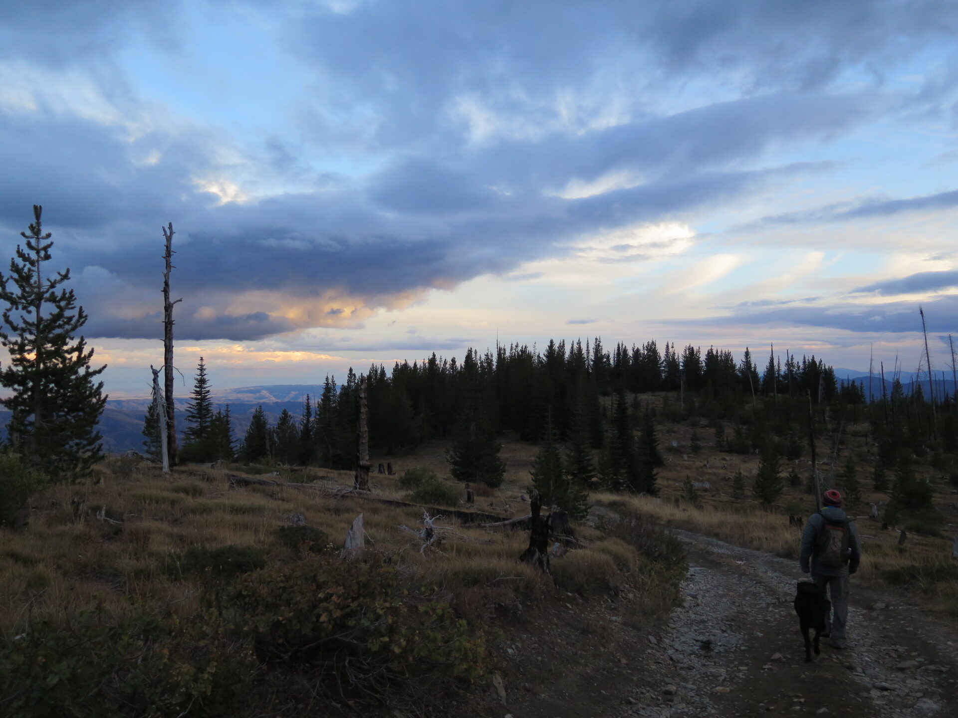
Driving to the summit is possible with a high clearance 4×4, though the last 2-3 miles are very rough and rocky. When I visited with my dad and stepmom, we opted to park lower down and walk up the road 3.75 miles to the summit.
The summit of Tyee is broad and offers incredible views of the surrounding area. There are also numerous trails in the area, so consider bringing a map and doing some extra exploring.
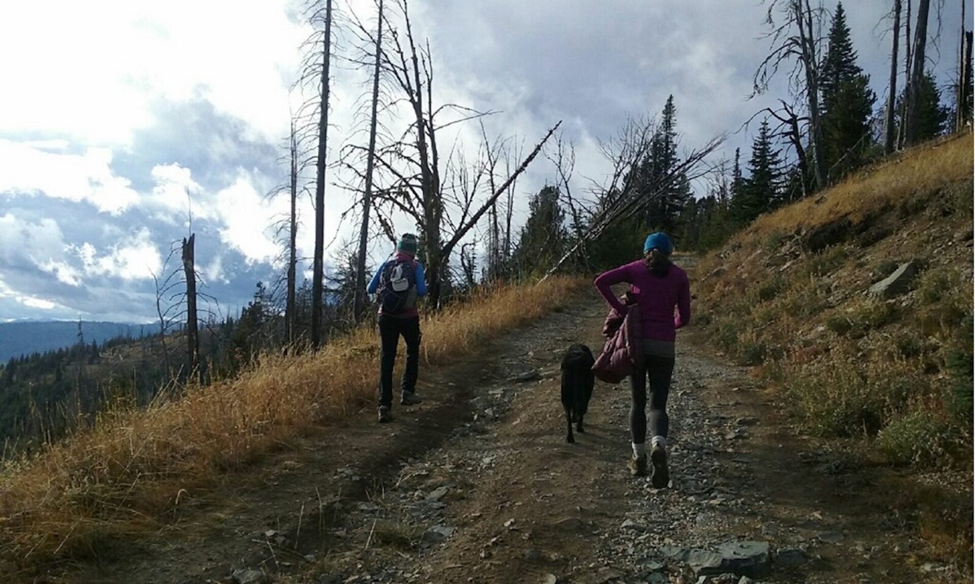
It is possible to drive to the summit if you have a vehicle capable of handling rocky terrain. I chose to hike up the road and enjoy the views. Here’s our track from a 7.5 mile round trip hike up the road with about 1,850′ of climbing.
Directions.
There are numerous ways to get to Tyee, so consult a map and make your own adventure. I drove to Tyee cross country after visiting Sugarloaf, but the main way in is from Entiat.
From Entiat, take a right on the Entiat River Road, drive 9.8 miles, and then take a left on the Mad River Road. In 2 miles this becomes Forest Road 5700. Follow for 4.6 miles, then stay left on 5700 at a junction. In a half mile, 5700 continues to the right. In 7.1 miles, take a right on Forest Road 5713 and continue 4 miles to the summit of Tyee. This last stretch on 5713 can be rocky and rough, so have a high-clearance 4×4 or consider parking and walking. Most vehicles should be able to make it at least to 5713.