
Columbia Basin | Southwest Selkirks
Spokane Indian Reservation
Location: 47.989968, -118.14722
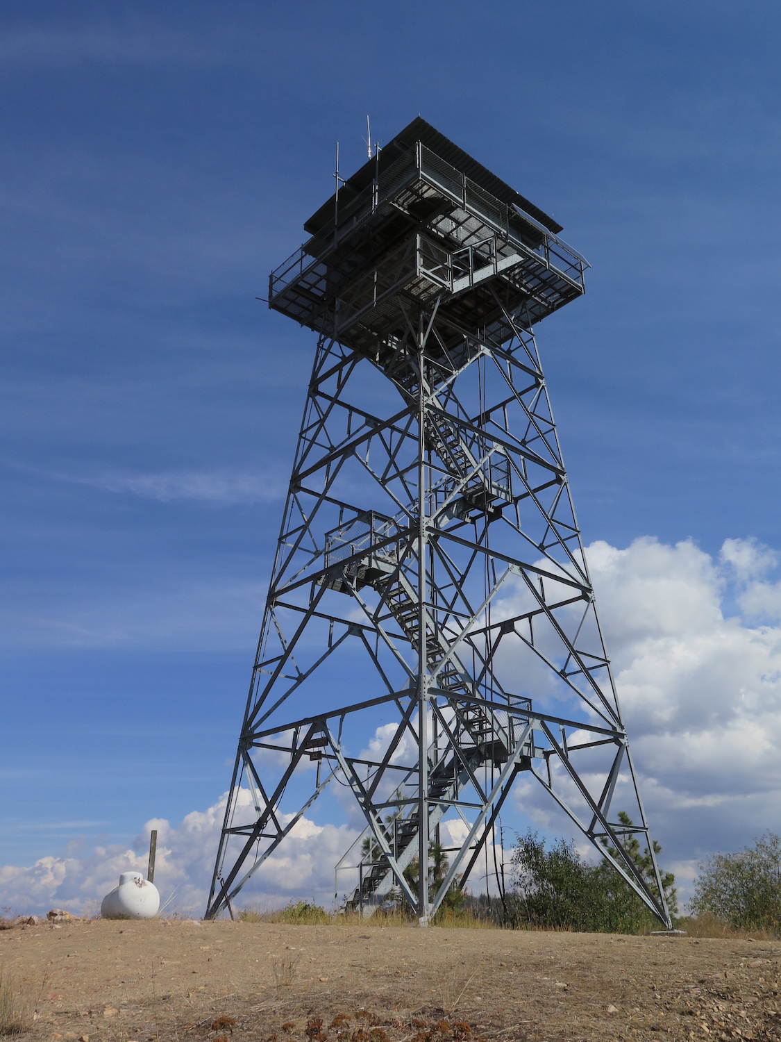
Summit Elevation: 4,000′
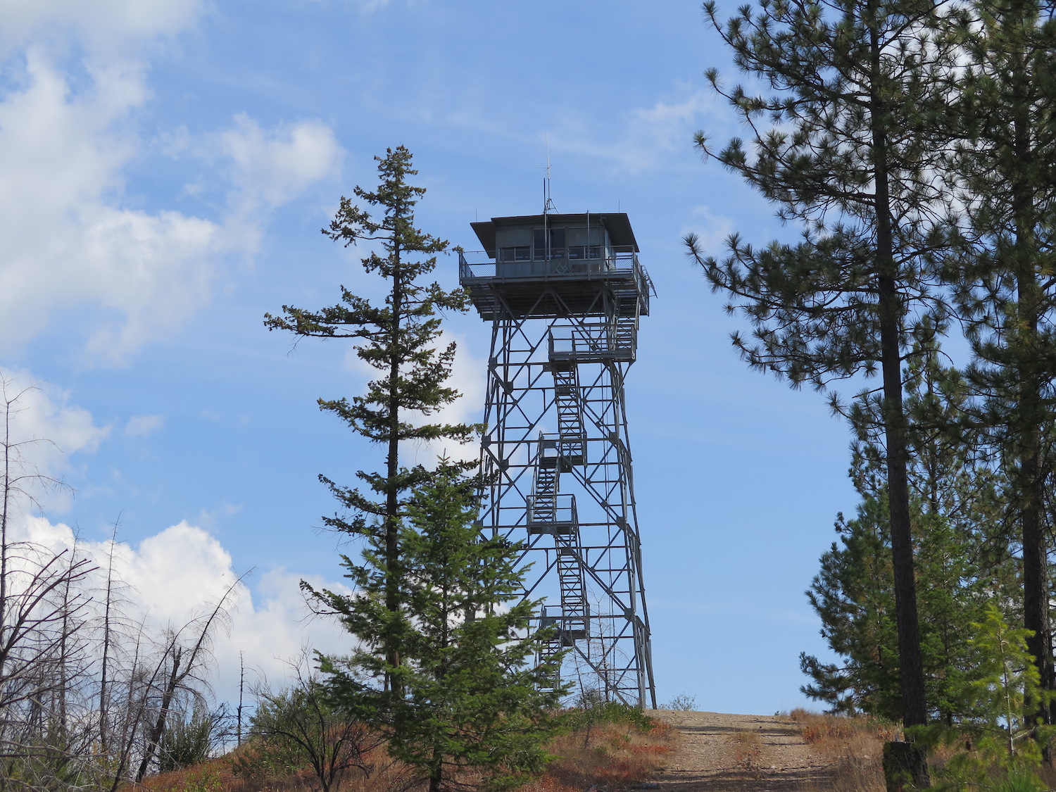
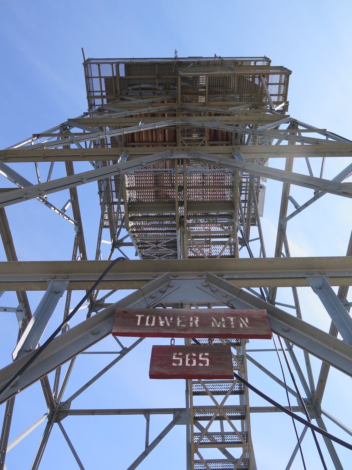
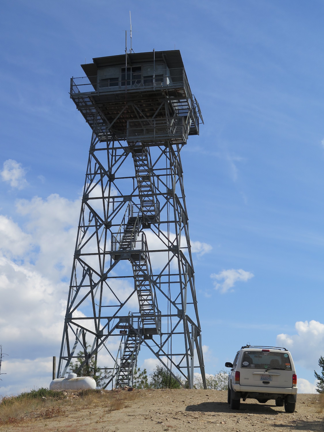
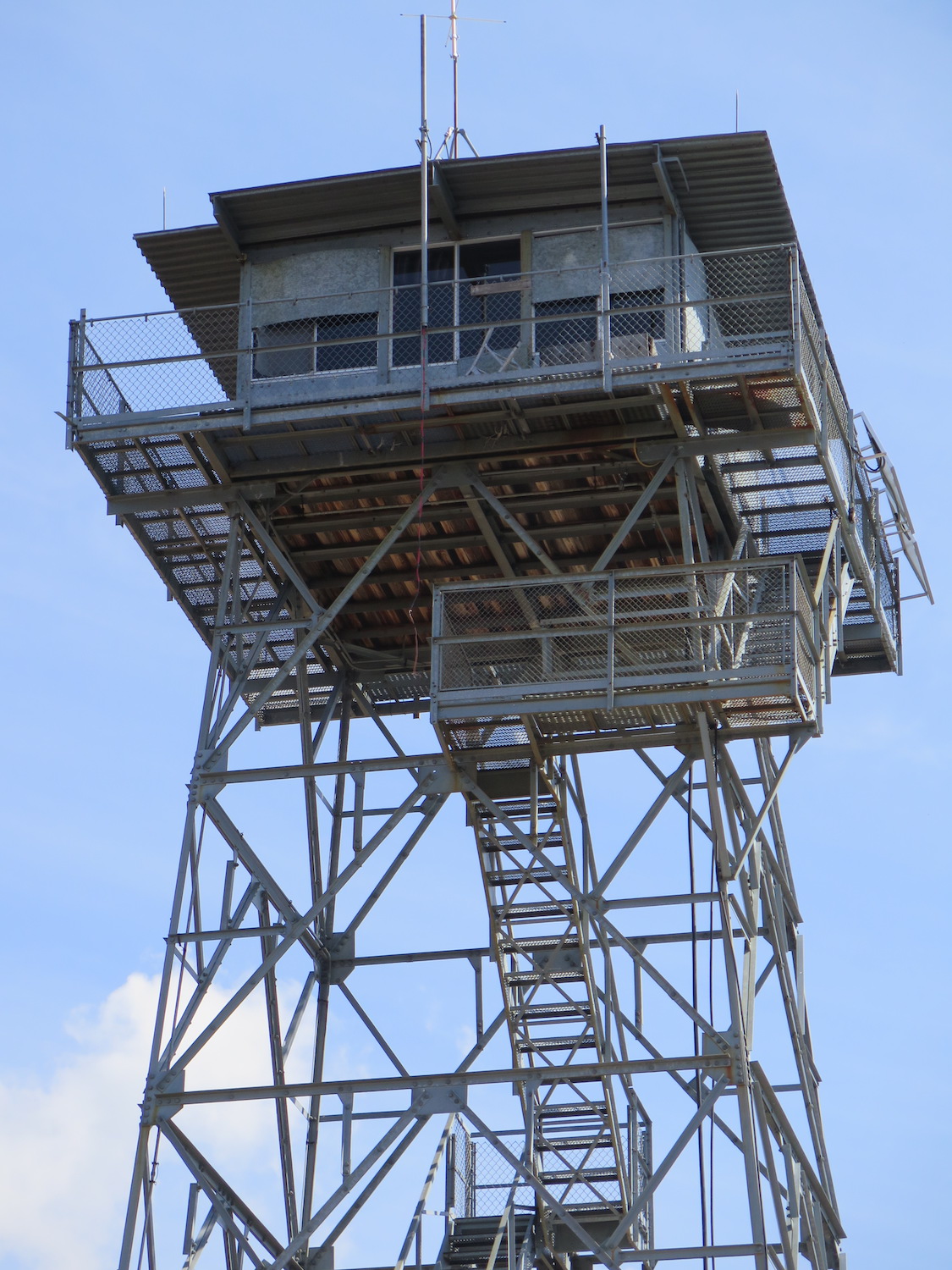
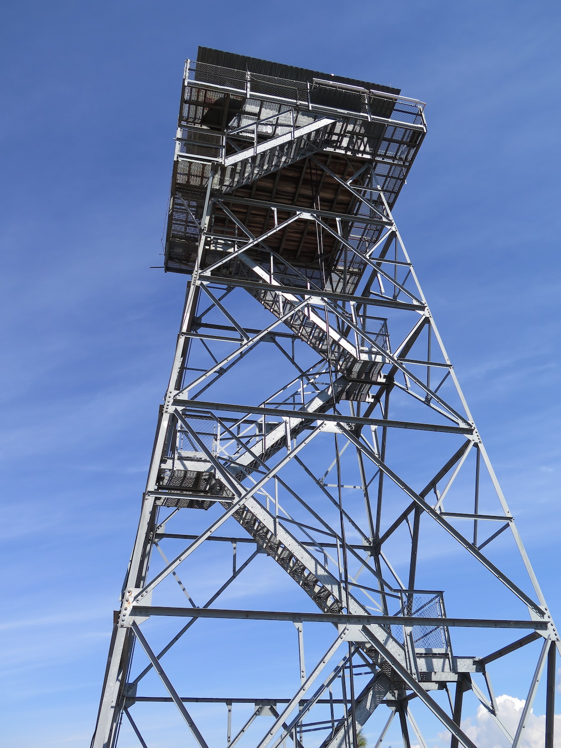
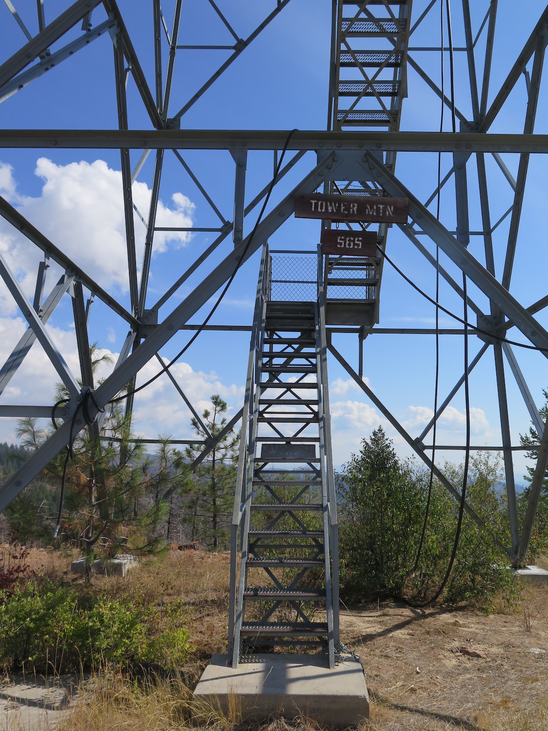
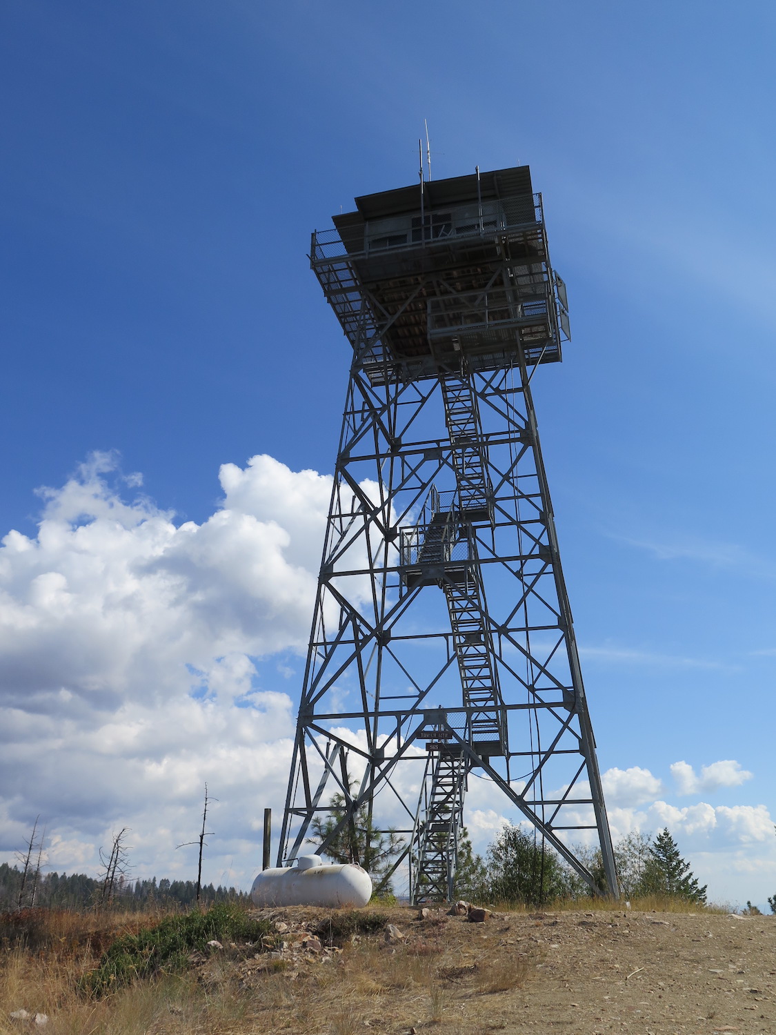
Lookout Type: 53′ steel tower with live-in cab
Site Established: 1975
Current Structure Built: 1975
Date Visited: 9/08/18
This 53′ steel tower on the Spokane Indian Reservation was built in 1975 and is one of the newer fire lookouts in Washington State. It is still staffed every fire season.

Photos from 2018.
History.
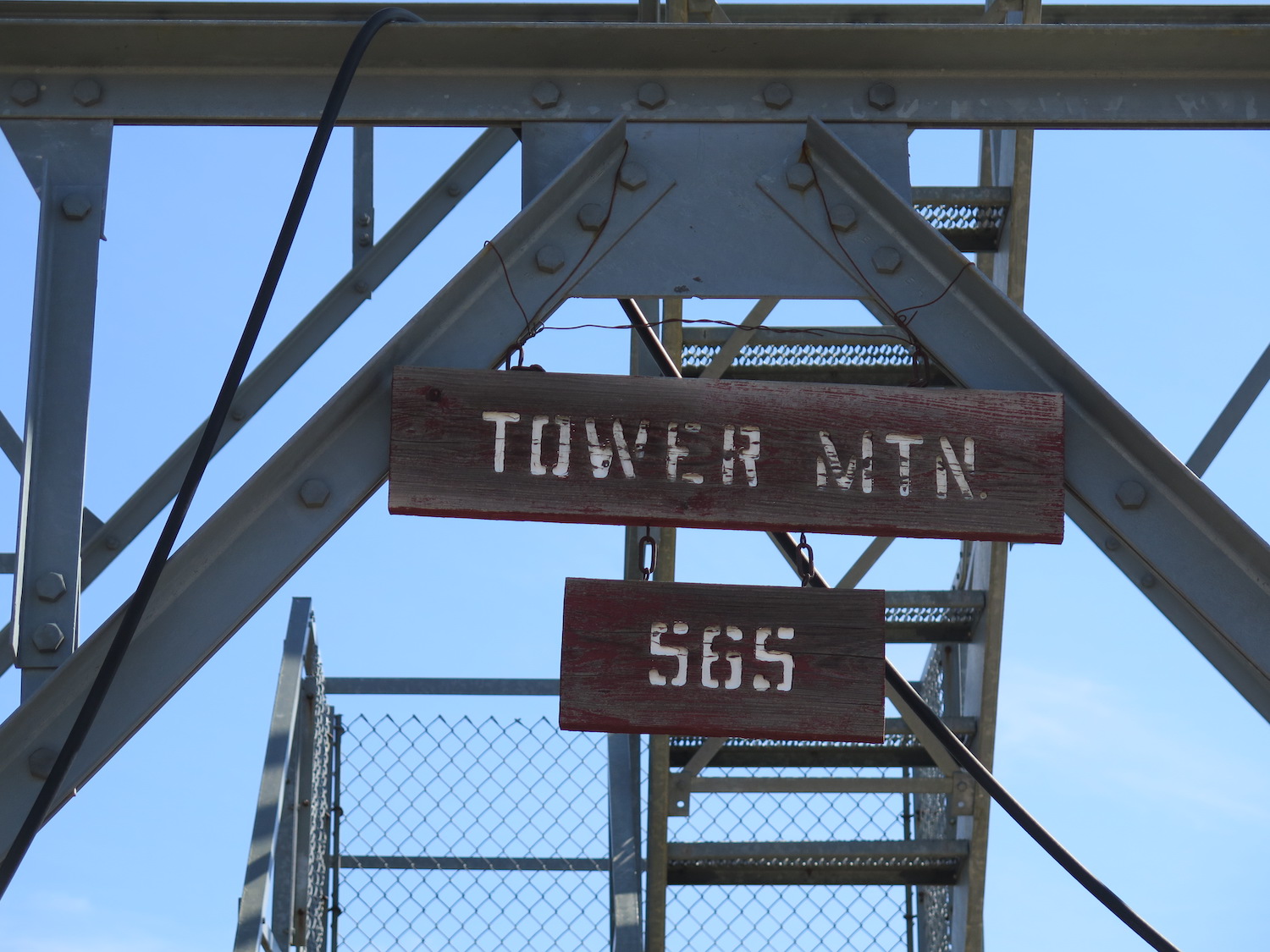
The 53′ steel tower on Tower Mountain was built in 1975 and has been the only lookout structure on the summit. It is still staffed every summer and listed on the National Historical Lookout Register. I haven’t found any additional information or historical photos on Tower so drop me a message if you have anything to share!
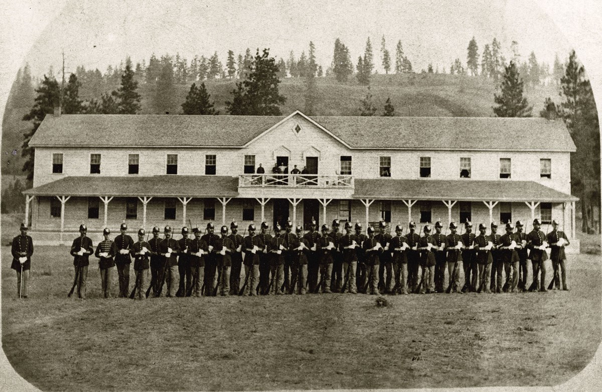
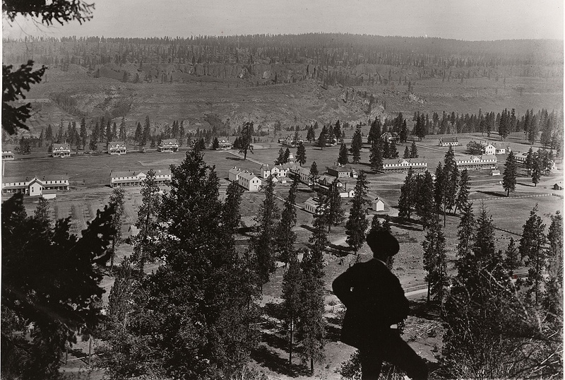
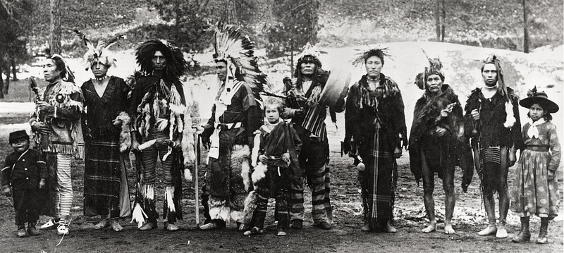
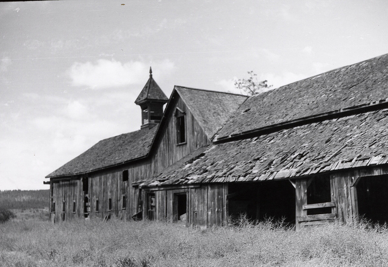
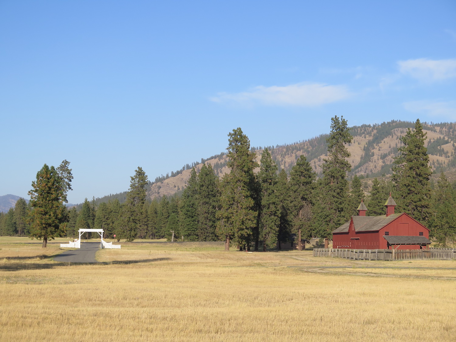
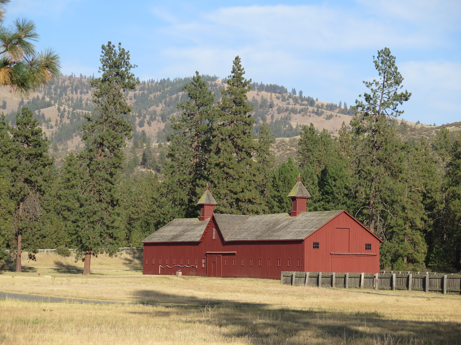
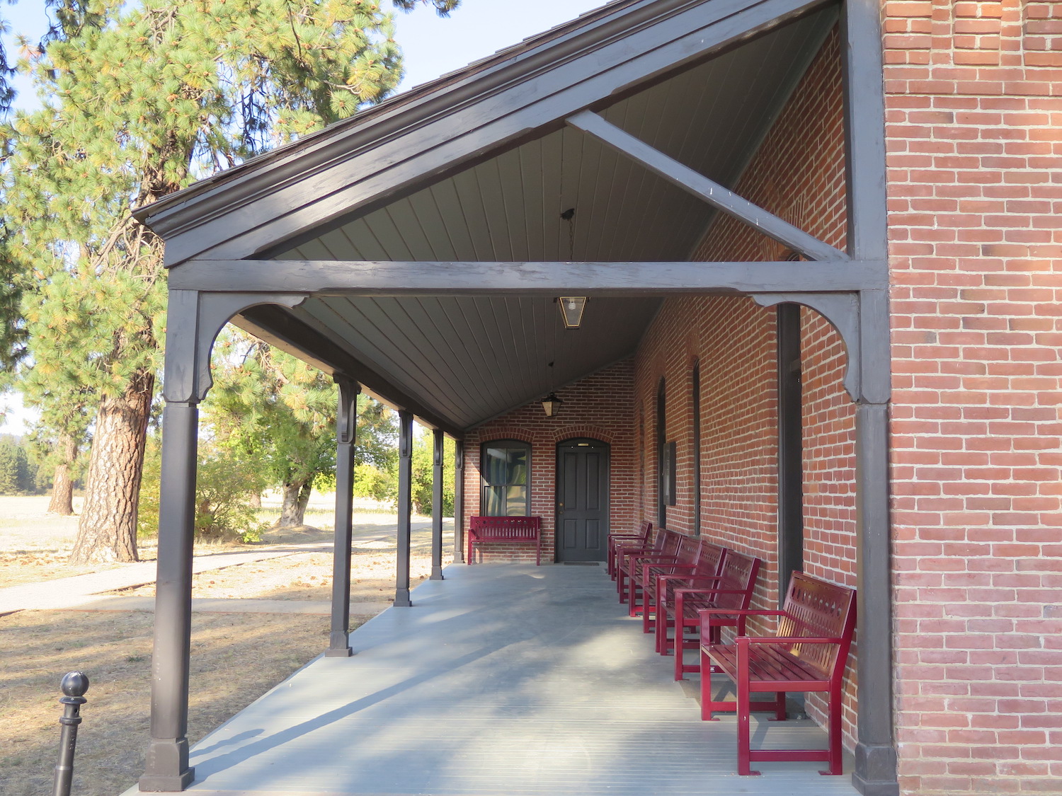
If you visit Tower, I would highly recommend a side trip to the historic Fort Spokane only 16 miles away. The Fort and surrounding area hold great historical significance as native tribes used the areas as a gathering place for thousands of years while fishing the Spokane River.
In 1880 the US Army established Camp Spokane near the Big Bend area where the Spokane and Columbia rivers met. In 1882 the Camp was renamed Fort Spokane and buildings were erected to house troops, supplies, and prisoners. The fort was decommissioned in 1898 when the United States entered the Spanish American War and troops were redeployed to Cuba.
The Colville Indian Agency took over ownership of the fort in 1899 to establish an Indian Boarding School, then in 1916 the fort was converted to a hospital which remained active until 1929. The National Park Service took over ownership of the fort in 1960 and its remaining four buildings out of the estimated original 45 that were on site. Today the area is part of the Lake Roosevelt National Recreation Area and offers a visitor center, campgrounds, day use area, and boat launch.

Directions.
The best route to Tower is off the paved West End Road, which is northeast of Fort Spokane off Highway 25. From the West End Road, turn onto the Sand Creek Road and travel approximately 6.5 miles to the lookout and summit. Mapping apps may try to take you other ways but Sand Creek Road is the best approach.