
North Cascades | Entiat Mountains
Okanogan-Wenatchee National Forest
Location: 47.7570025,-120.5294841
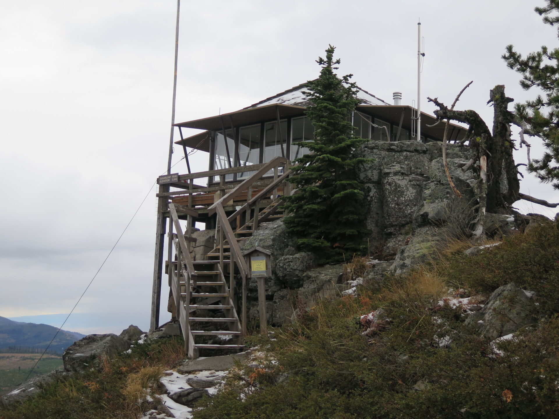
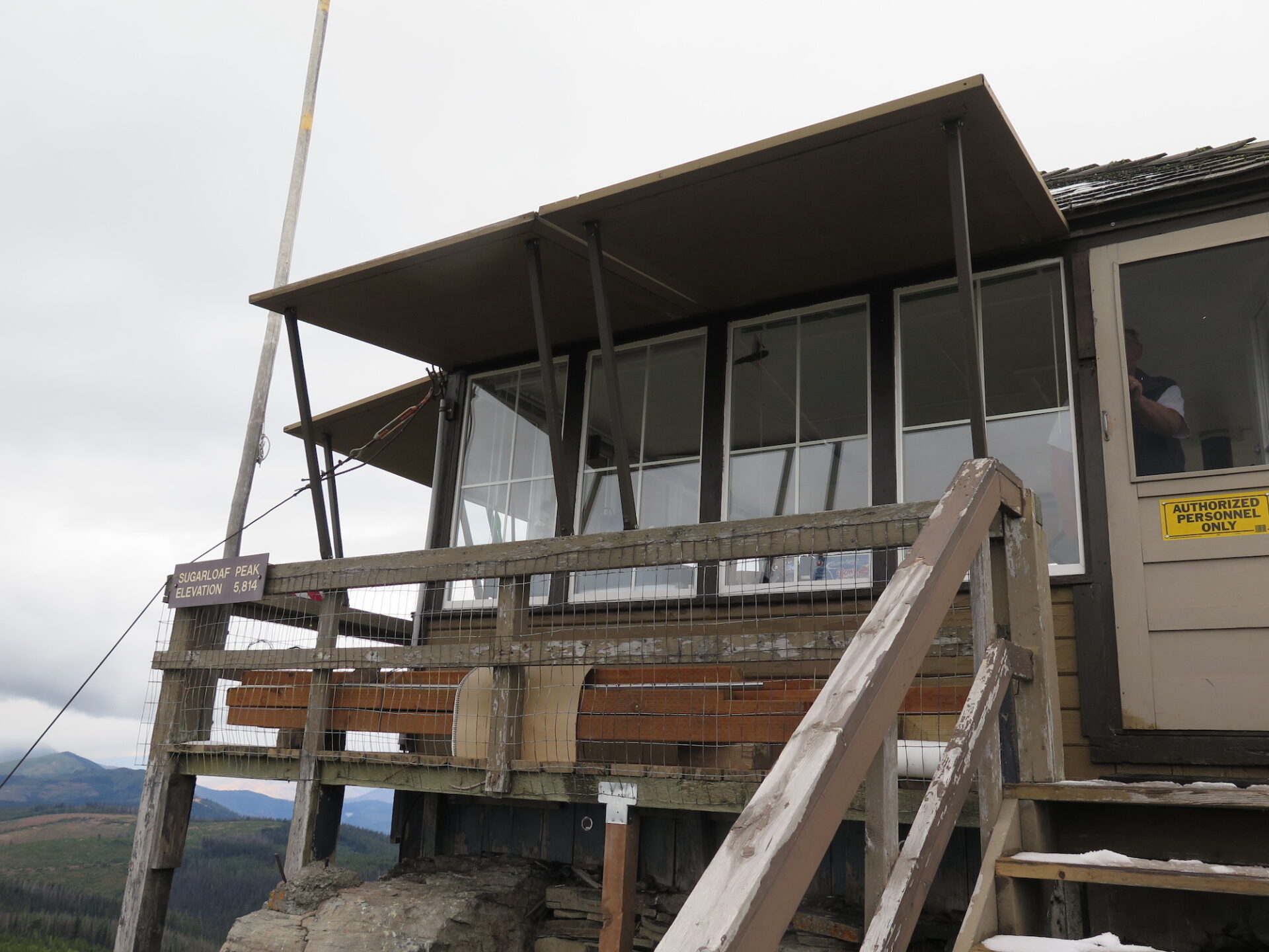
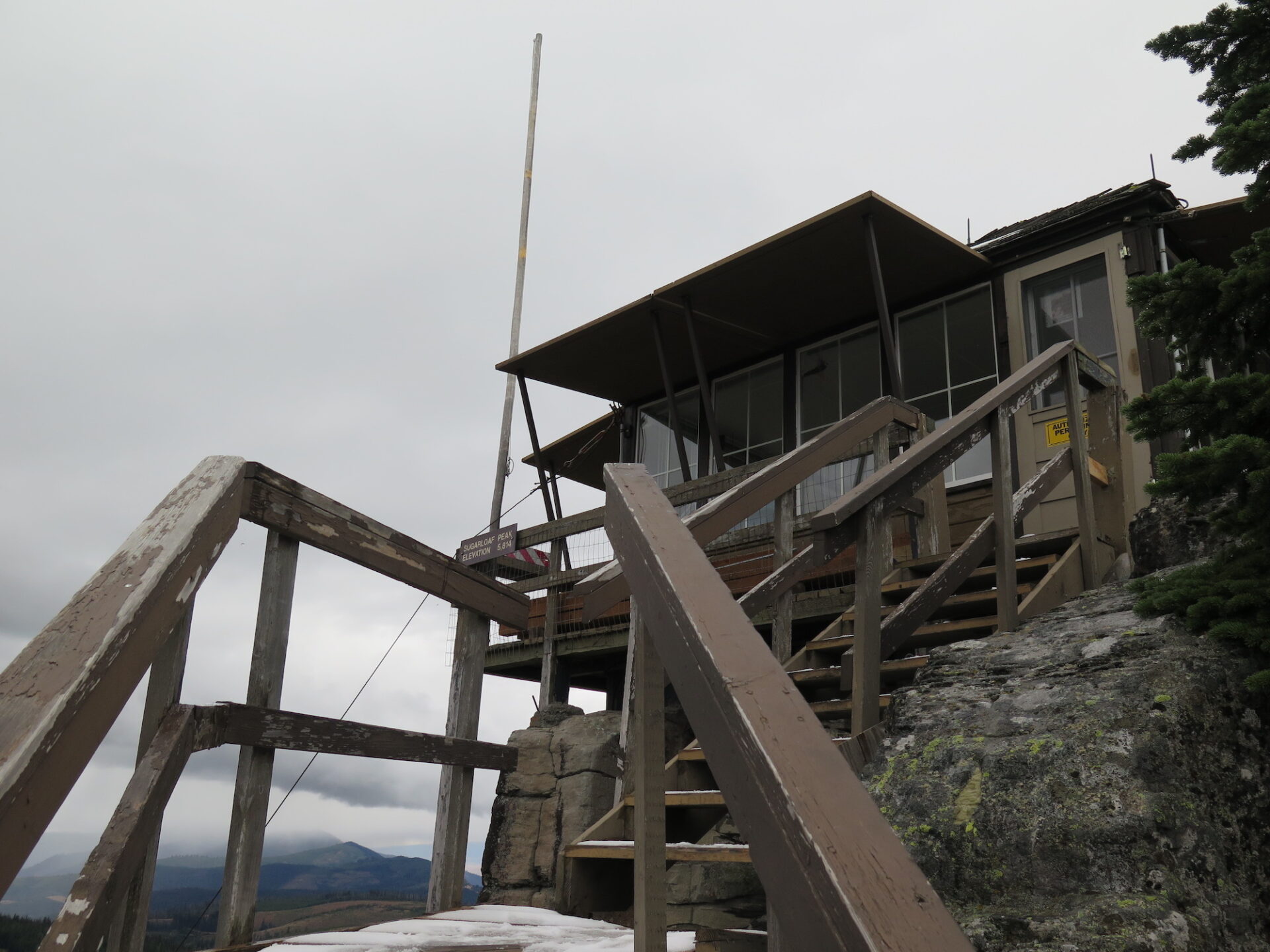
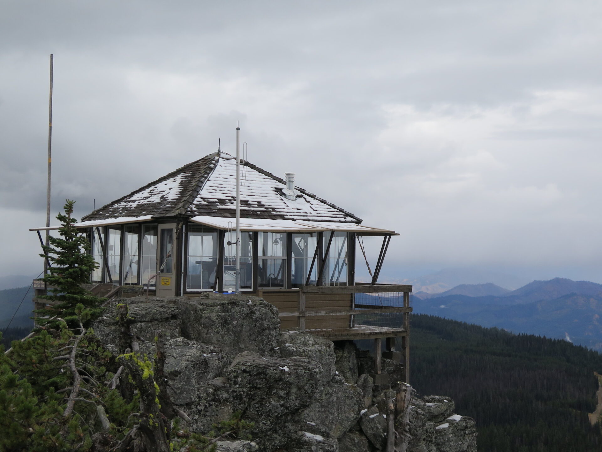
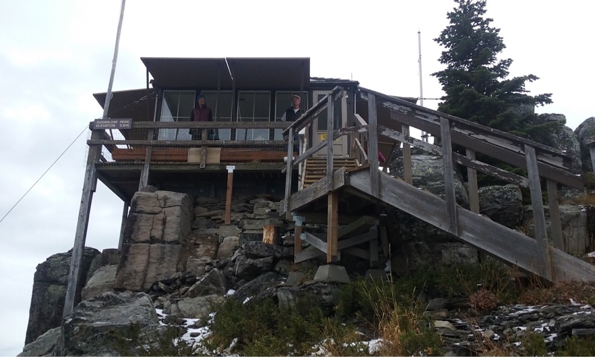
Summit Elevation: 5,814′
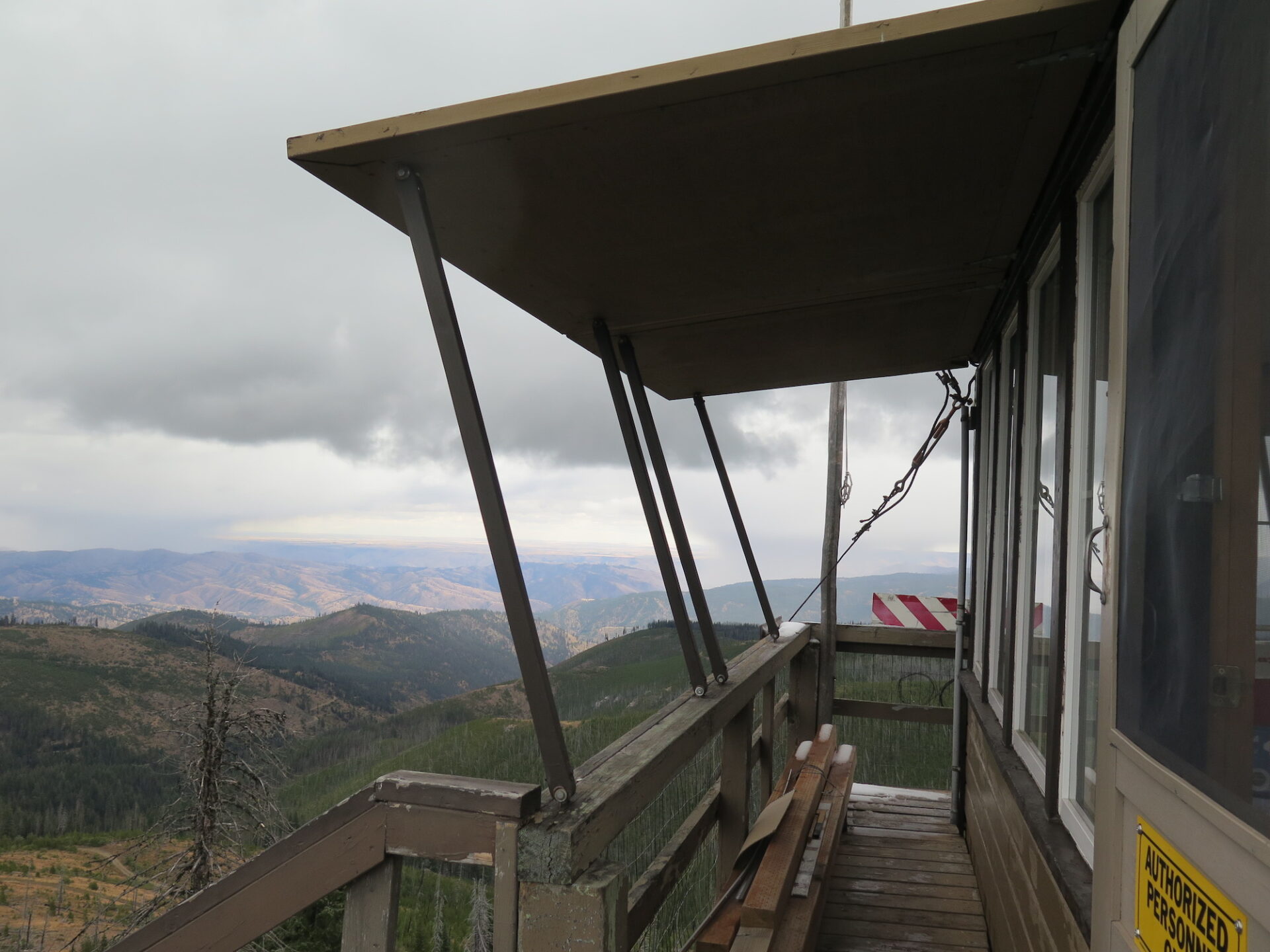
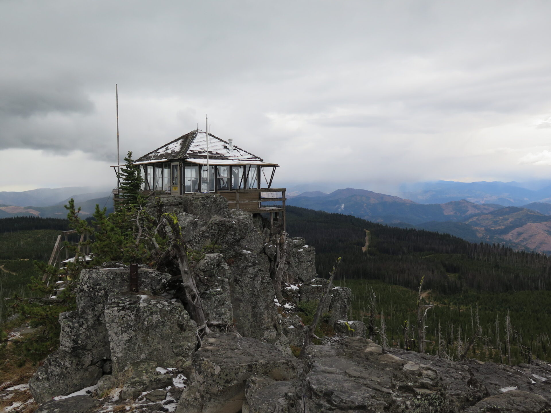
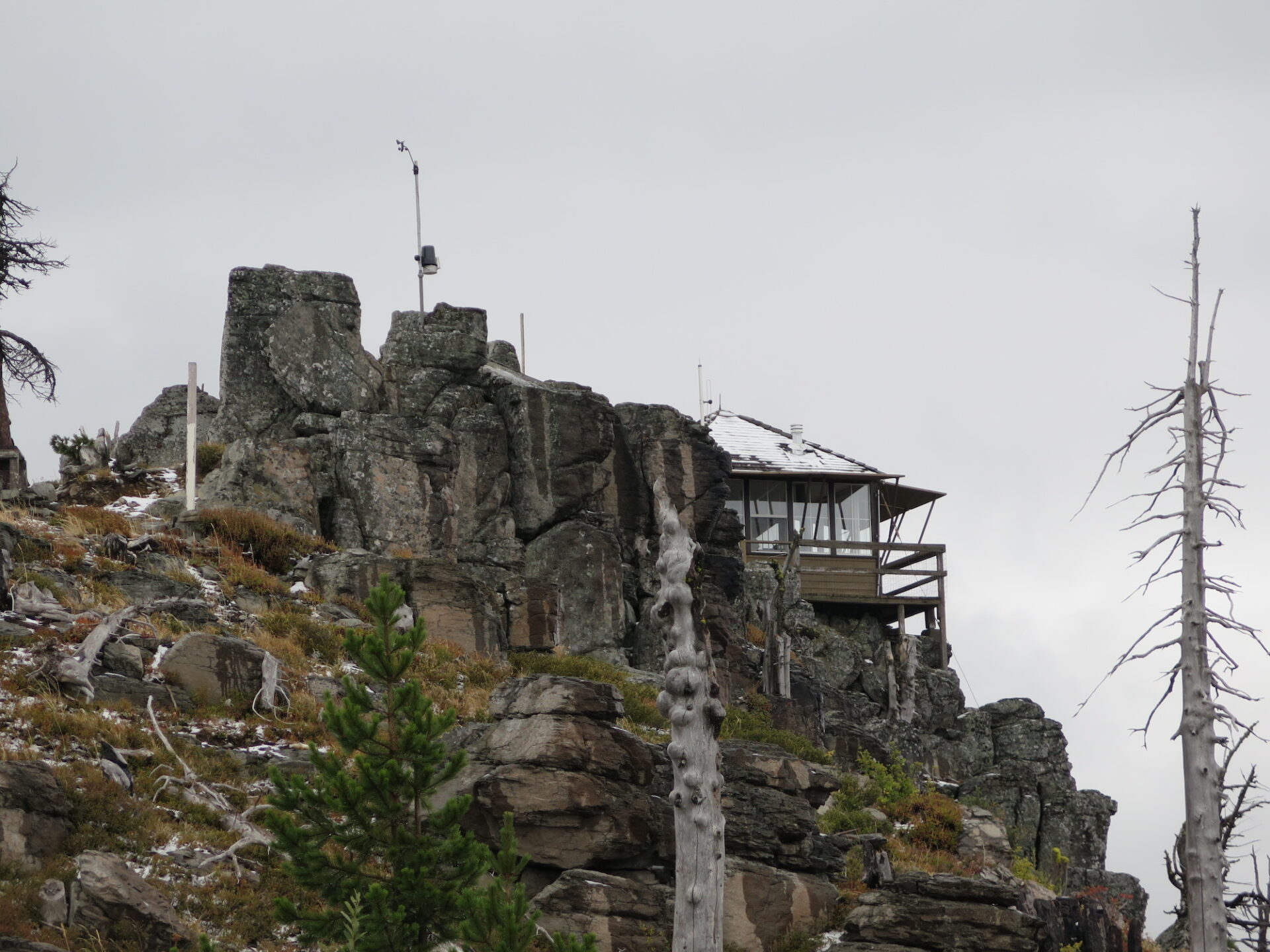
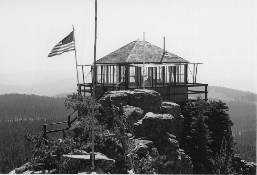
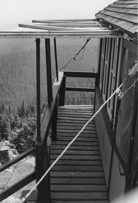
Lookout Type: 14’x14′ L-4 cab
Site Established: 1914
Current Structure Built: 1933
Date Visited: 9/21/17
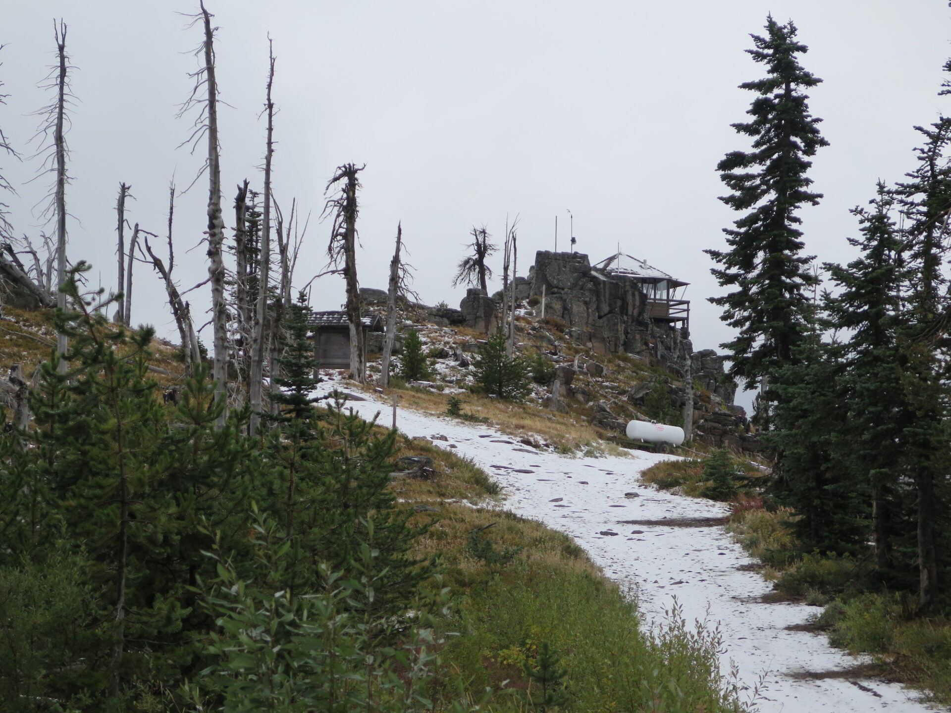
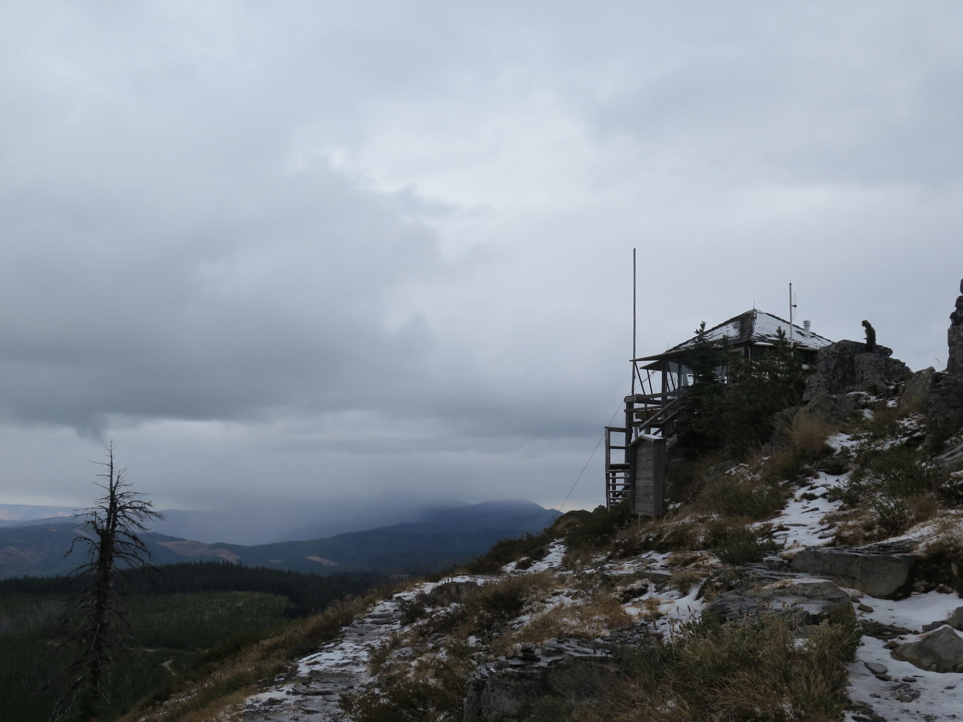
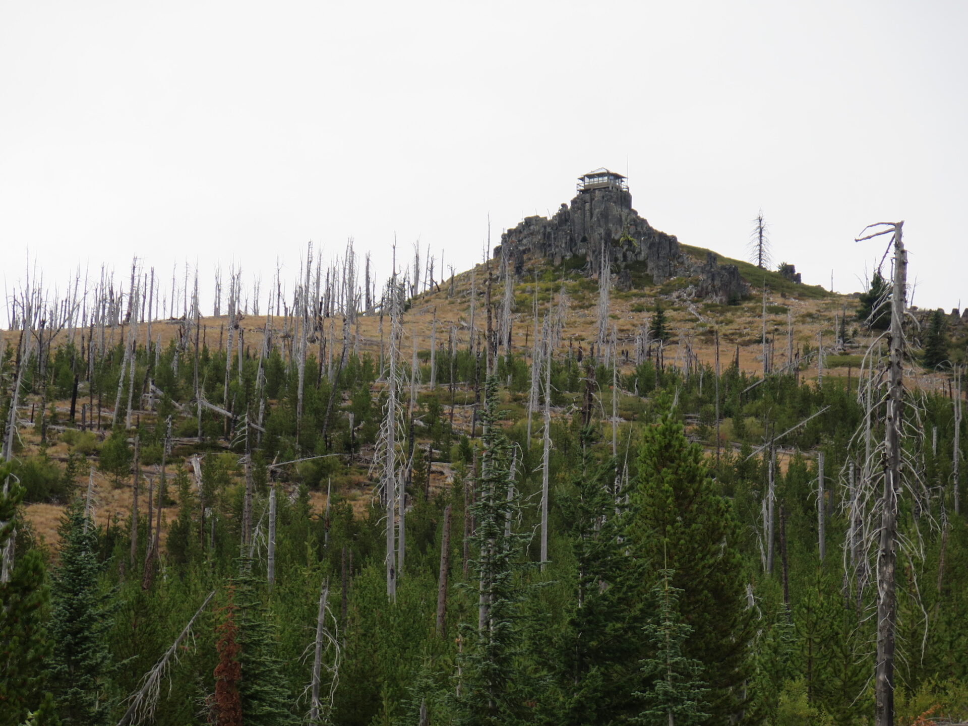
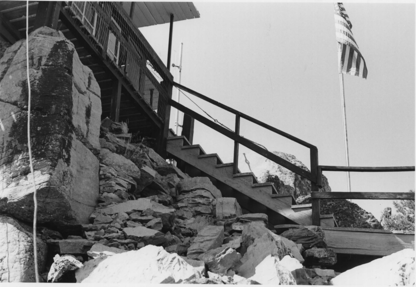
Sugarloaf Peak is one of the earliest established and longest continually used fire lookouts in Washington State. It’s dramatically perched on top of spectacular basalt columns and if you head up in summer, you can likely visit the lookout on staff to hear all kinds of stories!
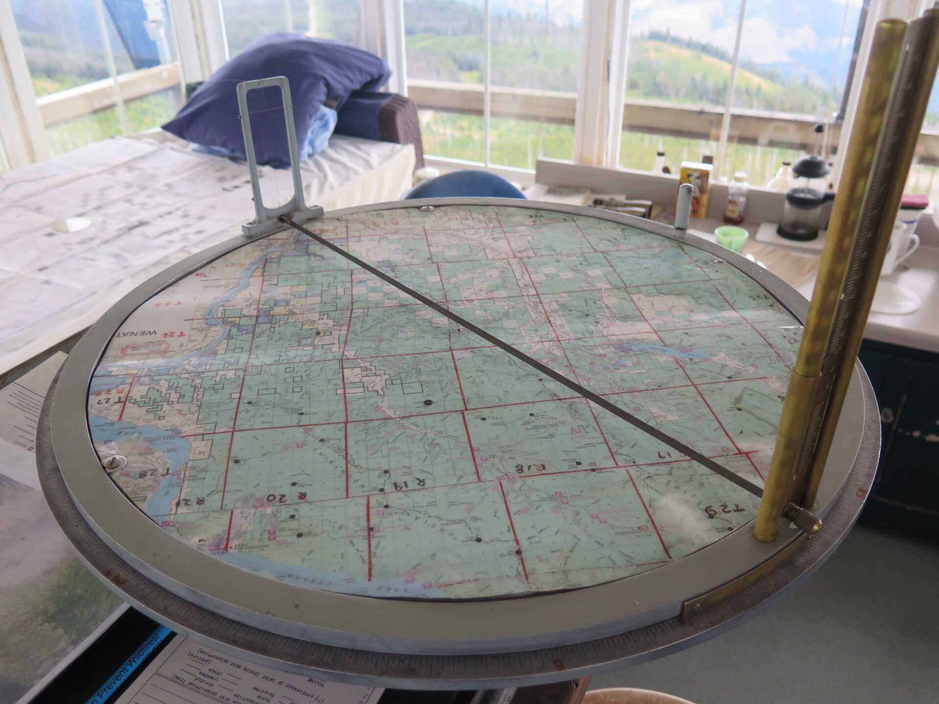
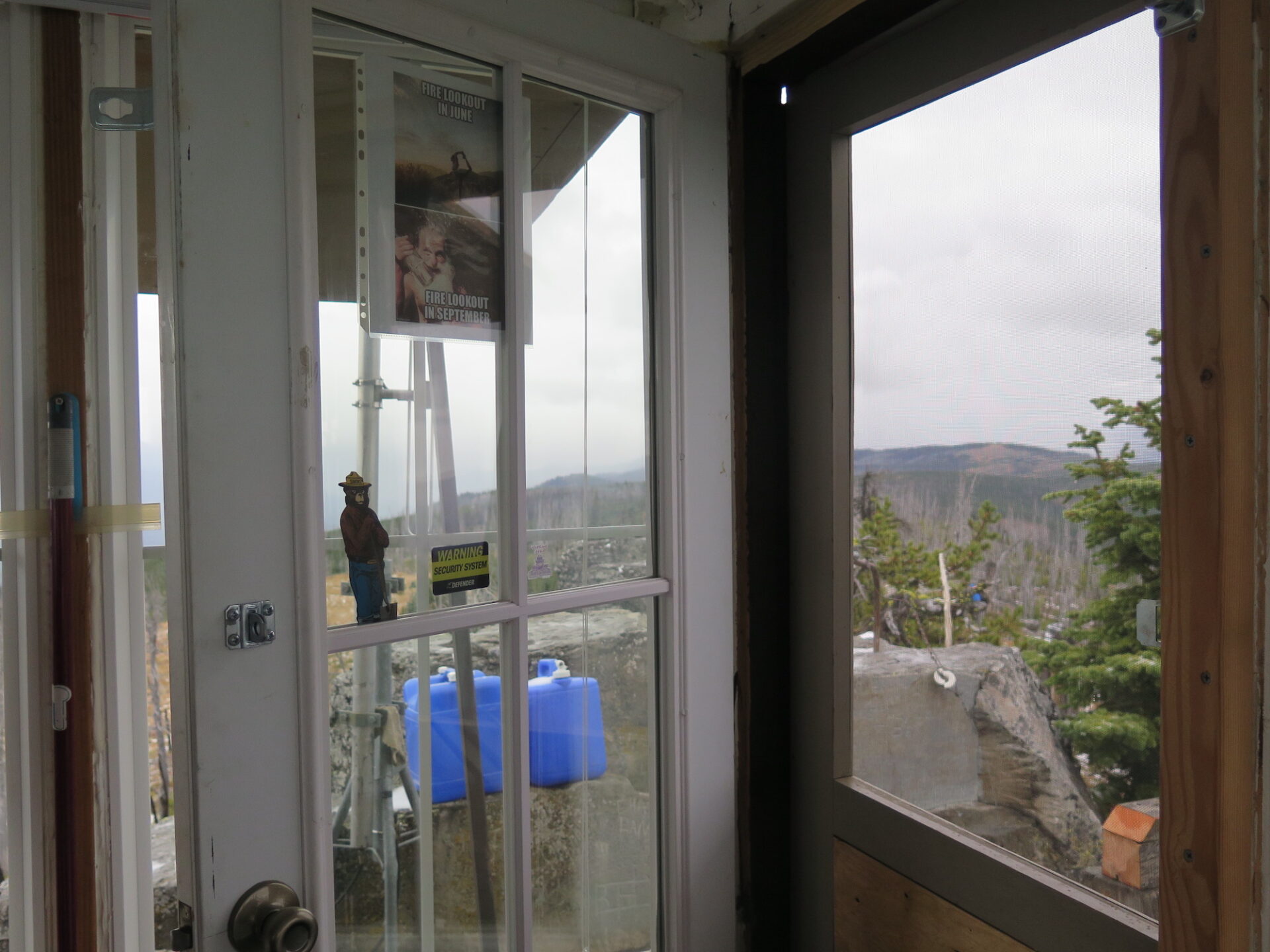
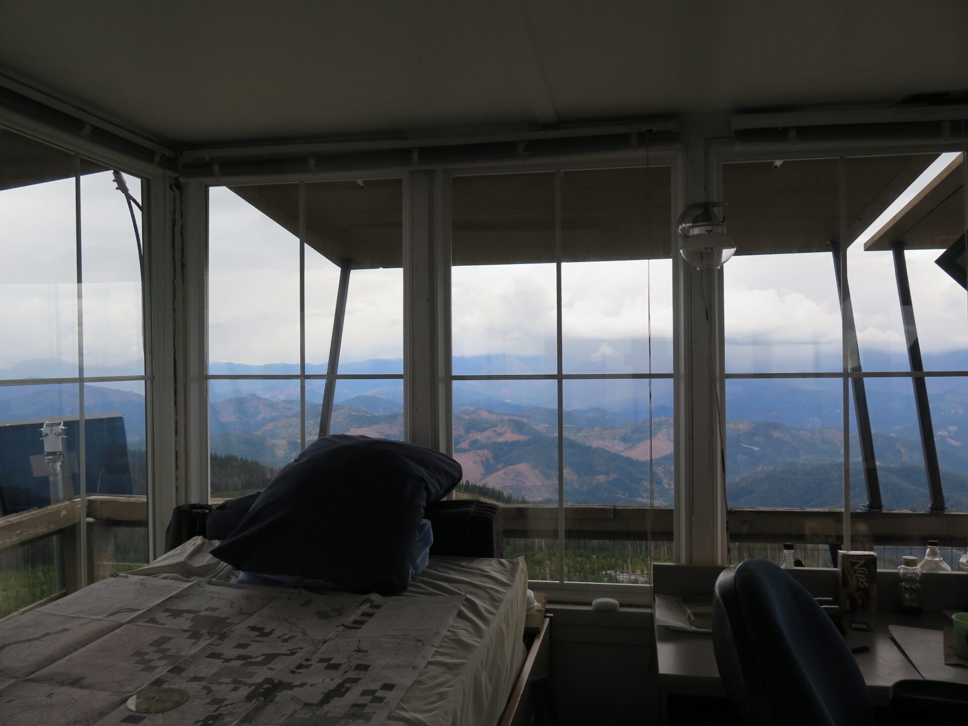
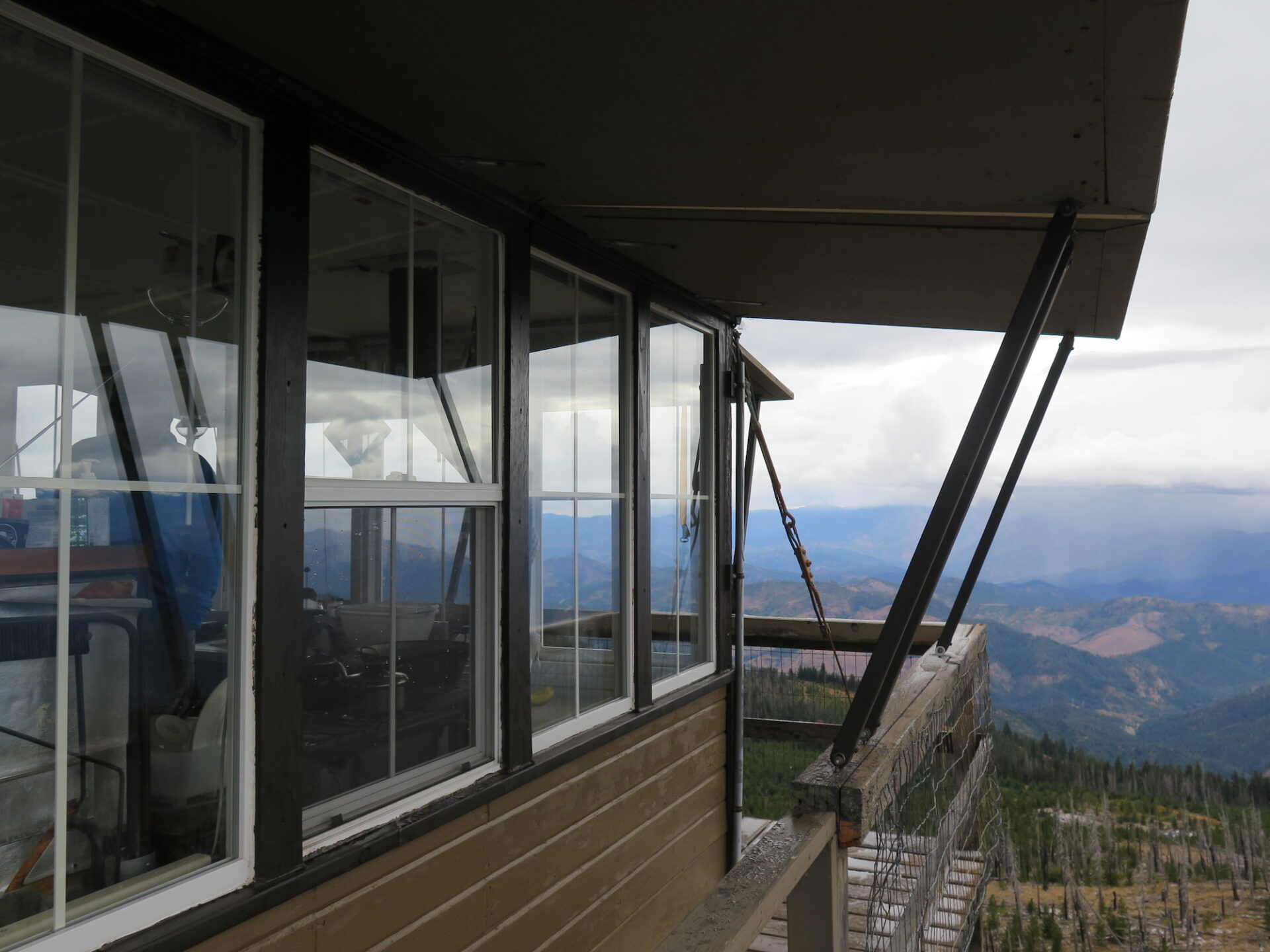
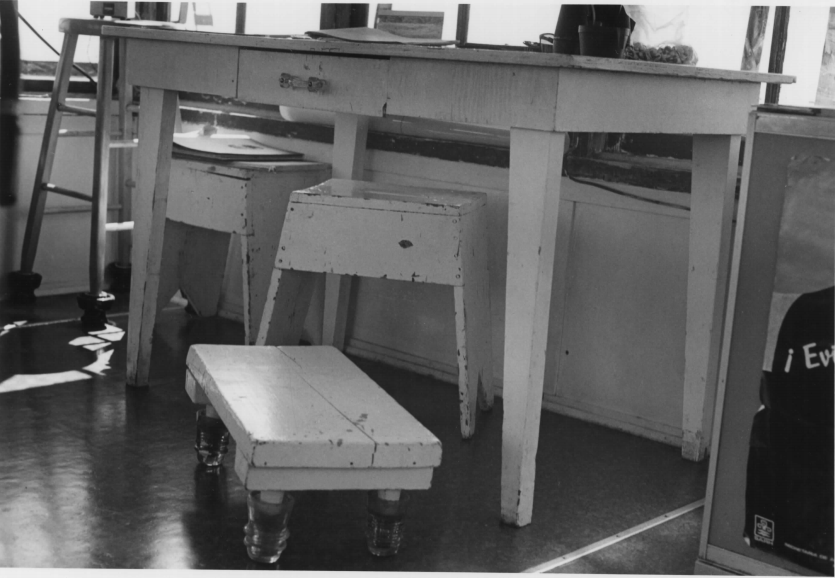
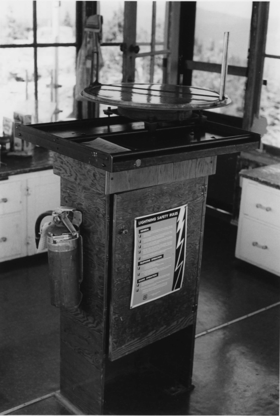
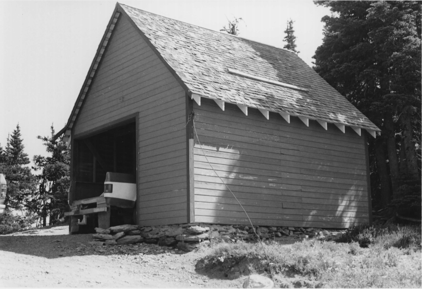
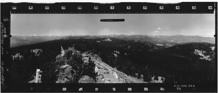
Photos from 2017 visit.
History.
Sugarloaf Peak was one of the earliest fire lookout points to be established on the Wenatchee National Forest. In 1914, it consisted of a camp with fire finding instruments mounted atop basalt pillars at the summit. A primitive road and sheep herder trail led to the camp from Leavenworth and maps from 1922 show a more developed horse trail system with corrals.
In 1924, a more permanent D-6 cupola style lookout was constructed on the summit, requiring blasting to remove some of the basalt pinnacles to make a foundation. Materials were transported by pack horses and required a 4 mile climb of 3,000′. In the 1920s, Gladys West was a lookout at Sugarloaf, having served at several other Wenatchee National Forest lookouts in the early 1920s.
The Civilian Conservation Corp extended roads and added a wood frame garage in close proximity to the lookout. In 1948, the old 1920s D-6 cupola was removed and an L-4 cab was moved to Sugarloaf from Lion Rock, near Liberty in Kittitas County. The Forest Service commonly moved lookouts during this time by cutting them apart, them moving and reassembling them.
The lookout moved from Lion Rock was carefully reconstructed in 1933-1934 during the CCC era and remains today. Sugarloaf has been one of the longest actively used lookouts in Washington and is still staffed seasonally. In fact, when I visited in September 2017, I met the lookout volunteer Gary, who was enjoying his very last day before locking up for the season.
Sugarloaf’s fire history and stories.
Sugarloaf and nearby Tyee lookout have both been threatened by numerous fires, first in 1970 by the 120,000 acre Entiat Fire, again in 1994 by the 180,000 acre Tyee-Hatchery fire, and most recently in 2018 by the Cougar Creek fire.
Karl Rahder served as Sugarloaf’s lookout from 1991-1994 and was forced out during the Tyee-Hatchery fire. Once he made his way to the ranger station and fire camp in Entiat he was told that Sugarloaf had most certainly been destroyed. It was believed that nothing could have survived the wall of flames coming up the ridge.
Turns out Sugarloaf did survive! The tower was saved by a Forest Service strike team leader who had a flare gun and lit a fire around the tower just before he evacuated, which was ten minutes or so after Karl had been ordered to evacuate.
Karl also reported:
The other lookout who worked so hard during the Tyee fire was a volunteer named Bill Lunsford (or Lundsford). He was from Austin, TX, and had quite a season. He was at Tyee lookout tower, and could see right into the heart of the fire. On the night of the lightning storm that started the fire, a biologist named Mallory Lenz was sent up to a reserve tower on the Chelan District (Chelan Butte lookout), and she actually was the first to spot the fire. The three of us spent the next few hours talking on the FS radio, assessing the characteristics of the fire and of course, reporting it to the communications center.
In 2018, the Cougar Creek fire came dangerously close to both Tyee and Sugarloaf and necessitated the evacuation of Sugarloaf. Seasonal employee Gary Knell emailed me the following information:
The lookout survived thanks to the fire crews wrapping the cabin in fire reflective heavy foil. The fire never got too close staying about a quarter mile away. The lookout area was used for all the emergency radio repeater equipment, drone flights to do infrared mapping, and infrared cameras and smoke monitors. We re-opened the cabin on September 2 and closed later in the month. Lot’s of activity with fire crews in and out and now the BAER teams are doing restoration work until the snow flies.
The route.
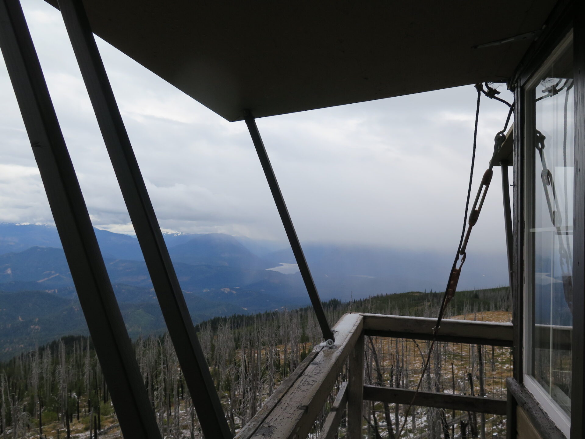
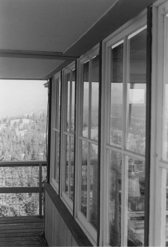
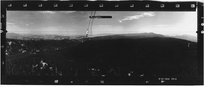
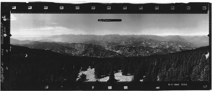
You can drive to just below Sugarloaf and walk a short distance from the gate, but consider parking lower and enjoying a nice hike up. From the lookout, the views of the Wenatchee Valley, Glacier Peak Wilderness, and Lake Wenatchee are phenomenal! Sugarloaf is a unique spot with all of its impressive basalt columns.
A bonus for me was that I got to visit Sugarloaf not only with my dad and stepmom, who were in town visiting, but also while it was open. We happened to catch seasonal employee Gary Knell on his very last day and enjoyed some wonderful information and history. We also enjoyed a fresh coating of snow and lucked out with some peek-a-boo views through the clouds. I’ll definitely be back to Sugarloaf, this one is great and makes a good bike ride too!

Directions.
There are numerous routes to Sugarloaf, so consult a map and get creative. When I visited, I took the Eagle Creek Road approach from Leavenworth.
From Leavenworth, turn onto the Chumstick Highway and take a right onto Eagle Creek Road in 2 miles. Follow Eagle Creek Road just under 6 miles to a left turn onto Van Creek (Forest Road 7520). The road makes some twists and turns, but follow it about 4 miles to the junction with Forest Road 5200 and take a left. Follow 5200 about 4 miles or so to the gate just below the summit of Sugarloaf.
The roads were reasonably well maintained but inclement conditions may require a high clearance 4×4.