North Cascades | Okanogan Range
Okanogan-Wenatchee National Forest | Pasayten Wilderness
Location: 48.7427973,-120.6847193
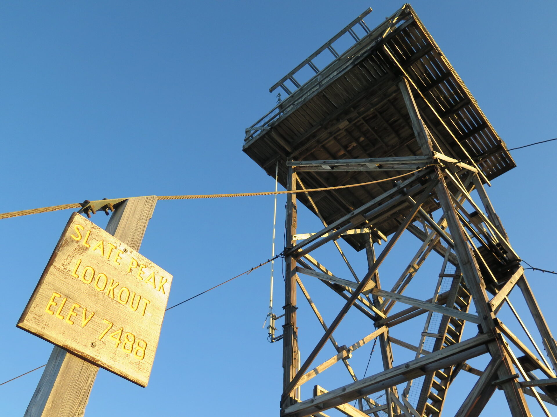
Summit Elevation: 7,440′
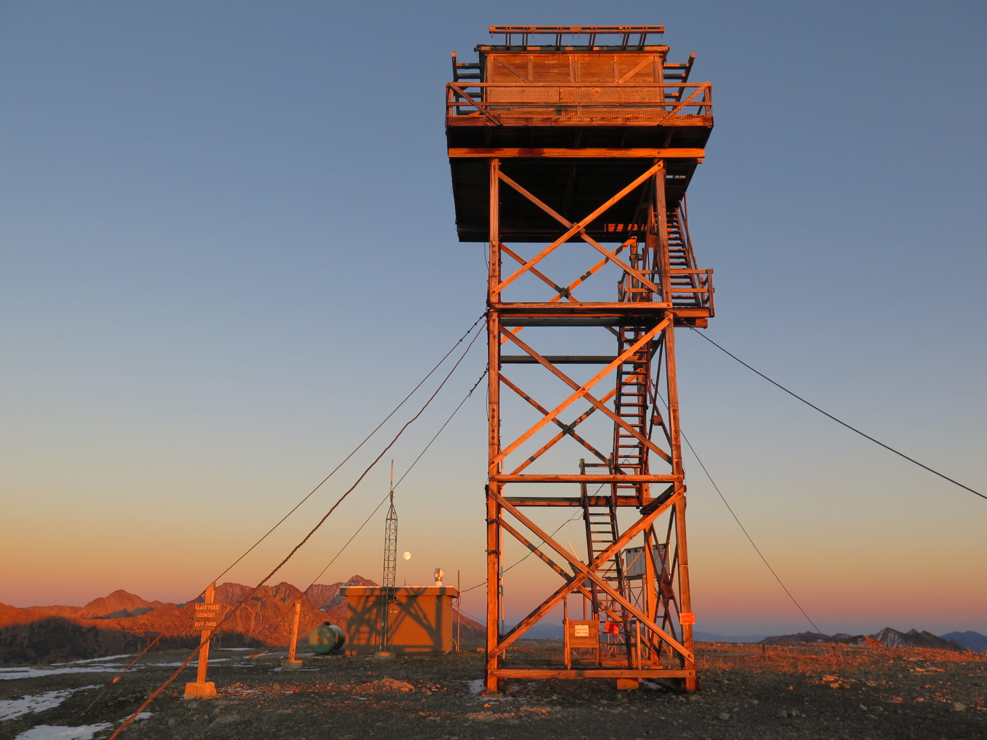
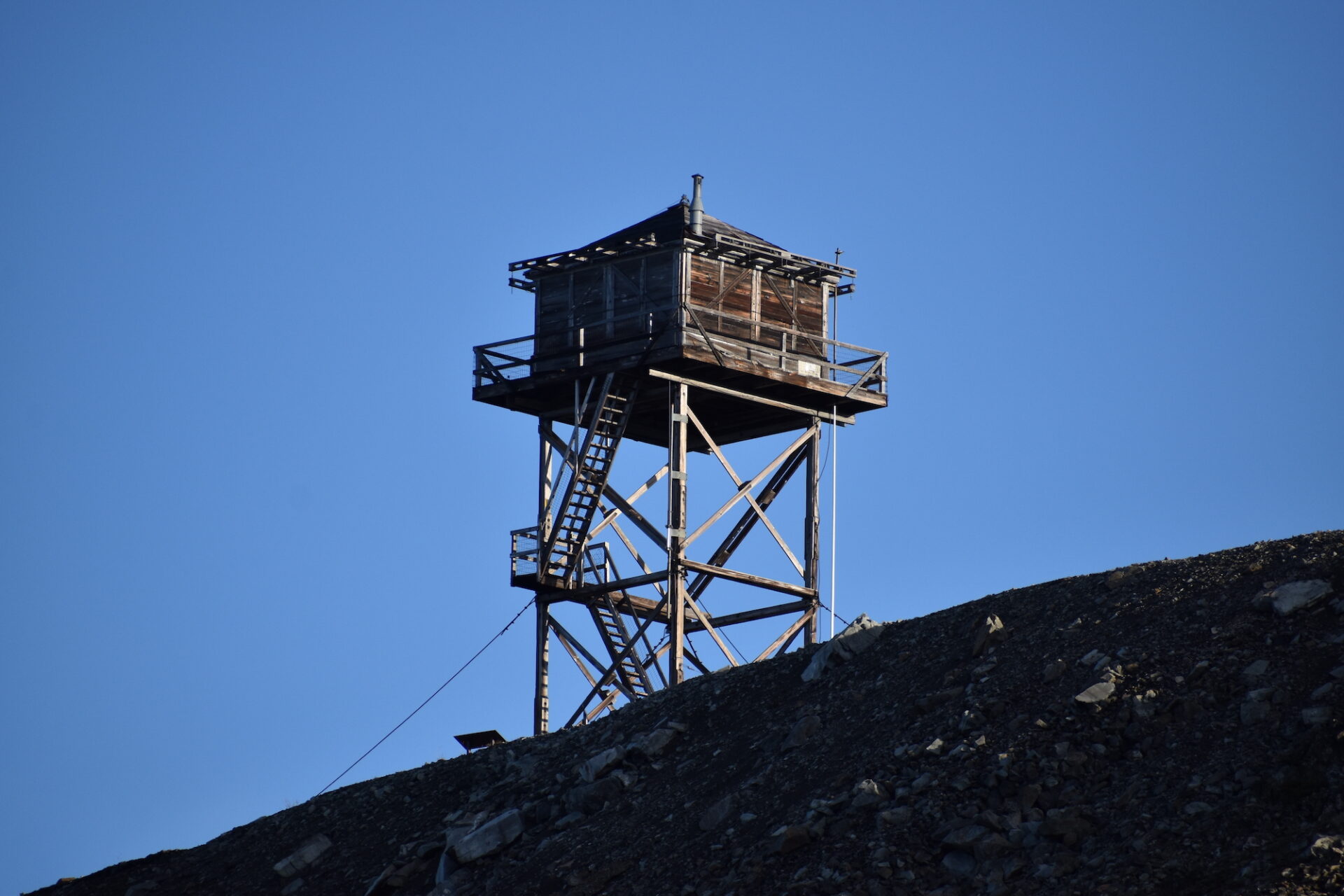
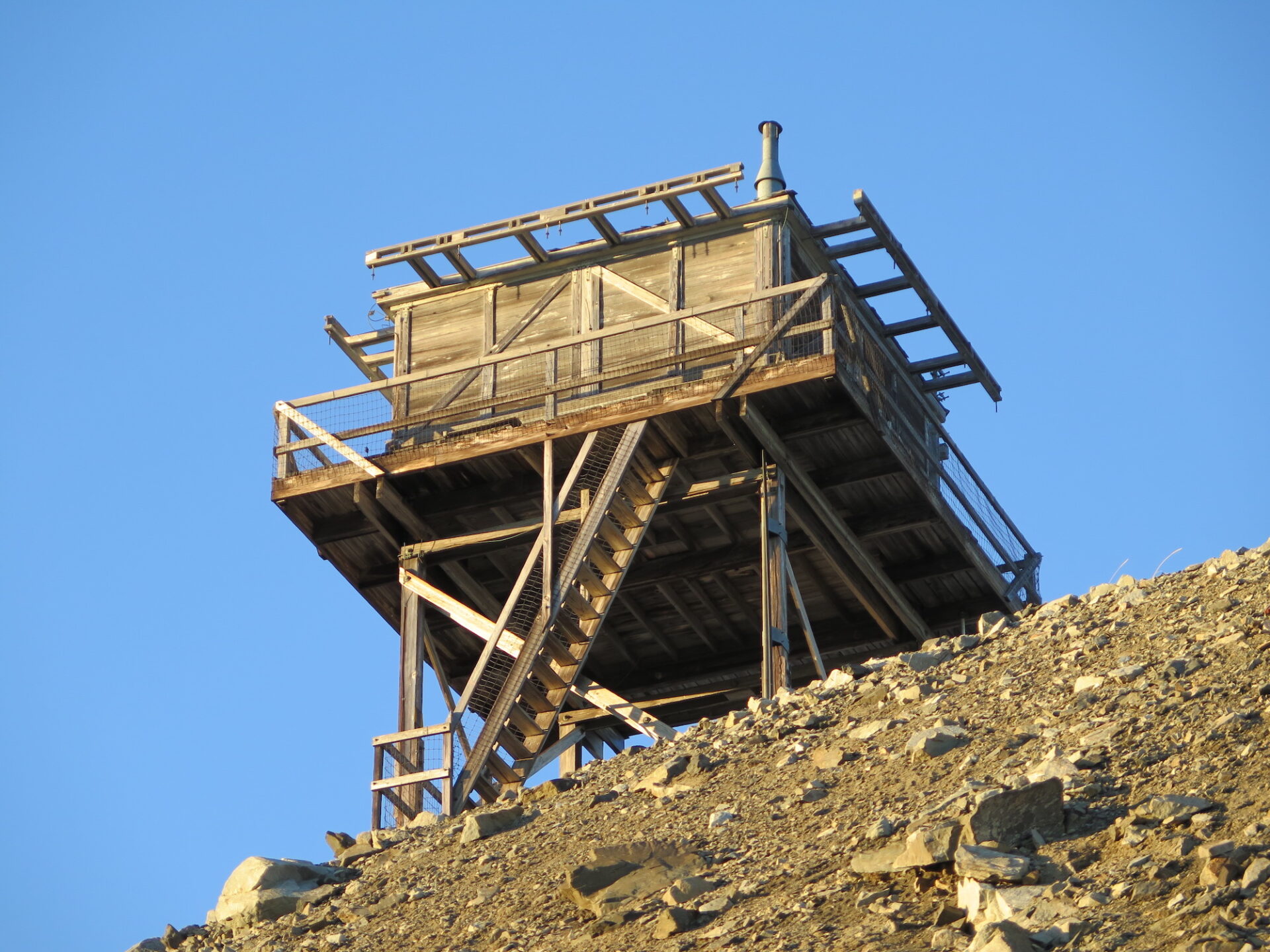
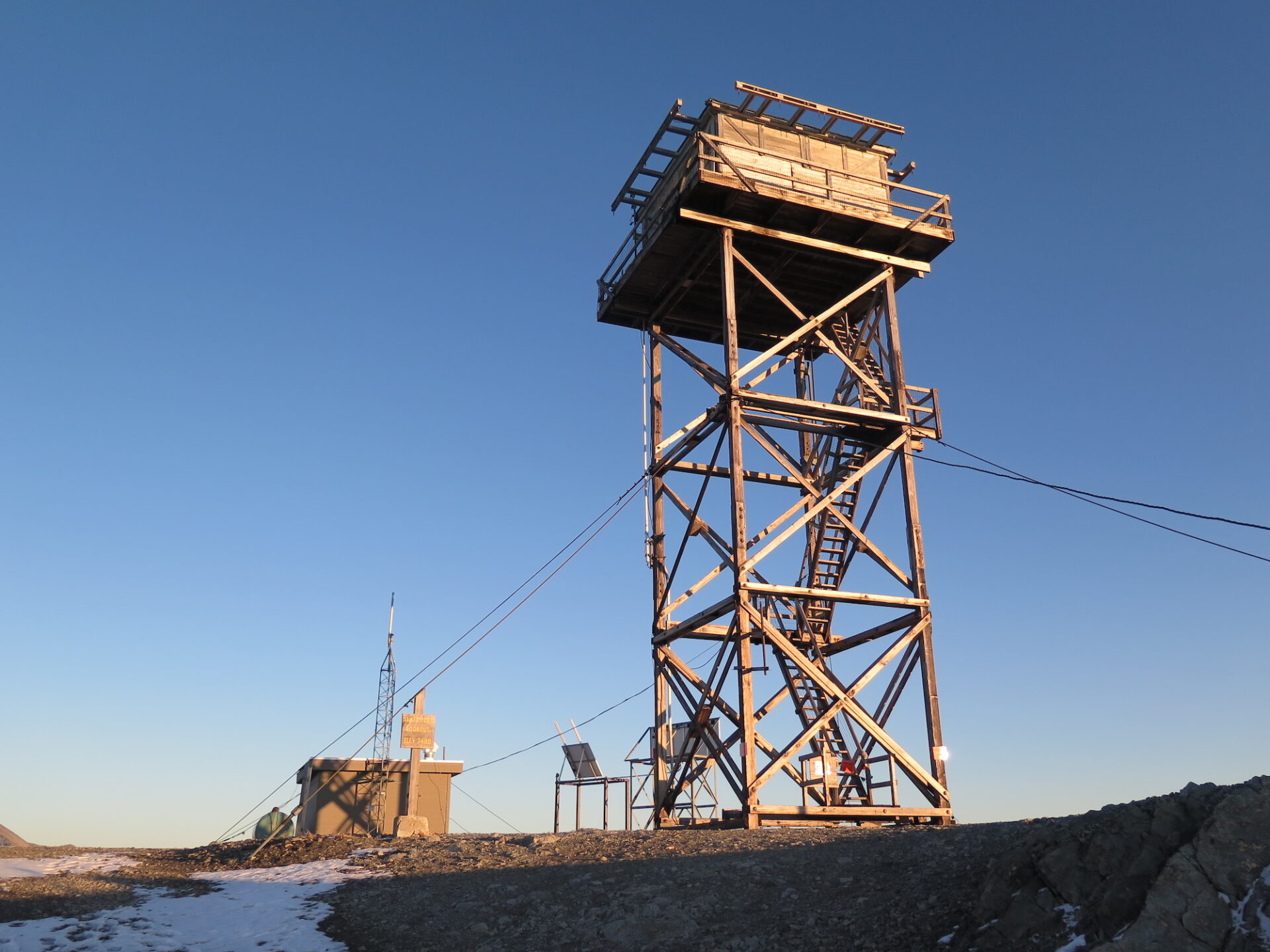
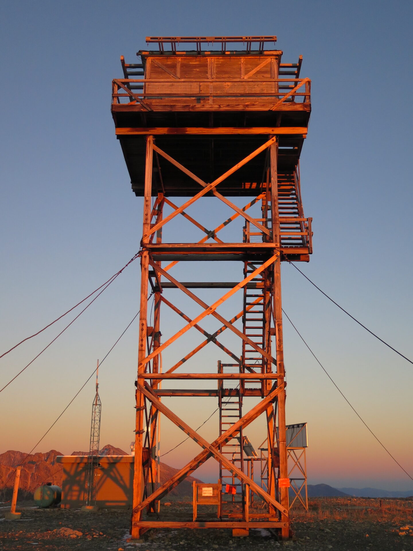
Lookout Type: 41′ L-4 tower
Site Established: 1924
Current Structure Built: 1956
First Visited: 10/3/17
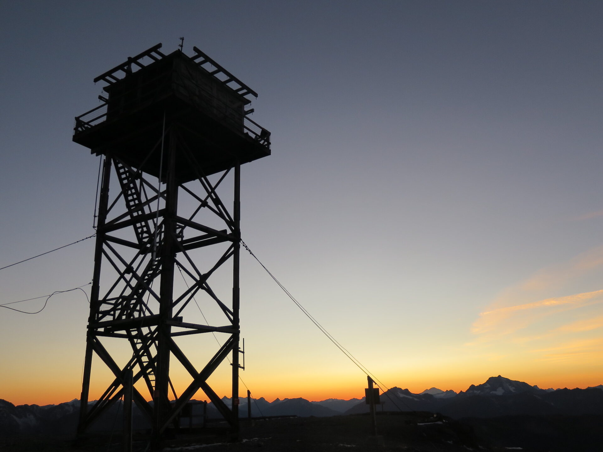
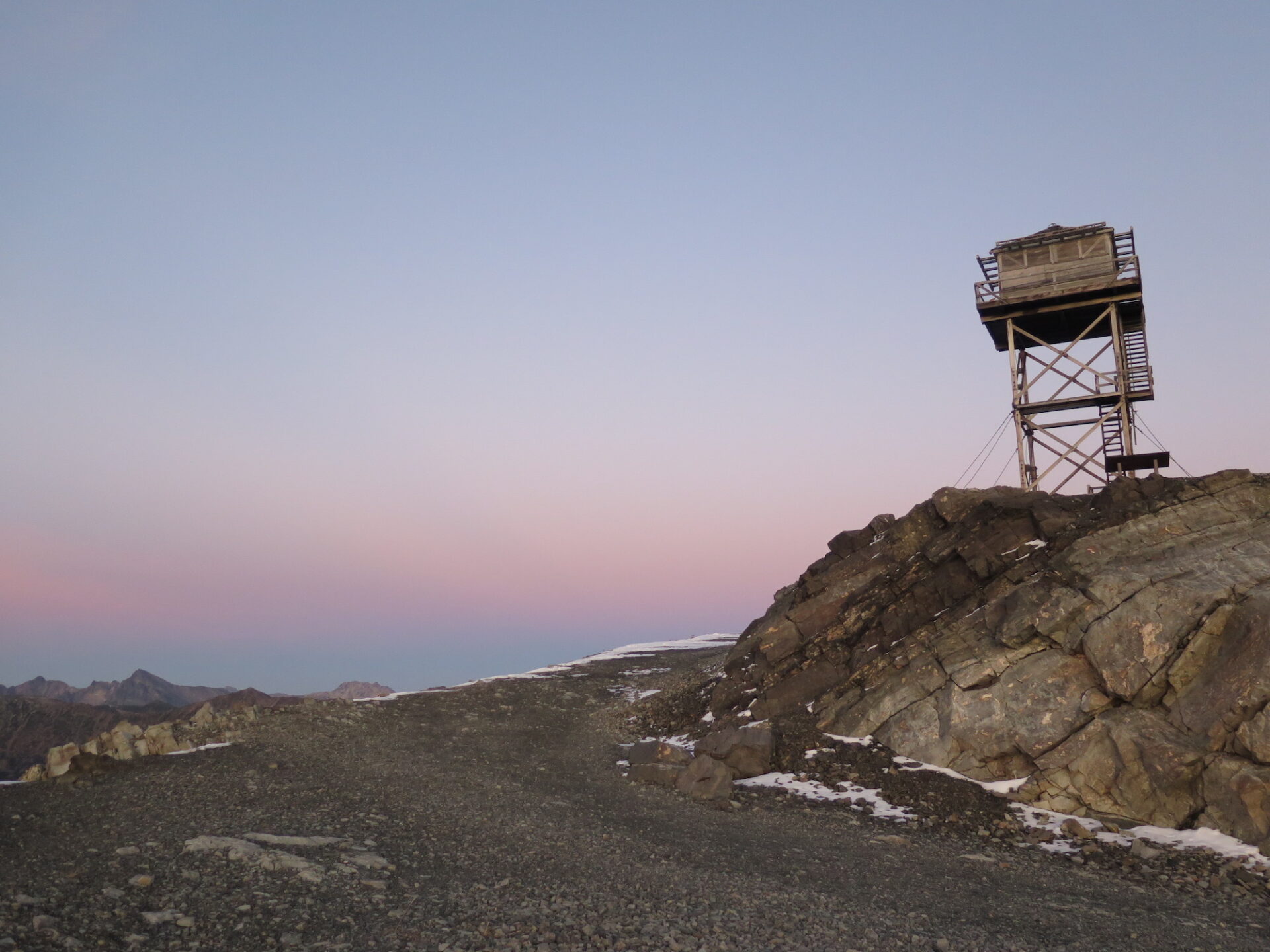
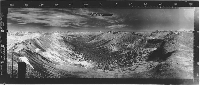
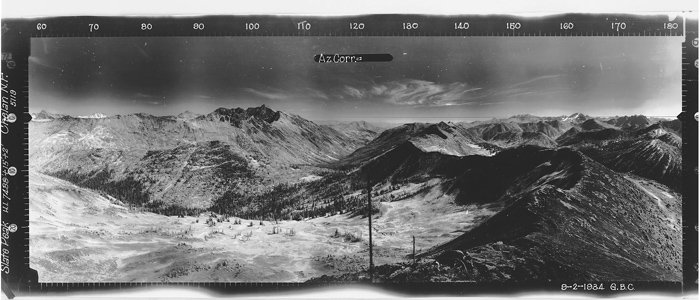
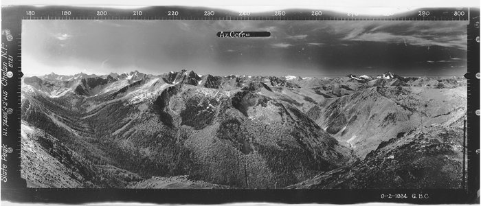
Slate Peak Lookout is the 2nd highest fire lookout in Washington State located at the end of the highest road in the State, often considered the most harrowing drive around. In 1926, the top 40′ of Slate’s summit was blasted away for a WWII radar station that was never built. From this lofty summit, the views of the North Cascades and Pasayten are truly “on top of the world” spectacular!
Photos are from visits in 2017 and 2019.
History.
At 7,440′, Slate Peak is Washington’s 2nd highest fire lookout located at the end of the highest elevation road in Washington State. The lookout was first constructed in 1924 as a gable roof cupola, then replaced in 1954 with an L-4 ground cab that was moved from Leecher Mountain.
Two years later the Department of Defense destroyed the lookout and blasted away the top 40′ of Slate’s summit to make room for a World War II radar station that never got built. In 1956, the Forest Service rebuilt the lookout, placing it 40′ above the ground to restore the original view. The floor of the current lookout is now at the original level as the top of Slate Peak.
The lookout was used in 1994 when Goat Peak had to be evacuated due to fires and again in 1996 for monitoring the Elbow Basin fire in the Pasayten Wilderness.
The route.
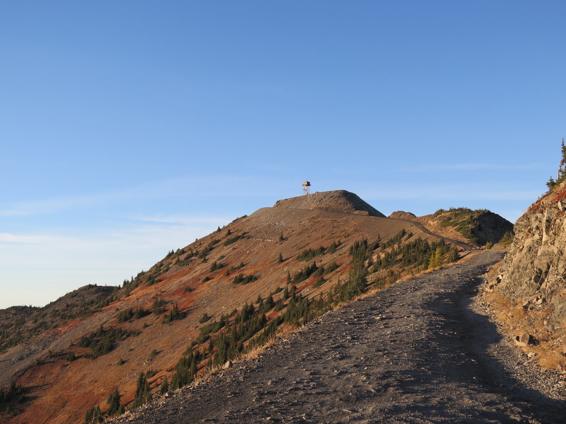
Distance (RT): 0.7 miles
Elevation Gain: 250′
From the gated parking area, the lookout is just over a quarter mile hike up the road and has breathtaking views of the entire North Cascades and Pasayten Wilderness. The lookout is off limits for climbing, but the views from the wide summit are plenty big!
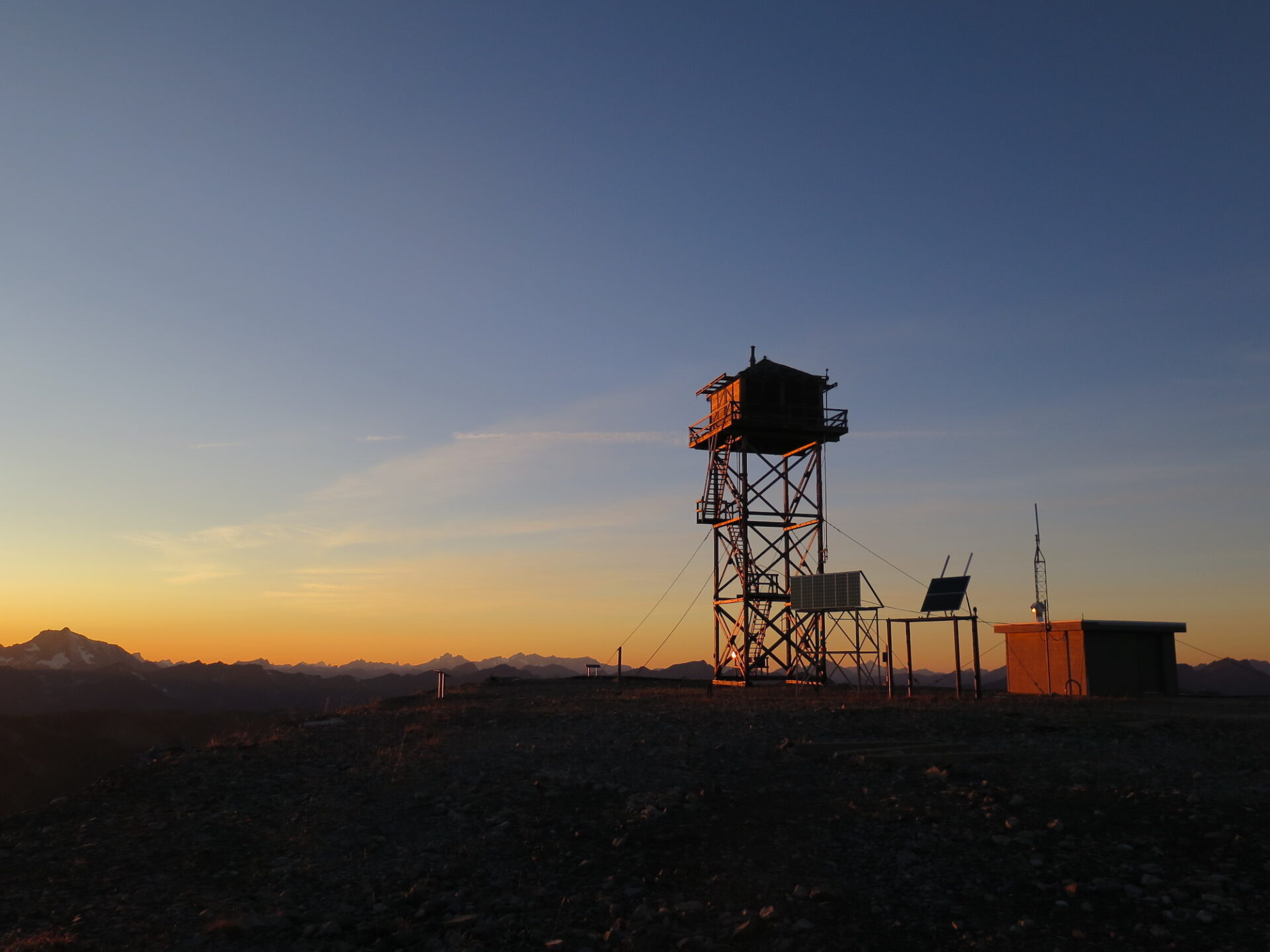
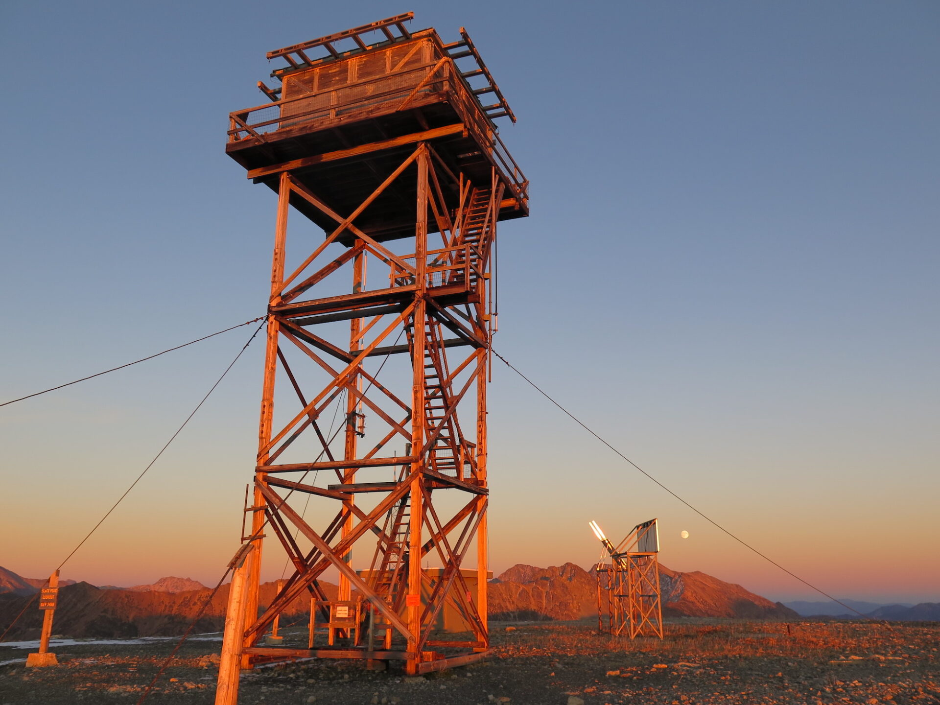
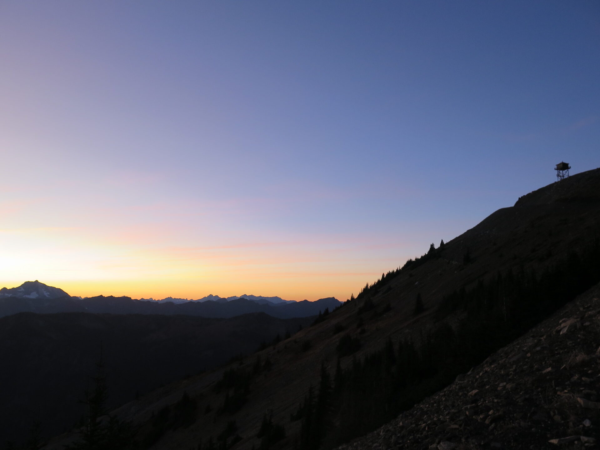
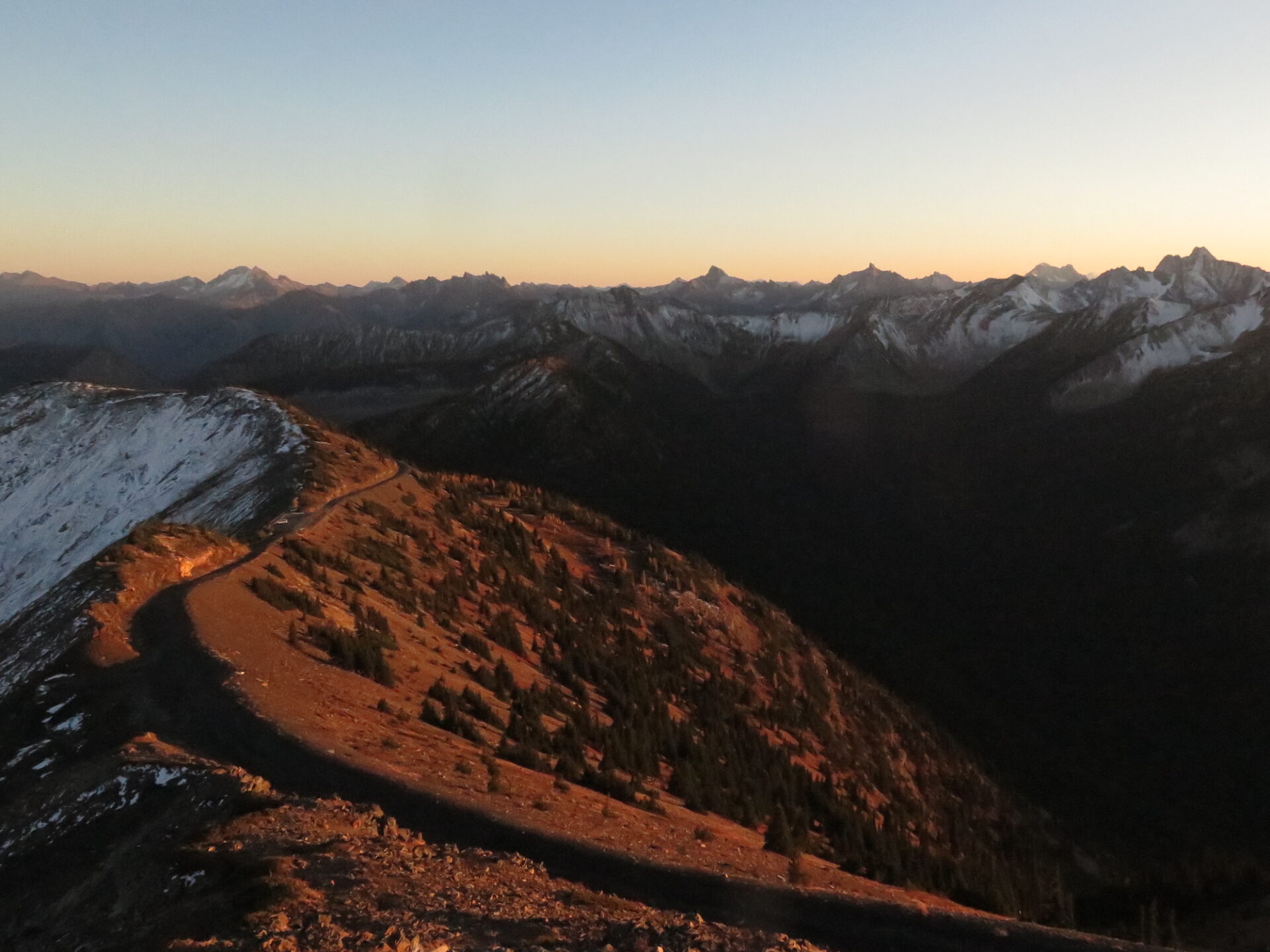
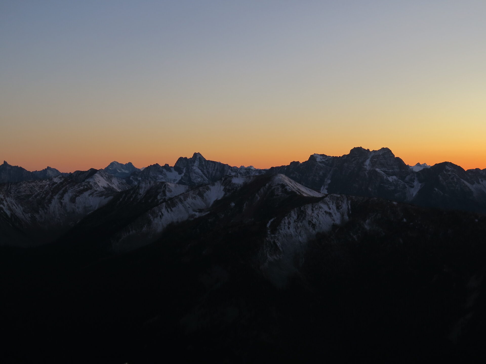
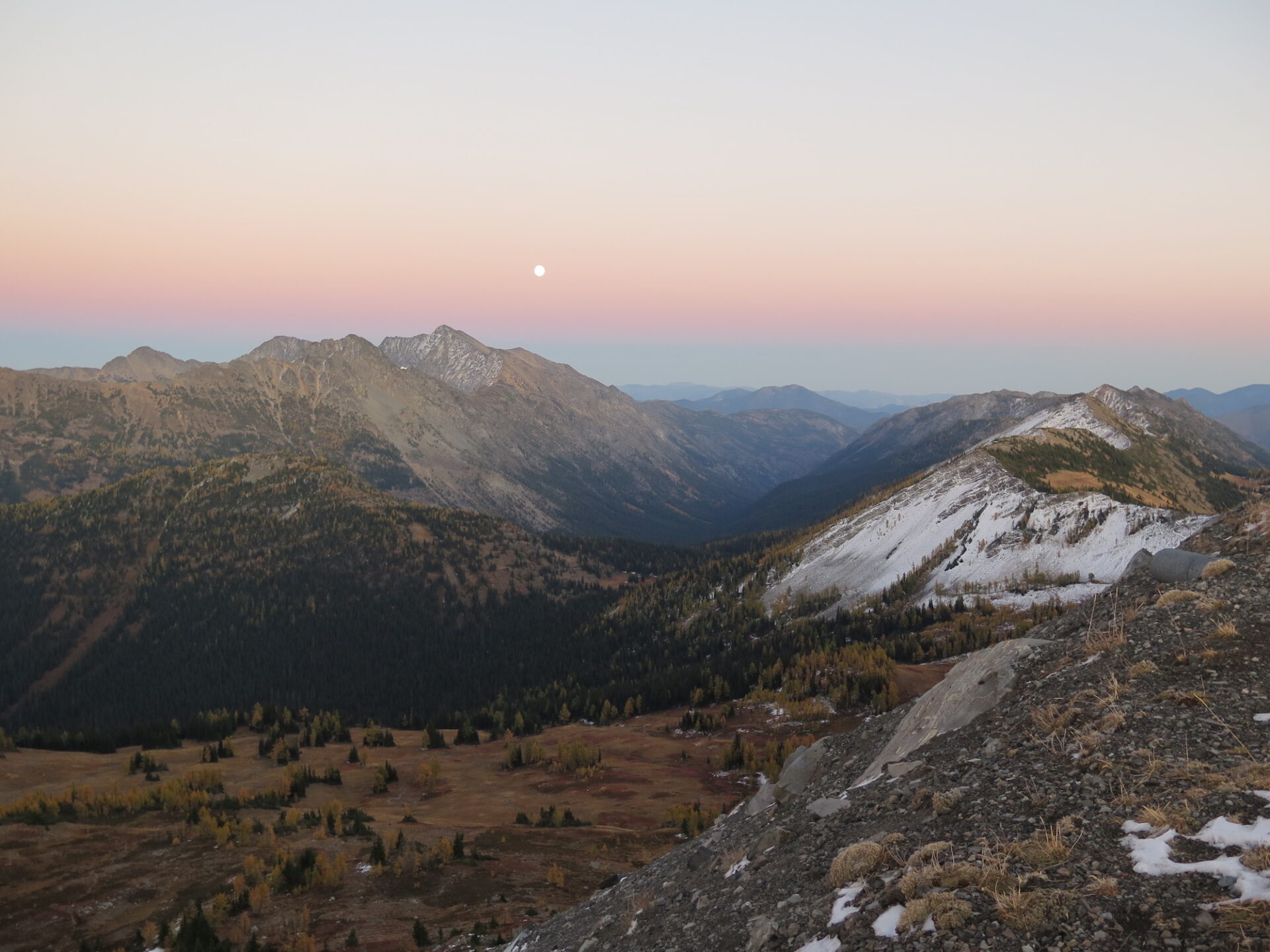
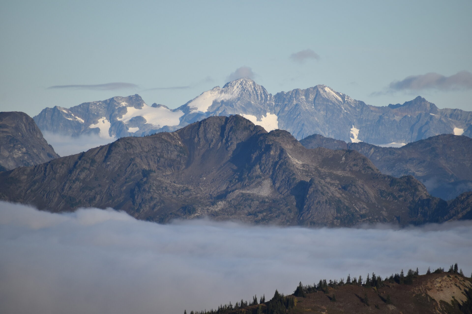
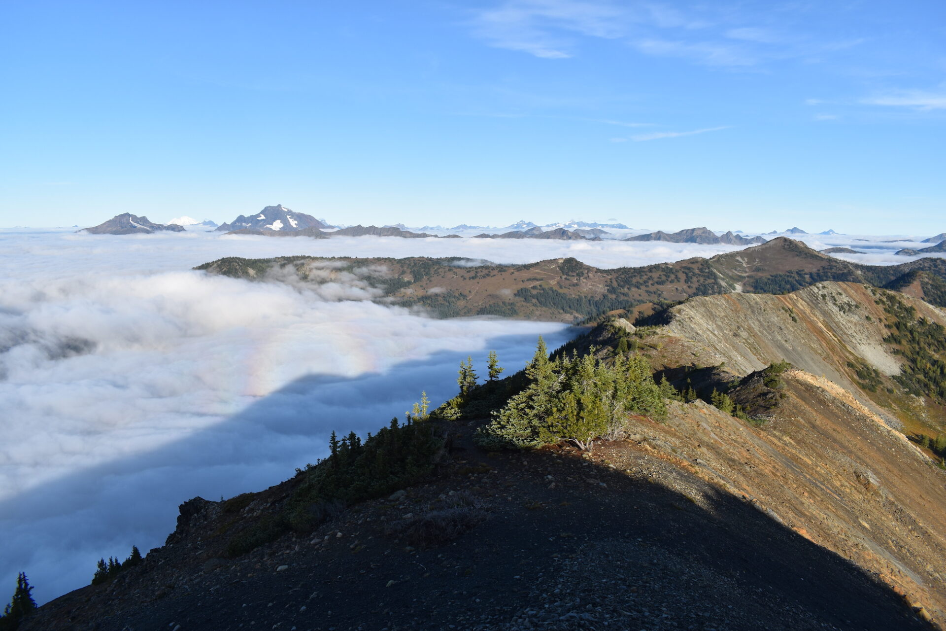
This is a great spot to visit for sunrise or sunset, spread out, bring a picnic, and see how many summits you can recognize. Jack Mountain, Redoubt, Mox, Spickard, Robinson, Golden Horn, and even Baker can be seen from the top.
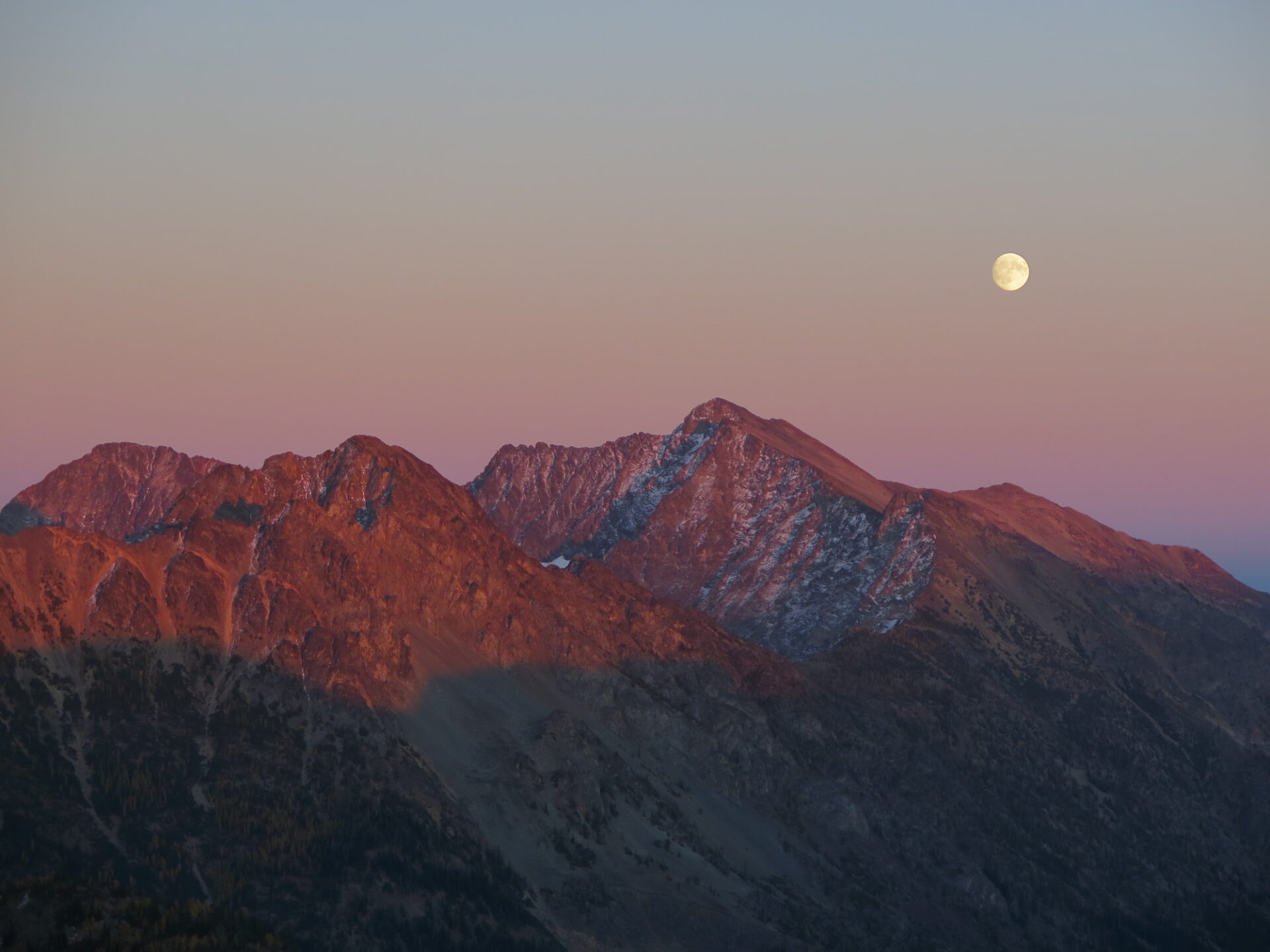
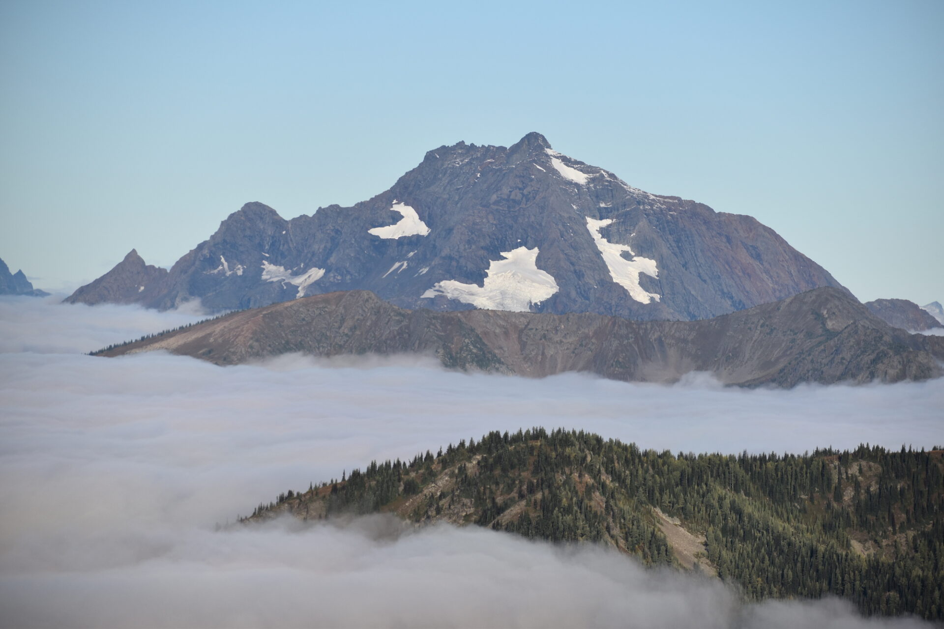
Below are some gorgeous views from the summit of Slate during a late fall sunset and an early morning cloud fest!
Directions.
From Mazama on Highway 20, follow the Lost River Road (Forest Road 5400) 20 miles towards Hart’s Pass. At Hart’s Pass, turn right onto Slate Peak Road and continue another 3 miles to a small parking area at the locked gate just below the summit. Though the road is relatively well maintained and passable by most cars, be prepared for a narrow, somewhat vertigo-inducing drive!
The road to Hart’s Pass is considered Washington’s most harrowing drive, mostly due to a half mile section called Dead Horse Point. Here, the road narrows and on one side, a steep rock wall may rain debris on you and on the other it’s an airy, dizzying drop straight to the valley floor below!
The road is plenty safe though as long as you take it slow. If you do meet another vehicle and you’re the outside downhill car, no doubt your heart will beat a little faster, but with convenient maneuvering and patience, you can get around other cars if you meet them, just go slow.
With its high elevation, the best time to visit Slate is August and September. You may find the road snow-covered early or late in the season, which will require slightly more hiking.