
Okanogan Highlands | South Okanogan Highlands
Colville Indian Reservation
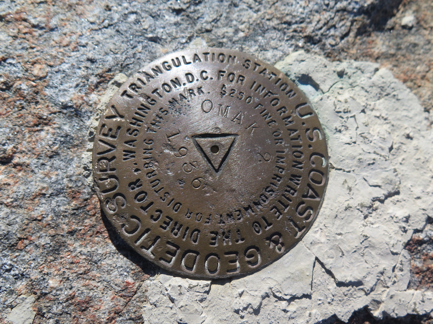
Location: 48.449202, -119.309247
Summit Elevation: 5,747′
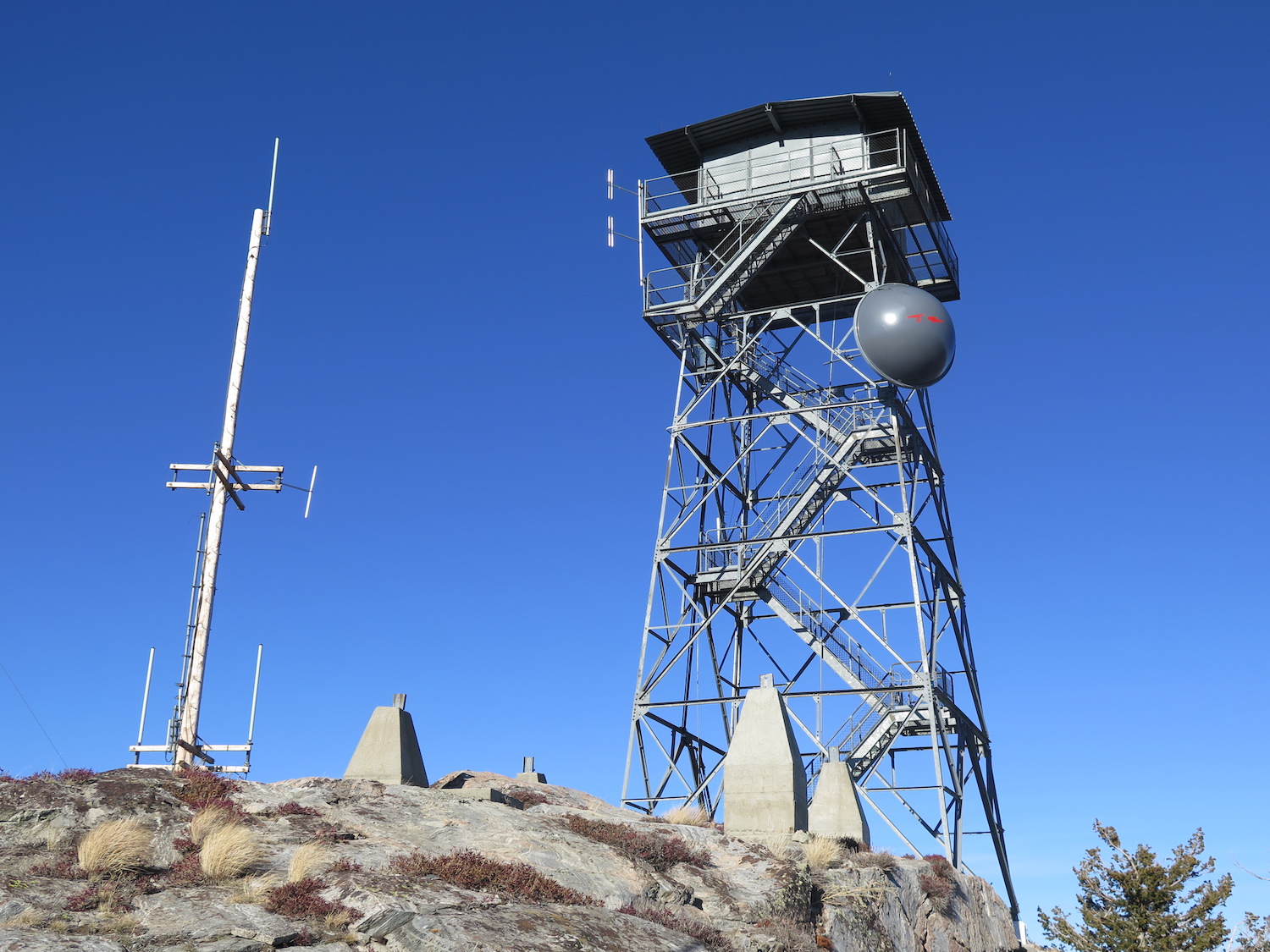
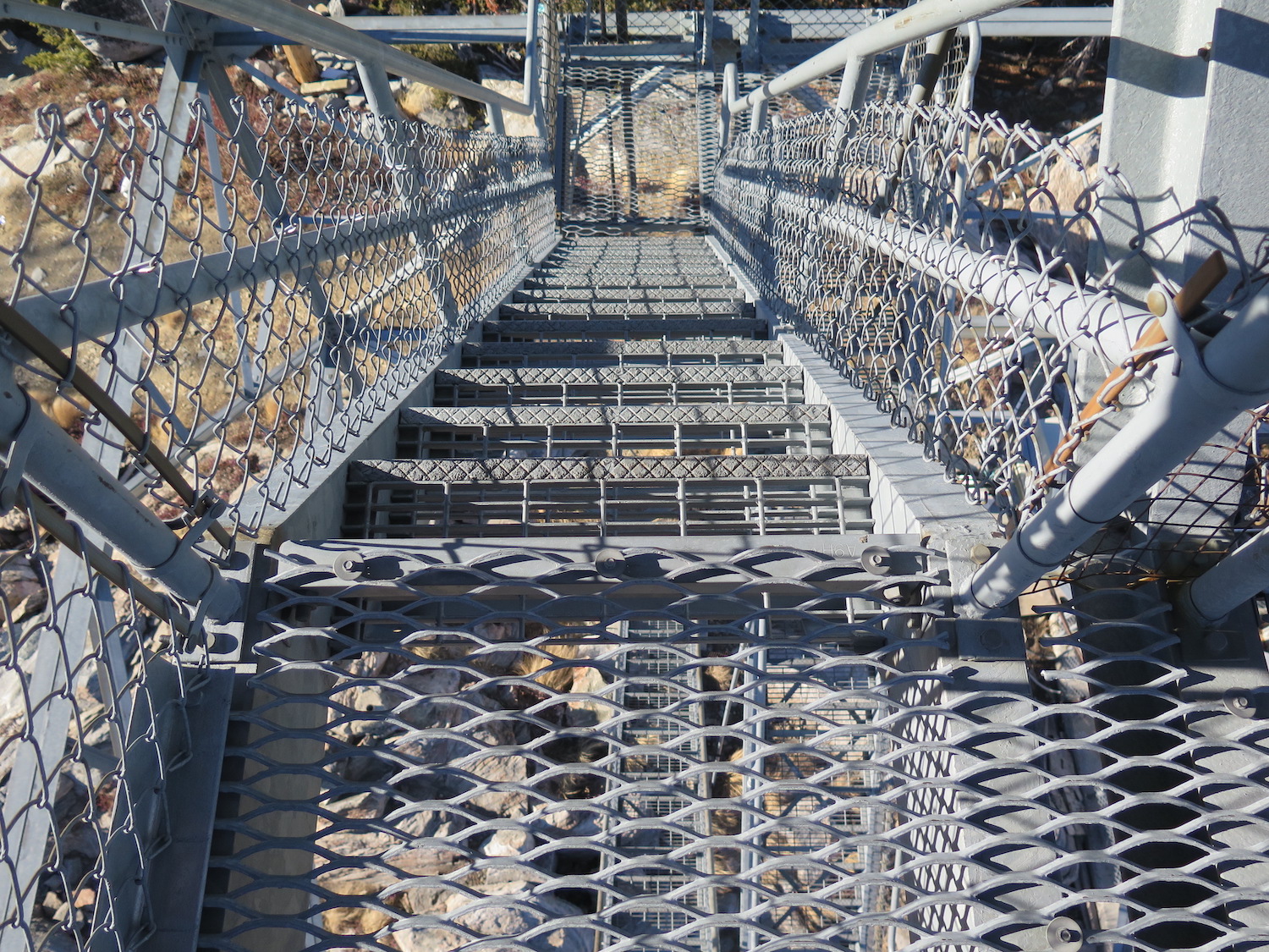
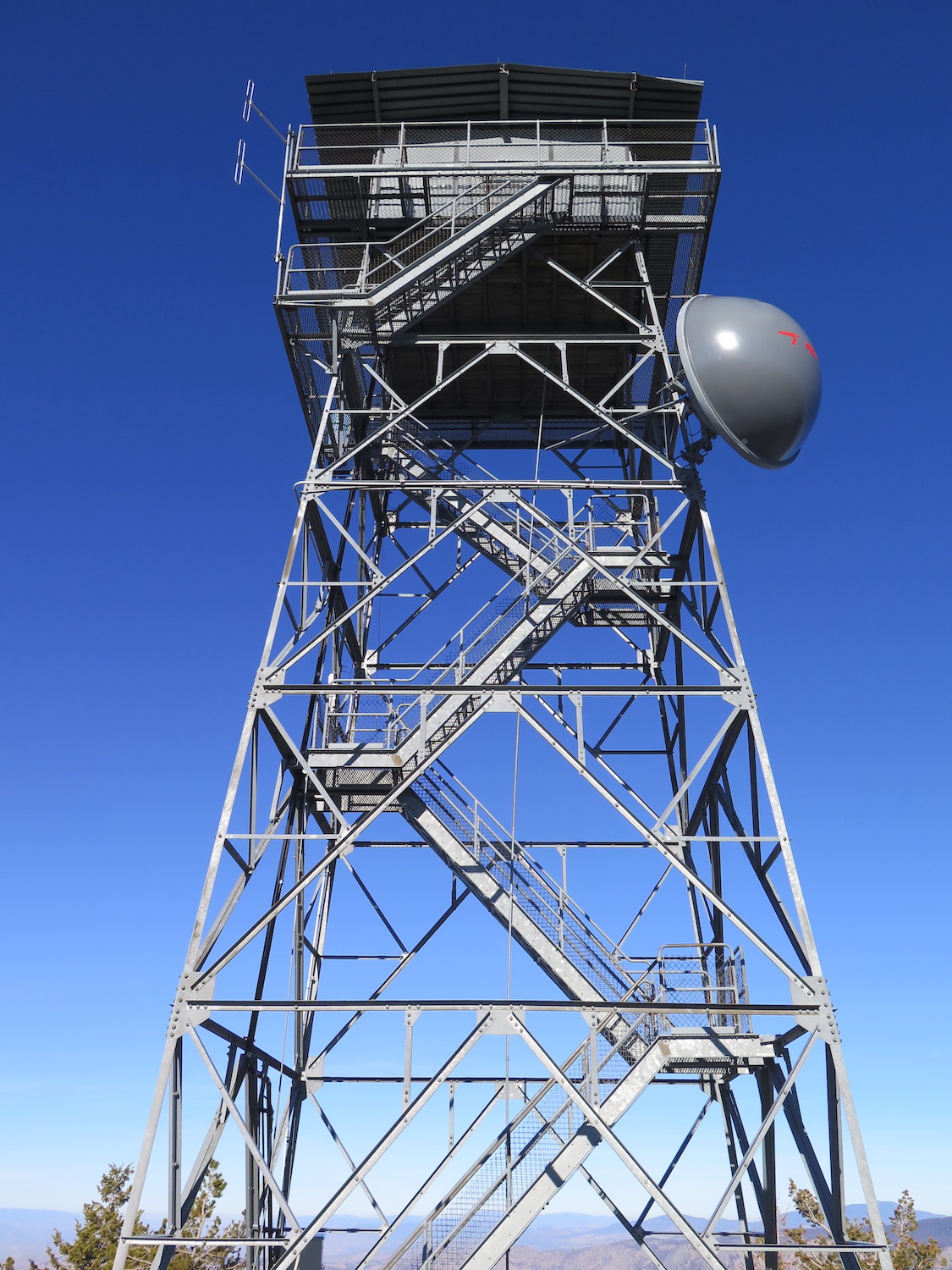
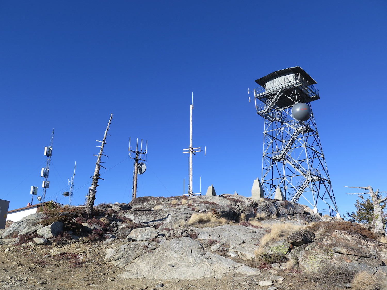
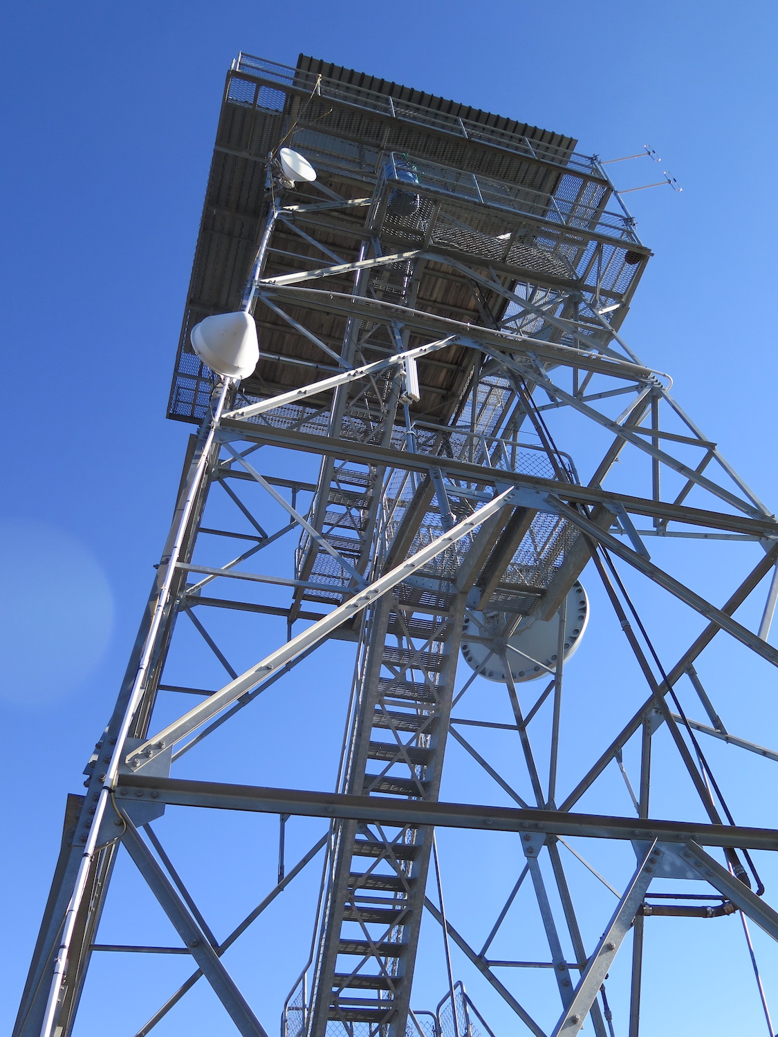
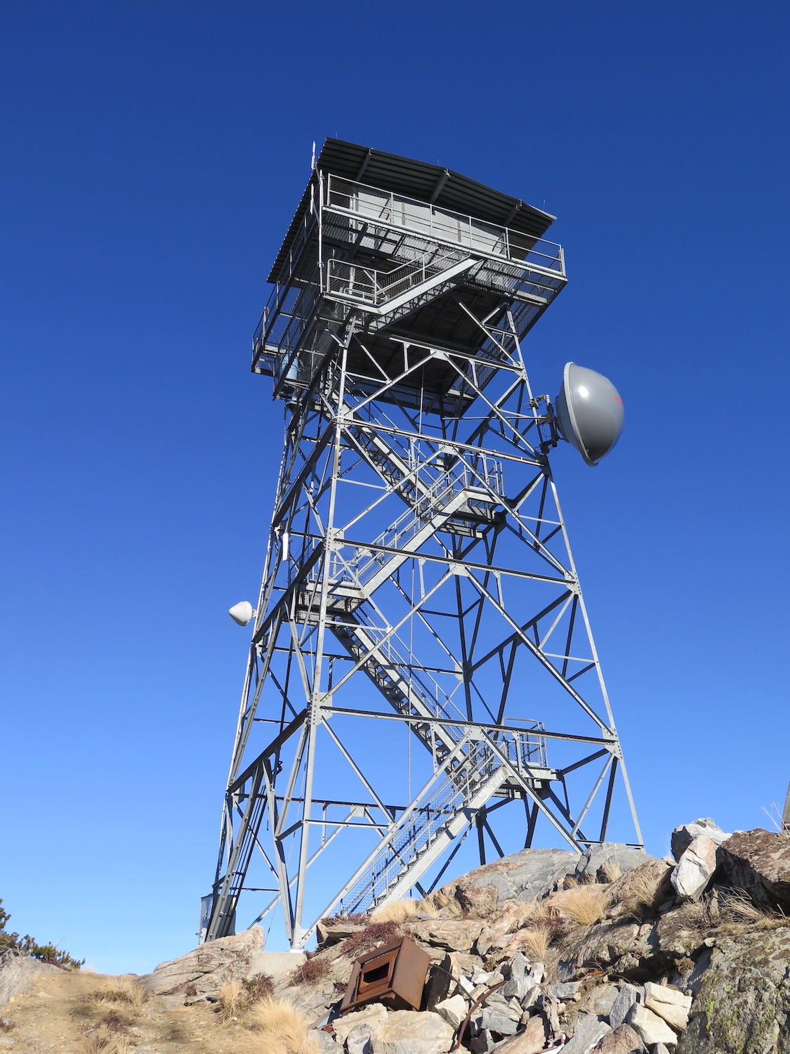
Lookout Type: 53′ steel tower
Site Established: 1935
Current Structure Built: 1986
Date Visited: 11/19/18
The present 53′ steel tower on Omak Mountain remains staffed during times of high fire danger and the road to Omak might very well be one of the rockiest and roughest roads to any fire lookout in the State.
Photos from 2018.
History.
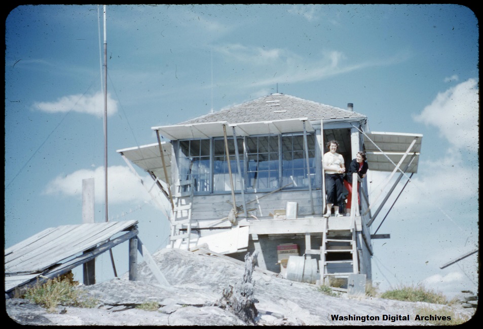
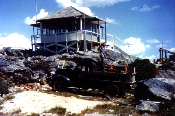
An L-4 cab lookout was first constructed on the summit of Omak Mountain in 1935 by the Civilian Conservation Corps. In 1943 it was reported in the Colville Examiner that many teachers were employed as fire lookouts that summer across the Colville National Forest, including Miss Rachel Butte from Chewelah Junior High on Omak Mountain.
The L-4 was replaced in 1968 by a 20′ timber tower with R-6 flat cab, then again in 1986 with the present 53′ all-steel live in tower that is still staffed in summer.
The route.
It is possible to drive all the way to the summit with a high-clearance AWD but the road becomes very rocky and rough at 4,300′ about 2.5 miles from the summit. I drove my old Jeep Cherokee all the way and consider Omak one of the worst roads in the state to a fire lookout.
If you do hike from the old road gate, it’s about 5 miles round trip and 1,400′ gain.
Directions.
From Omak follow Highway 155 for roughly 13 miles, then turn left on Omak Lookout Road. Follow the road 10ish miles to the summit or until the road gets too rocky and rough for your vehicle.
Note: To visit Colville Confederated Tribal land, non-tribal members must now purchase a recreation permit for $80/annually. Passes may be purchased online.