
Olympic Mountains | Northwest Olympics
Olympic National Forest
Location: 48.08445, -124.07239
Summit Elevation: 3,320′
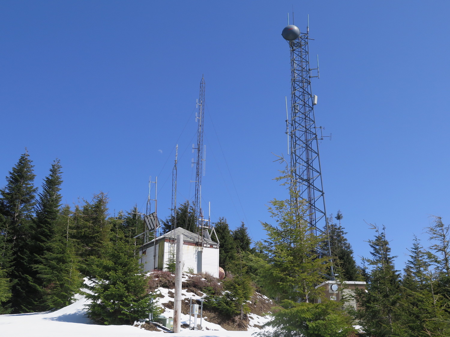
Lookout Type: L-4 cab
Site Established: 1939
Current Structure Built: 1939
Date Visited: 4/22/18
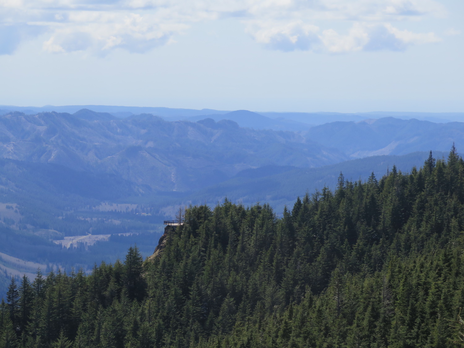
North Point certainly doesn’t win any style points, but it still has commanding views to the southwest and also gives you an excuse to visit the Kloshe Nanich former lookout site a mere half mile away.
History.
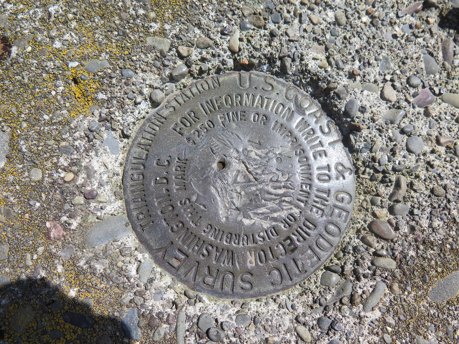
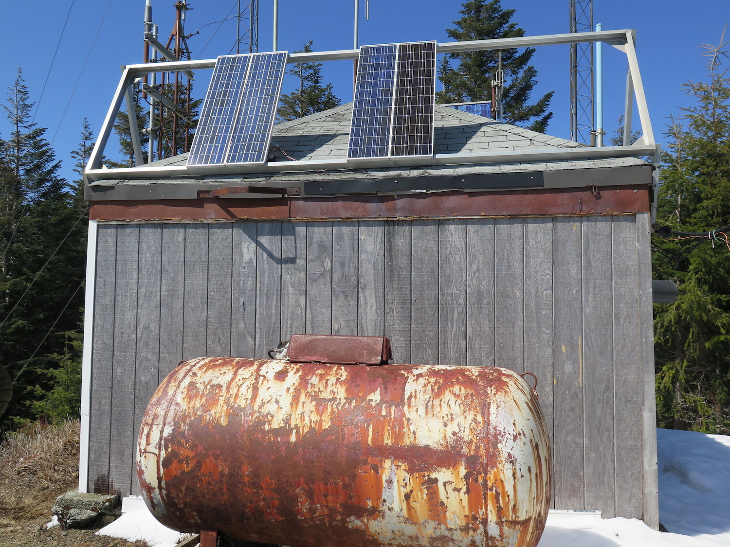
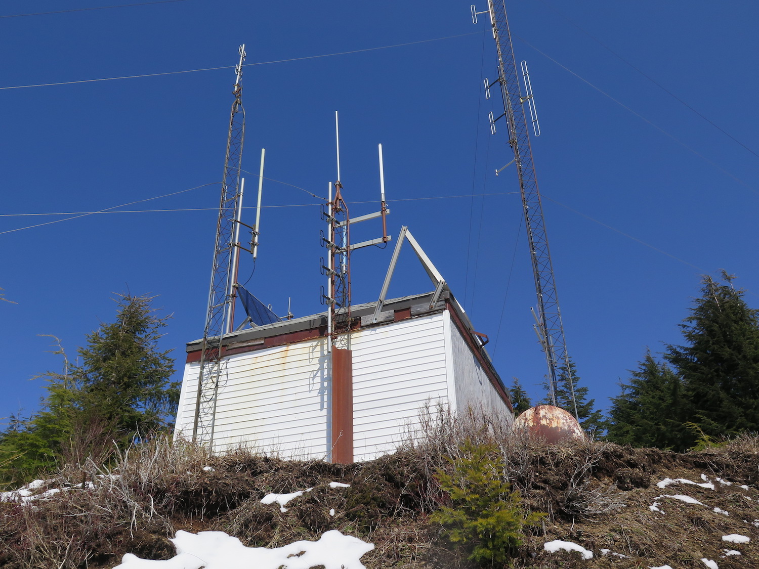
The North Point L-4 lookout cab was built in 1939, used for several years, then sporadically in the 50s before being abandoned in 1969. The lookout has since been converted into a communication tower, but it’s still considered a standing structure in its original location.
It was believed that North Point was initial a patrol point for the nearby Kloshe Nanich site, but with its higher and more favorable location, likely replaced Kloshe Nanich all together.
The route.
Distance (RT): 1 mile
Elevation Gain: 125′
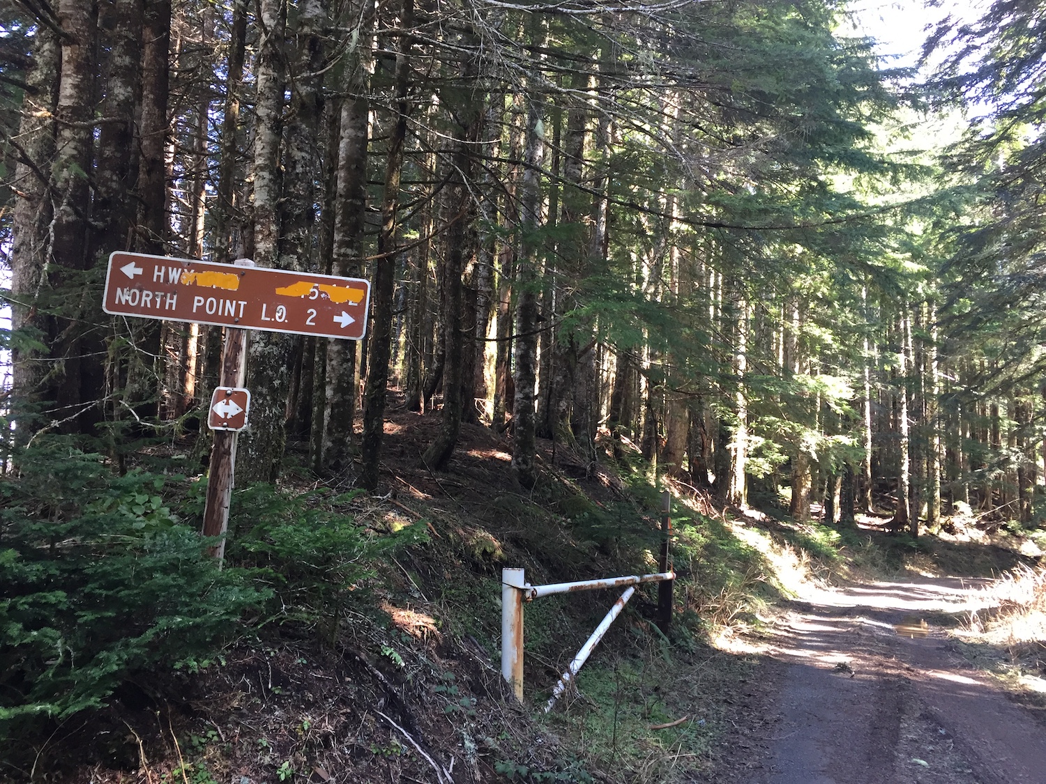
The easiest way to reach North Point is by making the drive up to the Kloshe Nanich former lookout site and then walking a half mile up the road past a closed gate. The road drive is steep and narrow in spots and though the road was in reasonably good condition when I visited, high clearance is likely recommended.
It is possible to turn this into a longer outing by hiking up from the Kloshe Nanich trailhead along Highway 101. This route is about 7 miles and nearly 3,000′ gain.
This alternate route from Highway 101 adds a little climbing to your day!
Directions.
From Port Angeles, take Highway 101 approximately 34 miles west. Turn right on W Snider Road, which heads to the Snider Work Center and Klahowya Campground. Turn onto Forest Road 3041 and follow 7.5 miles to the small parking area at Kloshe Nanich.