Columbia Basin | Southwest Selkirks
Mount Spokane State Park
Location: 47.92365, -117.112172
Summit Elevation: 5,883′
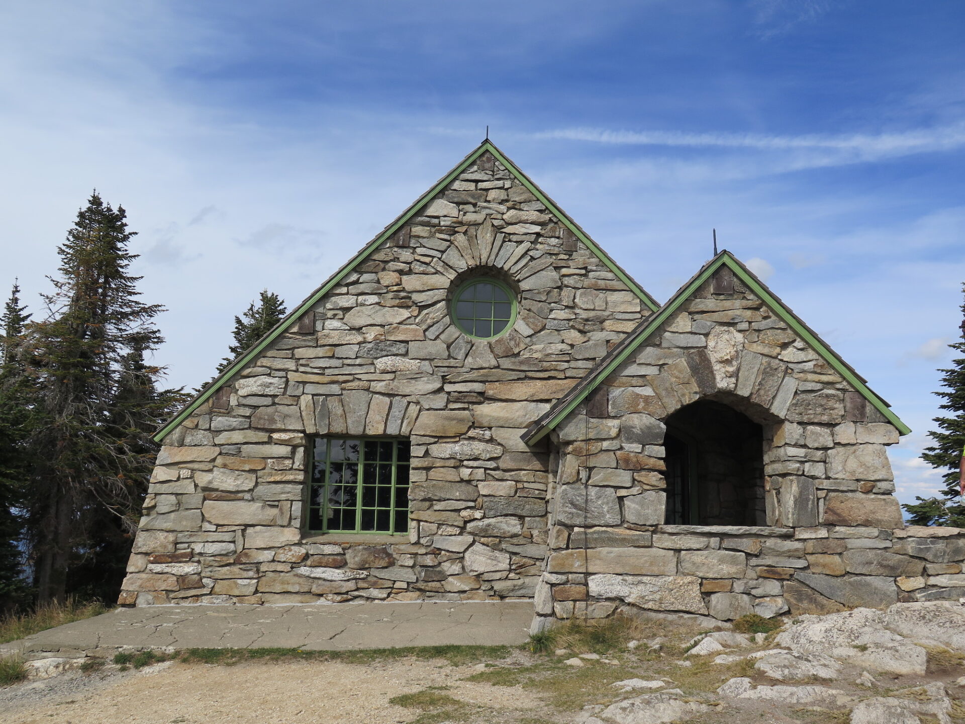
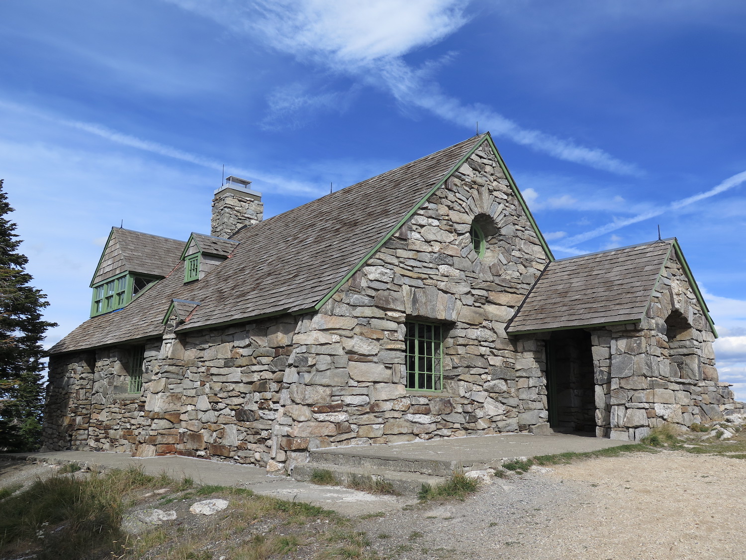
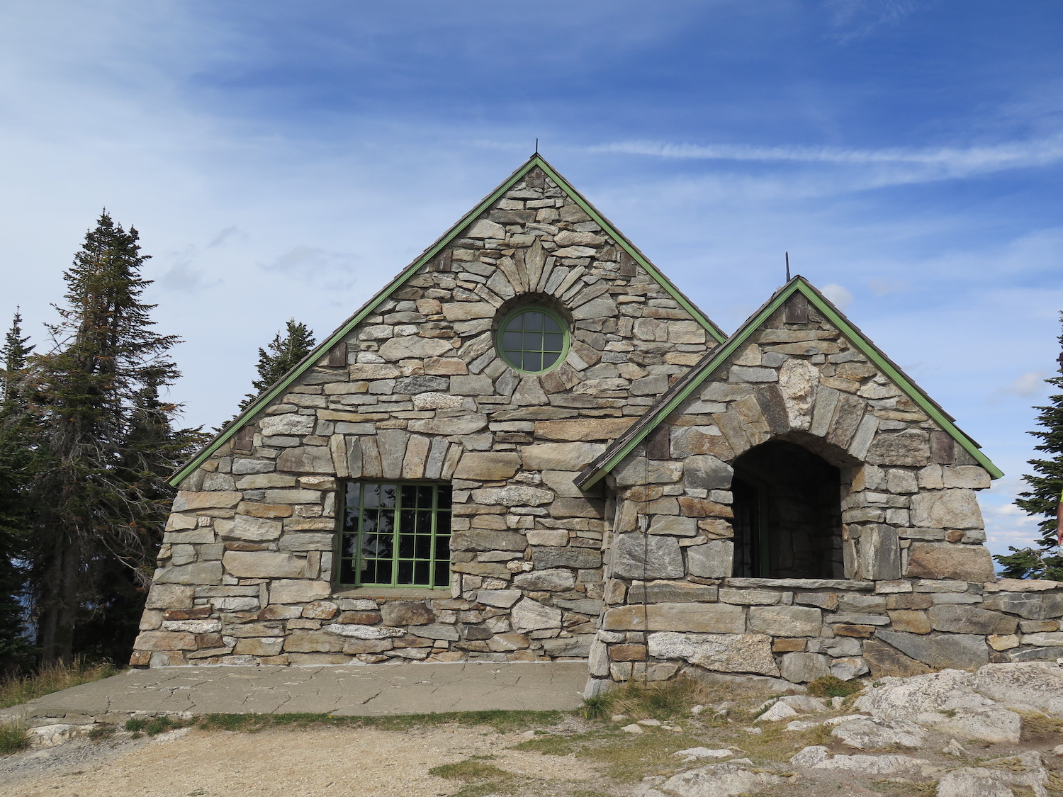
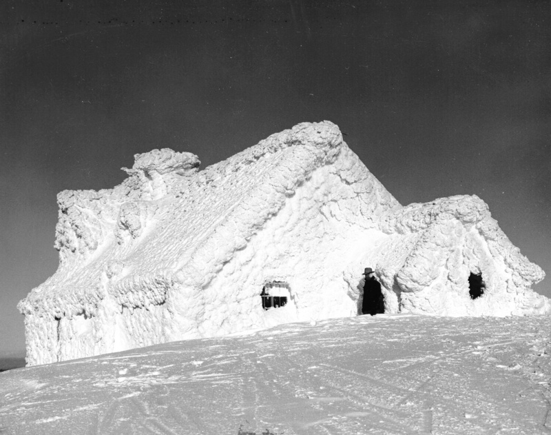
Lookout Type: Stone vista house
Site Established: 1920s
Current Structure Built: 1933
Date Visited: 9/08/18
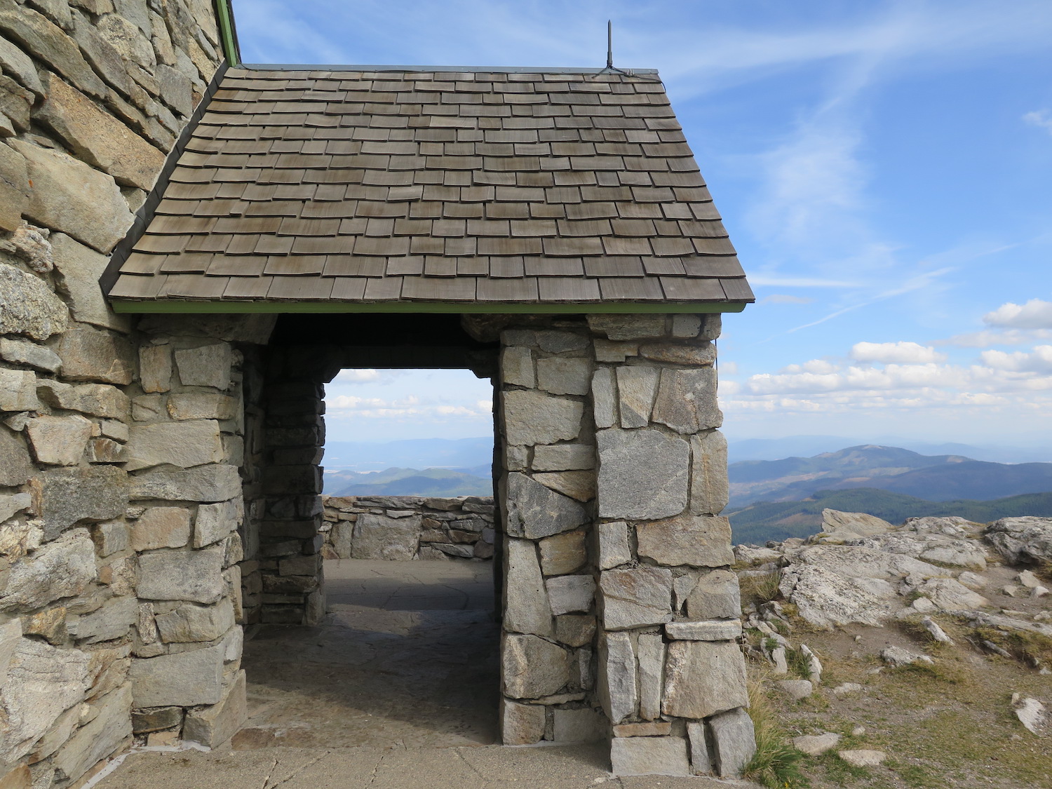
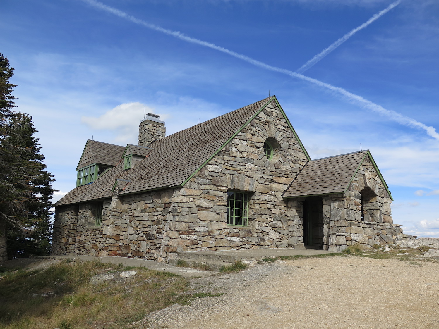
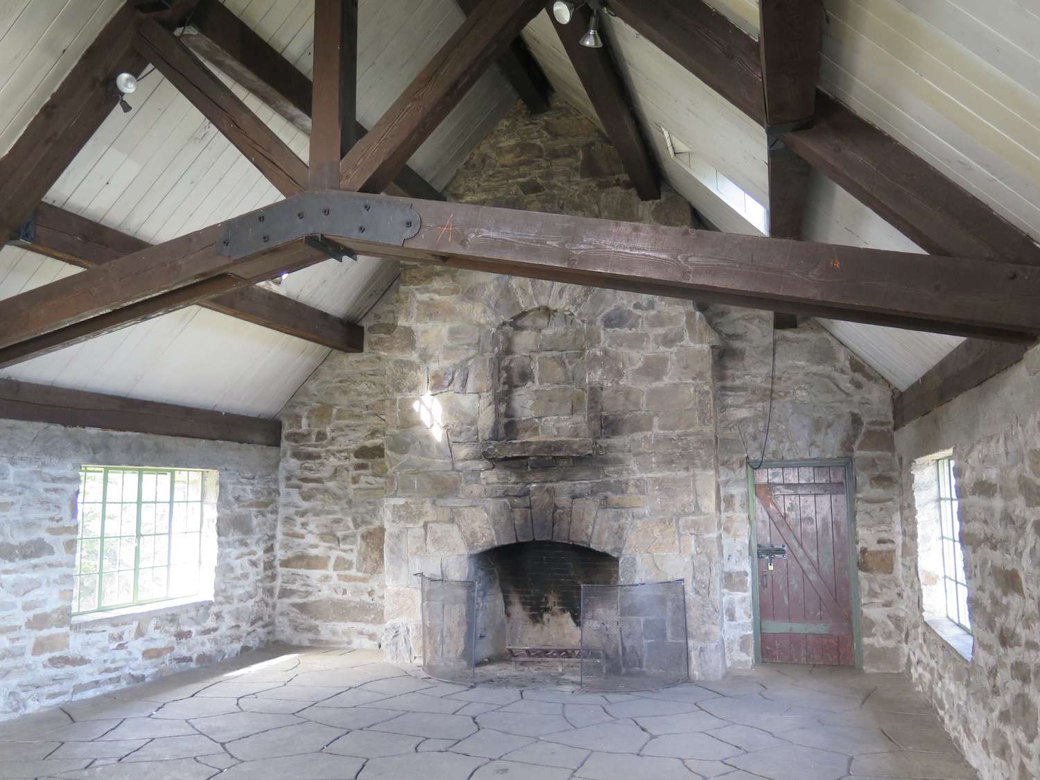
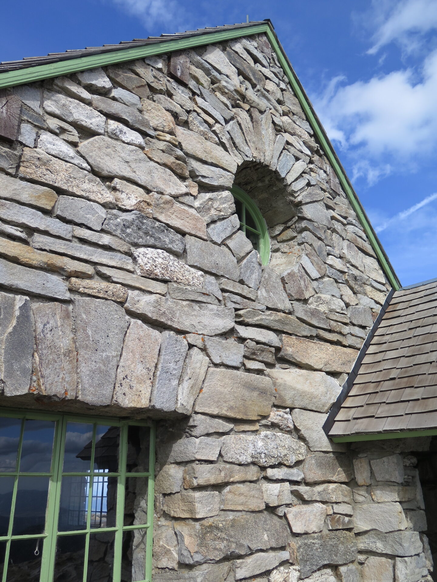
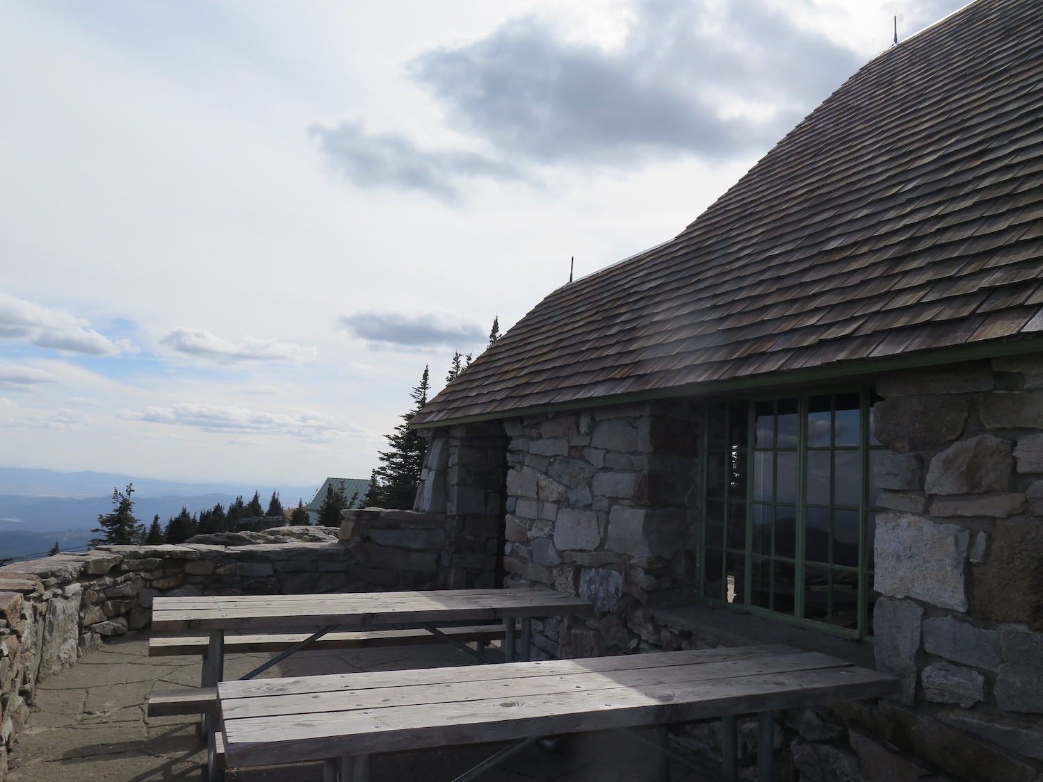
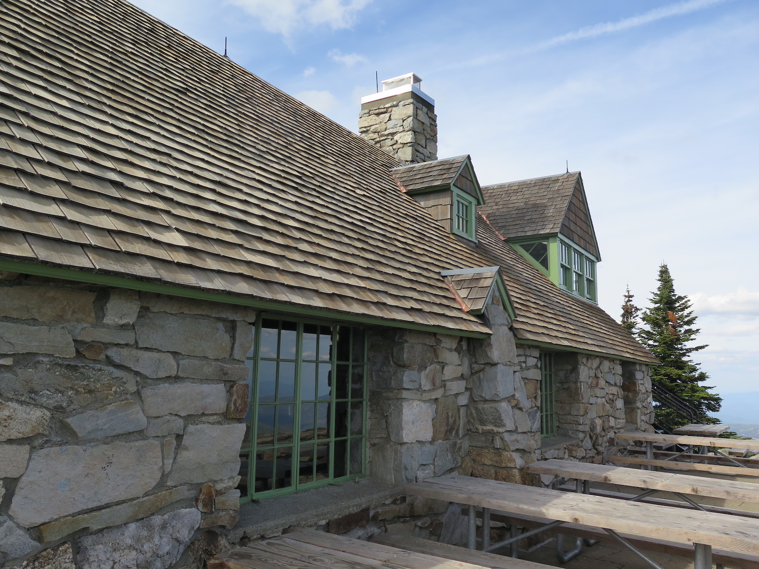
The Vista House, built in 1933 from shattered granite found on the summit, is the most widely recognized historic building at Mount Spokane, the highest point in Spokane County. Mount Spokane is also the 33rd most prominent summit in Washington State inside the largest State Park in the State which encompasses almost 14,000 acres.

Photos from 2018.
History.
Plans were first made to construct a lookout tower on the summit of Mount Spokane in the early 1920s. The first of five lookout structures, the Vista House designed by architect H. C. Bertelsen, was approved in July 1933 by the State Parks Committee and finished at the end of the year using native stone found on the summit. Some sources say it was constructed by the Civilian Conservation Corps; however, according to the State of Washington’s Cultural Resources Management Plan (2009), a local contractor, E.O. Fieldstad, won the contract with a “low bid of $4,693.” The publication states: “Its existence near the site of the Mount Spokane CCC camp may have contributed to the present impression held by many that the Vista House was constructed by the CCC.”
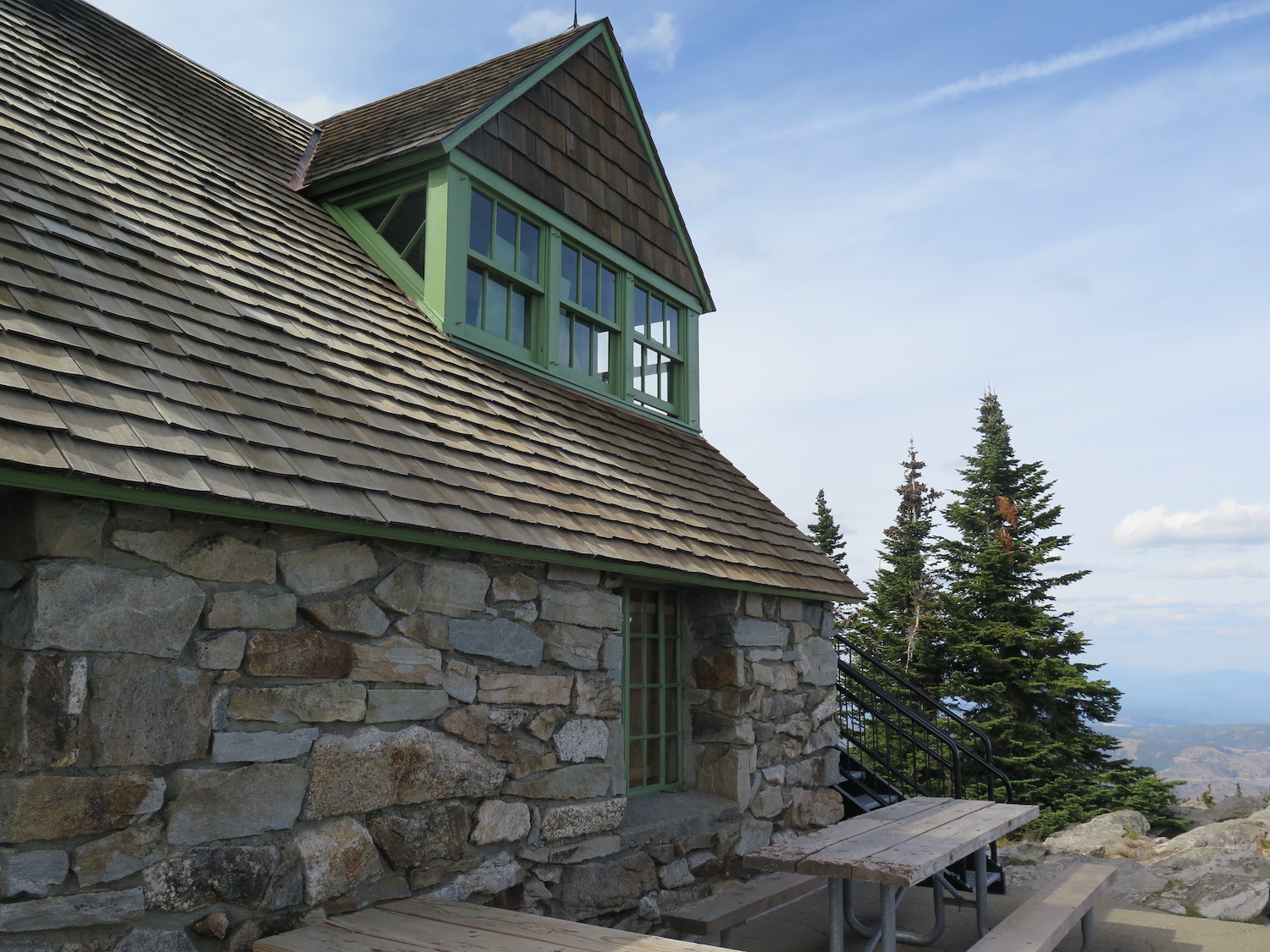
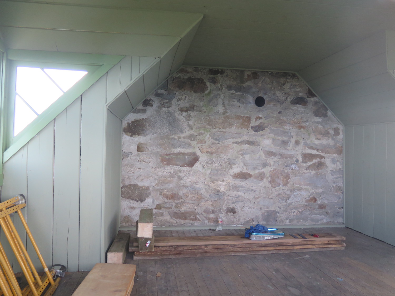
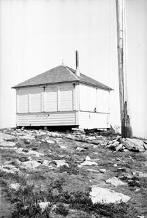
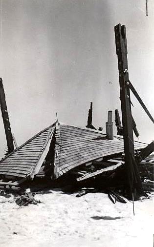
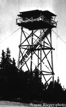
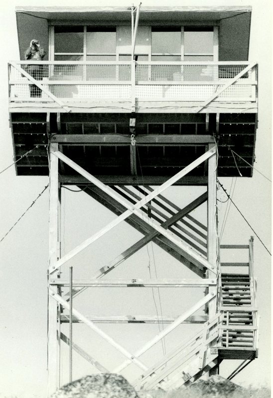
The two-story stone vista house featured a second story dormer on the north side that was used as a fire lookout. In 1948 an 83’ tower with 14′ x 14′ cab was constructed on the summit but it collapsed a year later after being overloaded with ice and subjected to 70+mph wind gusts during a storm on February 15, 1949. A shorter 45’ tower was built in 1950, then later replaced in 1963 with a 40′ DNR tower. The fifth lookout on the summit, another 40′ DNR tower, was built in 1979 and stayed in service until 1994. It was dismantled in 2001 and moved to Quartz Mountain in 2004, where it still stands today and is available for overnight rental.
During its 60 years of service, the Mount Spokane lookout held the record for more reported wildfires than any of the other fire lookouts in Washington. Structures on the summit also endured the worst icing conditions of any fire lookouts in the state.
The route.
Distance (RT): 0.5 miles*
*It is possible to drive very near the summit except in spring when snow may remain on the road.
Directions.
From Spokane, drive north on Highway 2 to Highway 206 and follow signs 15 miles to the Mount Spokane State Park entrance.