North Cascades | Hozomeen Range
Okanogan-Wenatchee National Forest | Pasayten Wilderness
Location: 49.000296, -120.645382
Summit Elevation: 6,520′
Lookout Type: log cabin and 30′ L-4 tower
Site Established: 1920s
Current Structure(s) Built: log cabin 1930/L-4 tower 1952
Date Visited: 06/01/19
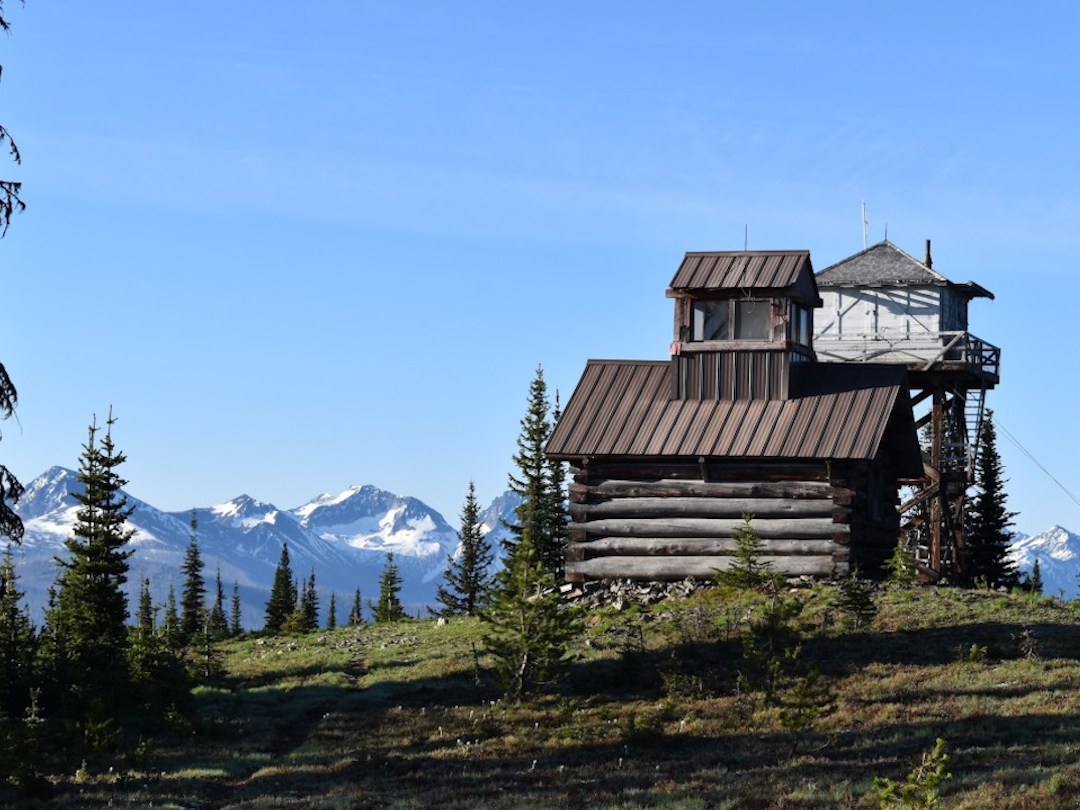
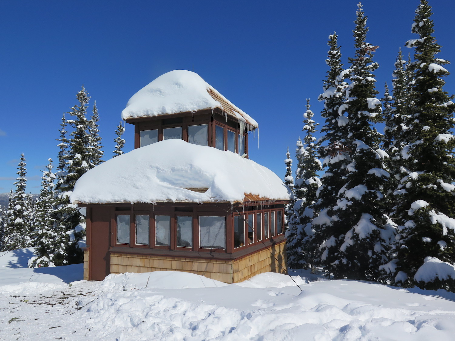
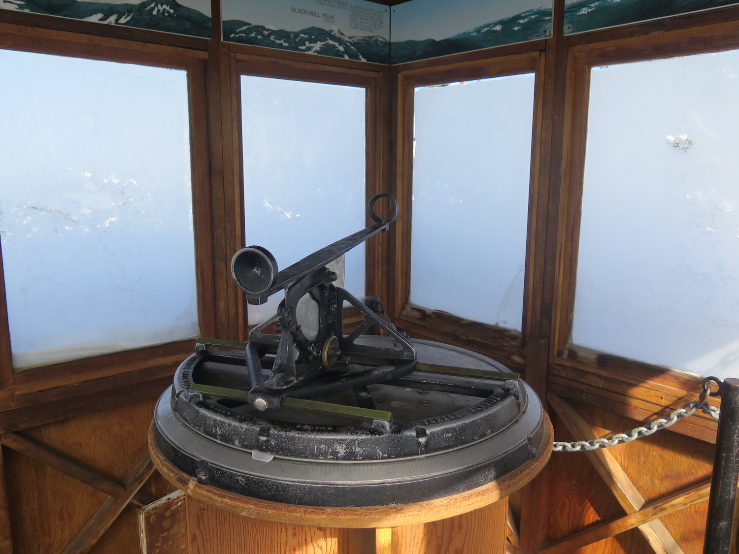
Monument 83, aka Holdover Peak, is the northernmost fire lookout in the United States. It’s also one of two twin lookout sites, though the 1930s log cabin cupola is on Canadian soil while the 1952 L-4 tower stands on the US side.
Photos from 2019.
History.
Monument 83, also known as Holdover Peak, is located on the US-Canadian border and was first established in the 1920s as a camp with tree platform. In 1930, a log cabin cupola was constructed and celebrated as the northernmost lookout in the United States until surveys later determined it to be on Canadian soil. The cupola is now British Columbia’s southernmost lookout. In 1953 the United States built a 30′ treated timber L-4 tower on the US side of the border, reinstating Monument 83 as the northernmost lookout in both Washington State and the US. The lookouts were last used in the 1970s and both structures remain intact.
The name “Monument 83” is important for positioning the site along its place on the border, which is 83 miles from mile zero at Peace Arch Park in Surrey B.C.. From the summit it’s possible to see the United States-Canada Border Slash, a 20-foot-wide clearcut running the length of the border. Check out Atlas Obscura for some interesting trivia and tidbits about the Border Slash.
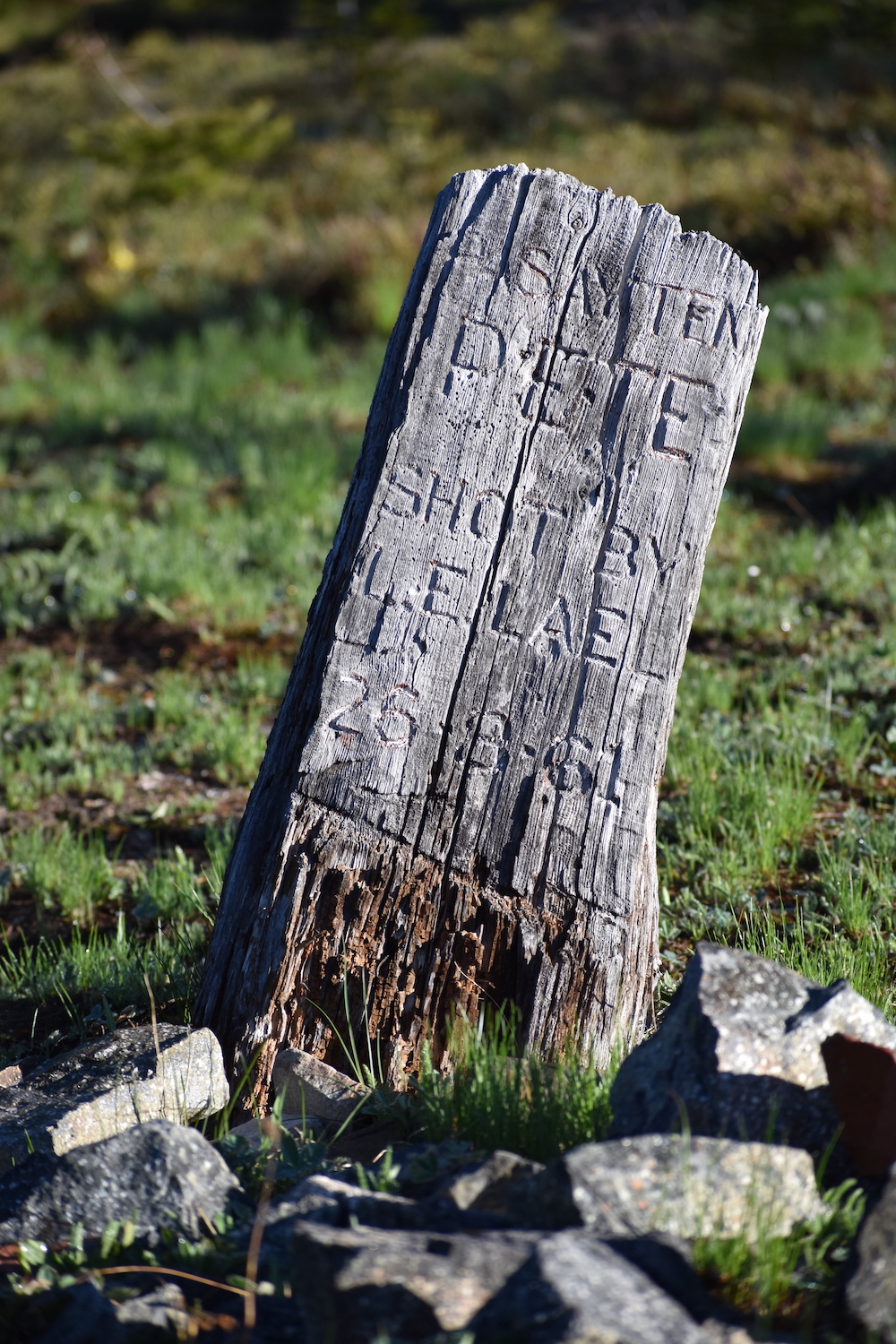
Another bonus on Monument 83 is a carved wooden gravestone bearing the inscription: “Pasayten Pete, shot by L.E. Lael, 26-8-61”. It’s been said that Pasayten Pete was a beloved pack mule.
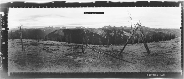
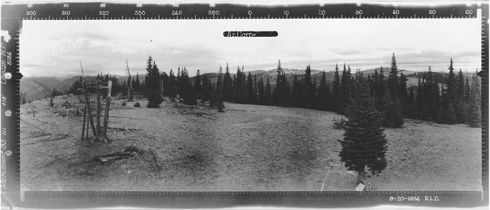
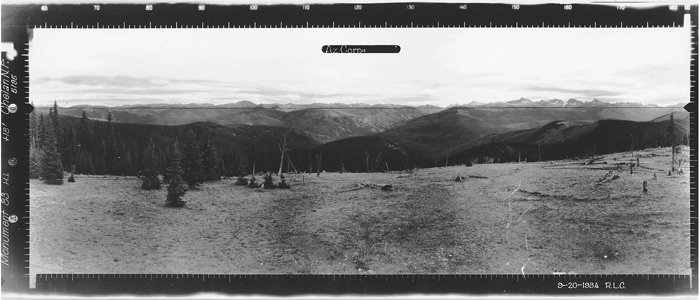
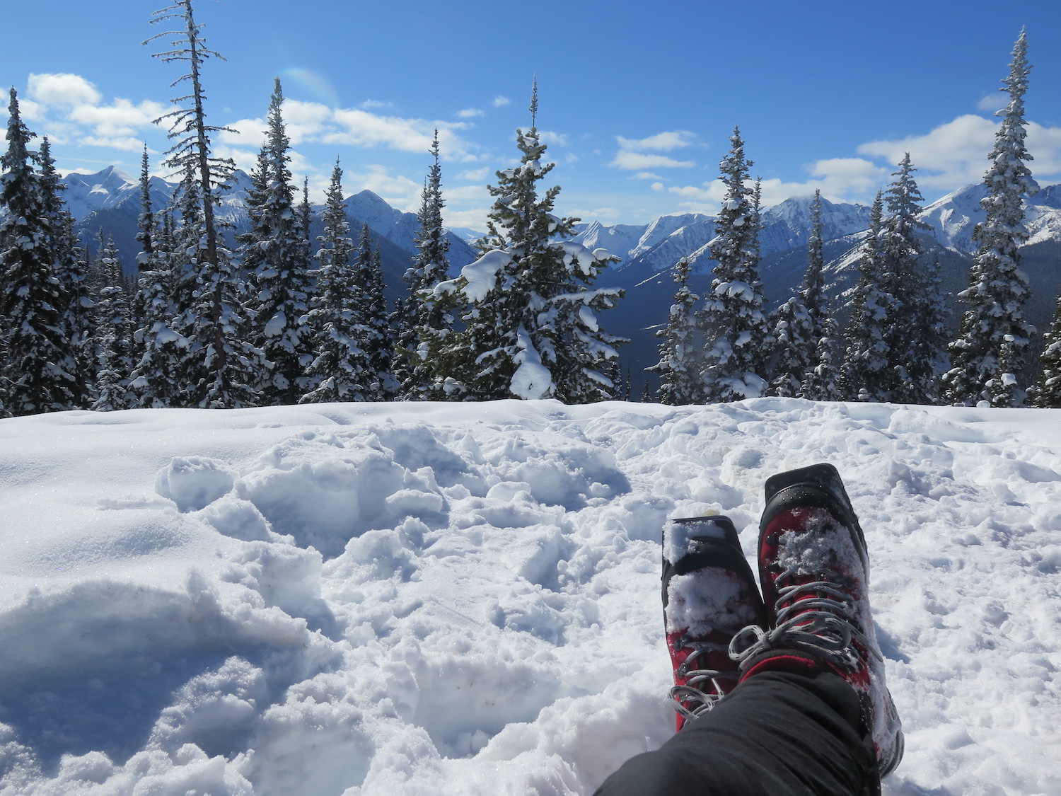
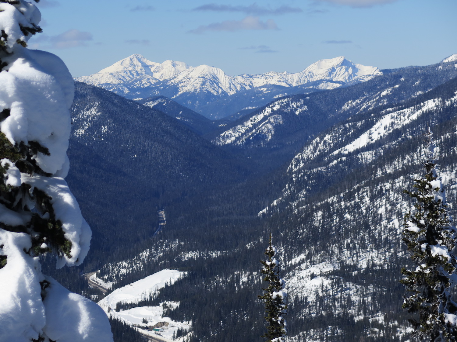
The views.
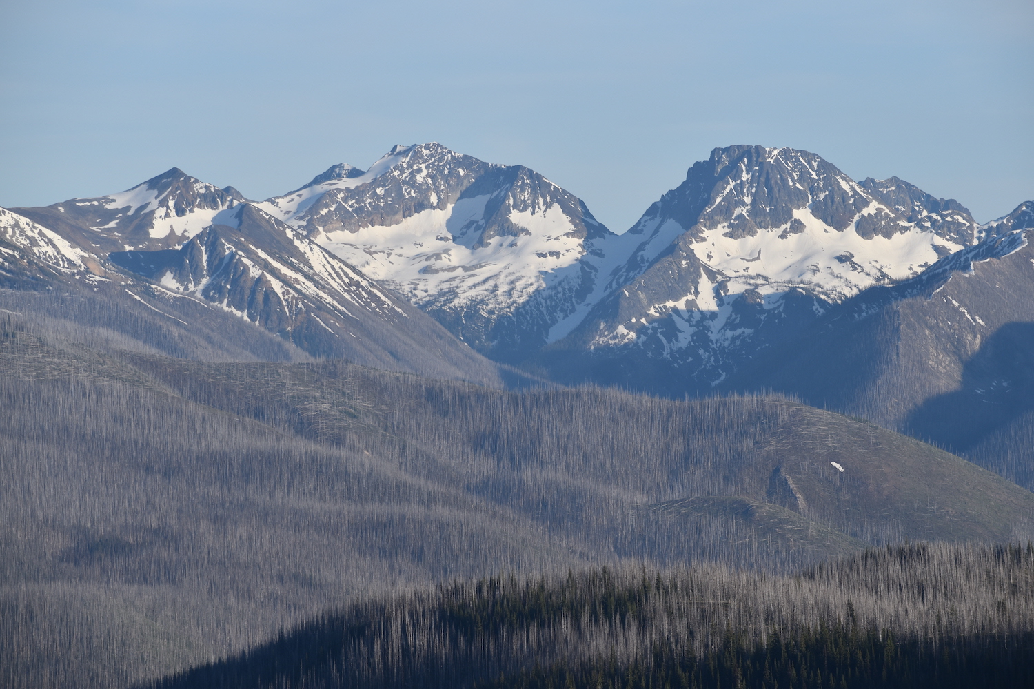
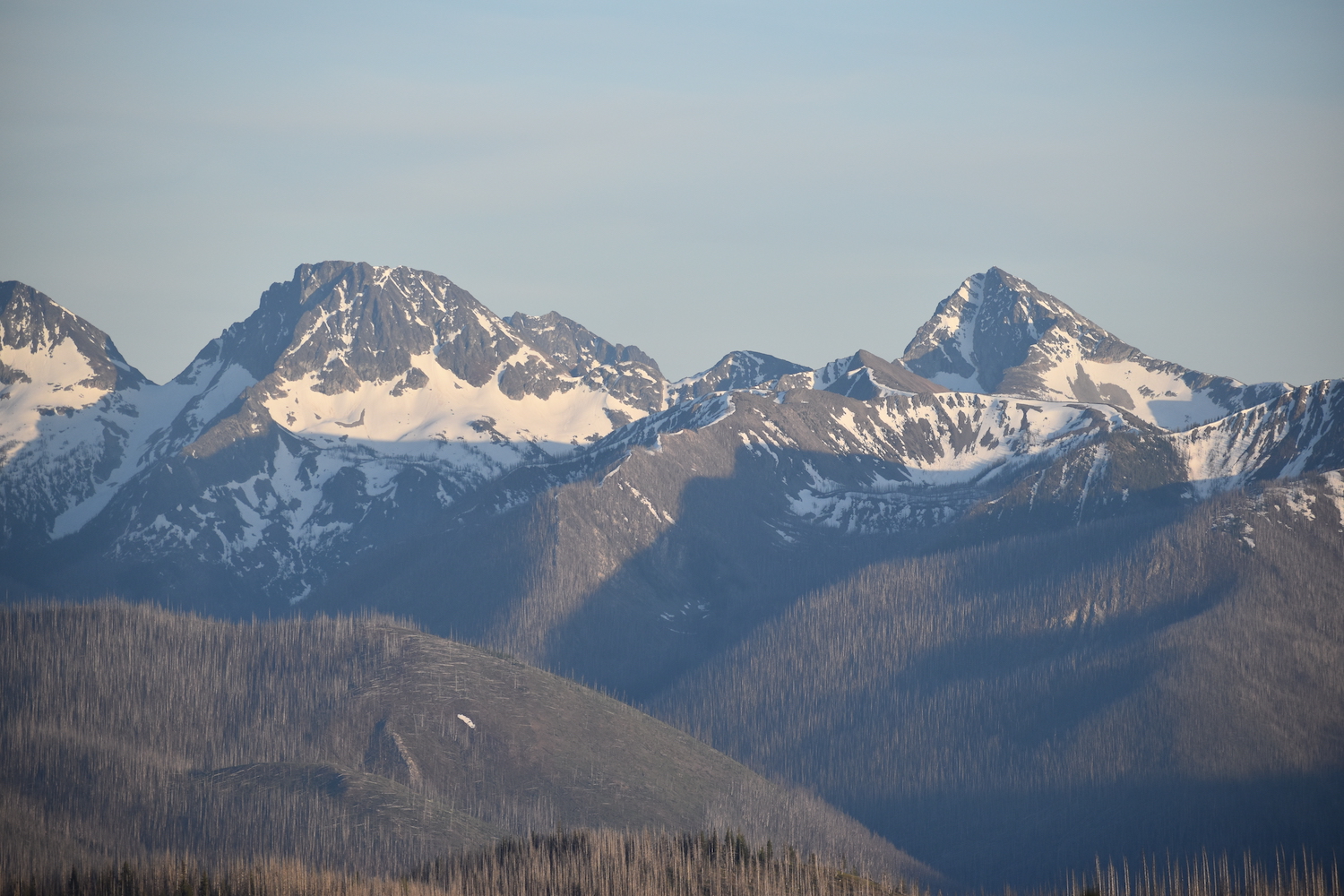
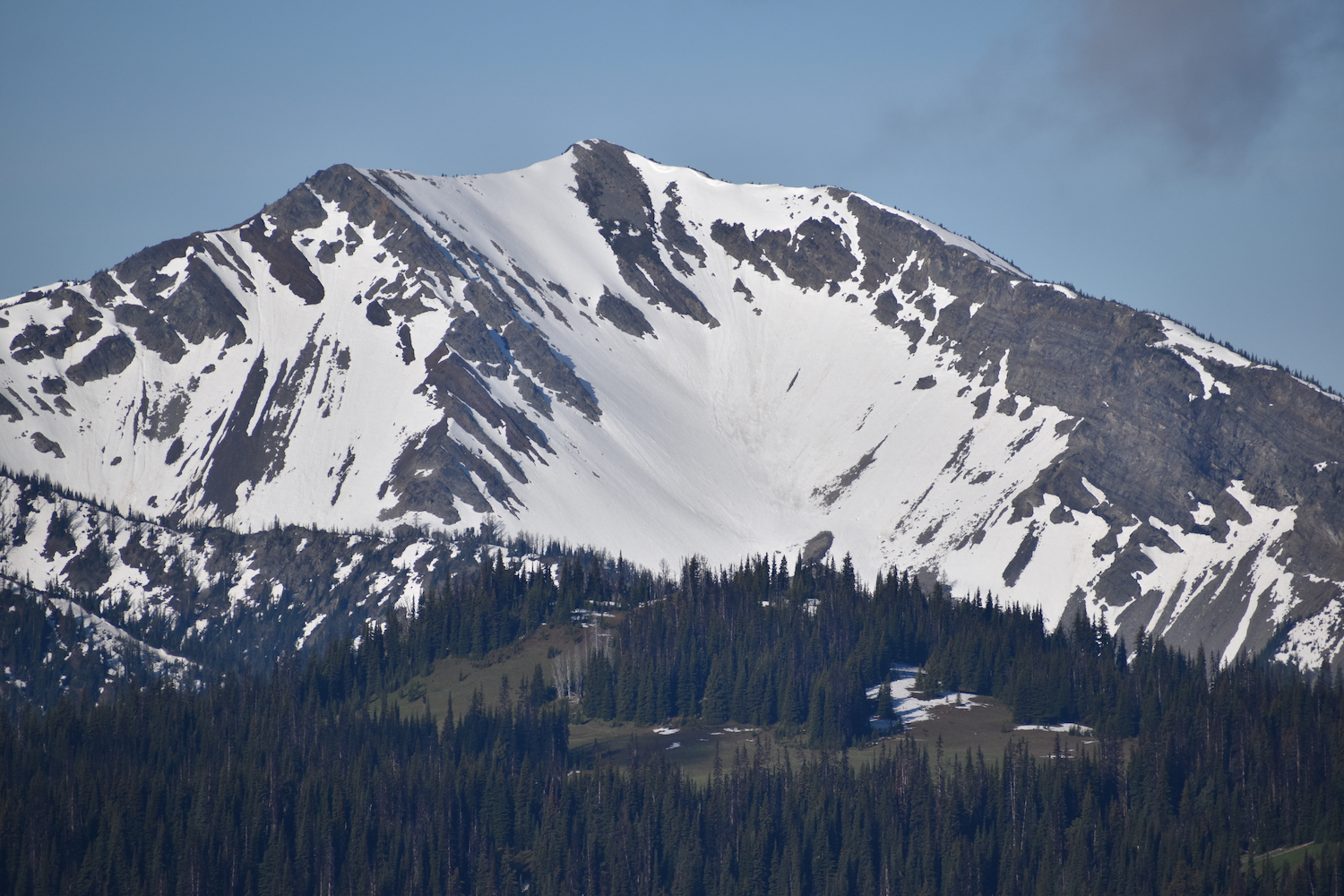
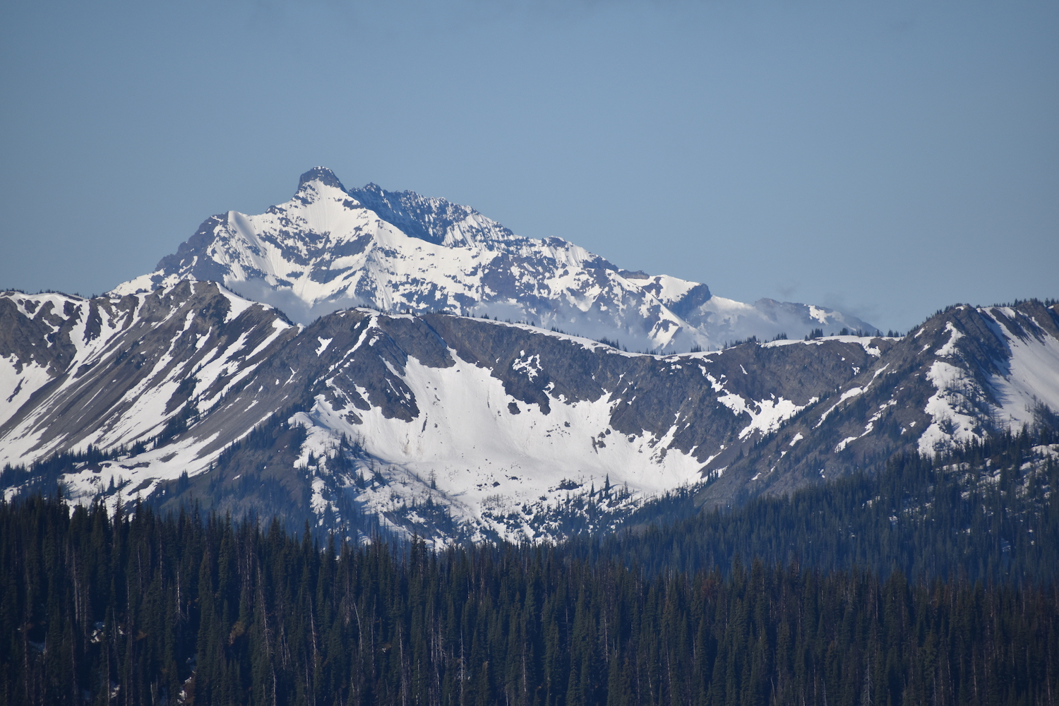
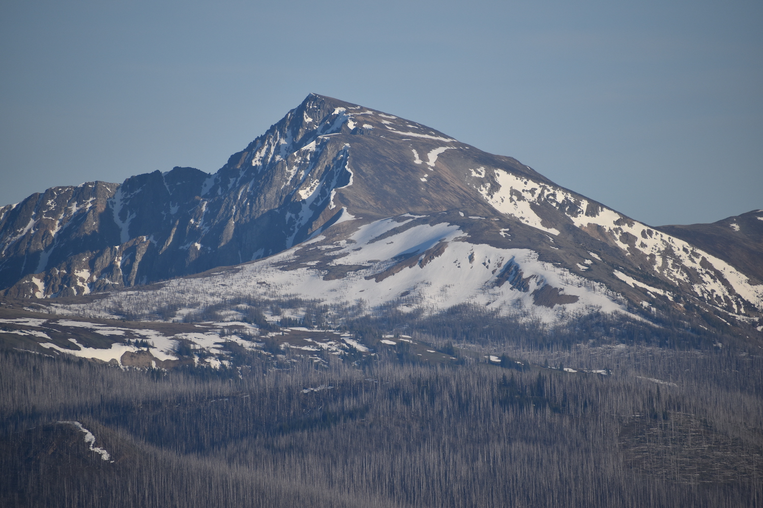
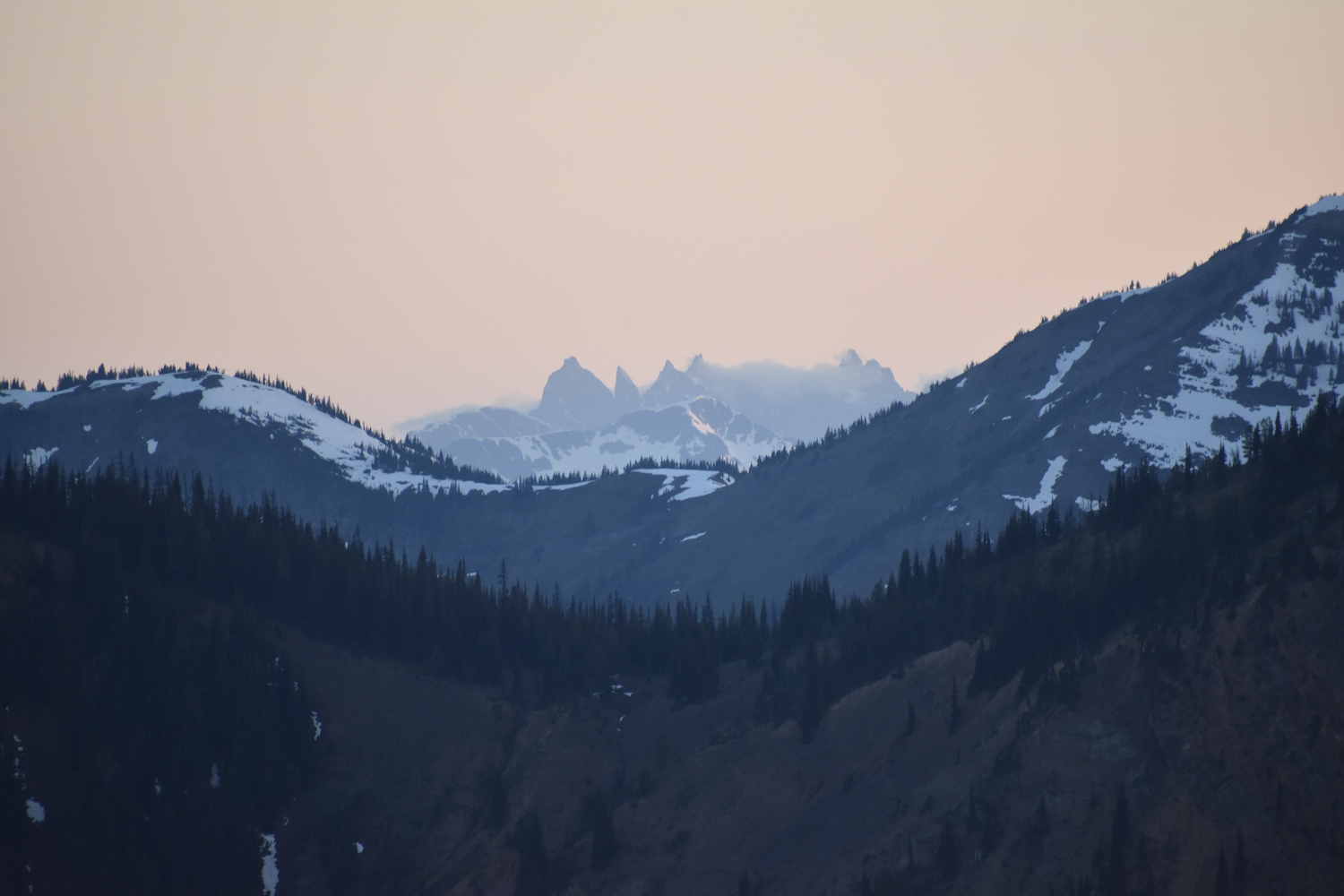
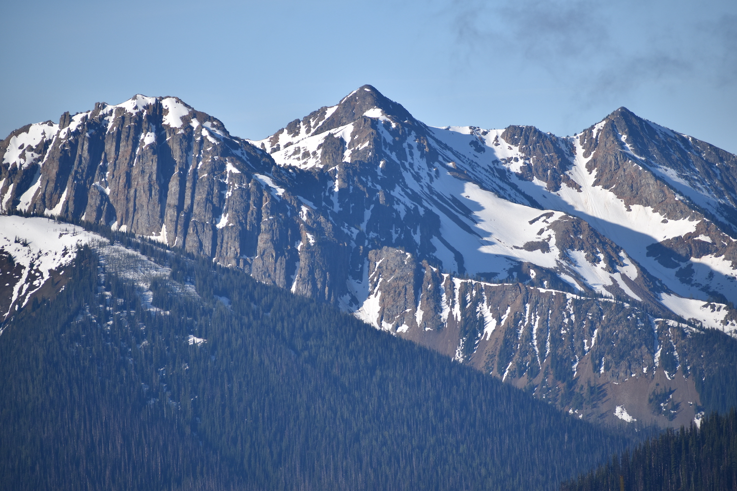
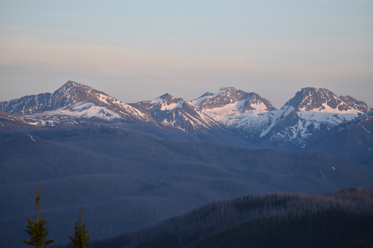
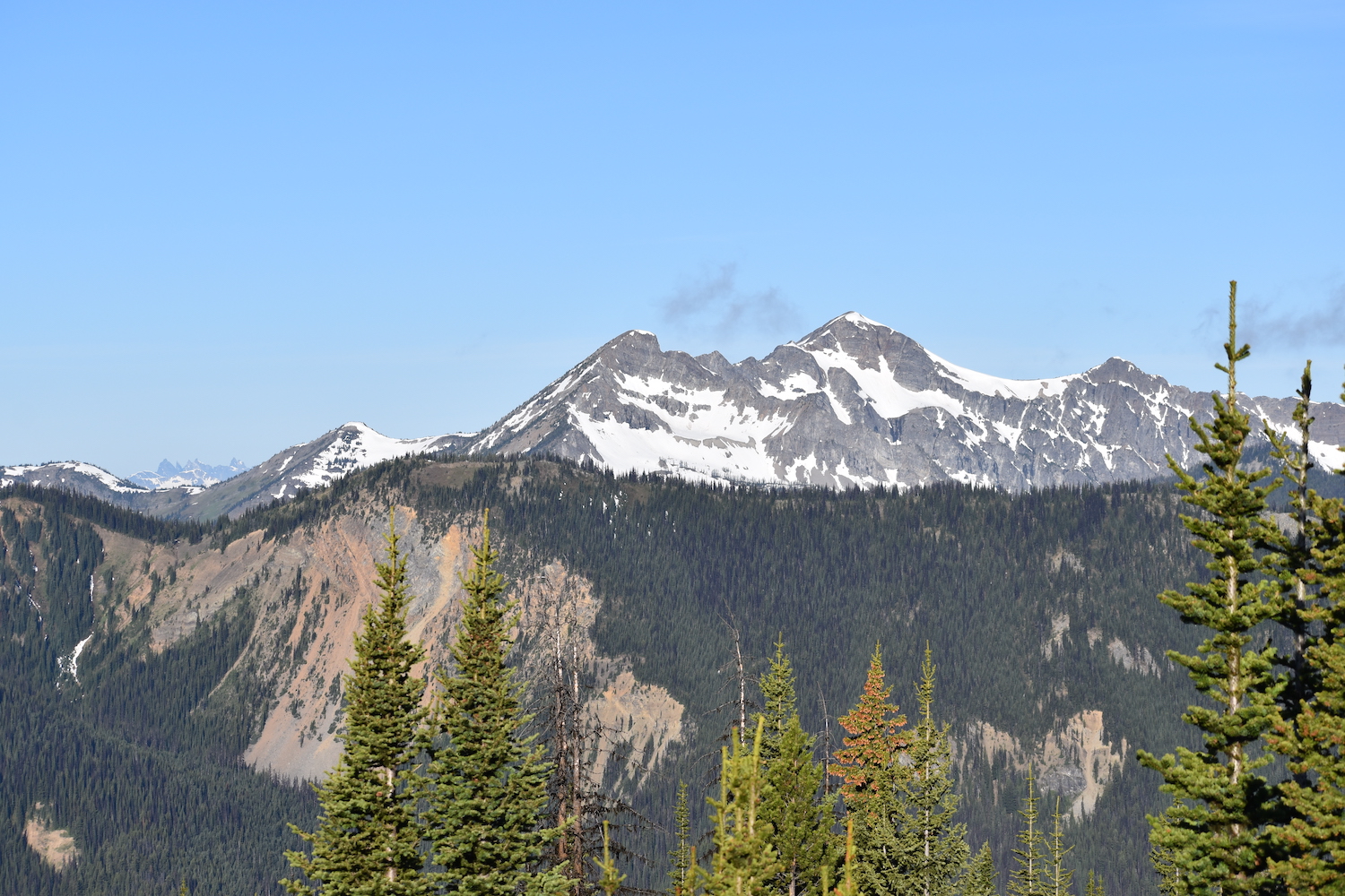
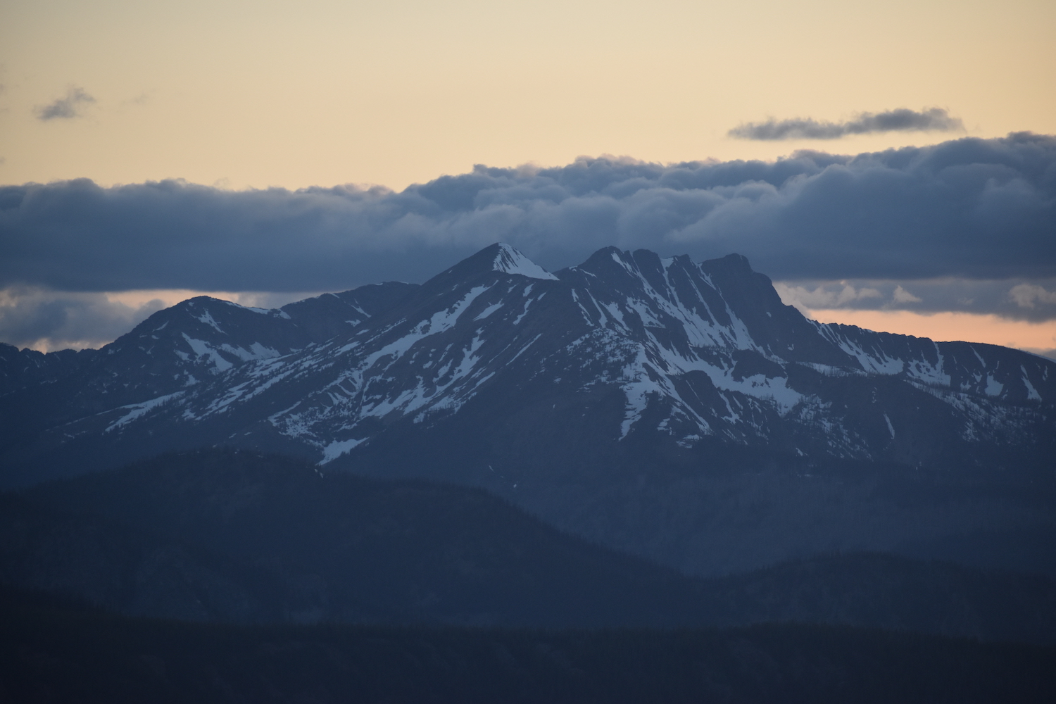

Third time is a charm.
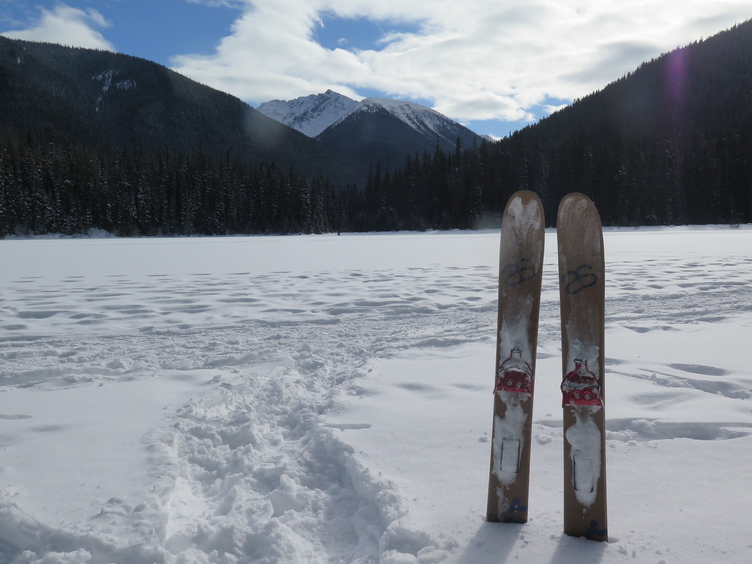
Monument 83 is one of a handful of fire lookouts that took me multiple attempts to reach but thanks to a few unexpected failures, it ended up being my 83rd lookout, a bit of serendipitous fate! Monument 83 can be a fantastic ski touring destination in winter if the trail is clear of fallen trees. In March 2019 I packed my cross country touring skis and headed out to attempt it. Unfortunately, I picked a weekend where temps dipped below 0°F so I wisely turned around and instead enjoyed a much shorter cross country ski tour to nearby Windy Joe fire lookout, then skied around Lightning Lake inside EC Manning. I still have a half written blog post on this trip I need to finish. It was a fun adventure!
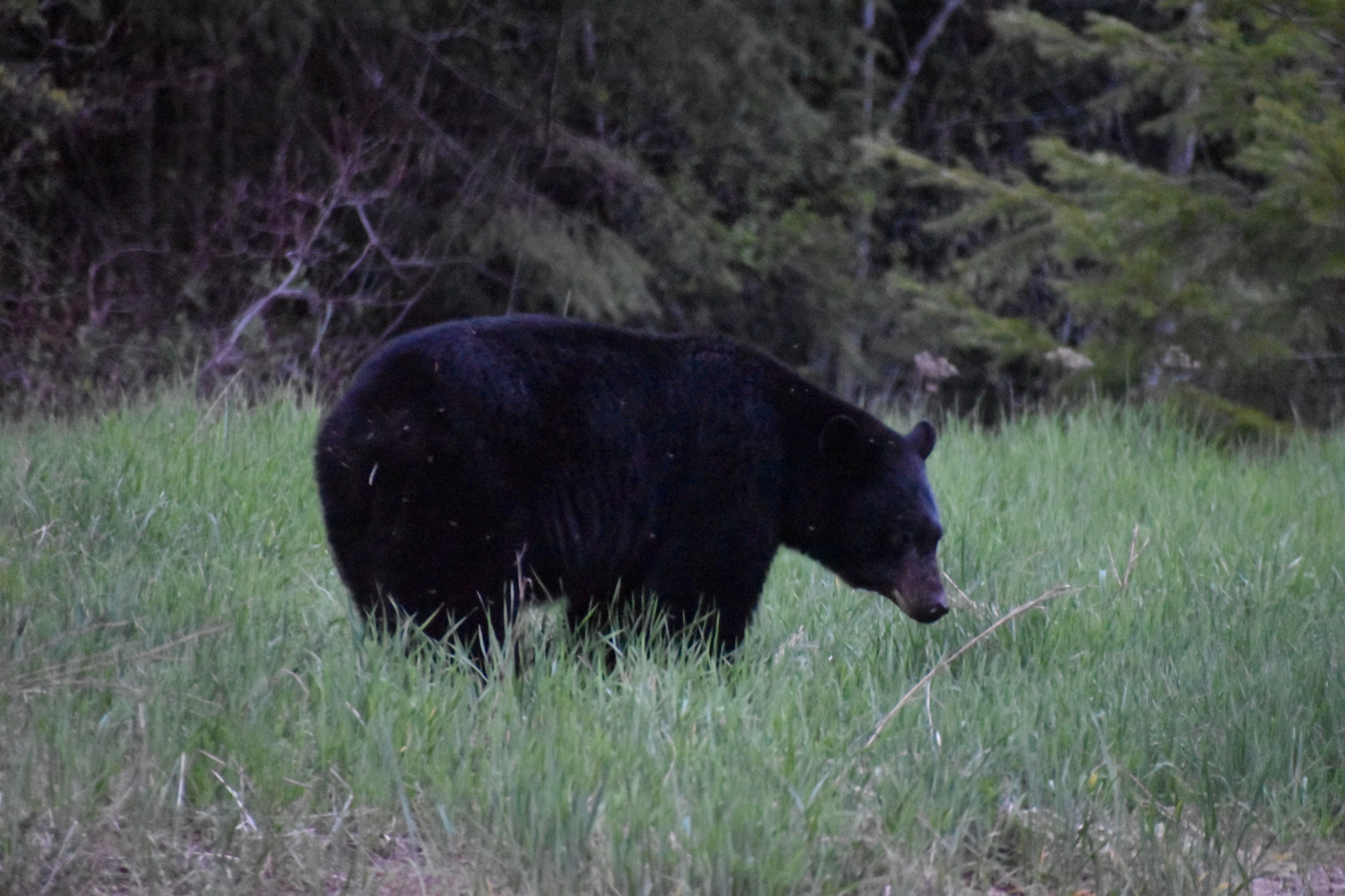
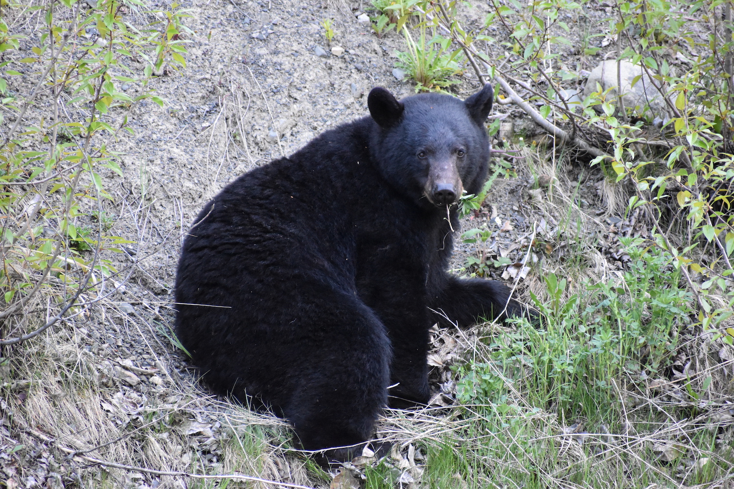
My second attempt on Monument 83 I was stopped by high flood waters but I did see numerous bears inside EC Manning and got one of the best photos I’ve ever taken of a black bear (see right). I finally succeeded in reaching the summit in 2019 after hurdling well over 200 downed trees. I spent the night camped on the catwalk of the L-4 lookout on a new moon night and to this day, I’m not sure I’ve ever seen a darker sky and brighter stars than that evening! Sleeping on such a remote mountaintop under that kind of darkness, with the Pasayten Wilderness stretching all around made Monument 83 one of my favorite fire lookout outings. In fact, with so much wilderness in all directions, I certainly consider Monument 83 to be one of the most remote fire lookouts in Washington. I can’t wait to return!
The route.
Distance (RT): 20 miles*
Elevation Gain: 3,400′
*Mileage from EC Manning Provincial Park in Canada, the only currently reasonable route to Monument 83.
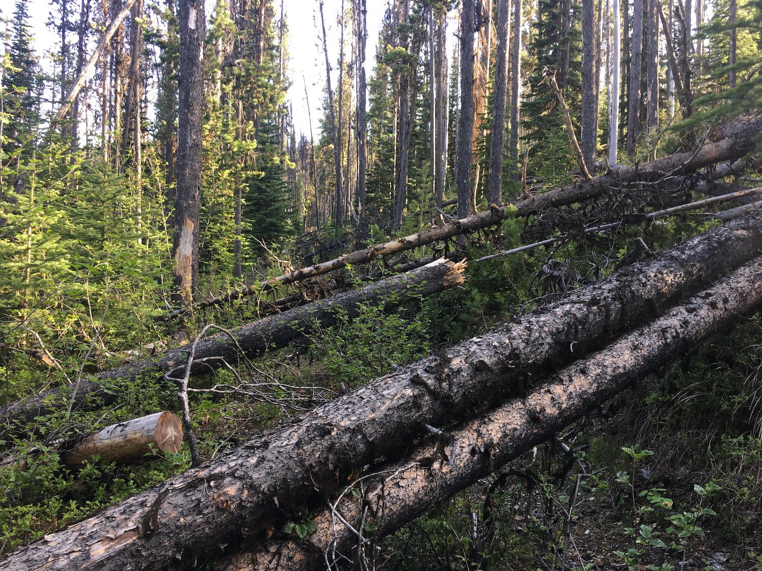
While it’s possible to reach Monument 83 from the US side hiking through the Pasayten, the route has is virtually impassable due to heavy blowdown and years of neglect. The more commonly used approach to Monument 83 is from EC Manning Provincial Park in British Columbia along the Monument 83 trail, though that route also has high deadfall due to beetle damaged trees.
The trail begins on a wide old road bed traveling to the east then bending south to cross a bridge across the Similkameen River. The trail then bends back to the west, crossing another bridge across the Chuchuwanteen Creek. In just under a mile reach an intersection for Monument 78 and 83 and head left towards 83. From here the road/trail climbs all the way to the summit.
The route is accessible year-round depending on conditions of course and makes a fantastic ski tour if trees have been cleared.
Directions.
From Hope, British Columbia, drive Highway 3 east approximately 67 km (40 miles) to Manning Park, then continue east 3.8 km (2ish miles) to the well signed Monument 83 trailhead.
