Puget Lowlands | Kitsap Peninsula
Location: 47.54384, -122.748308
Summit Elevation: 1,360′
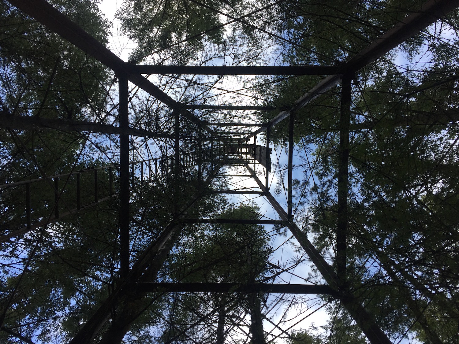
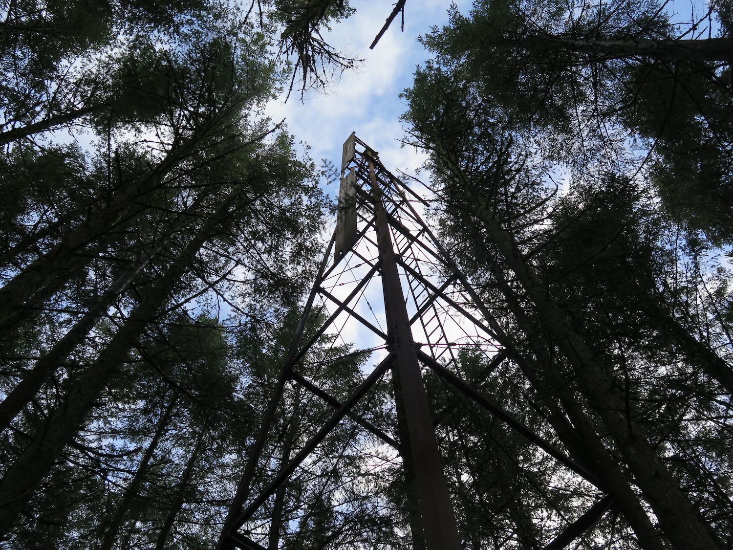
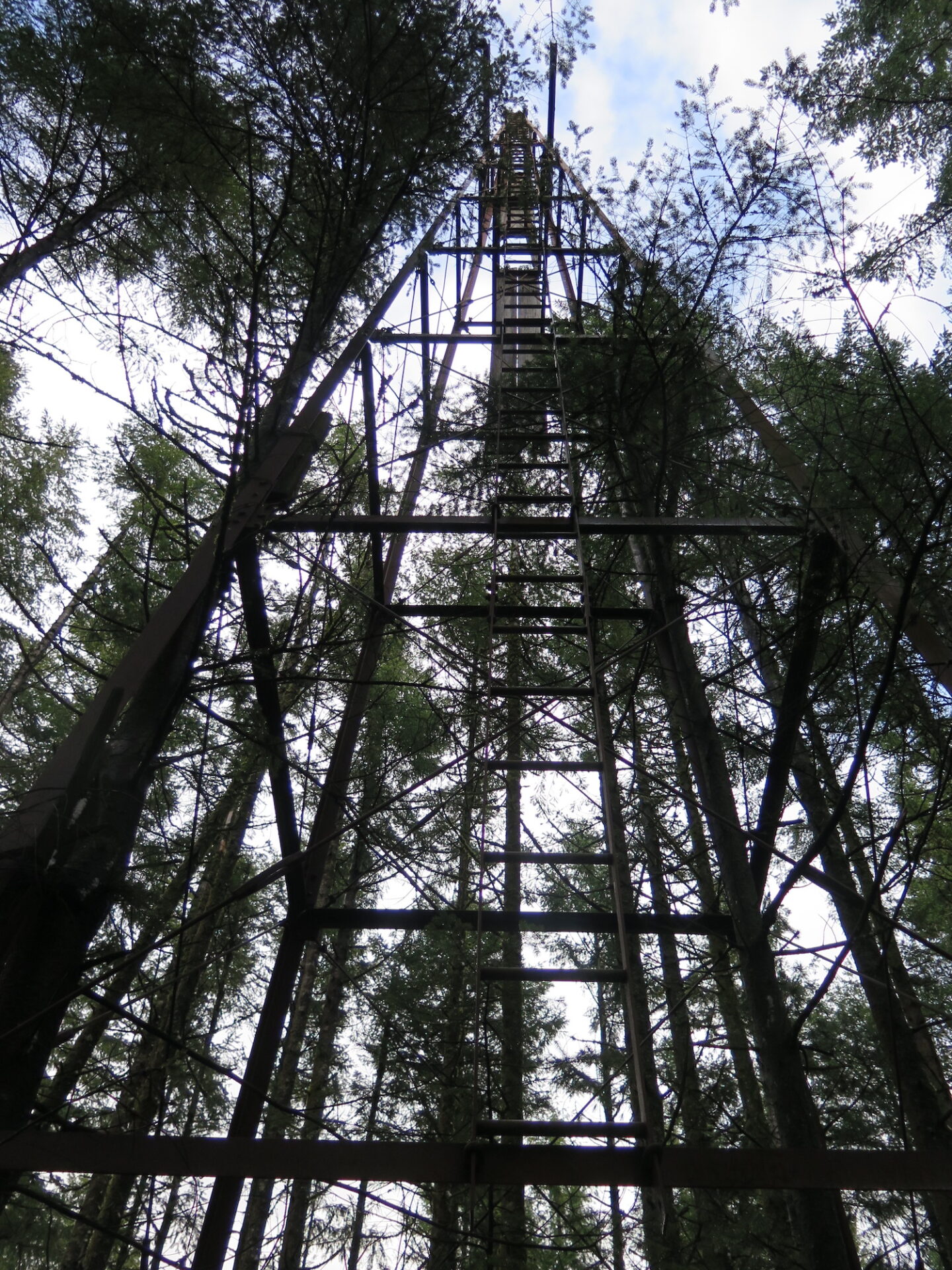
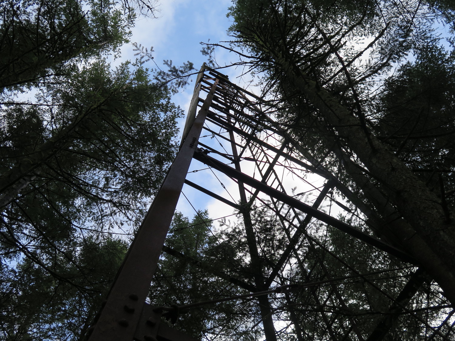
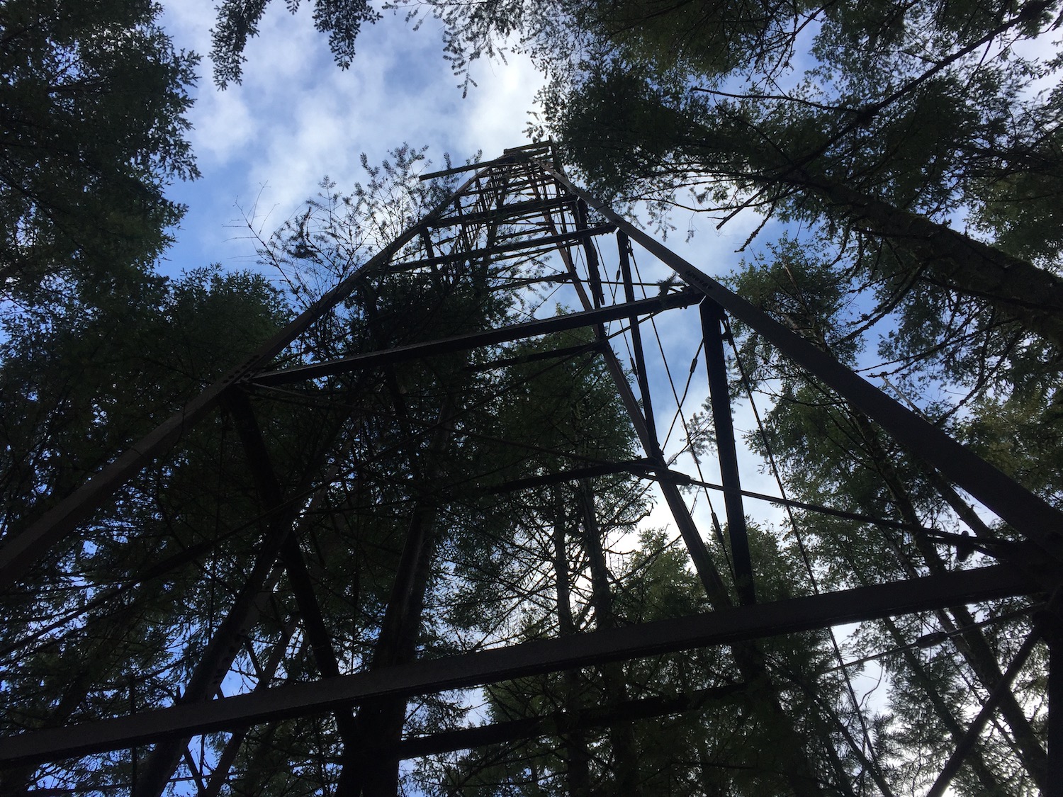
Lookout Type: 60′ steel tower
Site Established: 1940s
Current Structure Built: 1940s
Date Visited: 2/24/18
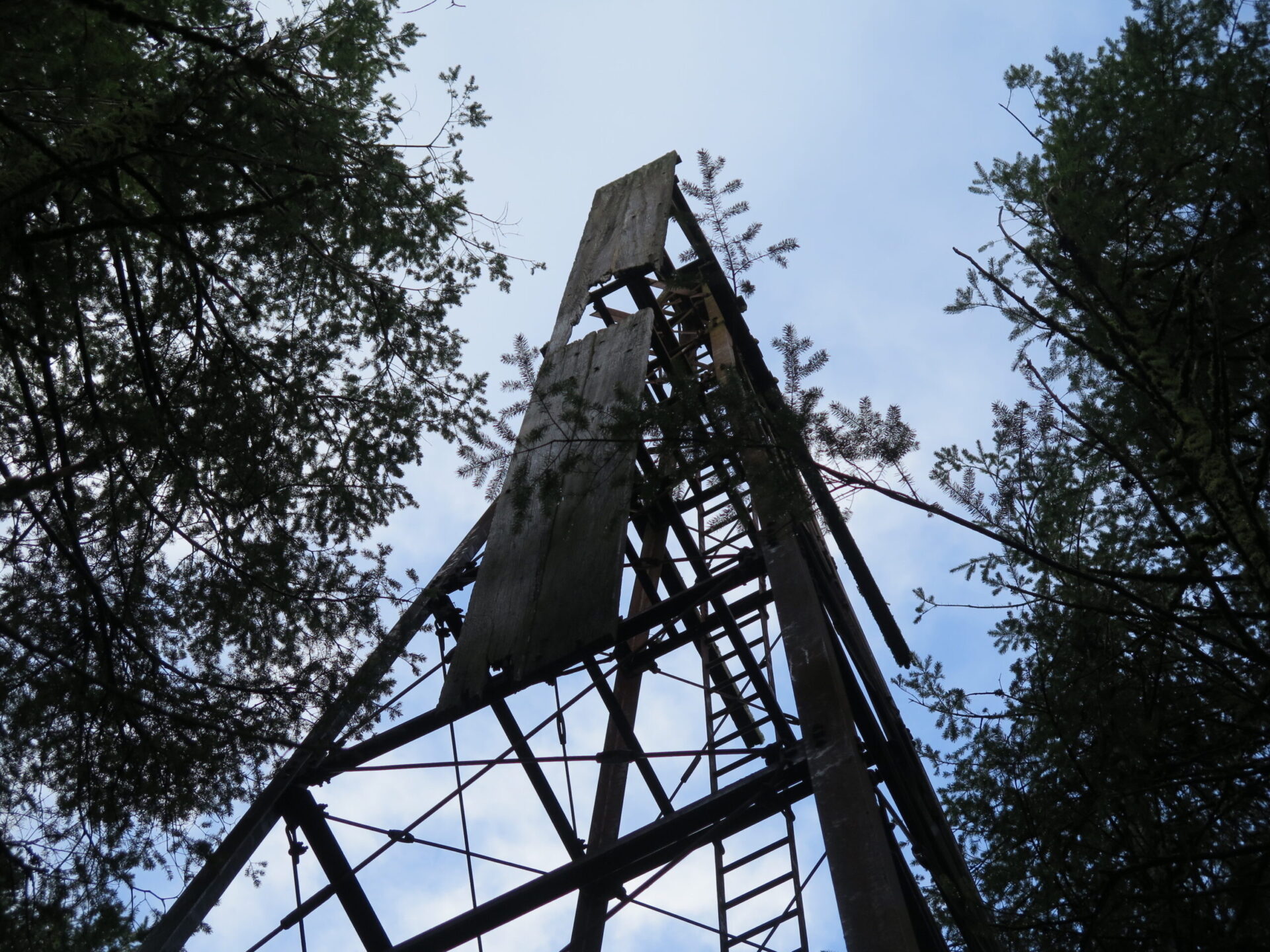
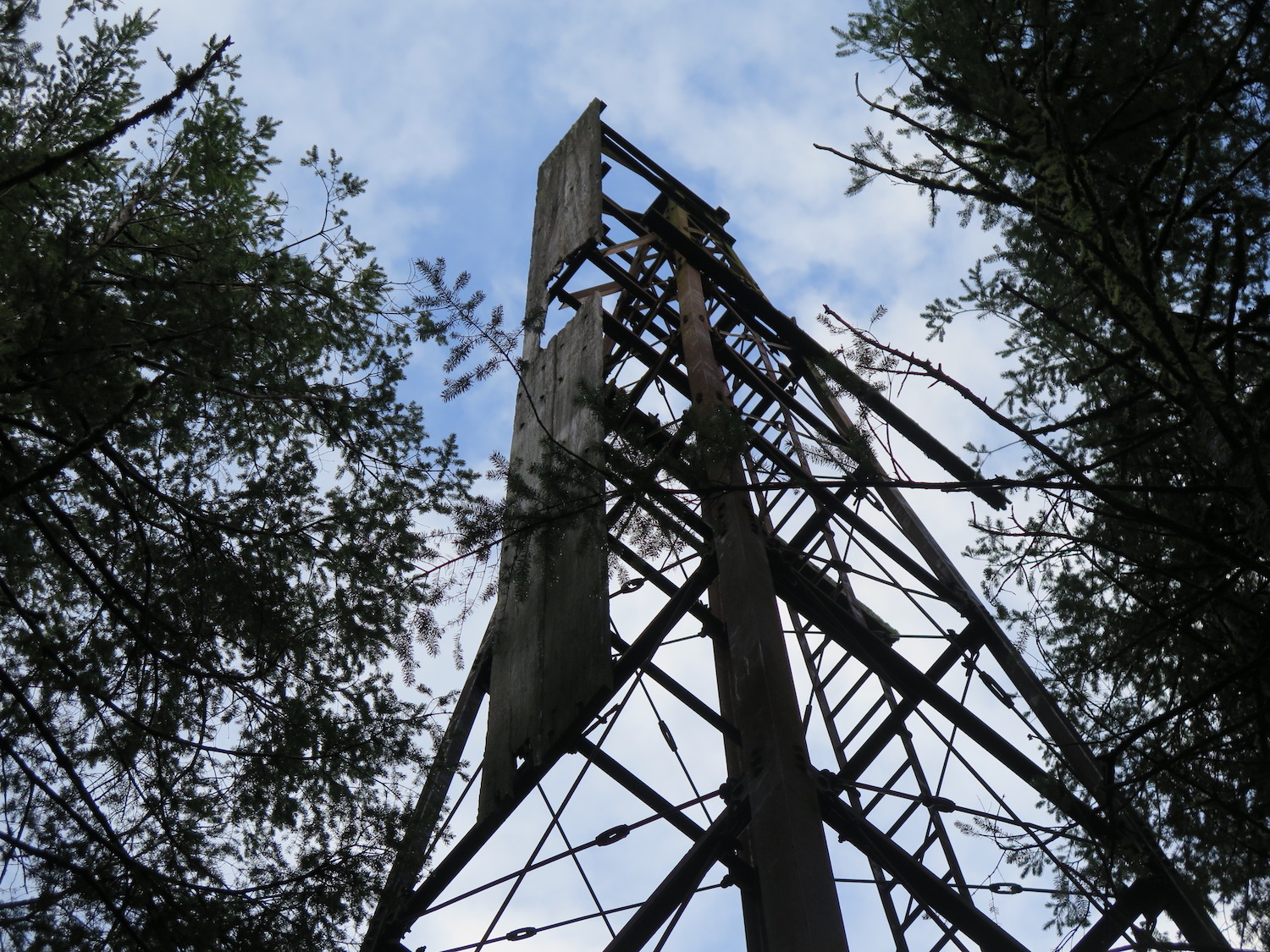
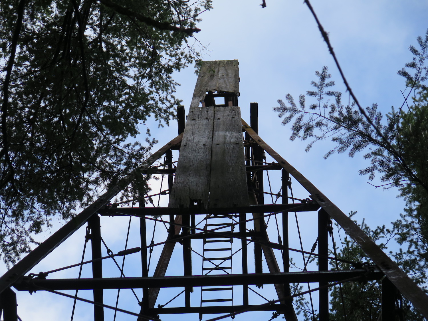
So here’s a “lookout” that many debate is a lookout. Some say it was used strictly for naval purposes, others have found research that does indicate it was used as a fire lookout in the 1940s. Is it a lookout? Maybe, maybe not, but it’s still a darn cool structure to visit!

History.
This tower was built by the Navy sometime in the 1940s and thought to be abandoned until it was found standing sometime in the early 2000s. Eric Willhite has the most information on this lookout, saying the two planks near the top were used to align 16 inch naval guns on battleships in dry dock at the Puget Sound Navy Yard in Bremerton. Eric’s page also has more details about Charles R. Siegel, Jr., who was a fire lookout assigned to Kitsap in 1943.
My visit.
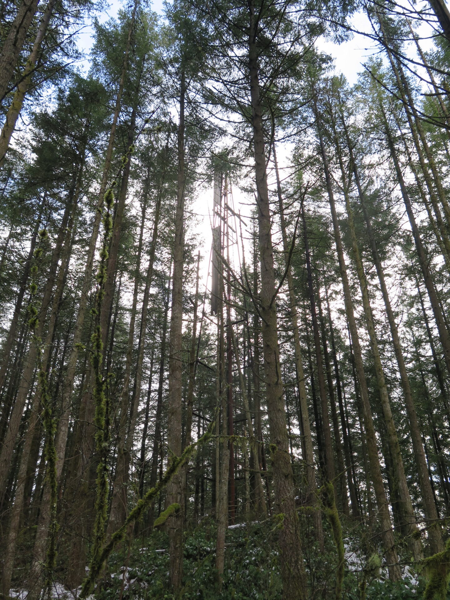
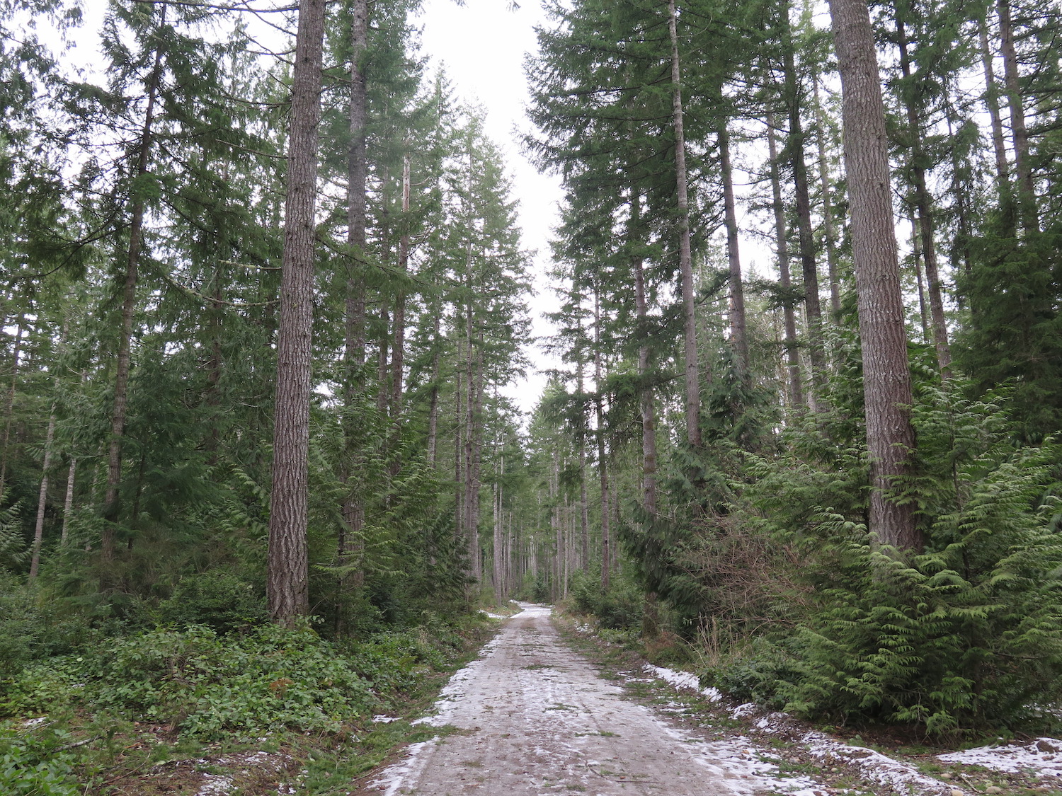
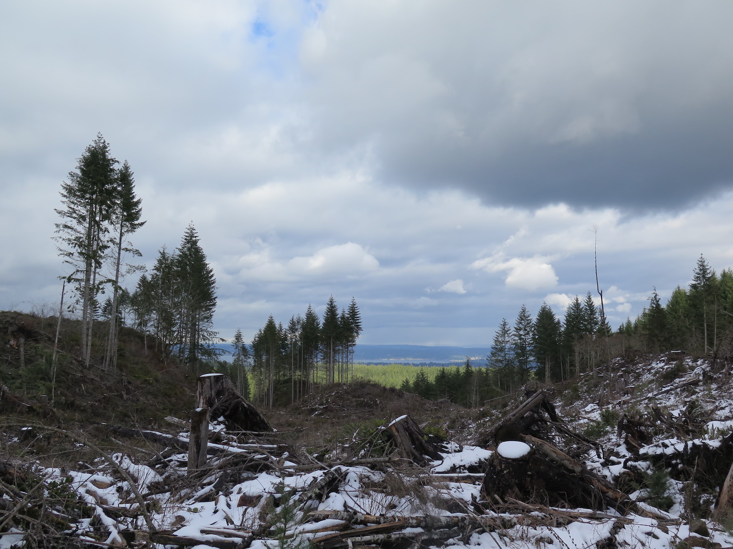
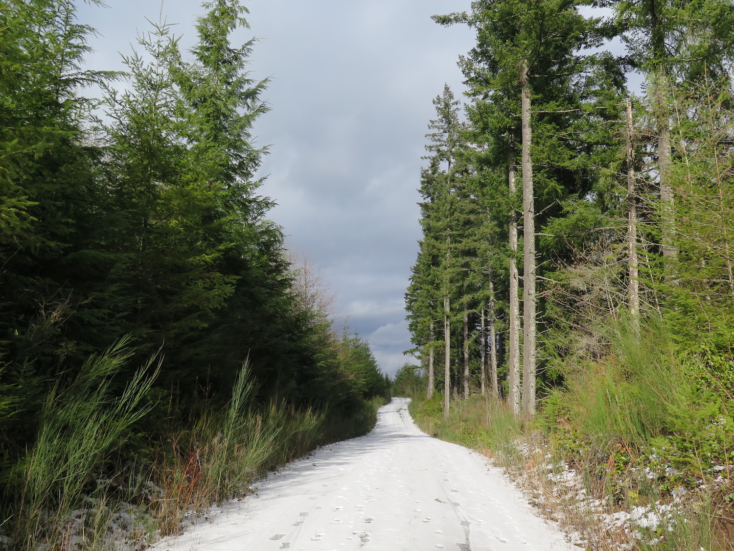
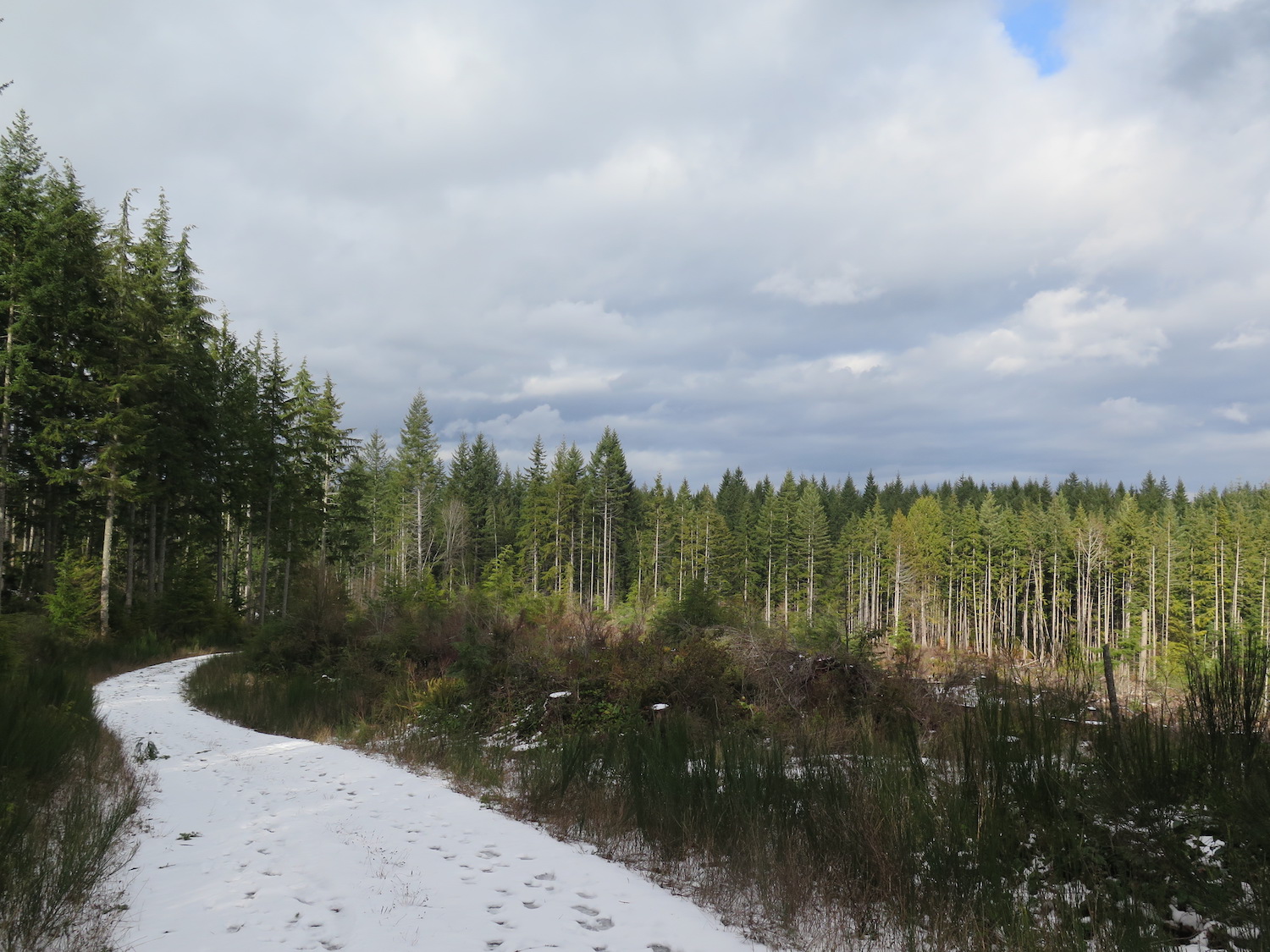
I visited the Kitsap lookout in the spring of 2017 when there was still a dusting of snow on the ground. The snow might actually have made the route finding and cross country travel a bit easier!
I highly recommend spending some extended time at the Ueland Tree Farm. It’s a beautiful spot with many miles of wonderful trails for running, hiking, exploring, and berry picking.
The route.
Distance(RT): 8.1 miles
Elevation Gain: 1,300′
Summit Elevation: 1,360′
Note: While the Kitsap lookout tower isn’t located within the critical 3,000 acre Union River drinking watershed, it is inside the boundaries of the larger City of Bremerton Watershed. I saw no signs during my 2017 visit that indicated I was somewhere I shouldn’t be, but I’m sure it’s highly discouraged to go here. If you choose to visit this site, you do so at your own risk.
After looking at some maps, I approached Kitsap from the Ueland Tree Farm on adjacent property. The tree farm is a beautiful, family-owned, sustainable managed forest that is open to the public for non-motorized use.
Starting from the Ueland trailhead on Lebers Lane, follow the main Chico Trail through the tree farm all the way to the southwest boundary of the property. From there, reaching Kitsap requires a creative cross-country route. There are some roads, but none lead directly to the summit and the tower isn’t visible until you’re nearly on top of it.
The watershed does employ cameras on roads along the perimeter, so be warned.
I’ve only supplied my GPS track to the southwest corner of Ueland Tree Farm. Beyond that, reaching Kitsap requires a cross-country route that is likely highly variable based on conditions.
Directions.
Based on where you’re coming from, getting to Kitsap will likely require a ferry ride to Bremerton or a long drive around. From Kitsap Lake just west of Bremerton, follow Kitsap Way/Northlake Way on the north side of the lake west to Leber Lane NW. The main trailhead for the Ueland tree farm is at the end of the road.