Southern Cascades | Goat Rocks
Okanogan-Wenatchee National Forest
Location: 46.644539, -121.031874
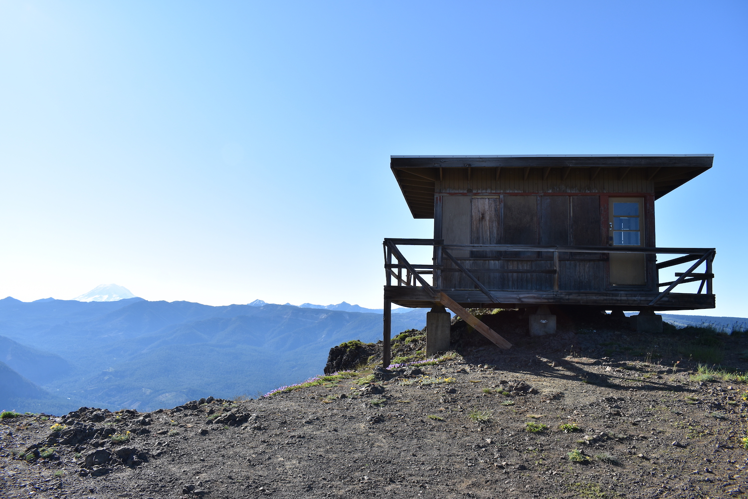
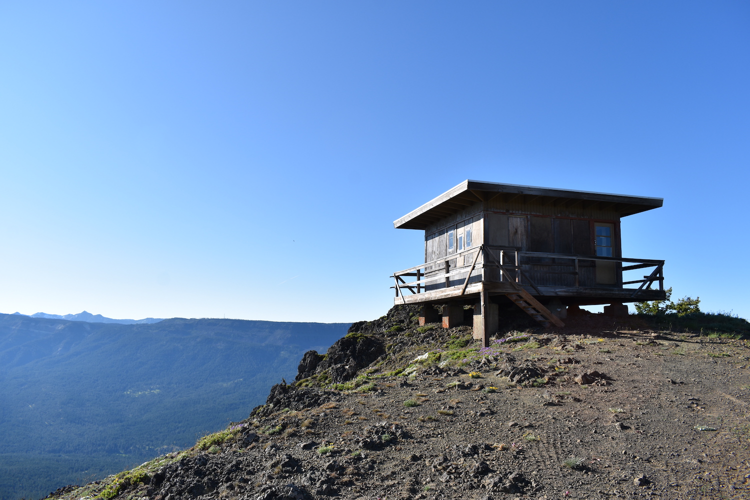
Summit Elevation: 5,670′
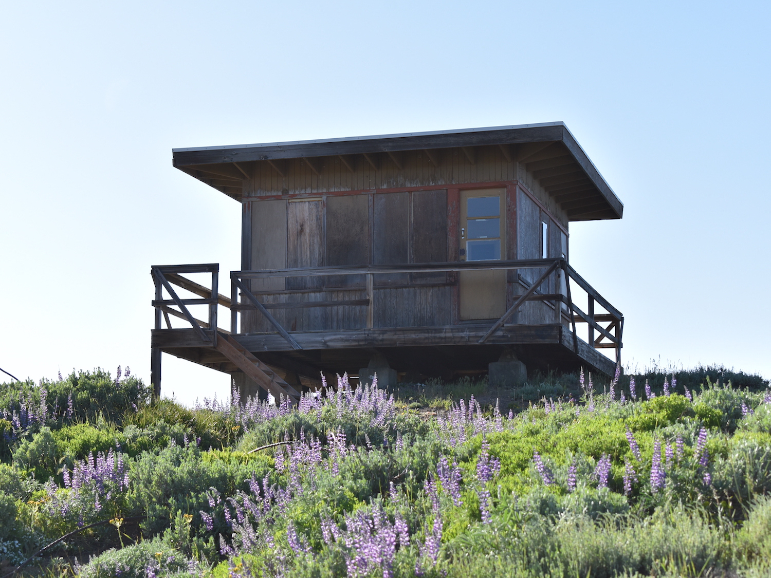
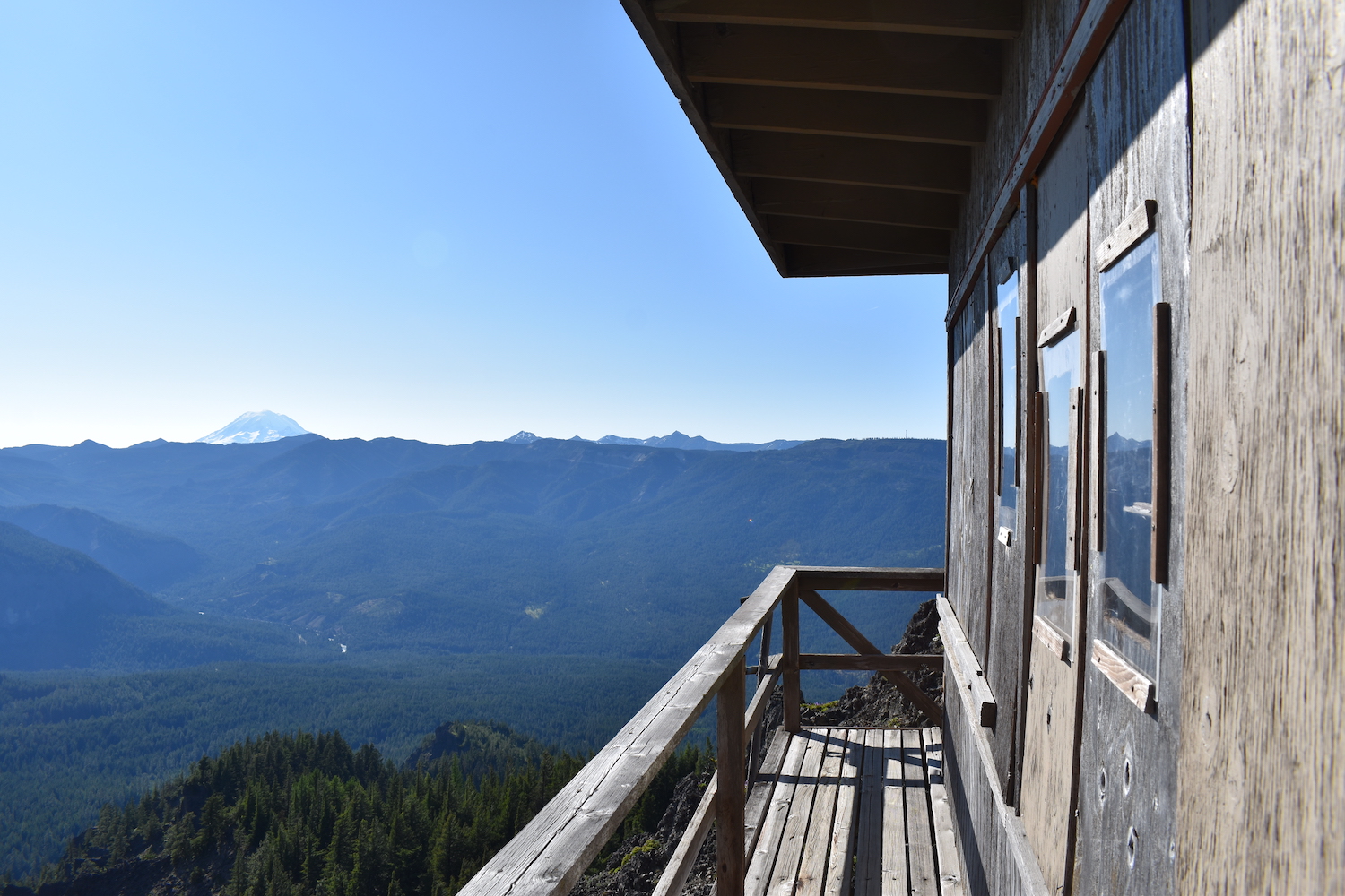
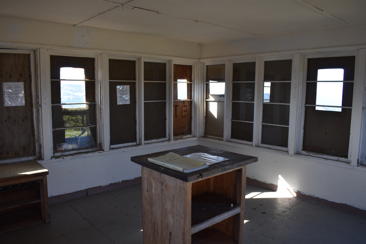
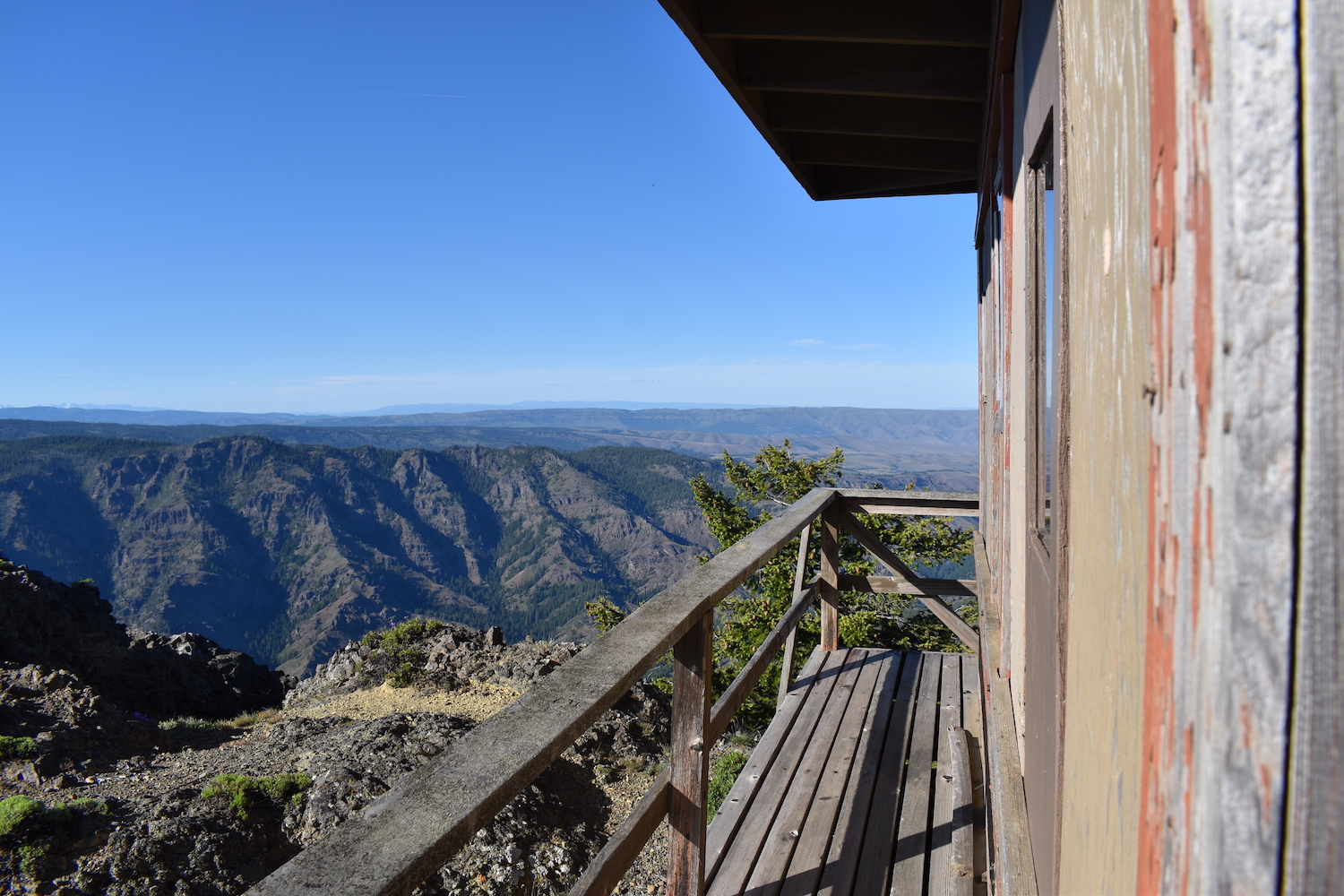
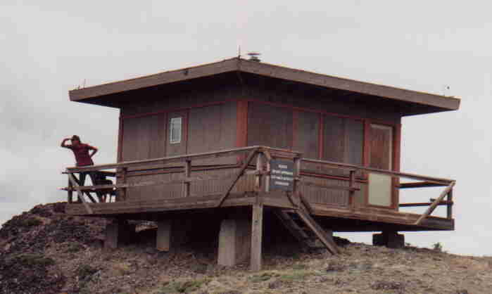
Lookout Type: R-6 flat cab
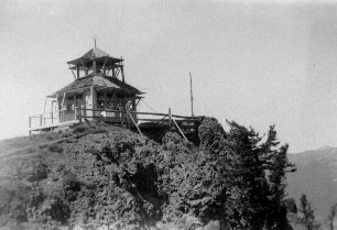
Site Established: 1923
Current Structure Built: 1958
Date Visited: 6/14/19
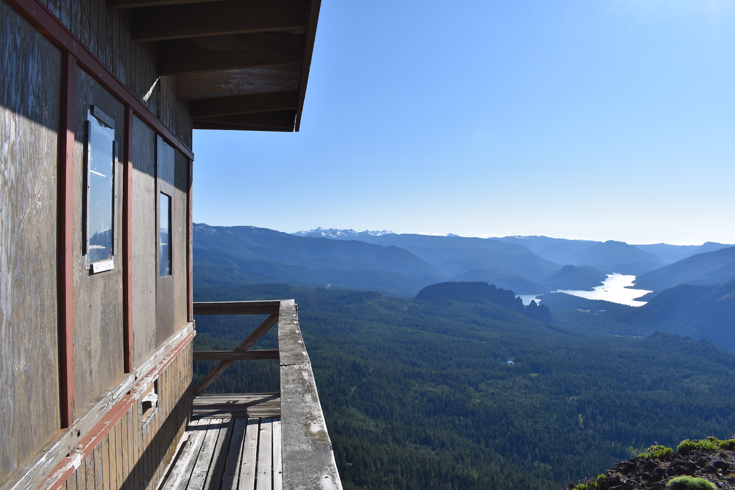
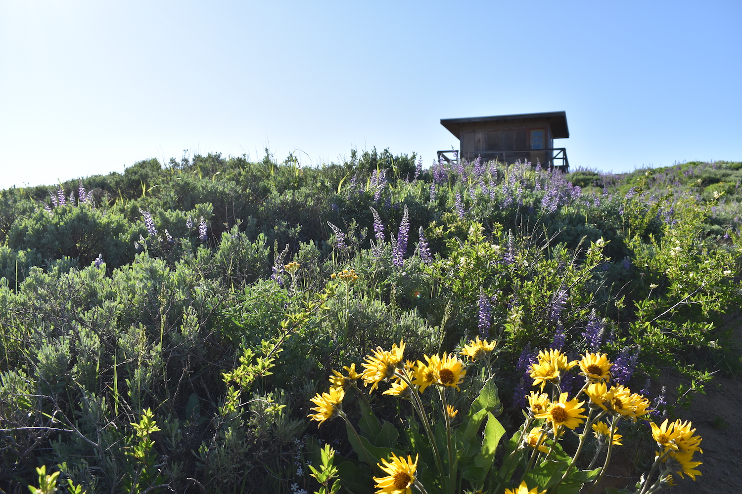
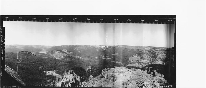
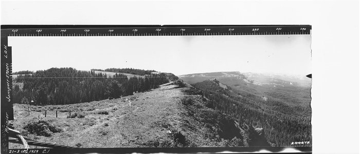
Jumpoff is the last surviving fire lookout in the Naches Basin. Many consider the road to Jumpoff to be the worst access road for any fire lookout in Washington. I think the road is actually in pretty good shape, it’s just incredibly rocky and rough, so be prepared for a slow drive or a long hike up from below.

Photos from 2019.
History.
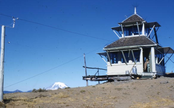
Jumpoff was established in 1923 with a D-6 cupola cabin, then an R-6 flat cab replaced it in 1958. The lookout has been used sporadically since the 1960’s on an emergency basis.
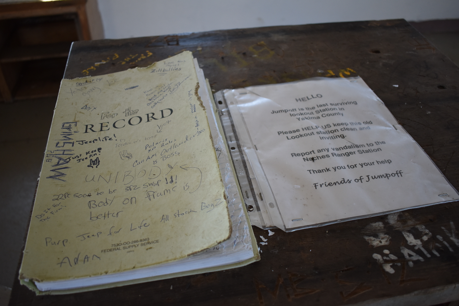
Mike Hiller, the lookout on Jumpoff from 1969 until 1973 organized the “Friends of Jumpoff” volunteer group to help repair severe vandalism to the structure that had resulted in broken windows, missing shutters, and damage to the roof and lightning protection system.
The route.
Distance (RT): 8 miles*
Elevation Gain: 1,500′
*It is possible to drive to the summit with a high clearance AWD but hiking from either Long or Lost Lake from the west is also an alternative. This mileage from Long Lake.
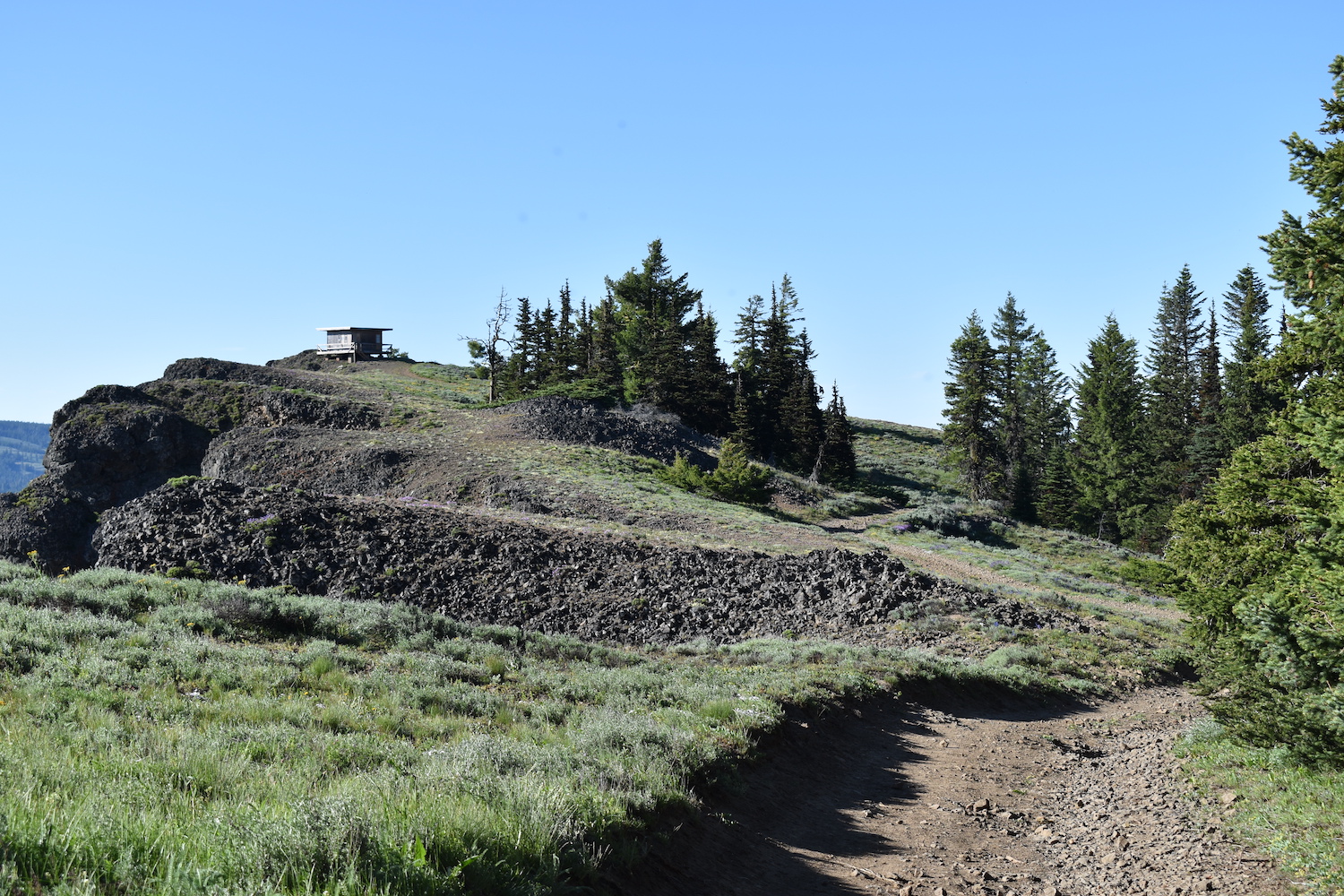
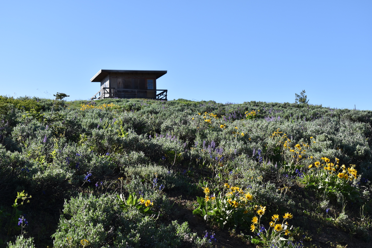
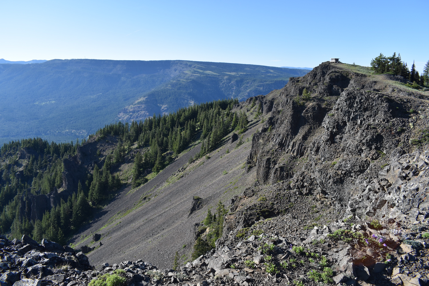
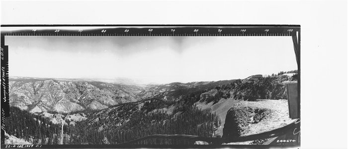
It’s possible to hike lower down from Lost Lake, or also from Long Lake, just below the lookout to the west. From Lost Lake, an unsigned trail just to the right of the lake rolls through lava fields until crossing a gravel road near a small camping shelter at Long Lake. From Long Lake, multiple steep 4×4 and ATV tracks wind up the mountain and reach Louis Way Gap at 2.5 miles. Trail 1127 traverses the east side of Divide Ridge, generally heading straight to the lookout though it’s tough to follow in places.
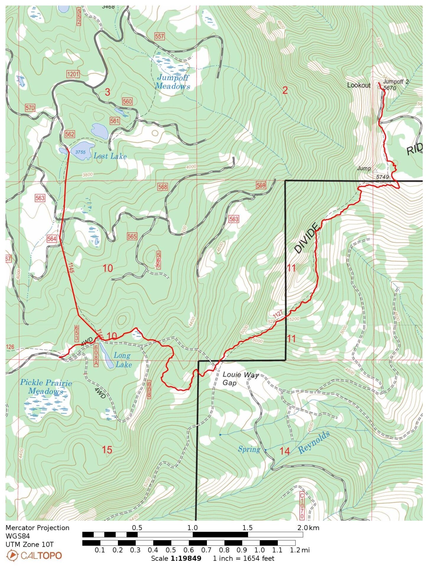
Directions.
From Naches, head west on US Highway 12 and take a left on FS 1302 from near Windy Point. Following 1302 a very rough and bumpy 13 miles to the lookout.
To hike from Lost Lake, follow US Highway 12 22 miles west from Naches (9 miles west from Windy Point) and take a left on NF-1200/Rimrock Reservoir Road. Drive 2 miles, then turn left on FS 570. In 2 more miles take a left on FS 1201, then an immediate right on FS 576 which ends at Lost Lake, roughly 5 miles from the highway.