Okanogan Highlands | Kettle River Range
Colville Indian Reservation
Location: 48.419404, -118.499179
Summit Elevation: 6,381′
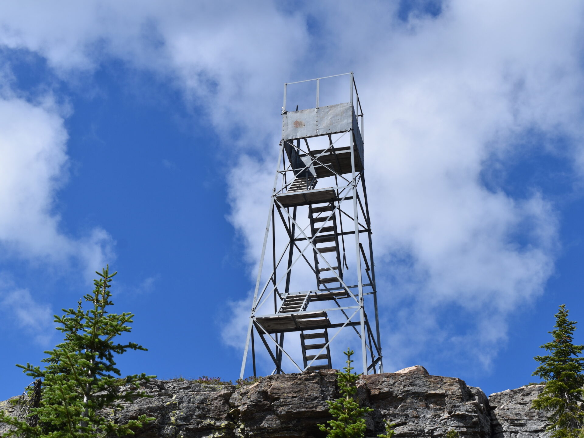
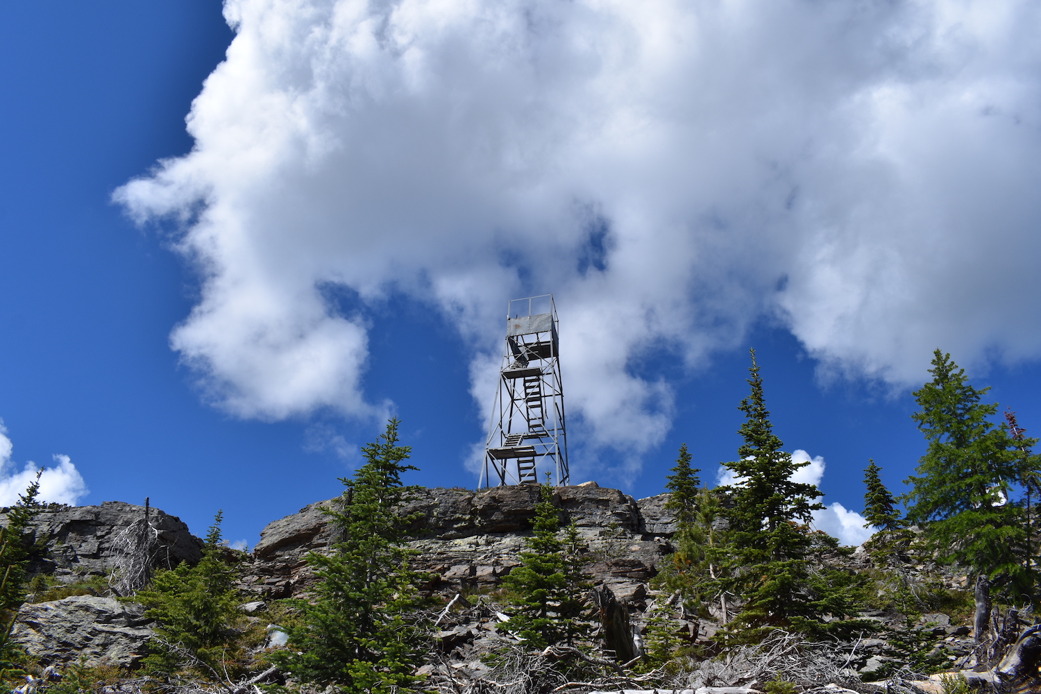
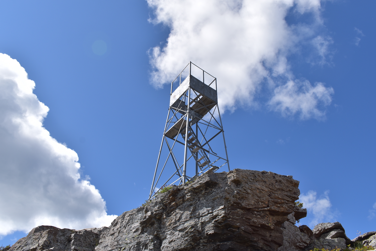
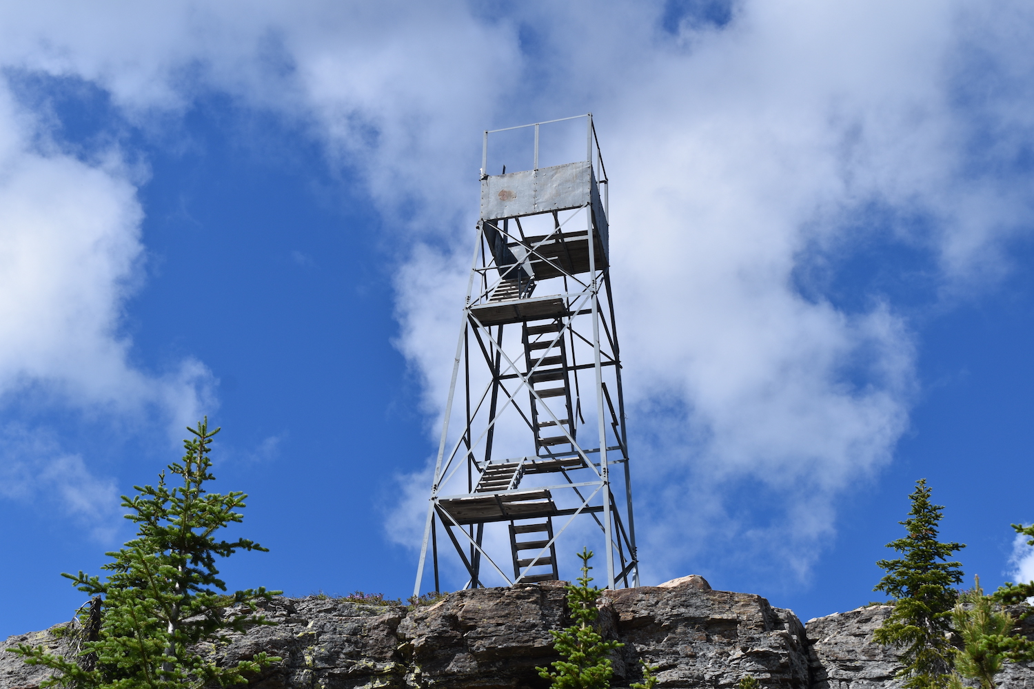
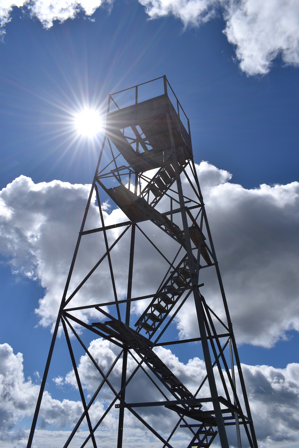
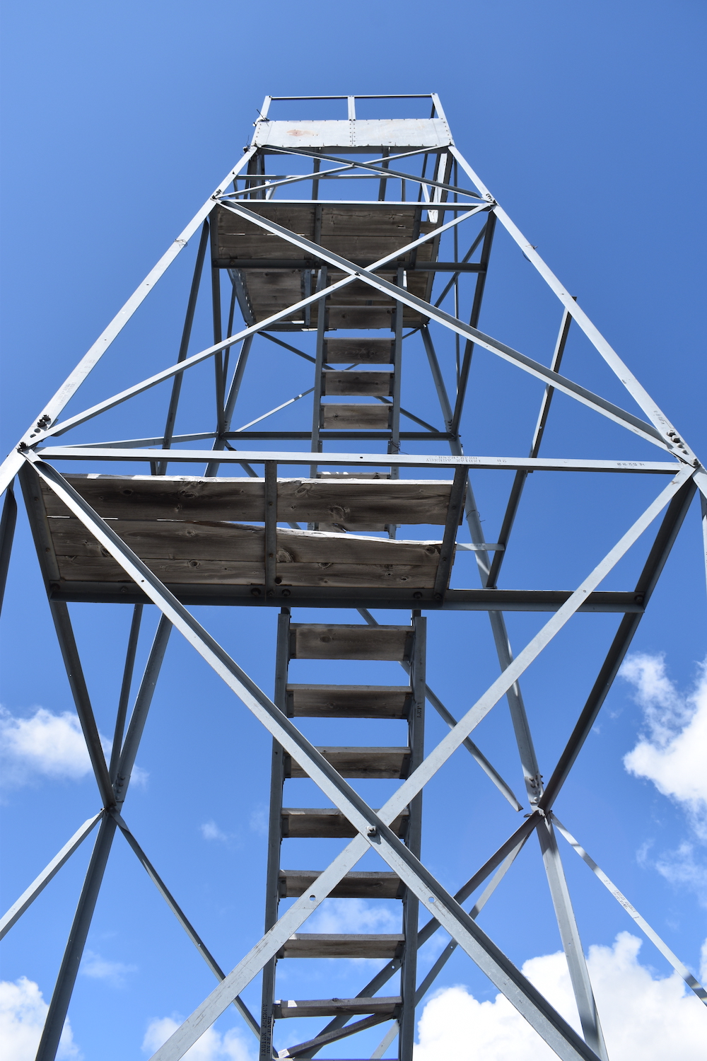
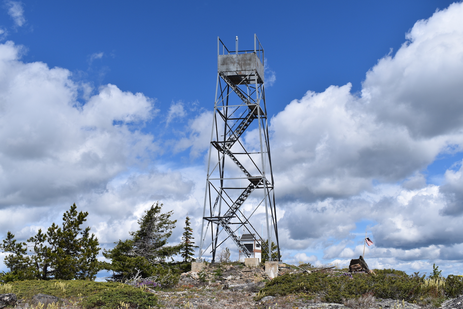
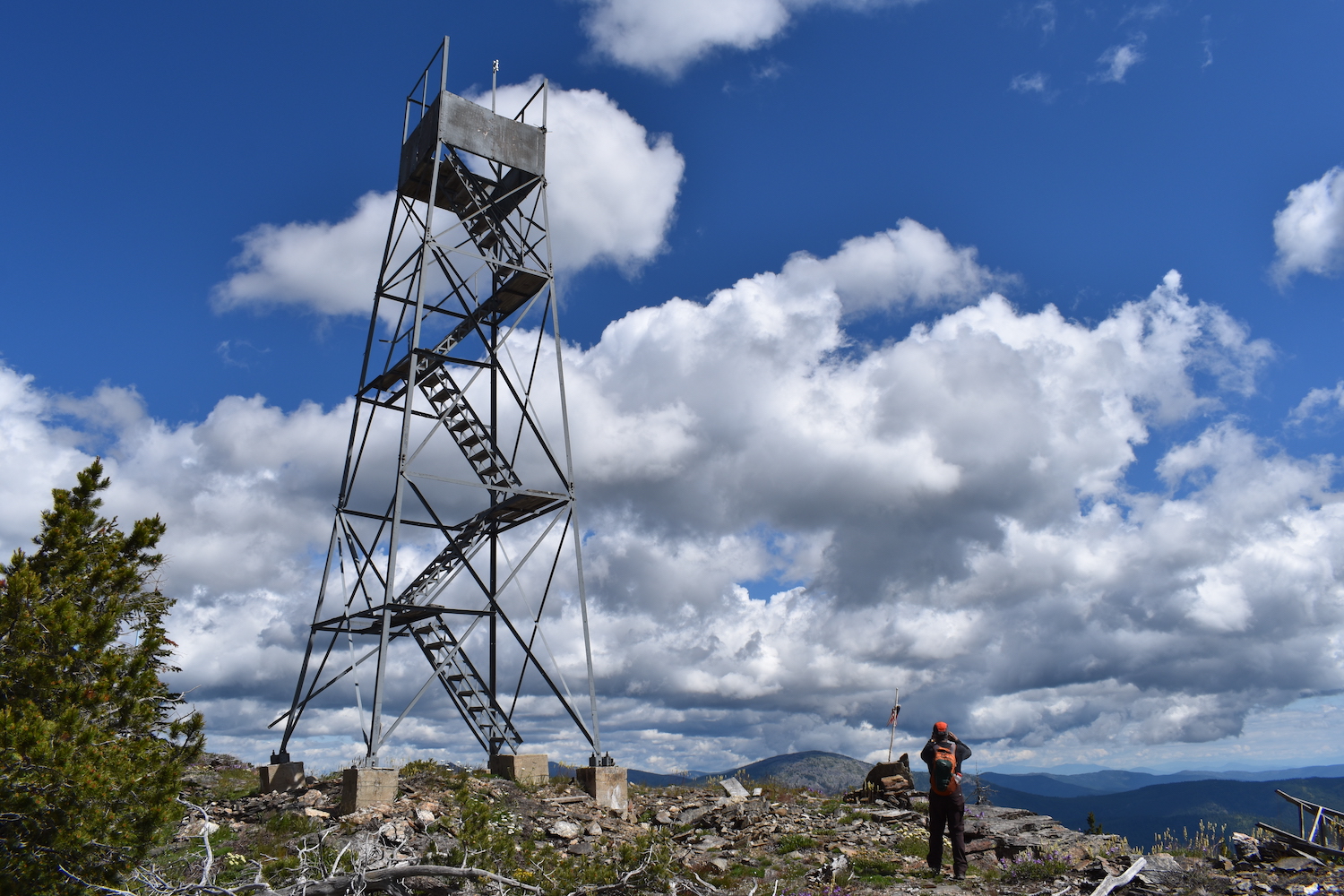
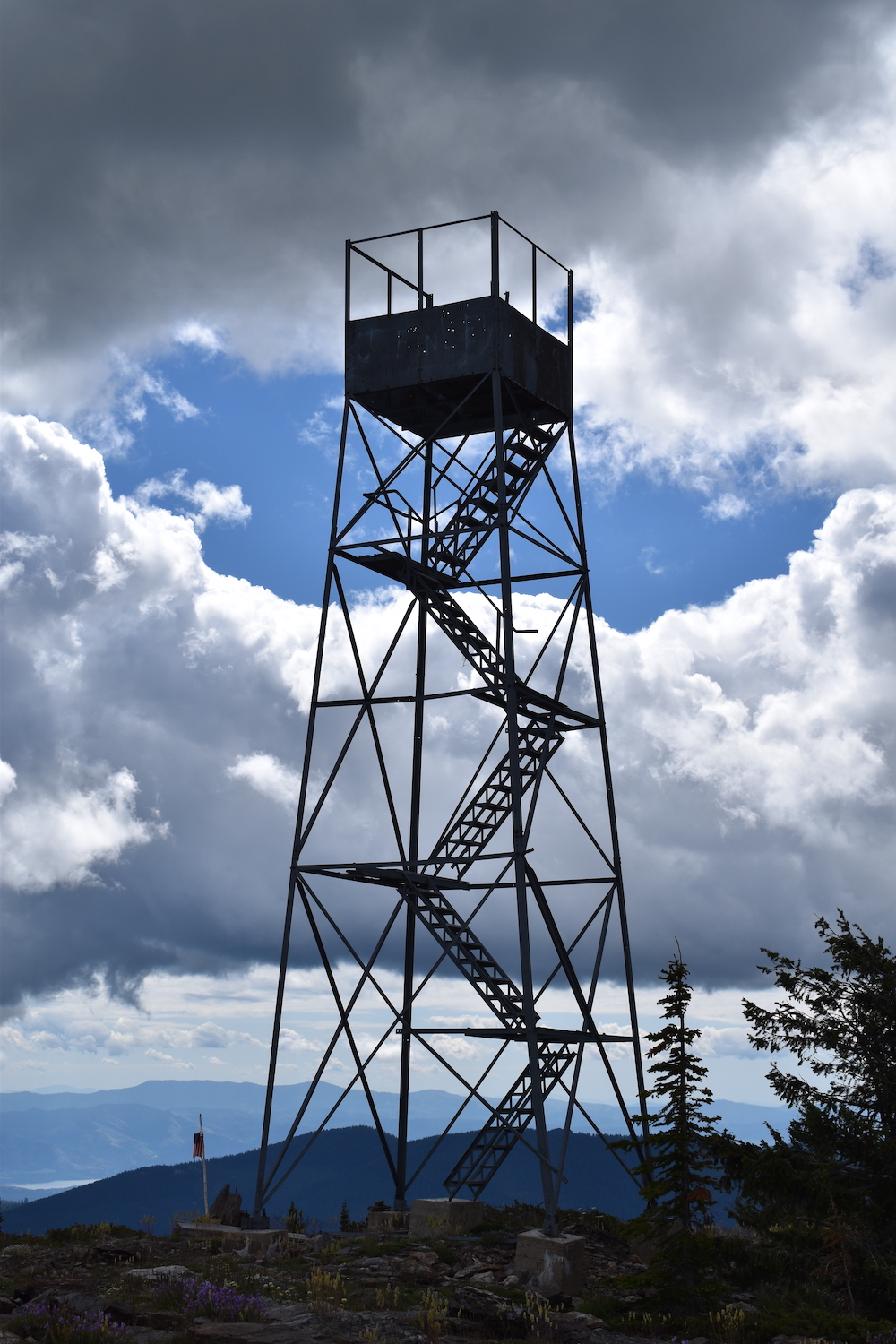
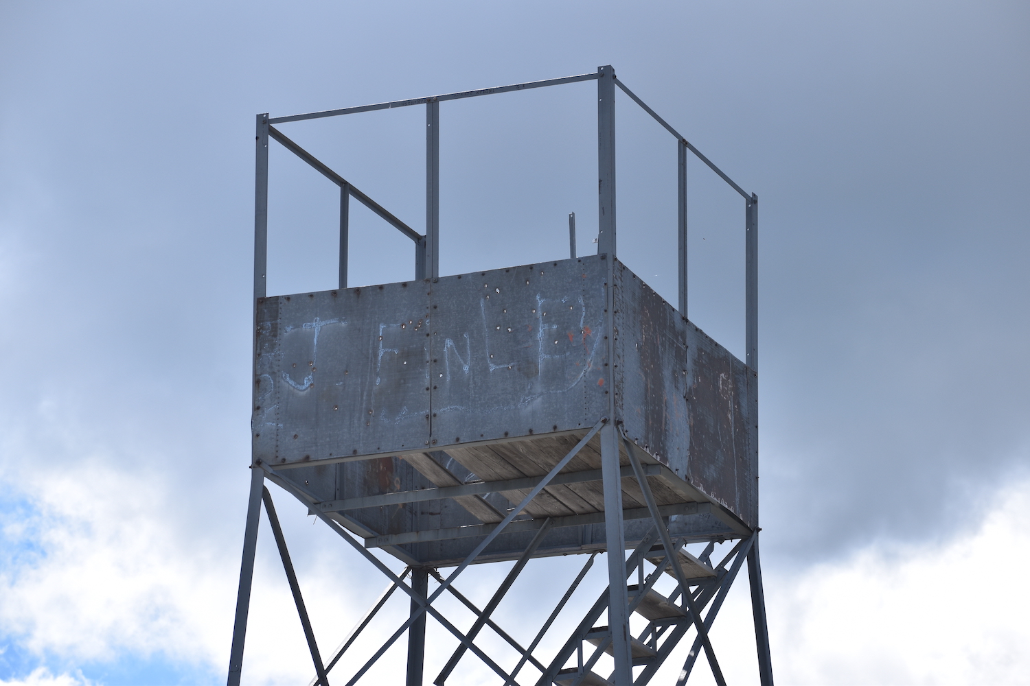
Lookout Type: 30′ steel tower with 7’x7′ cab
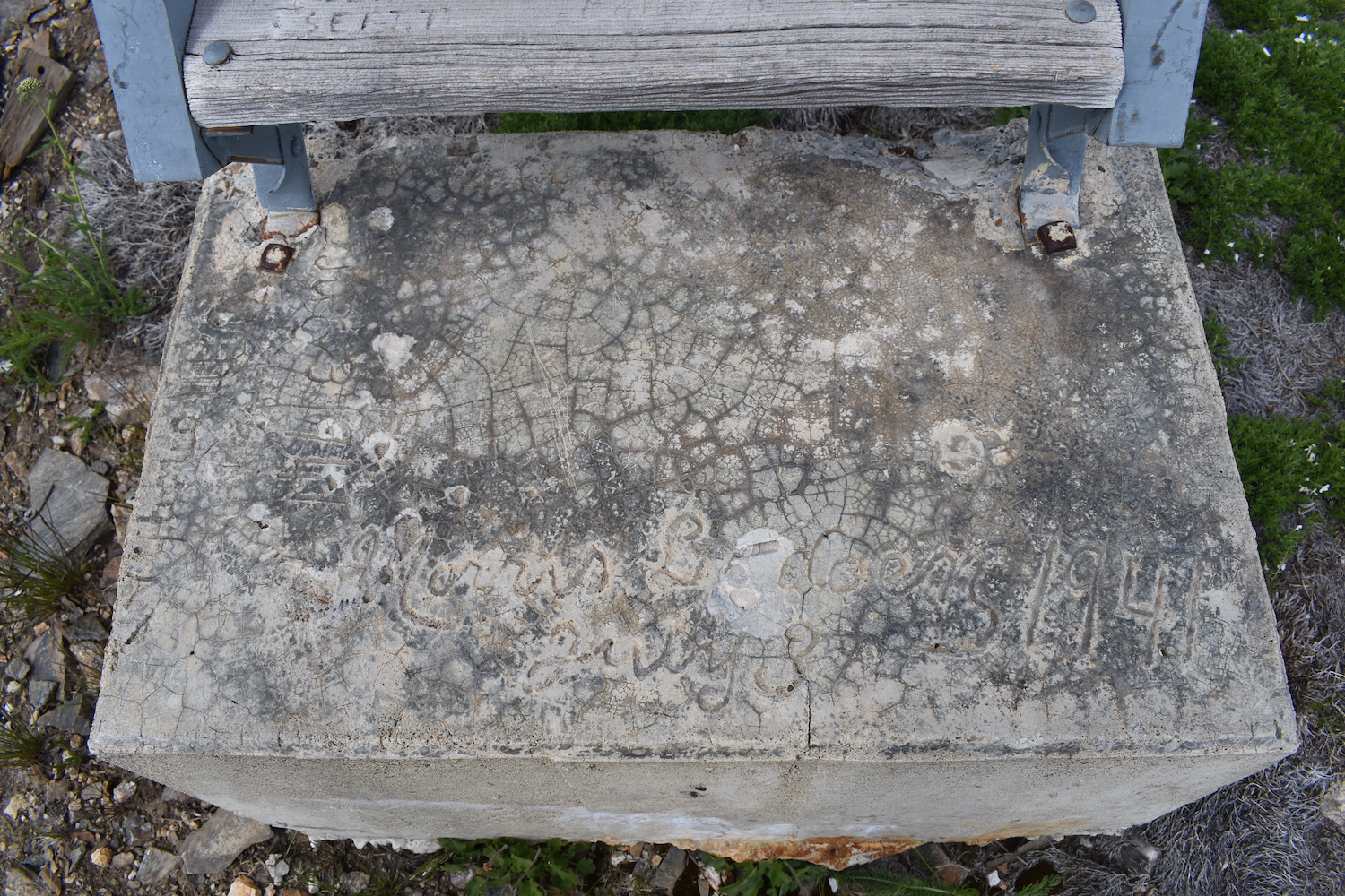
Site Established: 1941
Current Structure Built: 1941
Date Visited: 6/29/19
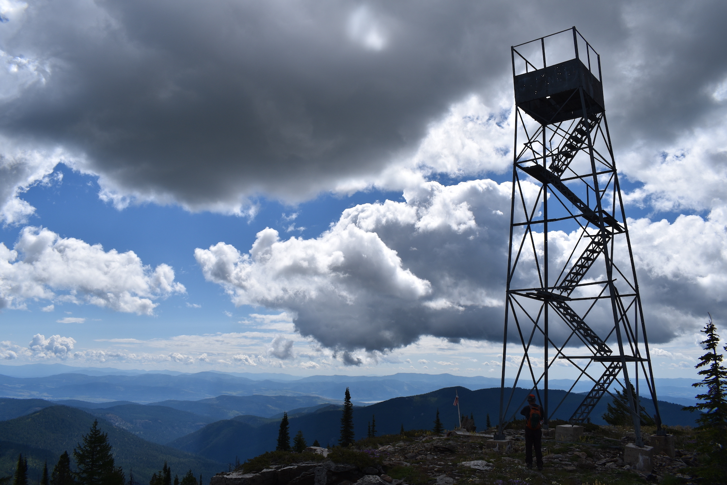
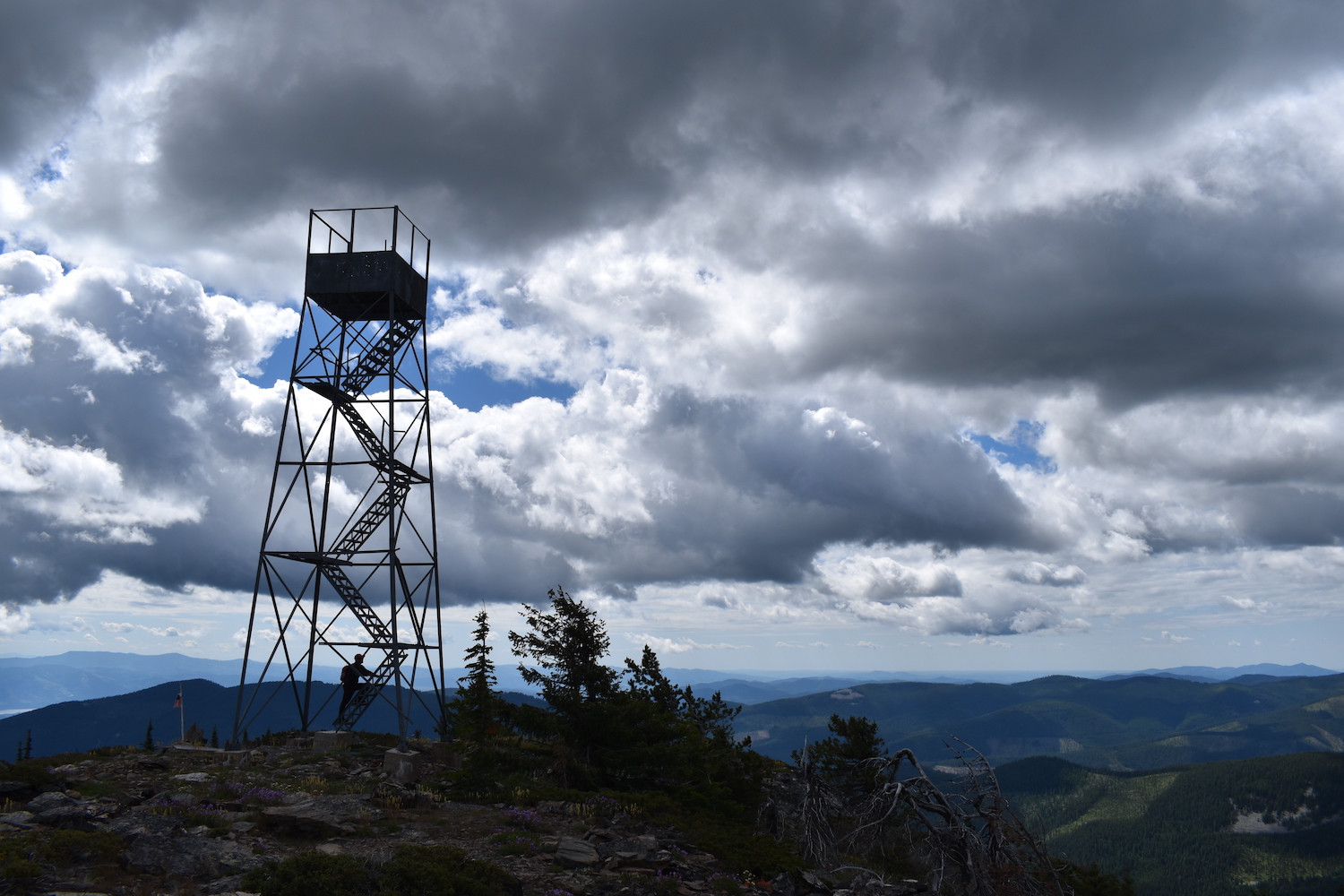
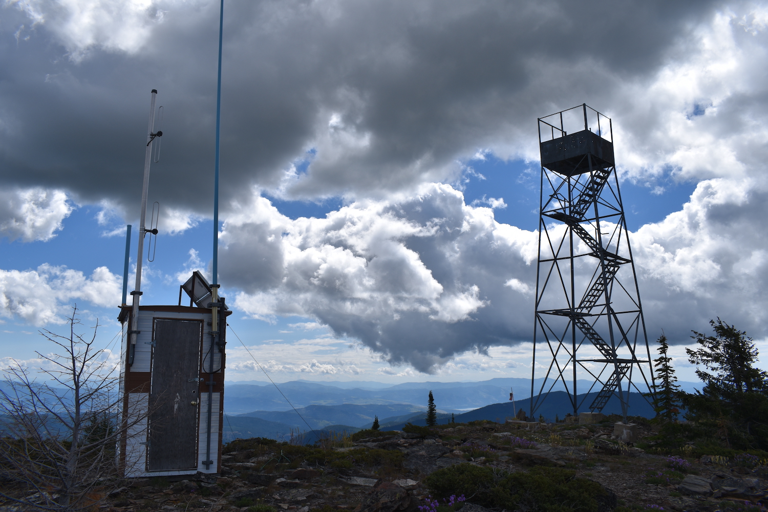
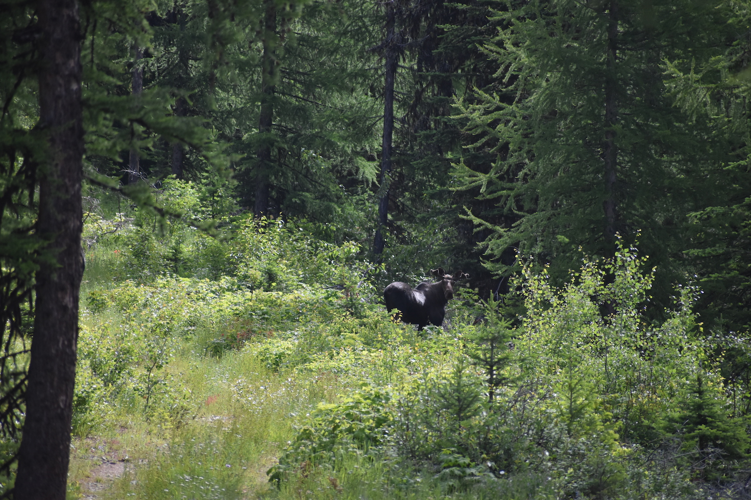
This 30′ steel tower on the Colville Reservation offers sweeping views of gorgeous country and during my visit there with my dad in 2019 we also saw a moose near the summit.
Photos from 2019.
History.
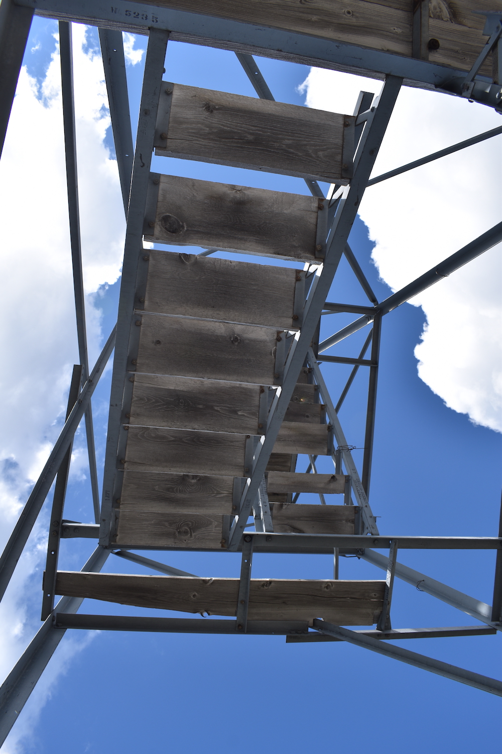
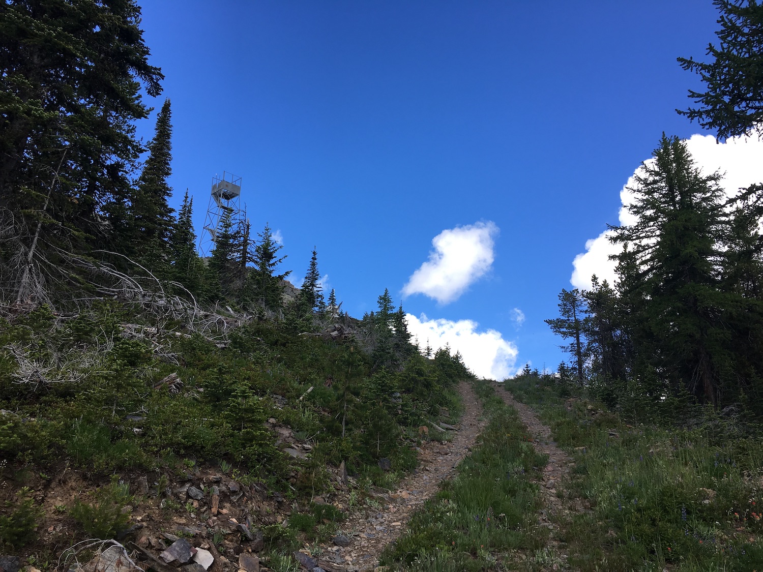
This 30′ steel tower with 7×7′ cab was built in 1941 and abandoned in 1952. The ground cabin and roof of the lookout have disappeared over the years. Recent evidence suggests this tower may have come from Moses Mountain where an identical tower was removed in 1938.
During the summer of 2021 Grizzly was threatened by the Summit Trail fire that started July 12th as a result of lightning storms. The fire burned nearly 50,000 acres west of Inchelium so access to Grizzly could be tough as a result of fire damage.
Visiting Grizzly with my dad.
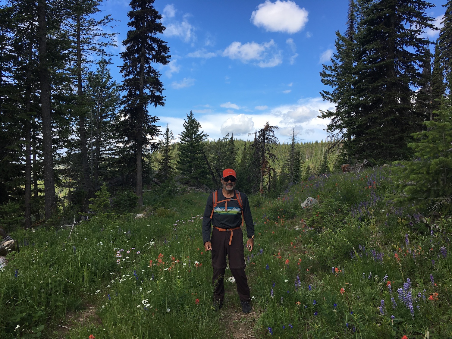
My visit to Grizzly in 2019 was one of my favorites, partly because I had almost completed visiting all the Washington lookouts save for a few on the Colville and ironically, Mount Pilchuck, probably the most popular lookout in the state. My dad flew out from California to join me on the last few lookouts and ultimately celebrate my completion on July 1 at Pilchuck. My dad is an ultra hiker and peakbagging nut, so it was so great to share the experience with him.
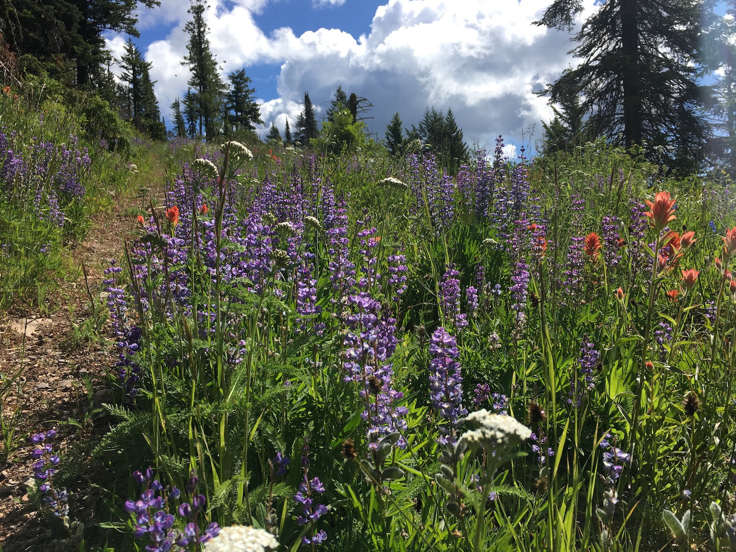
I also love the wild beauty of the Colville and Grizzly is a spectacular spot. In June the wildflowers and green hillsides were beautiful and we even saw a moose near the summit. It’s hard to know what the area looks like now after 2021 fires but no doubt the wildflowers will return.
The route.
Distance (RT): 4 miles*
Elevation Gain: 1,000′
Summit Elevation: 6,381′
*Mileage depends on how far you can drive to the summit.
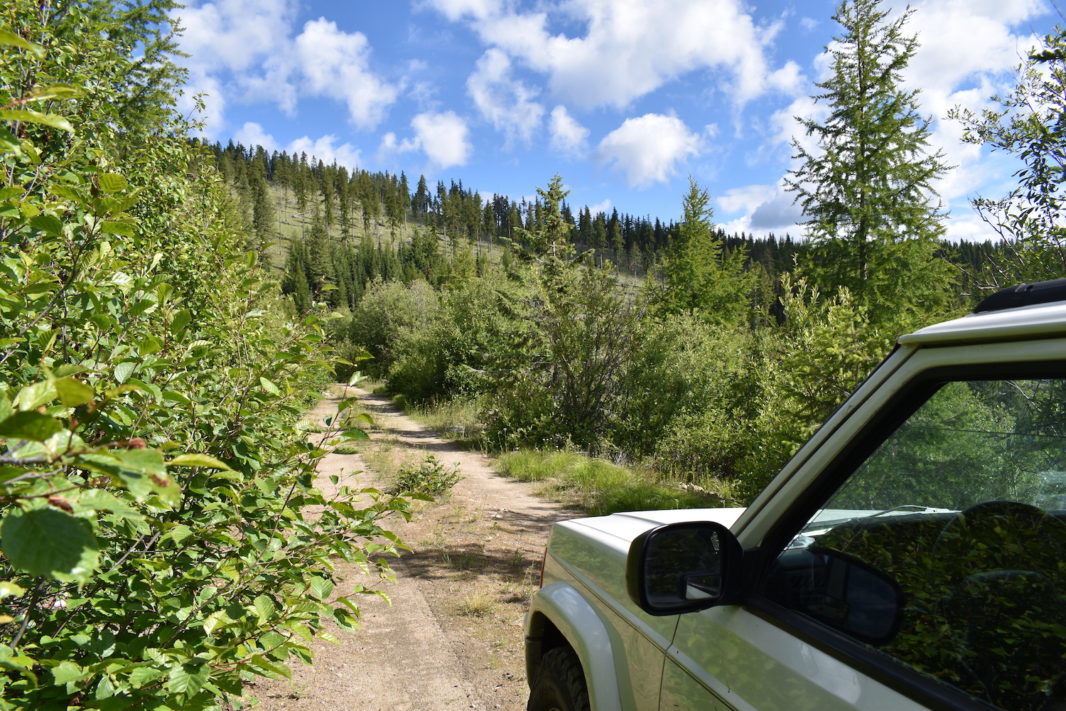
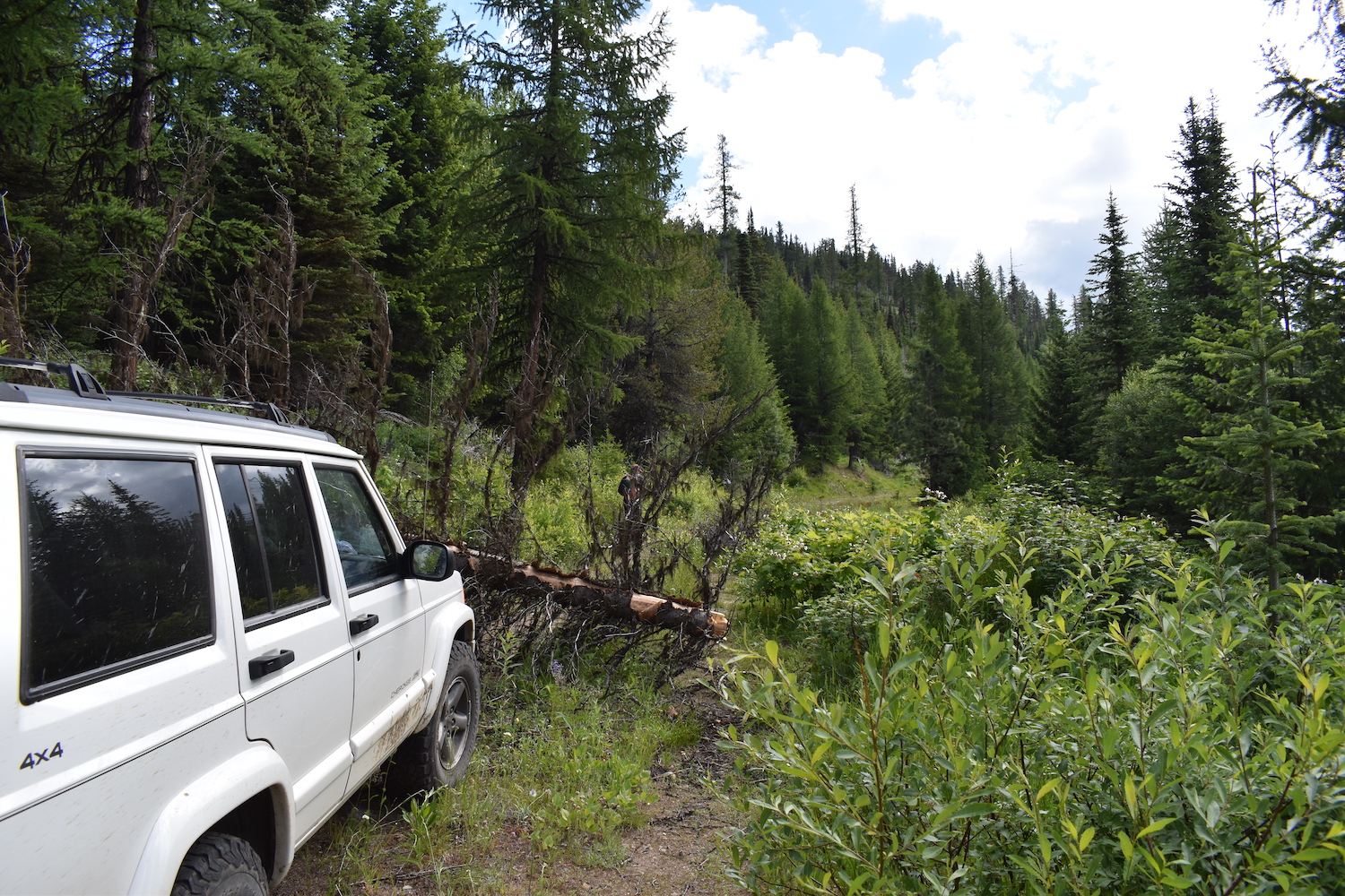
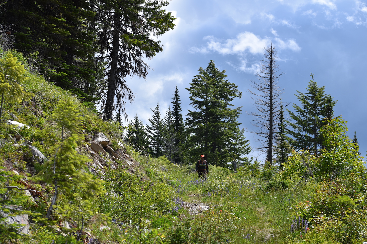
There are a few different routes to Grizzly though 2021 fires might have severely impacted some of those. When I visited in 2019, I approached from Inchelium, driving Hall Creek to the northwest, then continuing east on Sitdown Creek Road about 9 miles until an unsigned forest road junction that turned up to Grizzly Mountain. I was able to drive to within two miles of the summit before encountering a large downed tree and a disappearing road that warranted hiking the rest of the way.
Definitely take a map on this route. There are a lot of logging roads that dead end and can be confusing. Having the route mapped is imperative. Also be aware that fires in 2021 may have severely impacted access. It’s worth hiking a short ways across the ridge as well to visit the actual Grizzly Mountain high point.
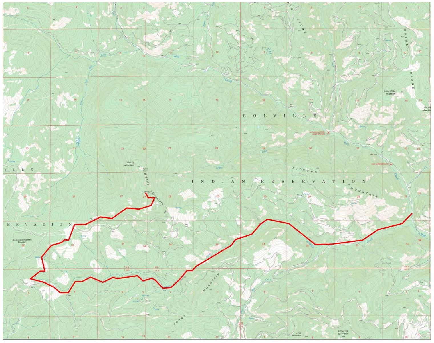
Hiking route to Grizzly after being stopped on road.
Directions.
See above for the approach I took in 2019 from Sitdown Creek northwest of Inchelium. Be aware that fires in 2021 might have severely impacted access.
Note: To visit Colville Confederated Tribal land, non-tribal members must now purchase a recreation permit for $80/annually. Passes may be purchased online.
