Okanogan Highlands | South Okanogan Highlands
Okanogan-Wenatchee National Forest
Location: 48.59435, -118.890485
Summit Elevation: 5,096′
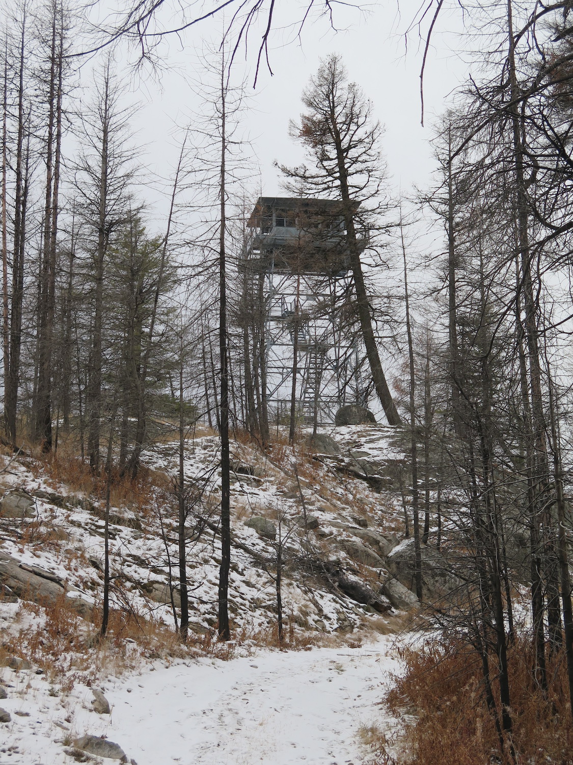
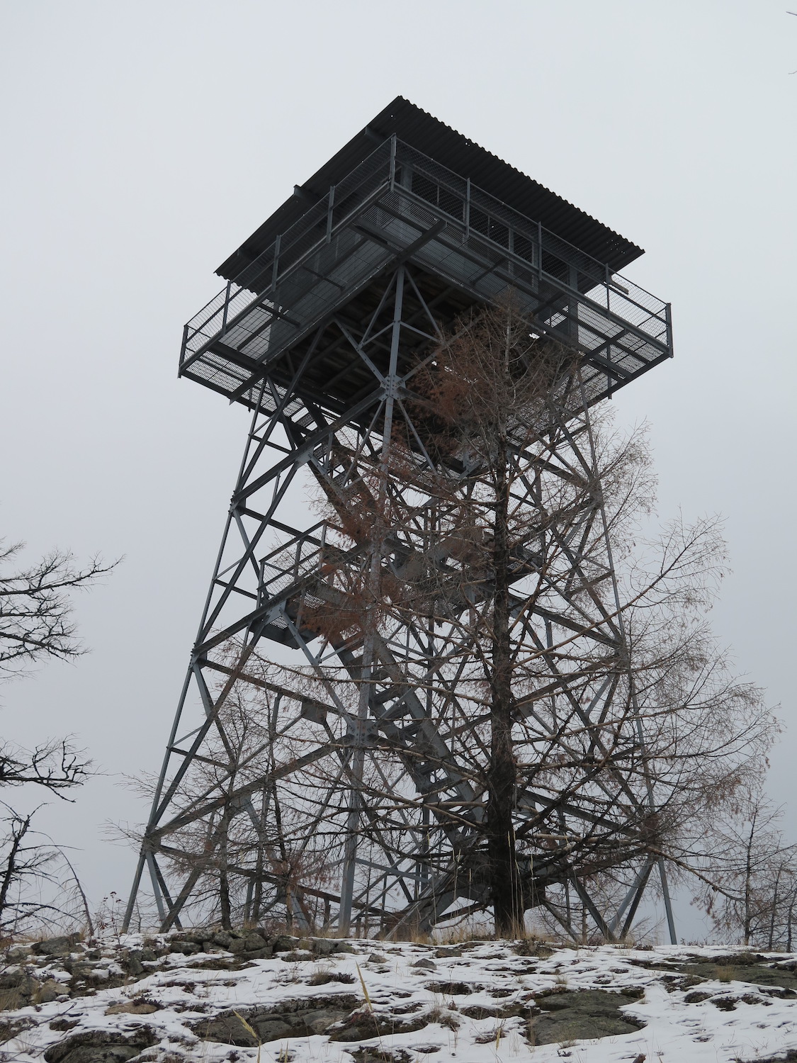
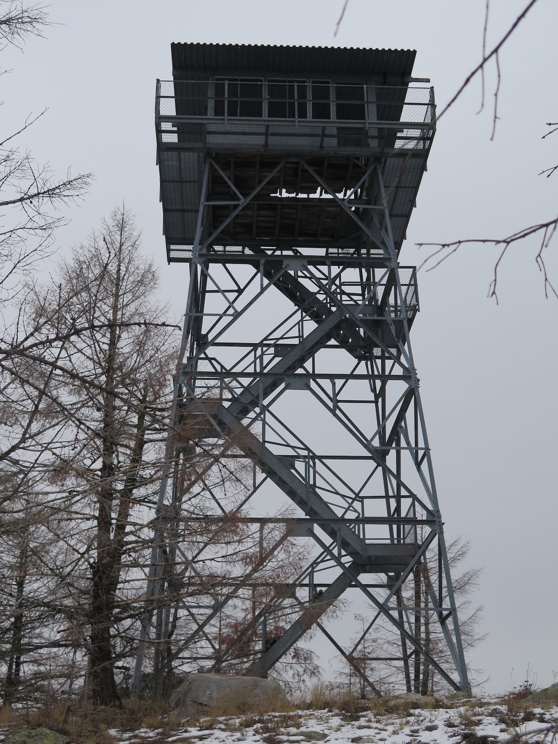
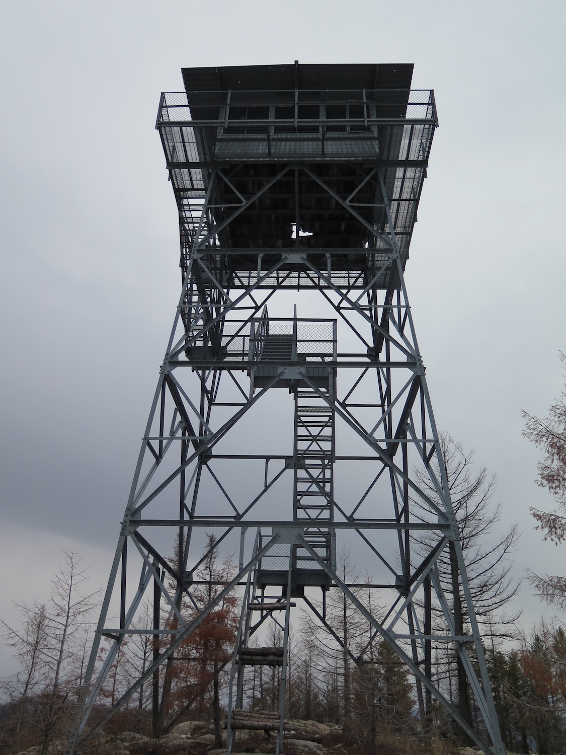
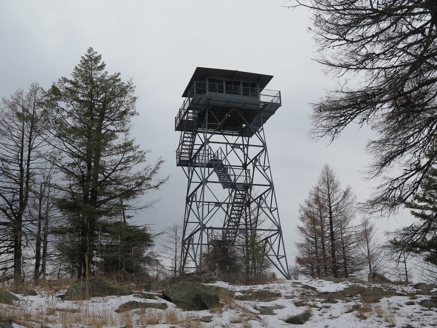
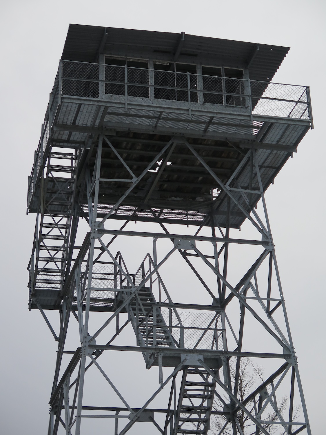
Lookout Type: 42′ all-steel live-in tower
Site Established:
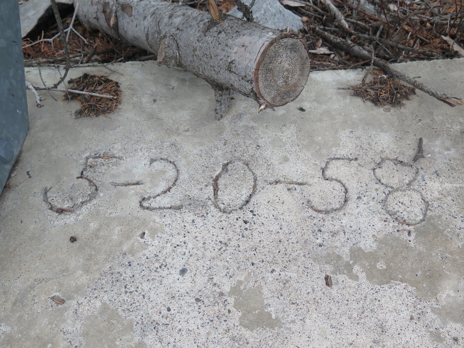
Current Structure Built: 1958
Date Visited: 11/21/18
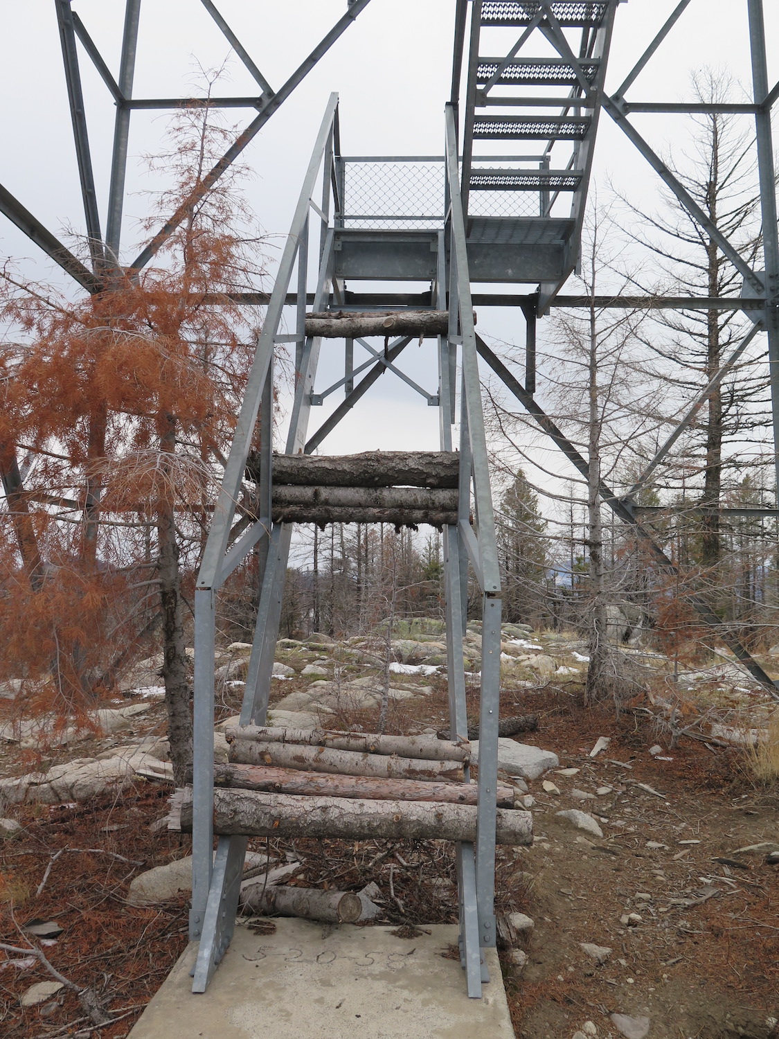
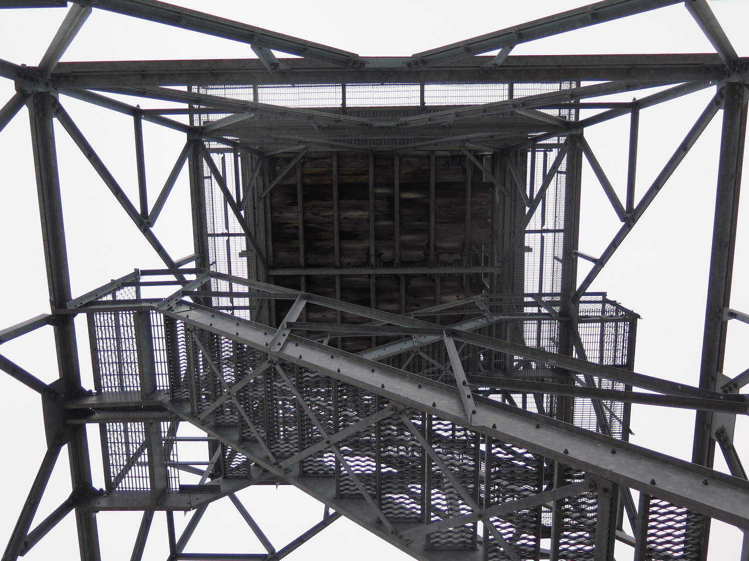
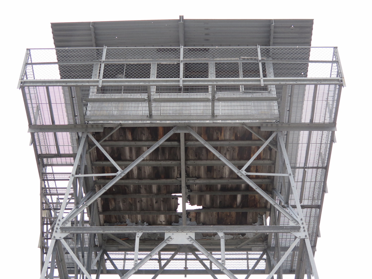
In September 2015, the North Star fire burned close enough to Cornell to send embers into the cab and catch parts of the floor on fire. The cab remains damaged and the lower stairs have been removed for visitor safety.
Photos from 2018.
History.
This 42′ all steel lookout was built in 1958, then purchased by a private party in 1996 and slated for removal. According to the Forest Service, Cornell hasn’t been used regularly since 1971, but no funding exists for removing the tower, which has been heavily damaged and vandalized. The North Star Fire in September 2015 burned the surrounding area, sending embers into Cornell’s cab that caught some of the floor boards on fire. The bottom stairs were removed for visitor safety.
If you have any historical photos of Cornell, let me know! I haven’t yet found many.
Directions.
There are several ways to approach Cornell, so a map is highly recommended. I approached from Aeneas Valley to the west using the following directions:
Turn onto Aeneas Valley Road off Highway 20 east of Tonasket. After about 16 miles, turn left onto Coco Mountain Road, which climbs steeply up, turning into NF-3120. This road climbs steeply eventually turning into FS 3120. About 6 miles after the left on Coco, turn right onto FS 200. In 1.2 miles there is an unsigned road to the left. Park and walk the remaining 1.4 miles or if you have a high clearance 4WD, drive the remaining road to the lookout. I was able to drive right below the lookout. I made a loop out of the drive by heading to the north on my way out, taking Cape Labelle Road to Wauconda, then back to Tonasket.