North Cascades | Glacier Peak-North Stevens Pass Area
Okanogan-Wenatchee National Forest | Alpine Lakes Wilderness
Location: 47.81203, -120.8680039
Summit Elevation: 6,235′
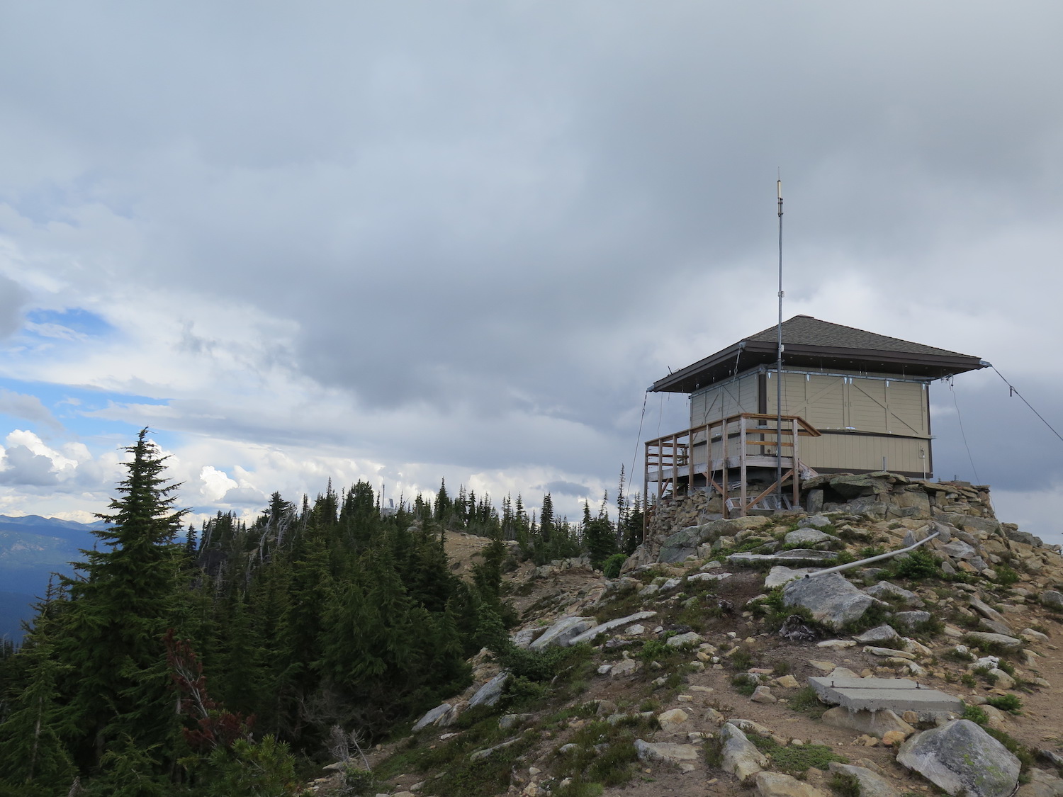
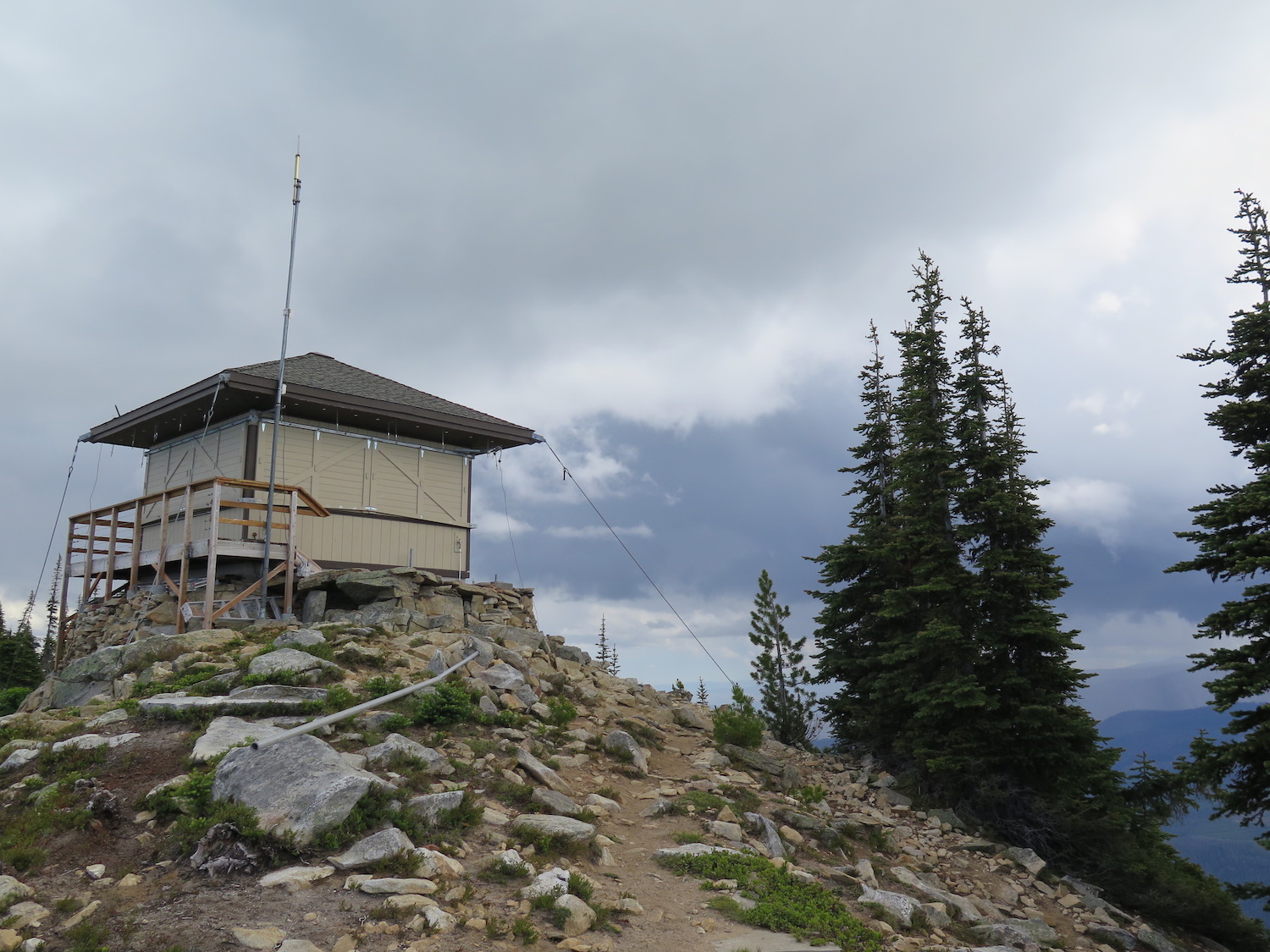
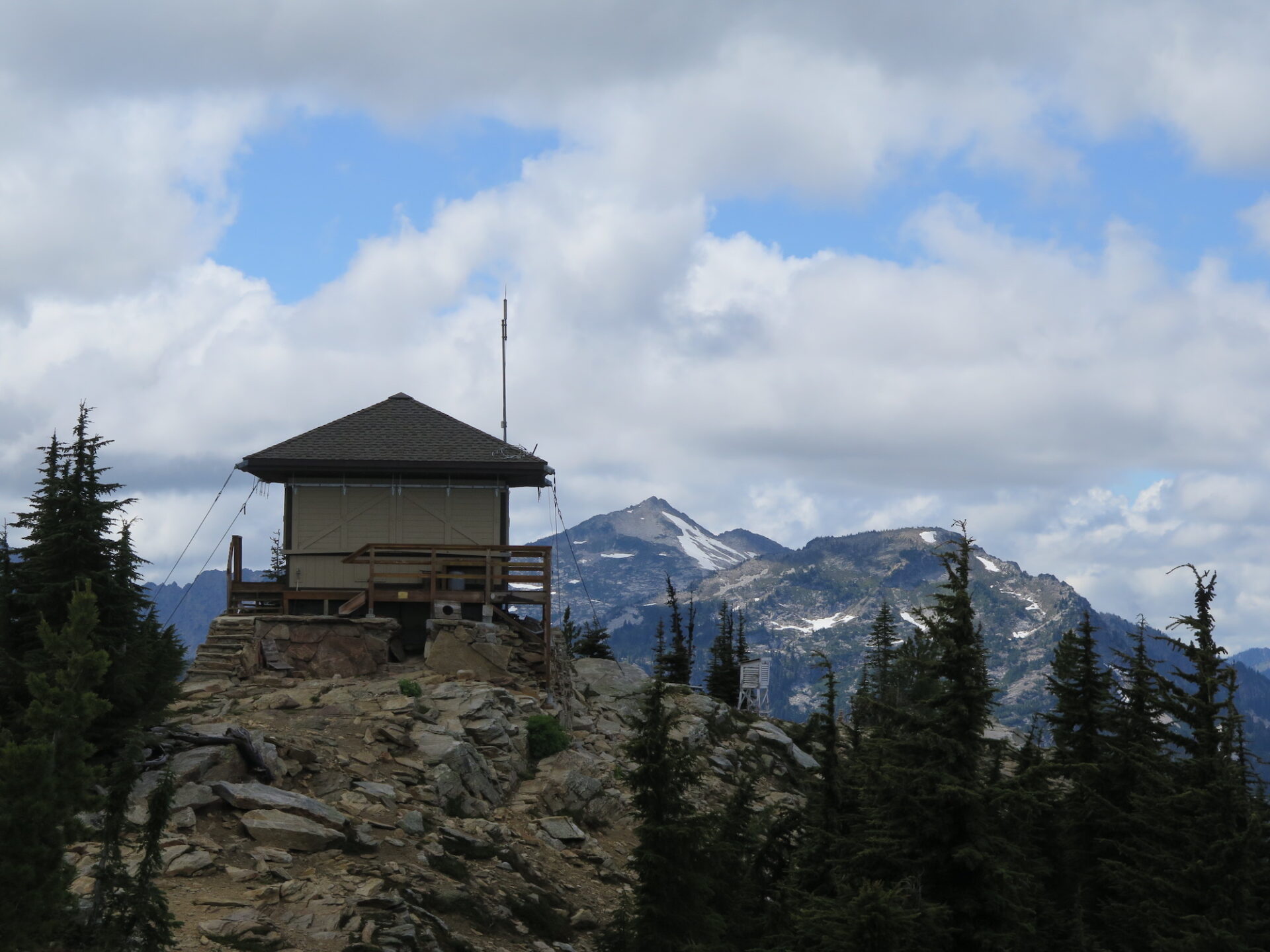
Lookout Type: 15’x15′ R-6 flat cab
Site Established: 1920
Current Structure Built: 1975
Date Visited: 7/19/16
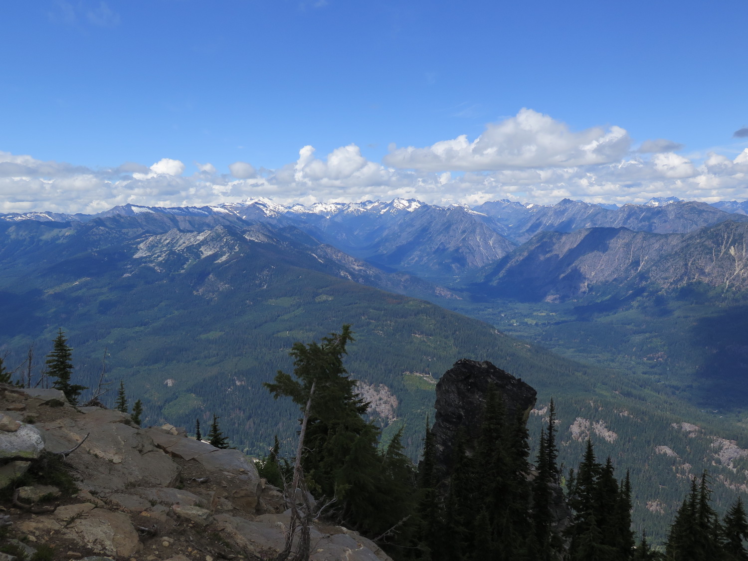
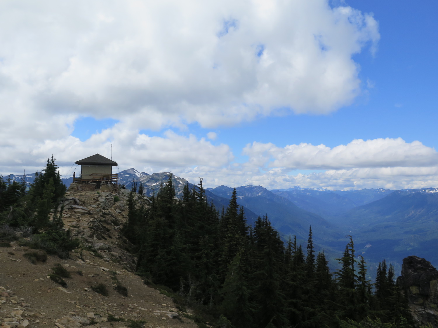
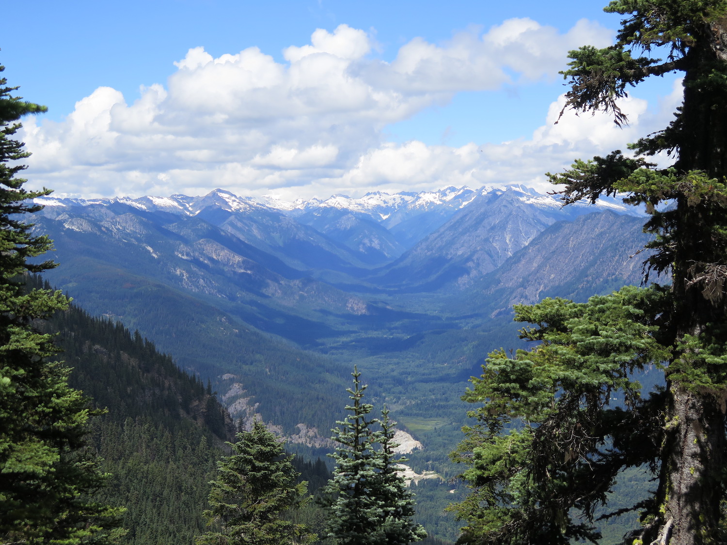
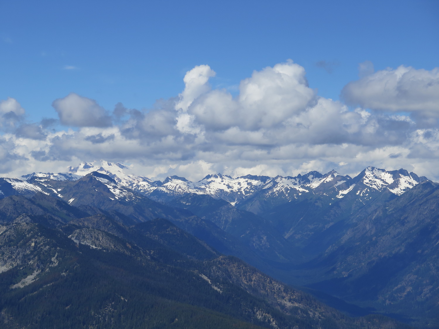
Alpine Lookout is the last remaining lookout in the Stevens Pass area and with 1,150′ of clean prominence, has impressive views of Glacier, Rainier, and the Enchantments.
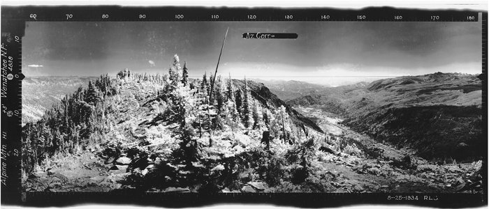
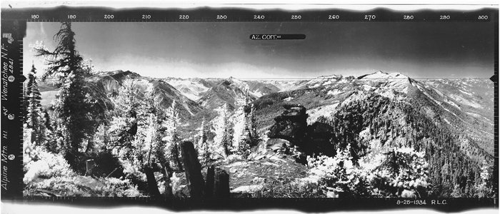
I will never forget getting caught by lightning on Nason Ridge during my 2016 visit to Alpine. It was a hair-raising experience I don’t care to repeat!
Photos from 2016. I don’t have many because I was running off the mountain at mach 3 in the middle of a lightning storm.
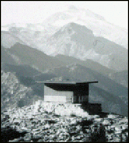
History.
Alpine Mountain was first established as a lookout camp in 1920 with a phone and alidade (a sighting device used often in surveying to determine directions and measuring angles). In 1936 an L-4 ground house was constructed with a large stone base. The ground house was replaced in 1975 with the present 15’x15′ R-6 flat cab, though the roof has since been modified. The lookout used to be in active service, typically staffed in the summer months. It was nominated to the National Historic Lookout Register on July 1, 1995.
Alpine lookout sits atop Nason Ridge and with 1,150′ of clean prominence, it has a fantastic vantage point of the Enchantments, Glacier Peak, Mount Rainier, and Lake Wenatchee.
The views.


The route.
Distance (RT): 10 miles
Elevation Gain: 2,600′
Summit Elevation: 6,235′
There are several creative and longer ways you can reach Alpine Lookout but the most direct route is via the Round Mountain trail. The trail starts in forest and crosses a small spring, which may be the only water source. The climb is steep before breaking out into an area heavily burned in the mid-1980s. In about 1.6 miles, the trail reaches a junction with the Nason Ridge Trail. Turn left and enjoy the views down to Lake Wenatchee.
The trail traverses the side of Round Mountain, meandering through forest and wildflower filled meadows in July and August. The path narrows over exposed Nine-mile saddle and comes to a junction. To the left, the Nason Ridge trail heads down to Merritt Lake. Follow the trail to the right and climb 250′ over about a half mile to arrive at the lookout.
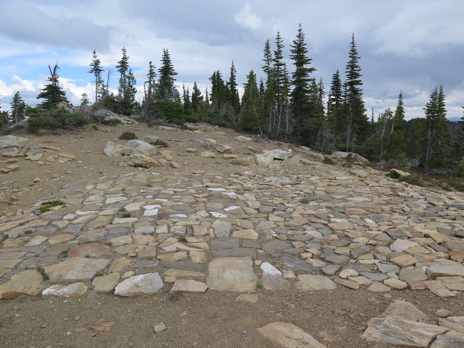
The summit has plenty of room to spread out and explore and is also home to a mountain top helipad. The true summit is 100 yards east of the lookout, marked with a flag or pole. Don’t be surprised if you see mountain goats here as they’re known to frequent the area, just remember to give them plenty of space.
Using some of my 9 lives in 2016.
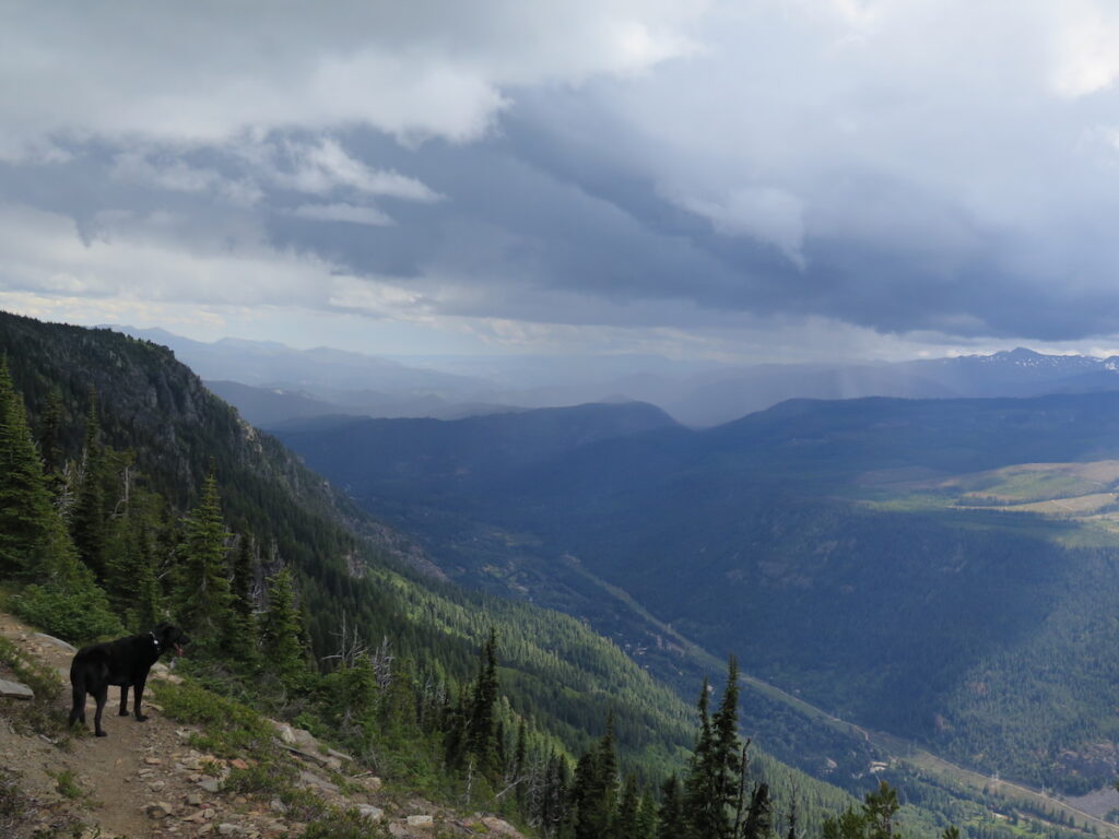
The reason I have few photos of Alpine lookout? I visited in July of 2016 and was caught at the summit by a fast approaching lightning storm. I saw the weather building in the distance and should have known better than to continue, having spent a lot of my college days in the Midwest as a Skywarn storm spotter. Nason Ridge is incredibly exposed and absolutely not the place you want to ride out a thunderstorm! I spent a whopping 60 seconds at the lookout before I ran down the trail and took shelter best I could. I assumed a lightning safety stance, crouched on the balls of my feet low on the ground while lightning hit all around.
To this day I’m pretty sure I’ve never covered a five mile descent back to the car faster! I won’t ever forget this visit and was pretty darn lucky. You can read more about my tips for lightning safety. It’s good to know when visiting lookouts!
I definitely need to plan a repeat visit to Alpine, maybe on a day without storms in the forecast.
Directions.
To Round Mountain Trailhead: From Stevens Pass on Highway 2, continue east 18 miles and turn left onto Forest Road 6910, just a quarter mile after a large rest stop. Cross a bridge, then proceed under some power lines and in 4.4 miles, turn right on 6910.1. The trailhead and parking area is a quarter mile up the trail.