North Cascades | Okanogan Range
Washington State Department of Natural Resources
Location: 47.81203, -120.8680039
Summit Elevation: 5,167′
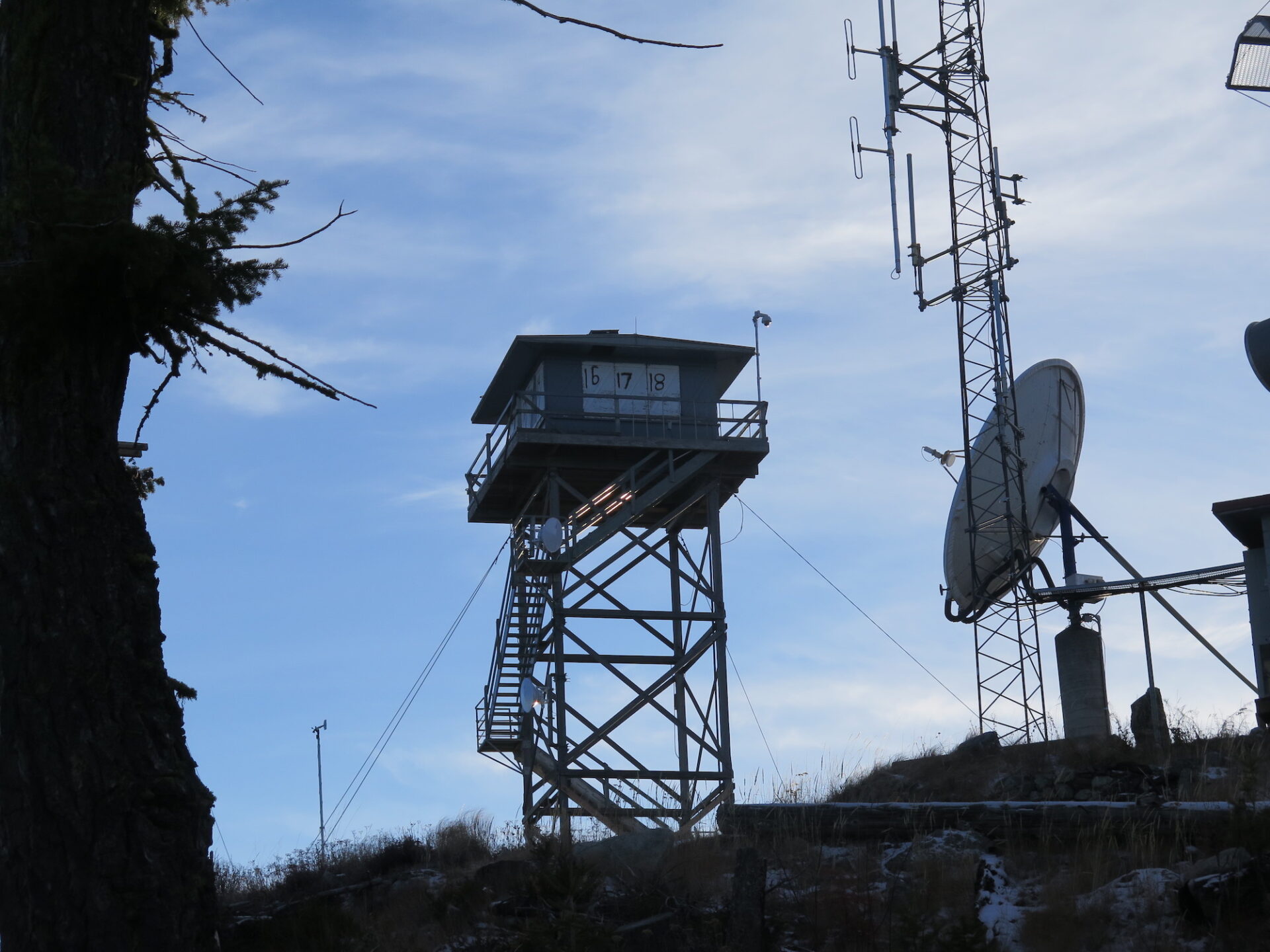
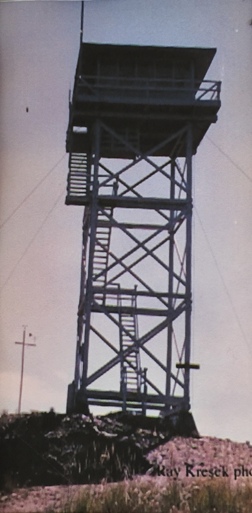
Lookout Type: 42′ DNR tower with 14’x14′ cab
Site Established: 1914
Current Structure Built: 1980
Date Visited: 7/19/16
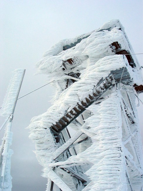
Aeneas Lookout was the longest in-service fire lookout in Washington State, having served 104 continuous summers from 1916 until 2020. Until 2020 it was the last DNR lookout staffed in the State. Sadly, the lookout was removed in November 2024 and no longer stands.
Photos from 2018.
History.
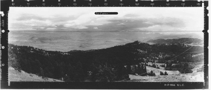
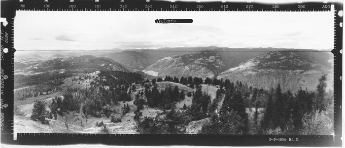
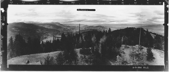
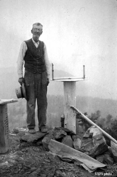
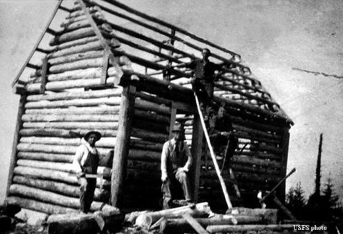
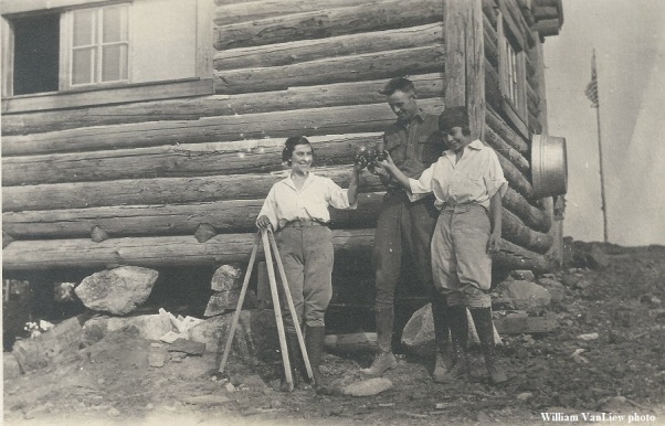
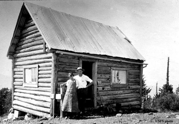
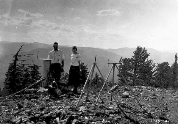
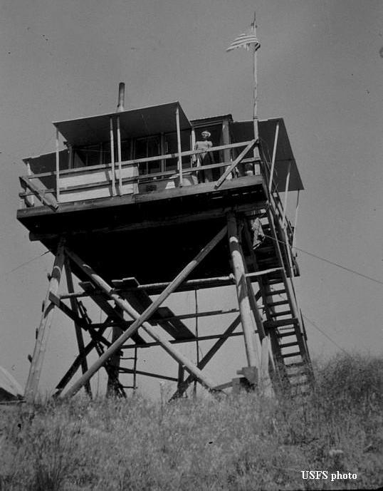
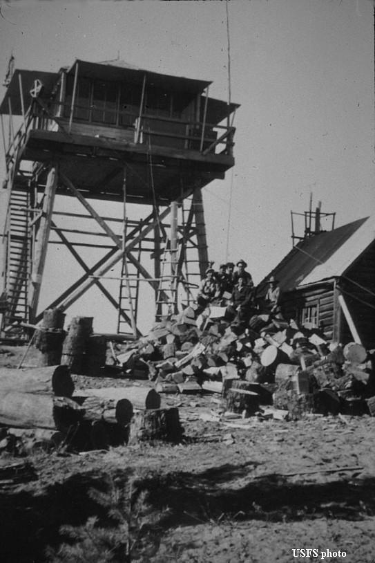
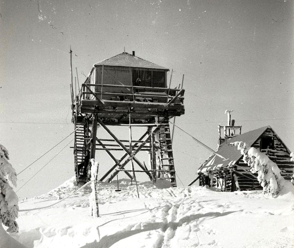
Aeneas was first established as a fire camp in 1914. A log cabin was built on the site in 1920, surviving until 1956. In 1934 the Civilian Conservation Corps built an L-4 cab atop a 20′ pole tower, the same year panoramic photos were taken. Like many fire lookouts in the Northwest, the site was activated as an Aircraft Warning Service station in 1942.
The U.S. Forest Service sold the tower to the Department of Natural Resources in 1954 and in 1955 the tower was staffed by Ray Kresek, well known to many in the fire and fire lookout community. The cab was raised 20′ in 1958, then replaced in 1980 with the existing 42′ DNR style 14’x14′ cab.
Aeneas Lookout was the longest in-service fire lookout in Washington State, having served 104 continuous summers from 1916 until 2020. Until 2020, it was the last DNR lookout staffed in the State. The lookout was removed in November 2024 and no longer stands.
The route.
Distance (RT): 12.5 miles
Elevation Gain: 3,400
Summit Elevation: 5,167′
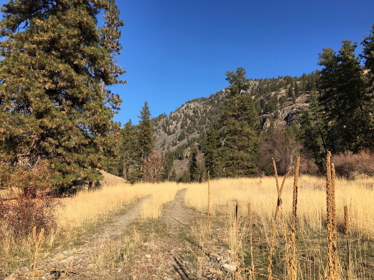
While it might be possible to drive all the way to the top of Aeneas, many have reported issues with road access and private land owners. It seems the main road to the lookout (Lemanksy Road) is DNR owned but access has been controversial. There is an alternate route fully on public lands that approaches from Sinlahekin Road up the northwest side of Aeneas. I don’t mind taking the scenic route to avoid conflict and that’s exactly what I did in 2018.
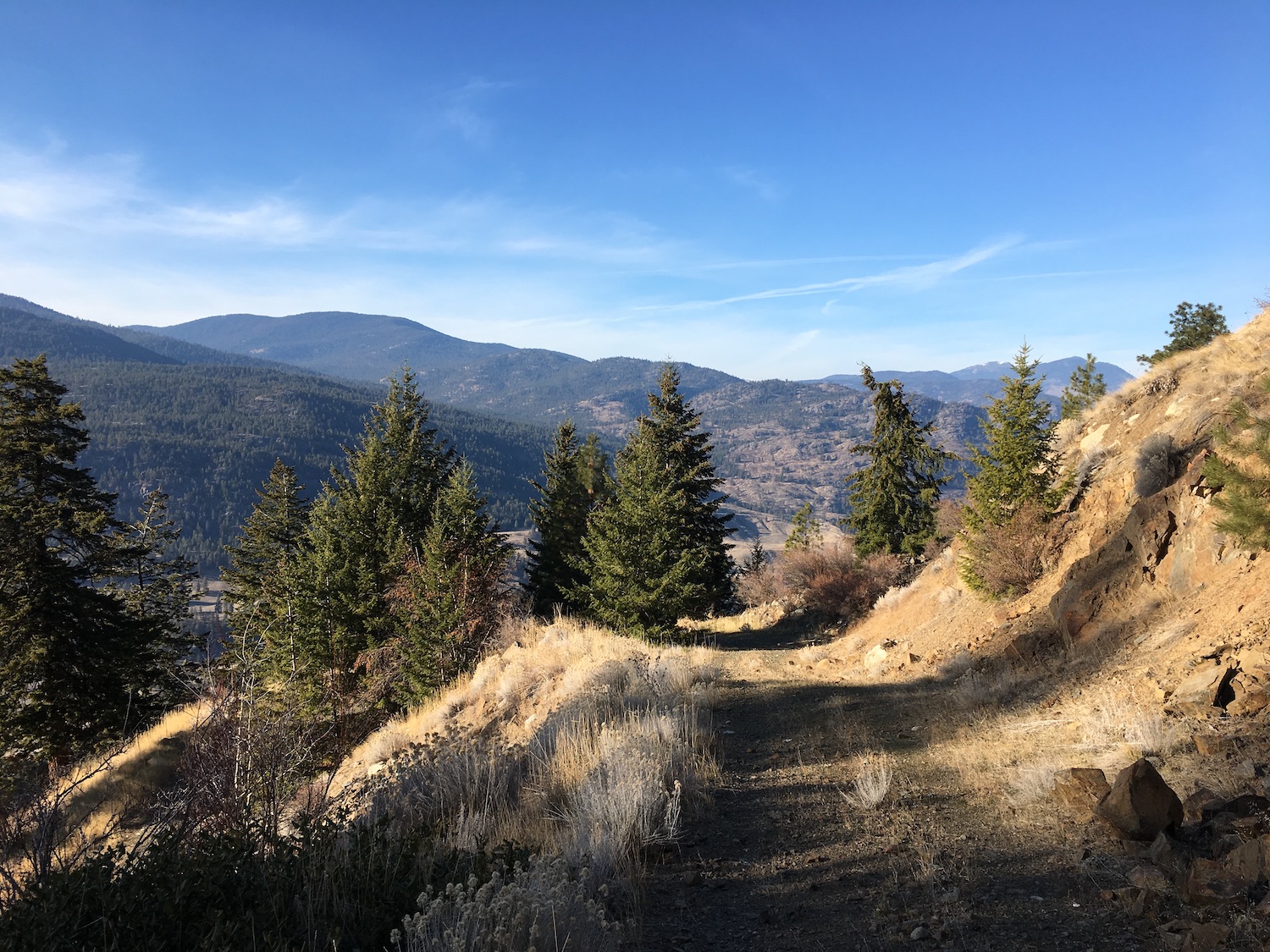
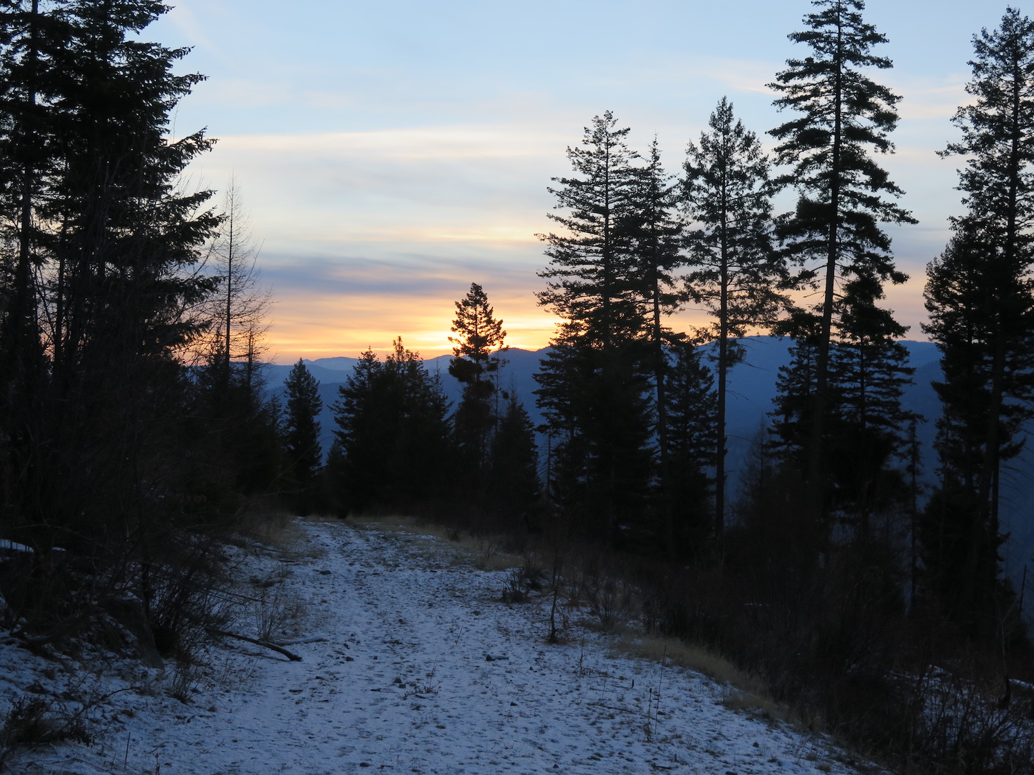
The route up the northwest side of Aeneas is straightforward and follows a road for about 5.5 miles to the north side of the summit. From there, the remaining half mile can easily be followed up the ridge line on game trails. I found the route thoroughly enjoyable and beautiful and would highly recommend it!
Directions.
From Loomis, follow the Sinlakehin road approximately 3 miles south, just past Fire Camp Road and look for a corral on the left. Continue on the dirt road approximately 1.5 miles to a gate with a large parking area. From there, follow the road by foot up the northwest side of Aeneas.
