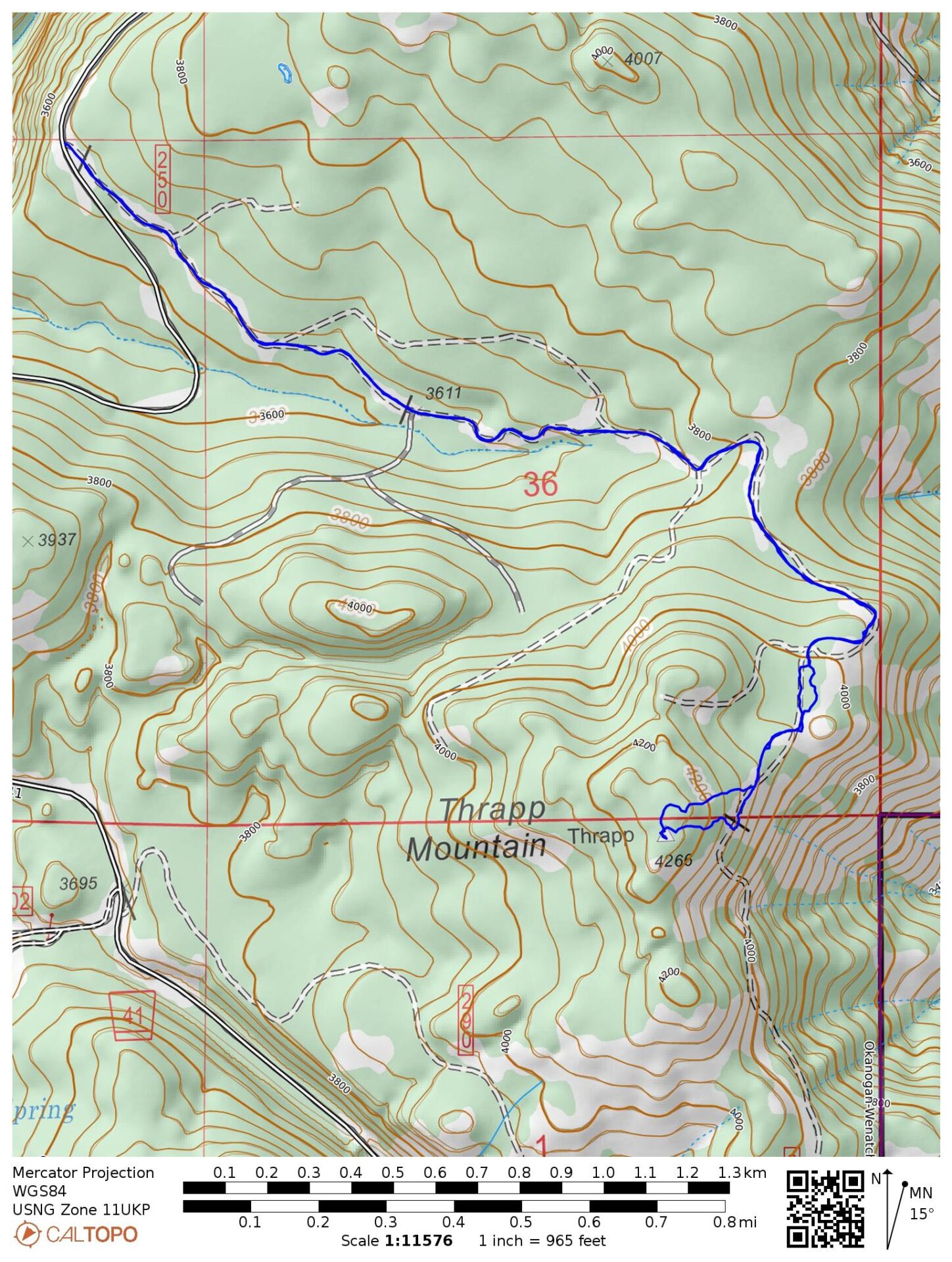
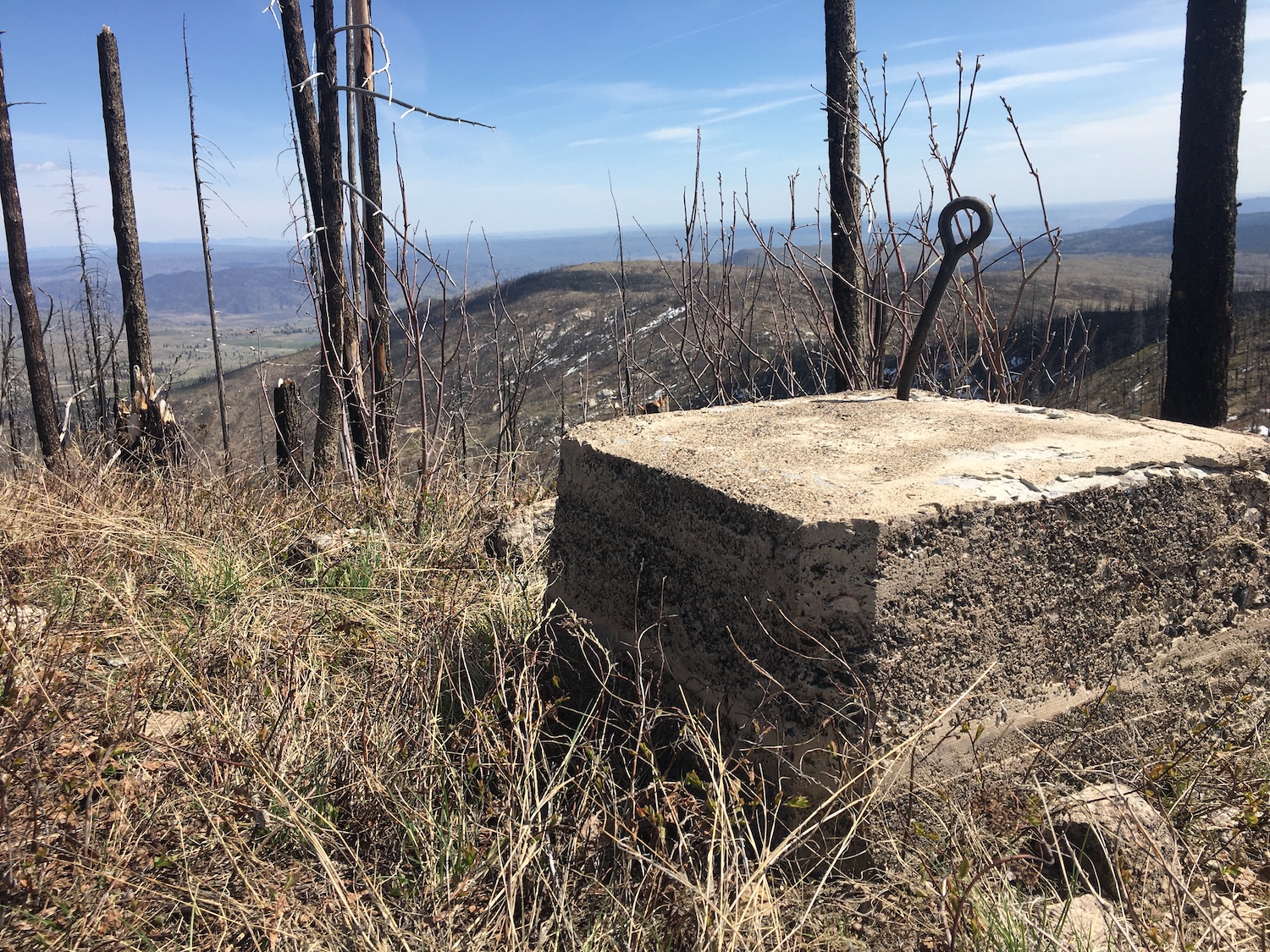
For my lunch break on Friday, I paid a visit to the old Thrapp Mountain lookout site, about 11 miles east-southeast of Twisp. I’ve had this one on my list for a while but after several failed winter ski attempts to nearby Finley Mountain I decided to leave Thrapp until the snow melted.
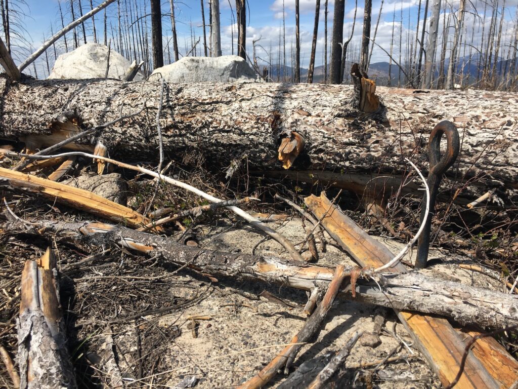
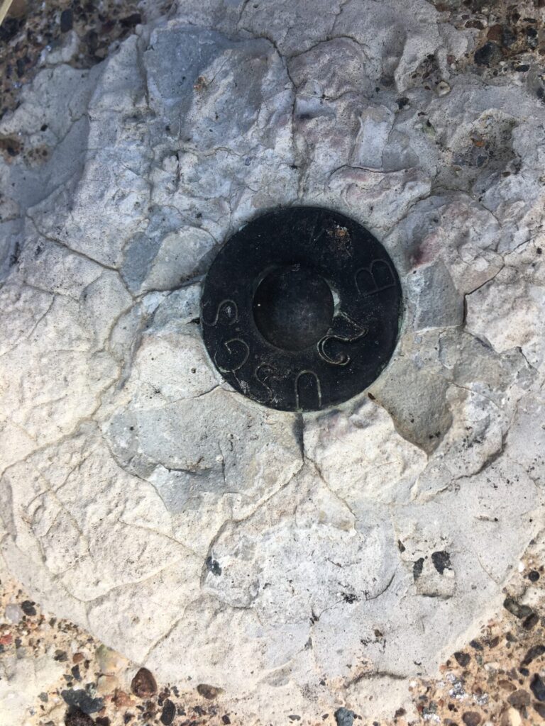
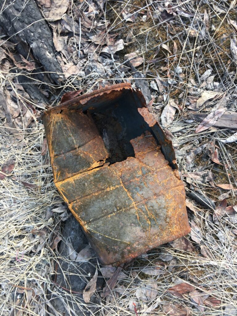
The fire lookout on Thrapp Mountain was established in 1932, then in 1933 a 40′ pole tower with an L-4 cab was built on the summit. The tower was destroyed sometime in 1958 and until the fires in 2014, there were still lookout artifacts on the summit. Now all that is left are four concrete footings with anchors, two of which are buried under deadfall. I haven’t been able to dig up much history on Thrapp other than a mention in the now retired Methow Grist that Ted Healam was the fireman/lookout up there in 1932.
If you know any history about Thrapp Mountain, drop me a comment or shoot me an email. I’d love to hear it!
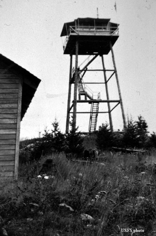
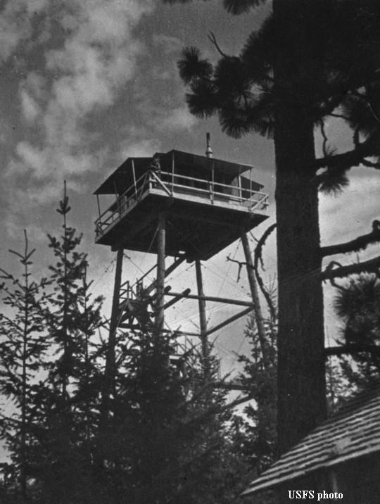
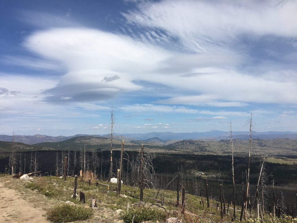
A huge area of forest from the head of Finley Canyon all the way to Thrapp burned intensely in the 2014 Carlton Complex Fire and the tree mortality was incredibly high. So many trees were so badly burned that even standing dead snags are few and far between now. Panoramic photos taken from the Thrapp fire lookout in 1934 show a beautiful forest very different than the charred, burned landscape that exists today.
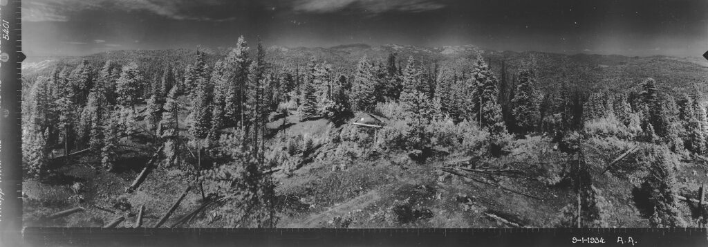
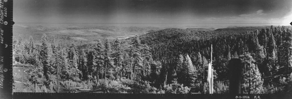
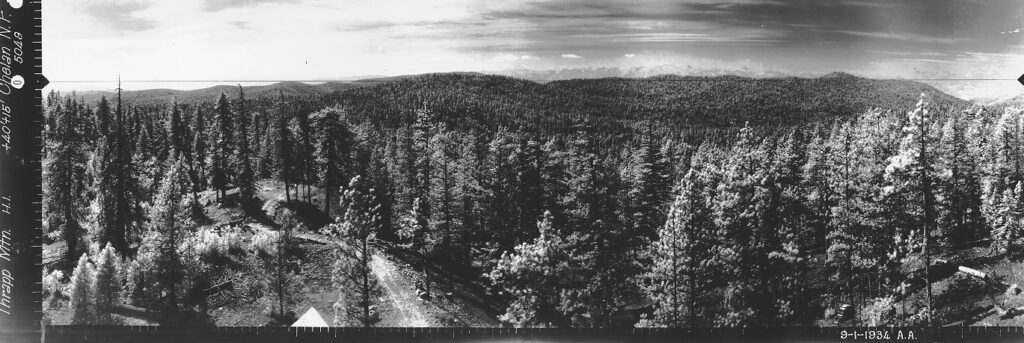
The easiest way to visit Thrapp is by turning onto NF-41 near the Loup and driving about 6.5 miles to the intersection of Forest Road 250 on the left. It’s possible to continue on NF-41 and use Forest Road 250 on Thrapp’s south side, though I can’t speak to the condition of that route. I chose to park at the NF-41/250 intersection to the northwest of Thrapp and walk the mostly easy 2 miles east and then south to the summit. I say mostly easy because while the forest road itself is in good shape, higher up near the summit the road disappears into a mess of underbrush and deadfall and the last 100′ or so to the summit requires a little bit of bushwhacking.
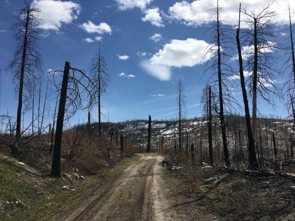
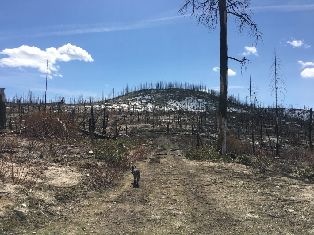
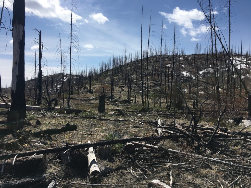
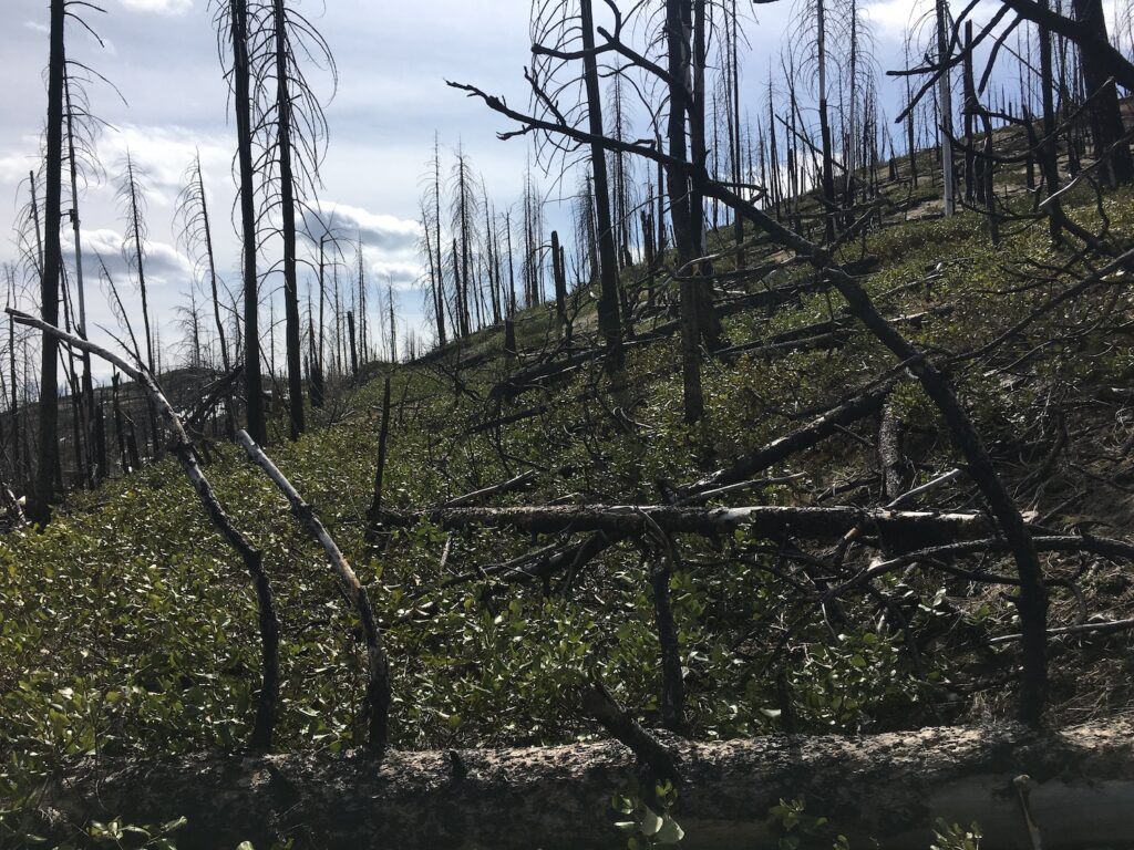
These days I’ve been giving bushwhacking it’s own rating scale and I consider Thrapp an easy class 1/2 shwhack. The deadfall and underbrush are pretty easy to navigate, especially early in the season. In fact, anyone with a reasonable vehicle could probably drive the mile or two on Forest Road 250 and park right below Thrapp, though that might not be the case all the time.
On my recent visit the road was pretty passable though with all the burn damage, driving is risky. I much prefer to park and walk, but if I were driving I’d certainly bring a saw and not visit on a windy day.
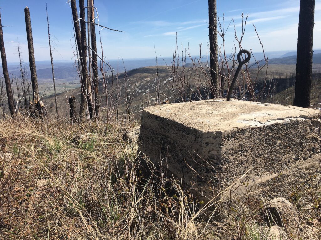
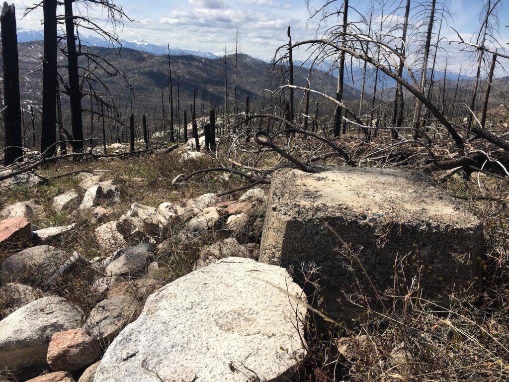
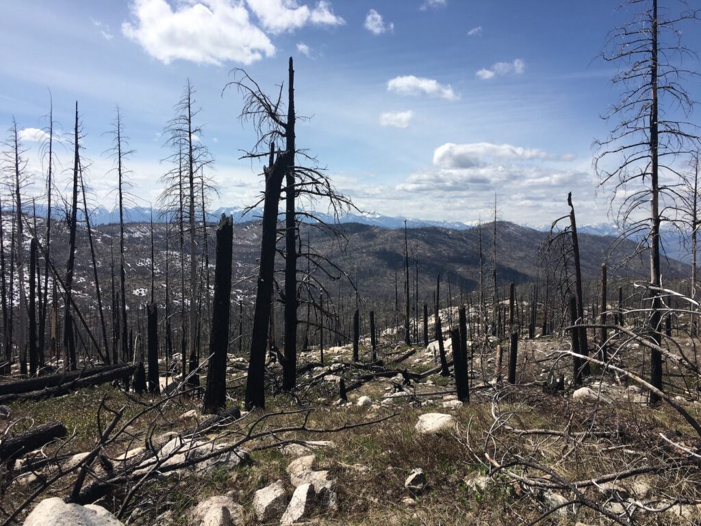
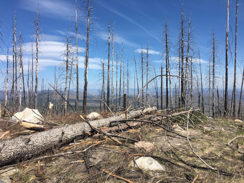
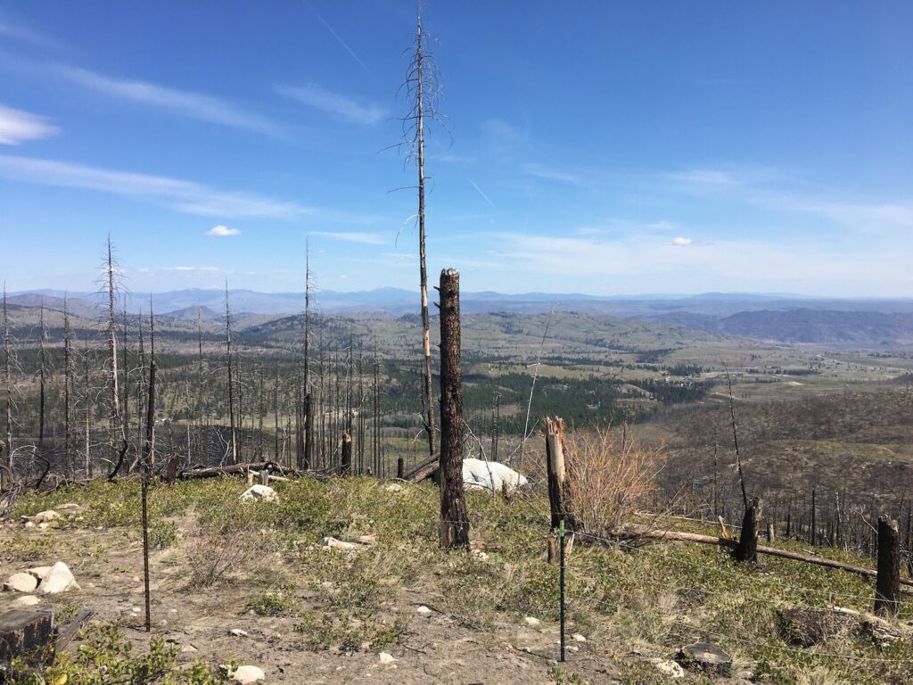
Thrapp certainly isn’t one of the most photogenic fire lookout sites and views to the west and south are mostly blocked by standing snags. It’s still a worthy objective though and I love visiting new summits, especially when they’re old fire lookout locations. I’ve been to some incredible viewpoints and others that left a lot to be desired but either way, I never consider a day spent outside a bad one.
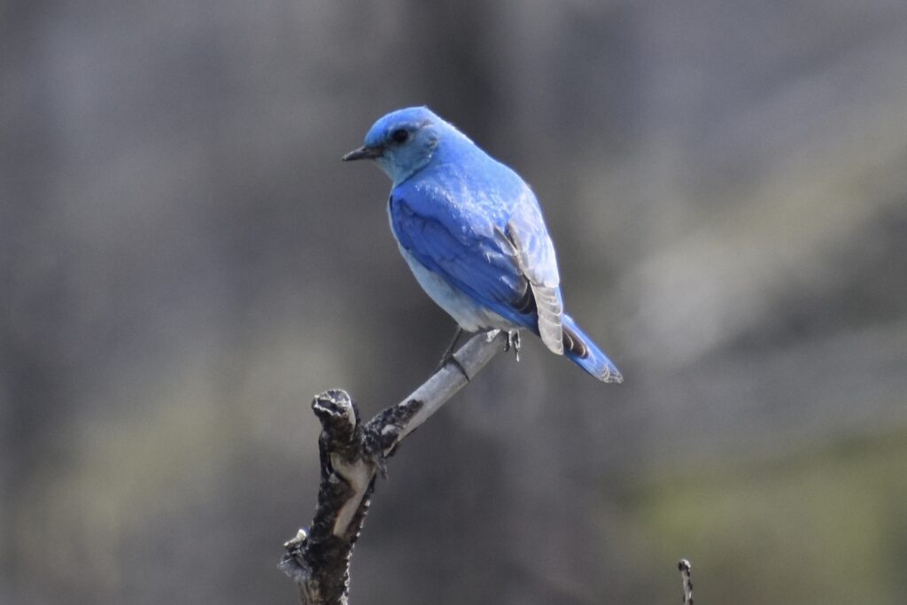
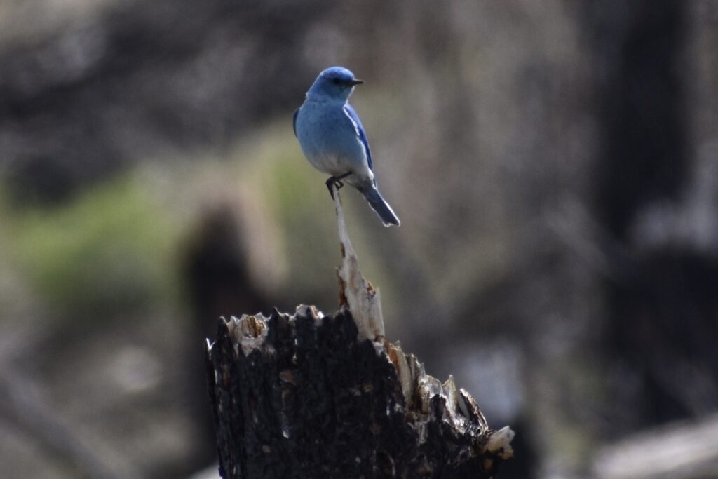
Indeed, what really stole the show on my trip to Thrapp? Beautiful mountain bluebirds flying from snag to snag, adding brilliant color to an otherwise charred landscape. If nothing else, it’s a somber reminder of the power of Mother Nature. I also enjoyed a spectacular cloud show!
Date Climbed: 4/23/21
Distance (RT): 4.4 miles
Elevation Gain: 704′
Summit Elevation: 4,266′
