I recently saw a social media post by the Washington Trails Association that said: “It can be a bummer when you find the perfect hike in WTA’s Hiking Guide only to realize the most recent trip report is from months (or years) ago.”
Hahahaha.
I only laugh because very few places I go are in the WTA’s “hiking guide”, which means most of them have zero trip reports. I like it that way! I like to discover things for myself, which means sometimes I don’t always get where I’m going. Other times I end up with a bonus unplanned summit, sort of like my visit to Muckamuck Mountain over the Memorial Day holiday weekend.
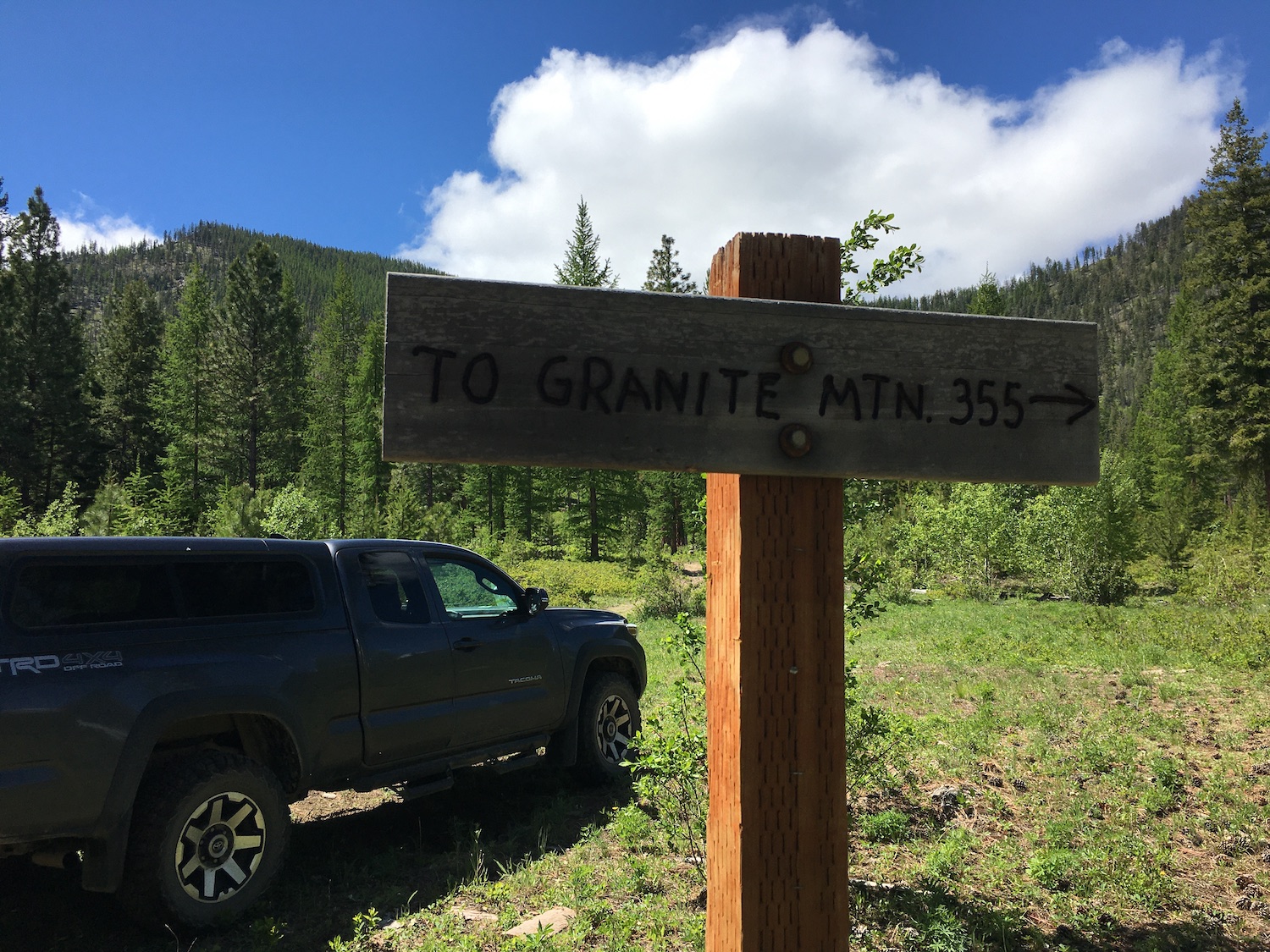
I hadn’t actually planned to go to Muckamuck at all. I had driven out to the Conconully area to attempt Granite Mountain, a 7,371′ peak that was also a former lookout site. I thought 7,000′ might be a lofty goal for this early in the season but figured it would keep me away from crowds.
I was right on both counts.

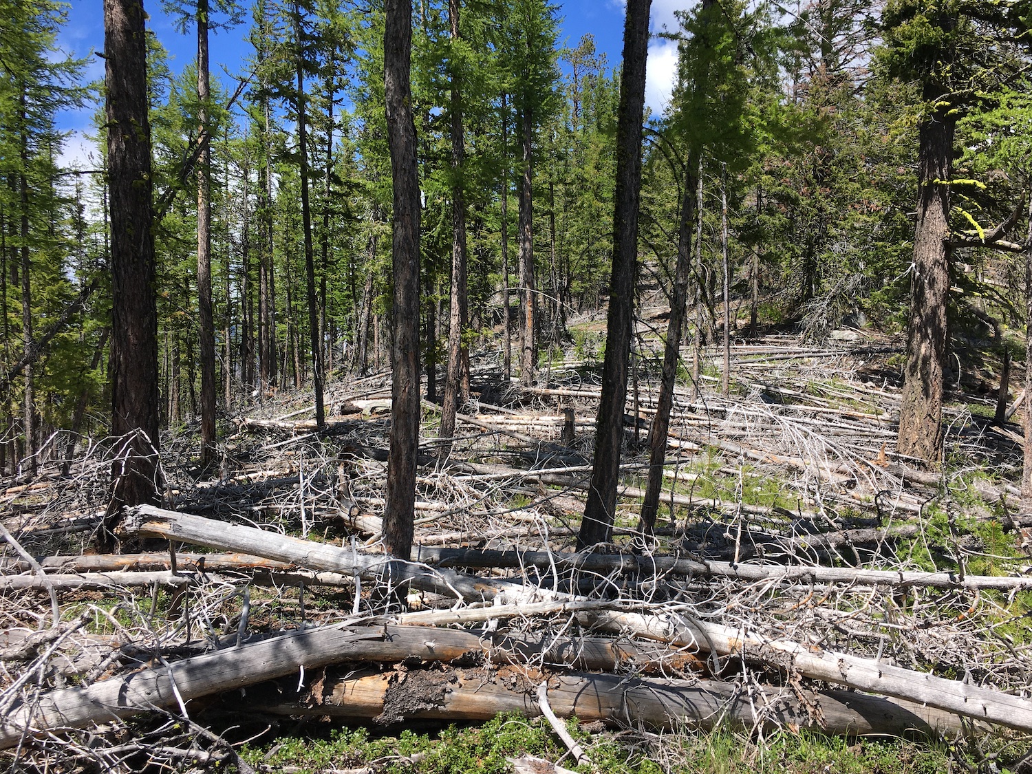
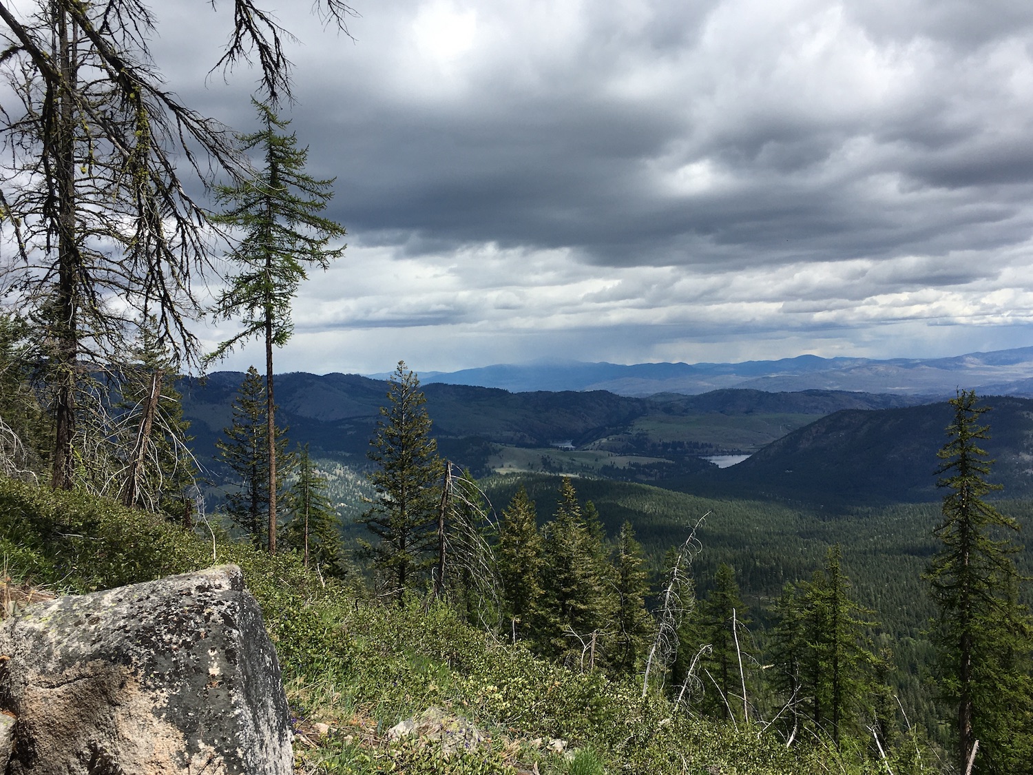
I attempted Granite on an old trail from the east but above 5,000′, Granite’s east face is still significantly snow covered. The reason I didn’t make it though was more because of high winds. The trail winds through a burned area with significant blowdown. My least favorite thing besides ladders is hiking in a burn area with tons of tree hazards on a windy day. Eeeek.
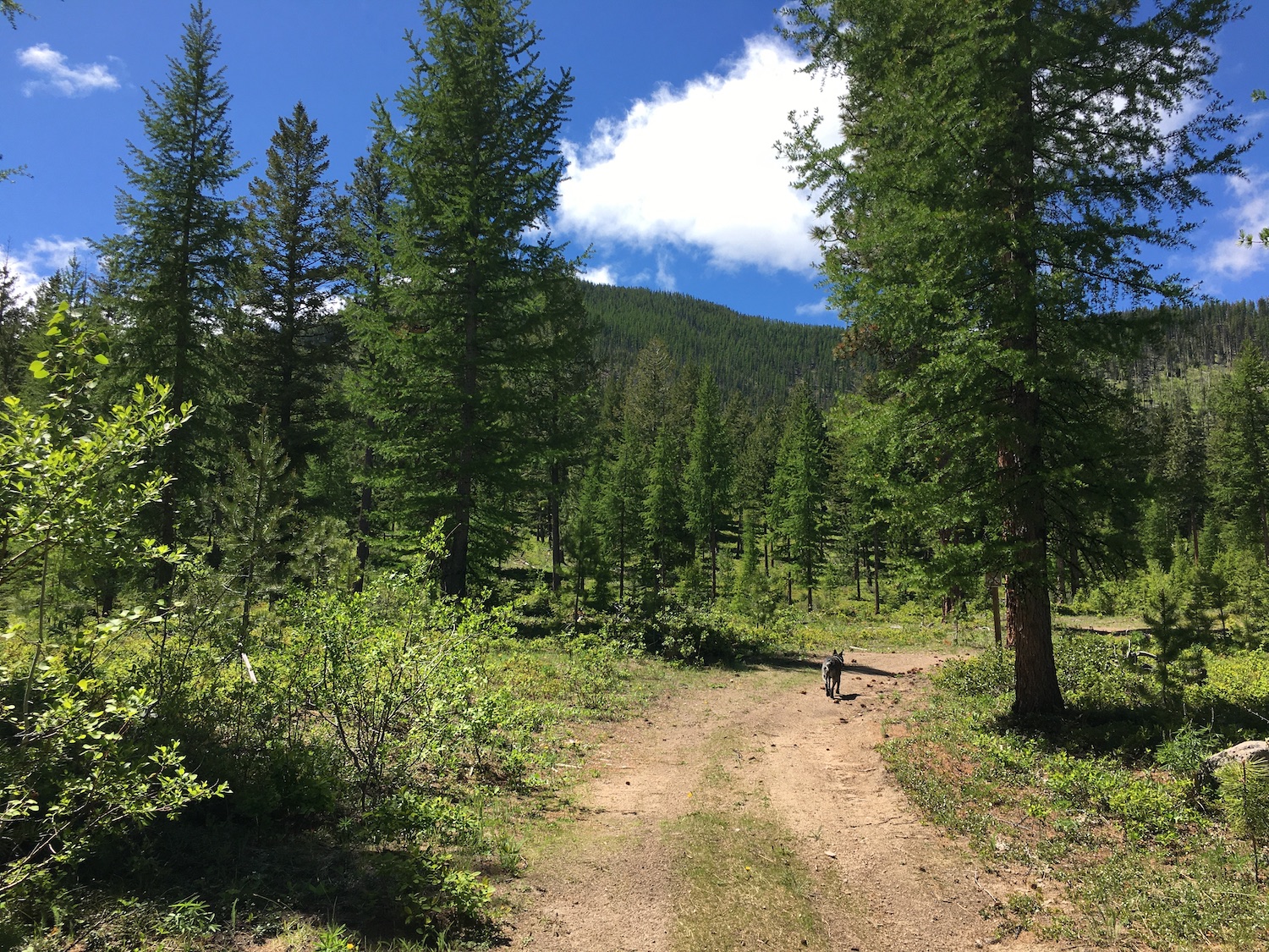
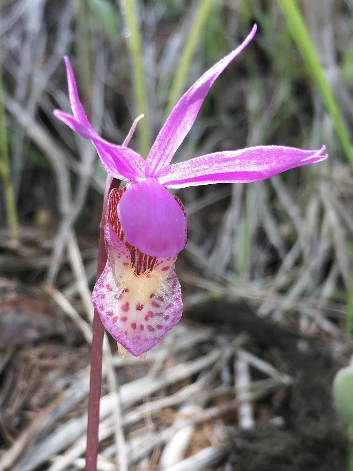
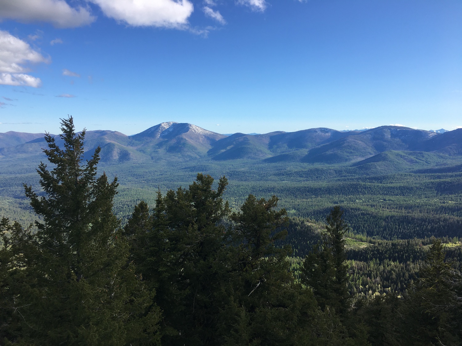
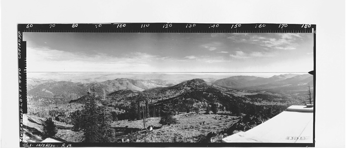
I made it a mile and a half to the saddle of a ridge to the east of Granite and instead of continuing, took a short detour along the ridge through a mess of tangled blowdown to the summit of Little Granite. I considered it a consolation summit and the views of Conconully were nice. Best part of the hike though? Not getting hit by a tree and finding beautiful calypso orchids along the trail! I’ll certainly return to Granite on a far less windy day.
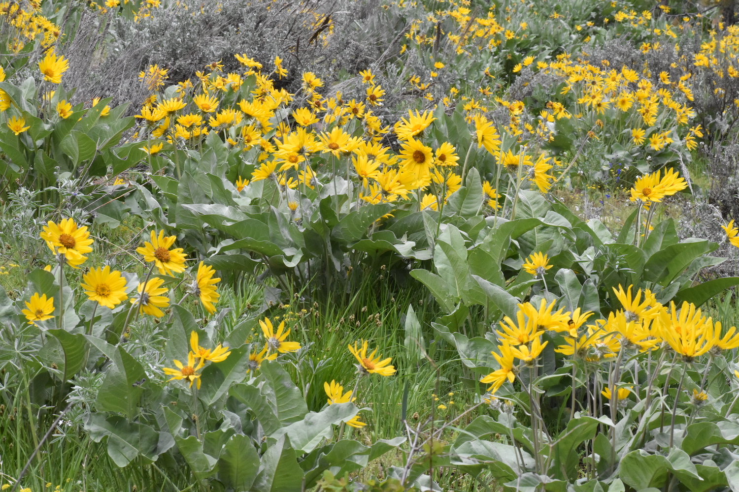
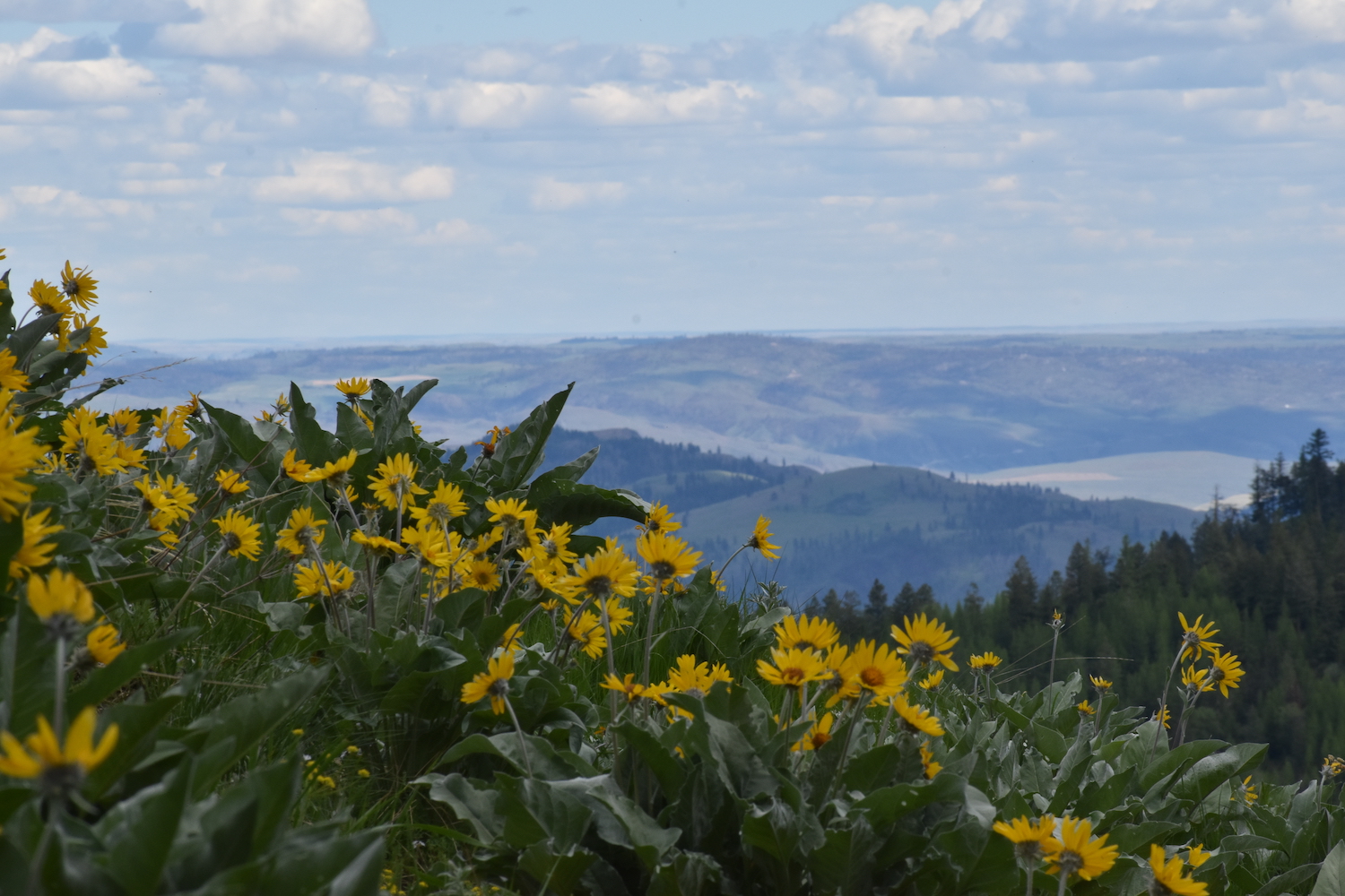
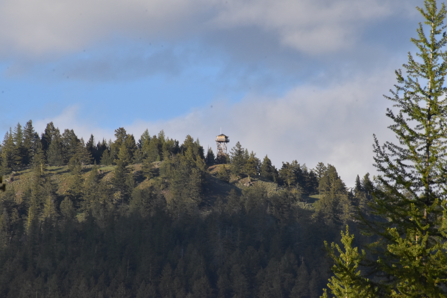
Once back at my truck I looked at my maps and realized Muckamuck wasn’t far on forest roads, so I headed north out of Conconully, then west on Forest Road 25 past the Oriole Campground to scope out conditions. The road was in surprisingly good shape. I took a quick stop near Muckamuck Pass for a short cross country hike to Muckamuck Hill (4,629′), hoping to get a nice view over to Muckamuck Mountain. Muckamuck Hill turned out to be a nice little bonus summit with lots of balsamroot and lupine in bloom as well as a mighty nice view of Funk Mountain lookout to the east.
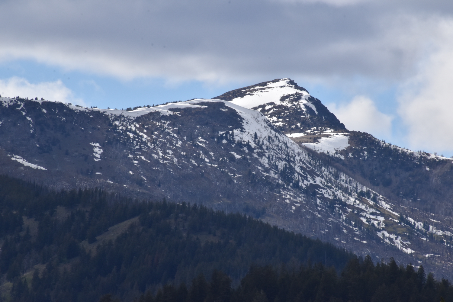
From the top of Muckamuck Hill I could see that Muckamuck Mountain wasn’t far, mostly snow free, and generally wide open terrain. Old forest service maps showed a trail on Muckamuck’s east flank that crossed a fire road roughly 1,000′ below the summit, then continuing on to another road approximately 500′ lower. The day was getting late but I figured what the heck, if I could drive up to the higher road I’d have an easy hike to the summit.
I continued on Forest Road 25 to near Sophy’s Meadows, then turned steeply upward on an old jeep trail, Forest Road 45, which was decidedly rockier and rougher. High-clearance 4×4 needed on this one for sure. I had to squeeze my way through a downed tree that seemed to have been cut only wide enough for an ATV. Somehow I made it with millimeters on both sides.
Pretty near the spot where the old trail supposedly crossed the road I ran into a group of about 8 ATVs, who helped me wedge between them along the side of the road. I chatted with the folks a while, telling them I was looking for an old trail that headed up to the summit of Muckamuck. They seemed a little dubious a trail existed and I’m sure they thought I was a little crazy. Then suddenly one of the guys said “Hey, wait a minute. Are you that fire lookout chick hiking lady? With a blue heeler?”
Wait. Are you kidding me?
“Uh… maybe?” I answered.
The gentleman turned to his friend and said “I read this chick’s blog! She hikes to all these crazy fire lookout sites and towers!”
I have to admit I couldn’t believe it. Here I was in the middle of nowhere outside Conconully and it seemed I had met a secret fan club? Hilarious! I chatted with the crew some more before setting off up the road in search of this old mystery trail. Would it still be there? Was it long gone?
In only a few feet I indeed found an old trail heading up the mountain. I waved down to the ATV crew. “Hey I found the trail!” I said excitedly! They definitely seemed a little surprised and wished me safe travels.
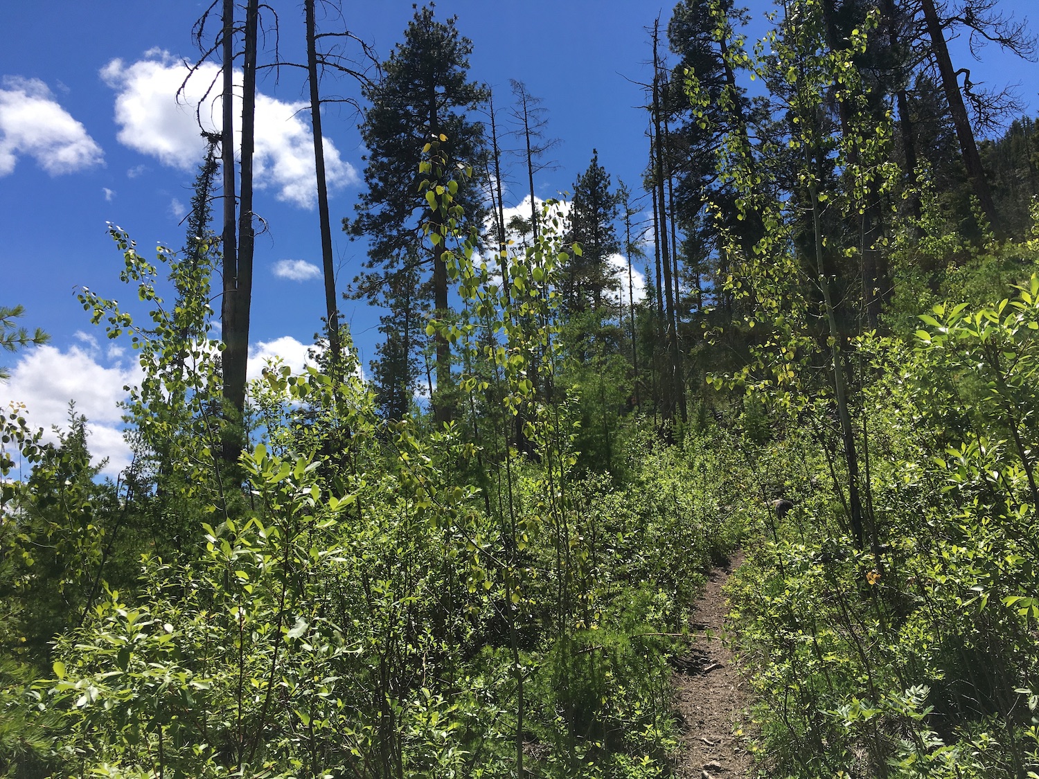
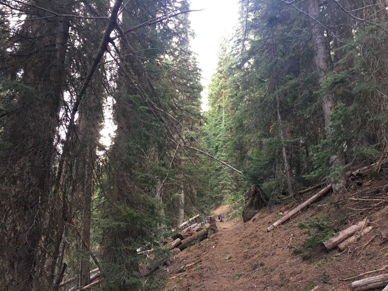
I hiked along, appreciating the ease of an actual trail that almost certainly isn’t in WTA’s hiking guides. It weaved through beautiful old growth forest, slowly switchbacking up Muckamuck’s east slope. It didn’t take long though to hit a lot of big blowdown so I stepped off the trail and went back to cross country travel, straight up the open slopes of the mountain.
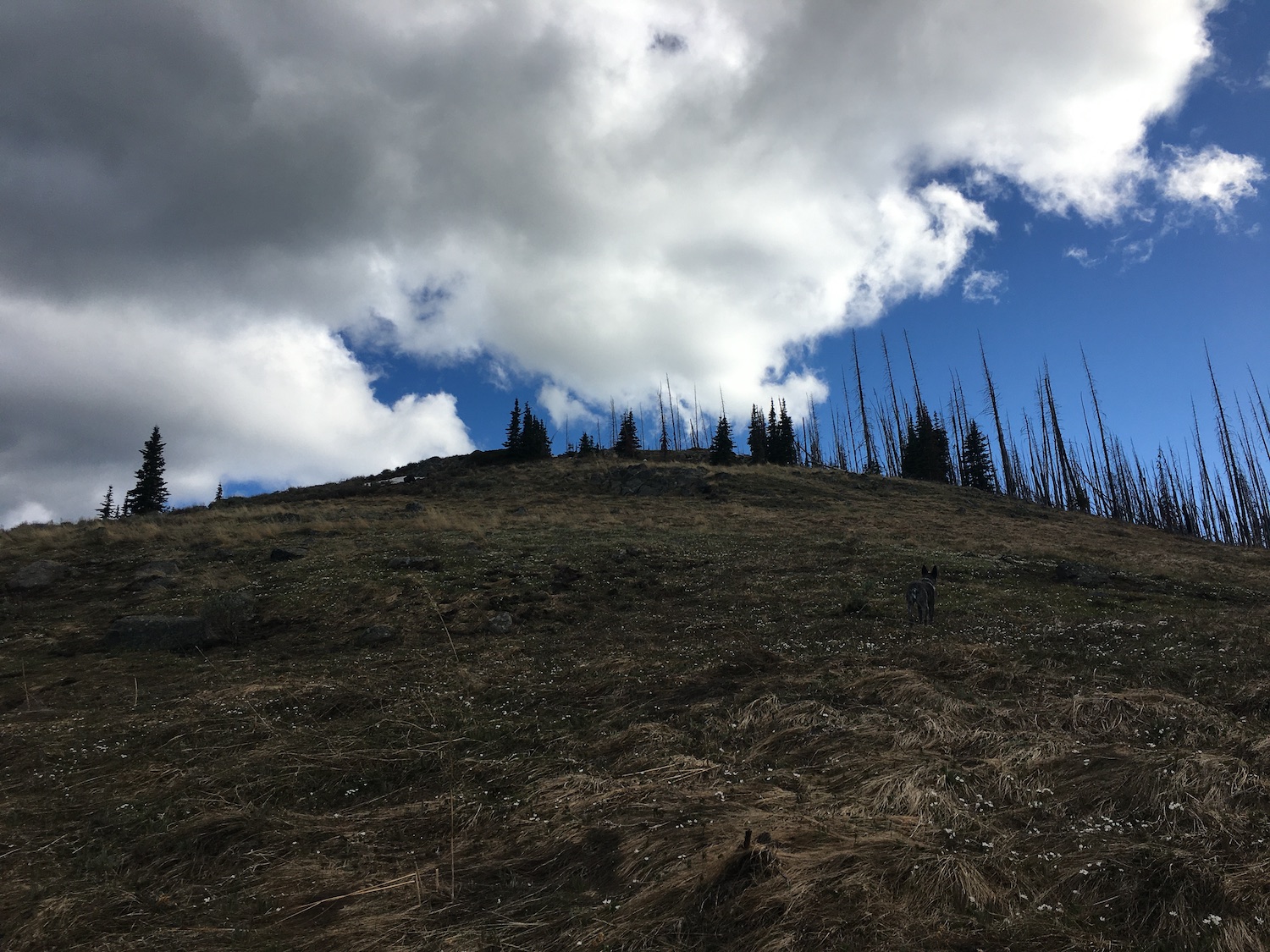
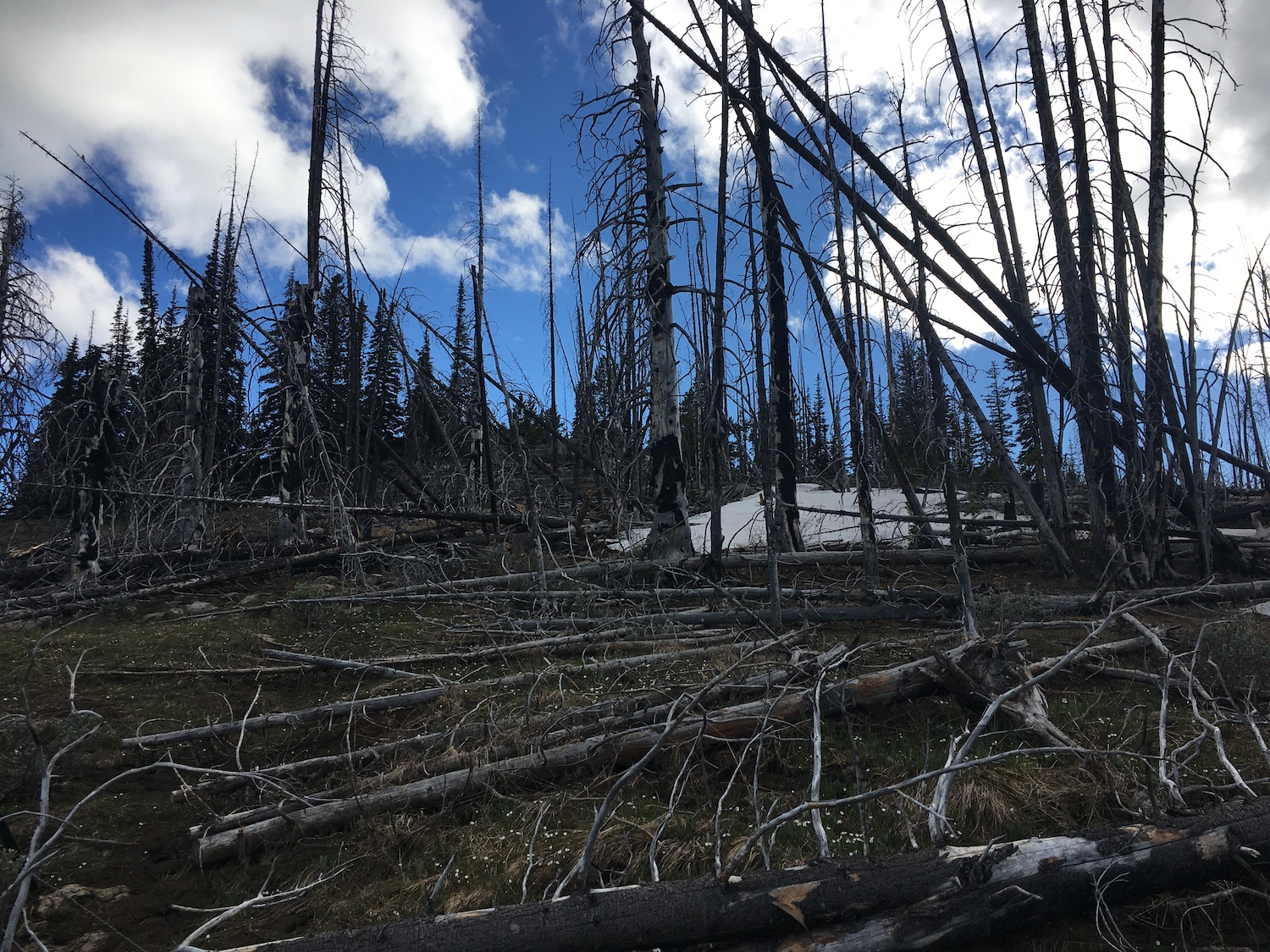
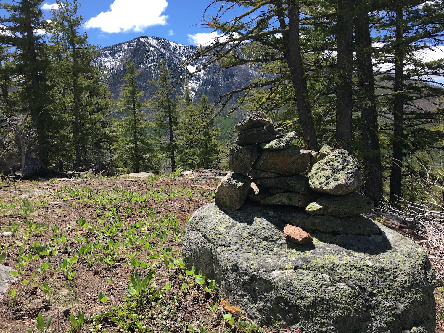
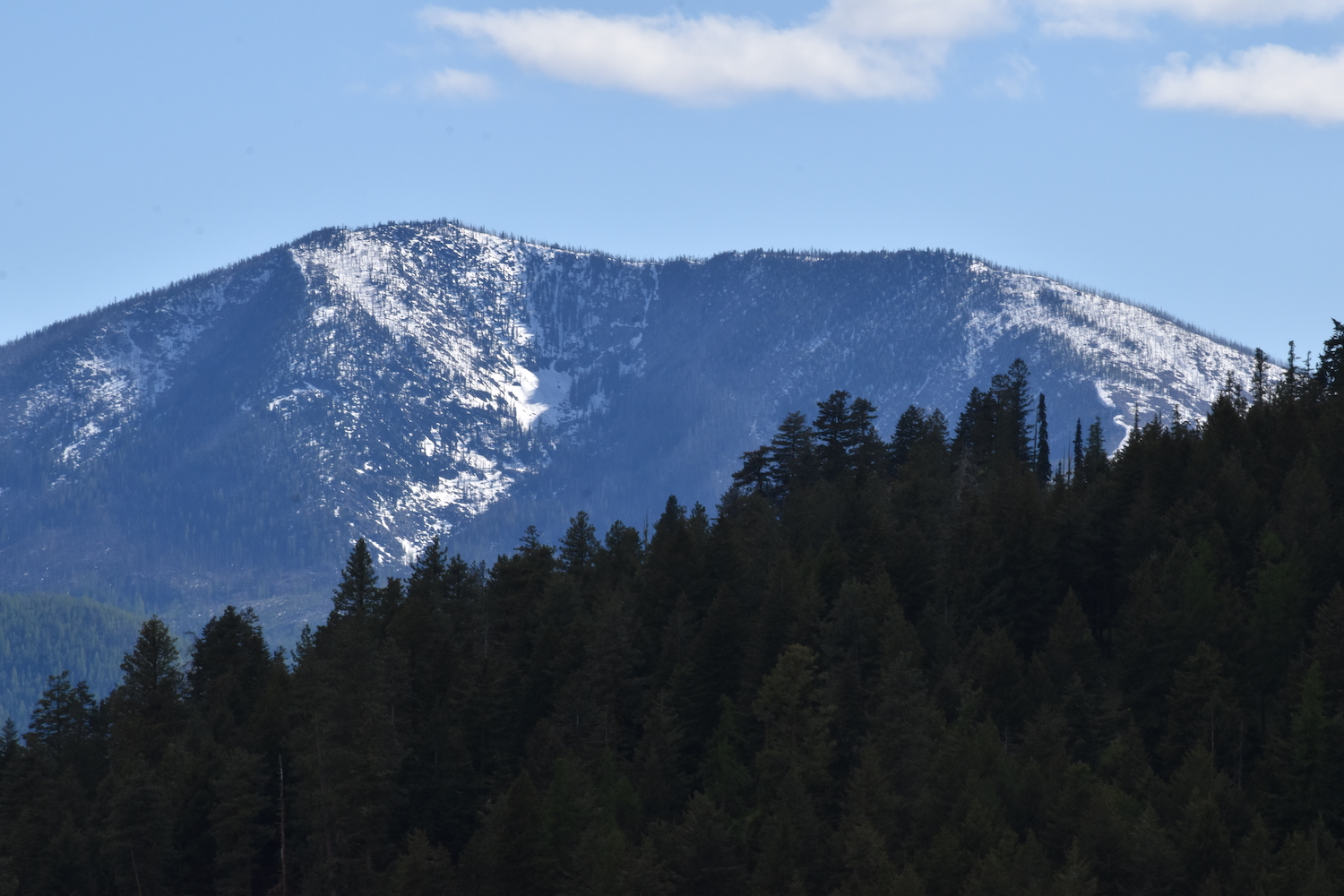
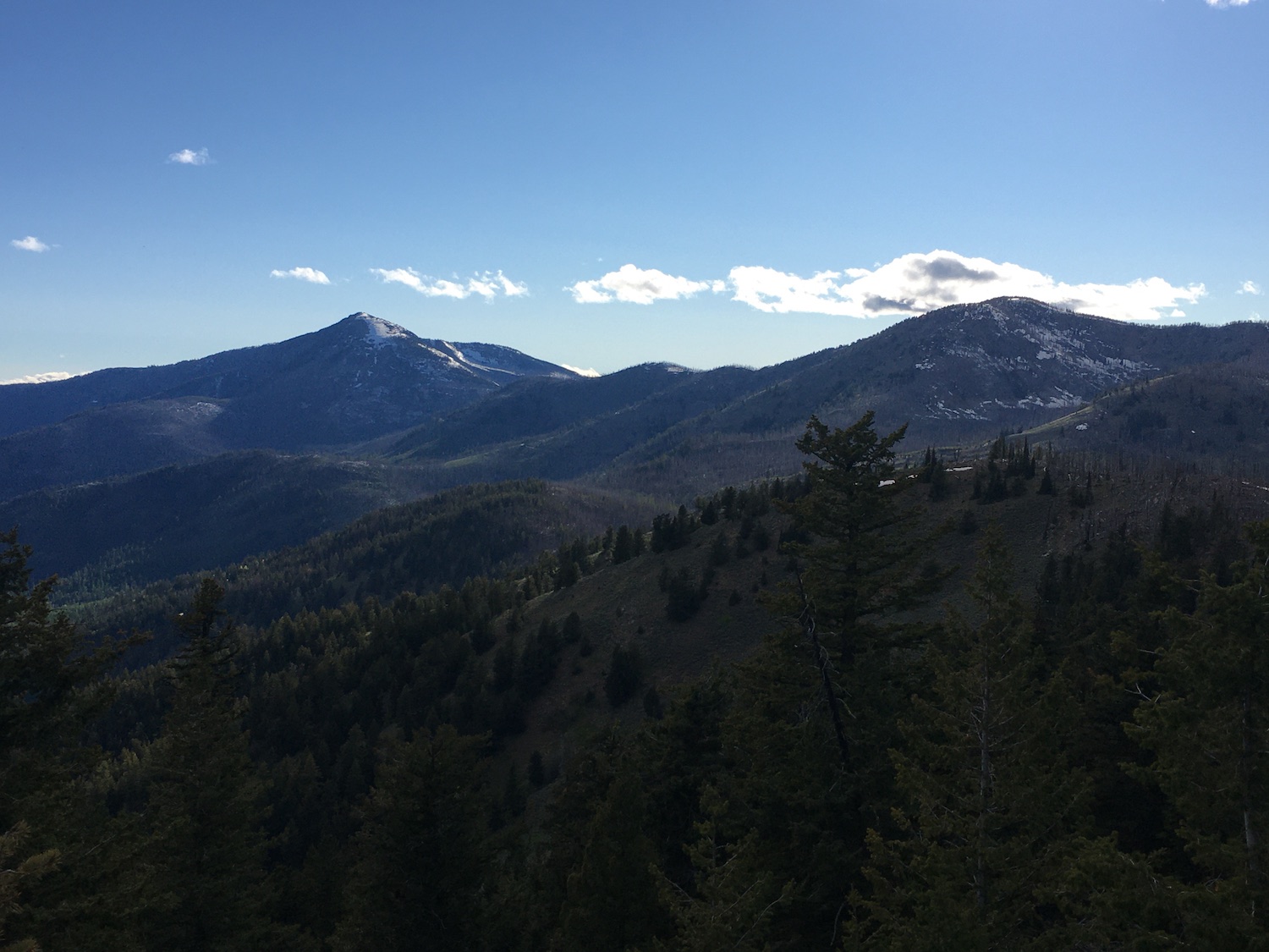
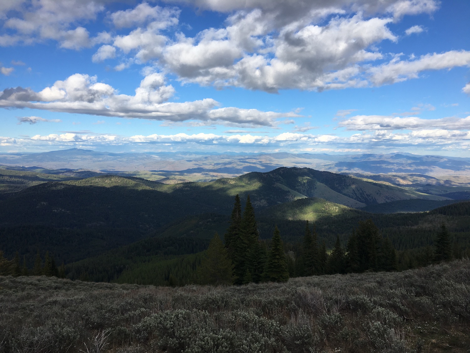
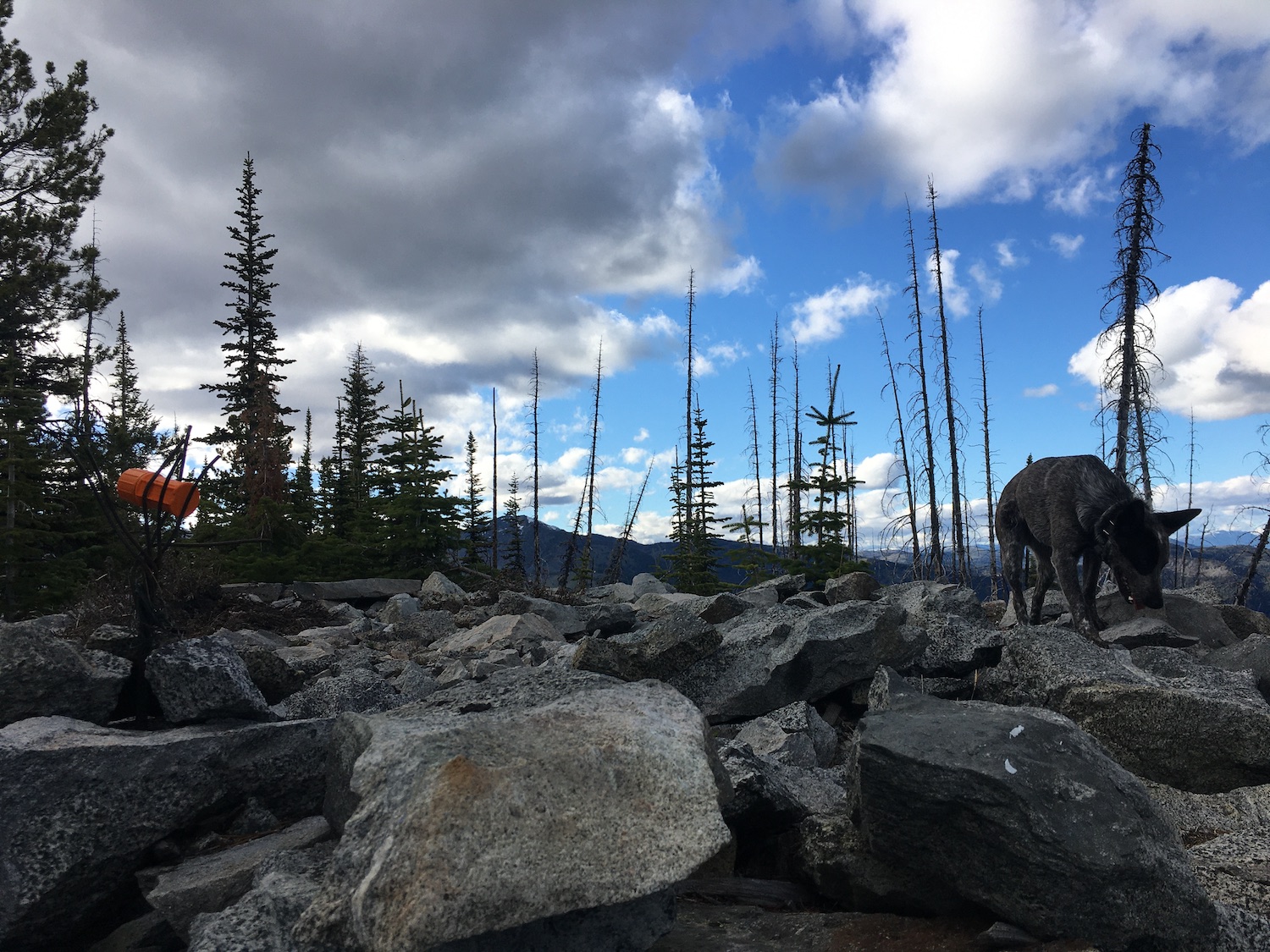
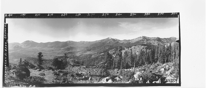
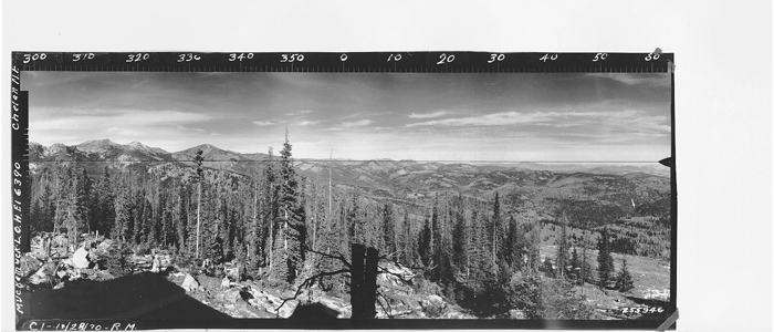
The views northwest over to Tiffany Mountain, Clark, McCay and the surrounding Tiffany Highlands were superb. A few patches of snow lingered near the summit but all were easy to hike around. The summit was an easy climb, though the top is littered with so much blowdown and burned snags that I was forced to traverse around to the south side to make my way up the last few feet.
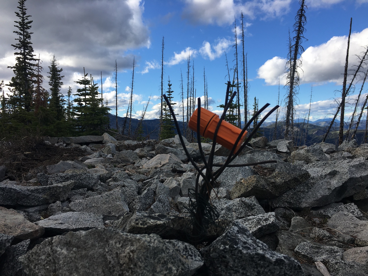
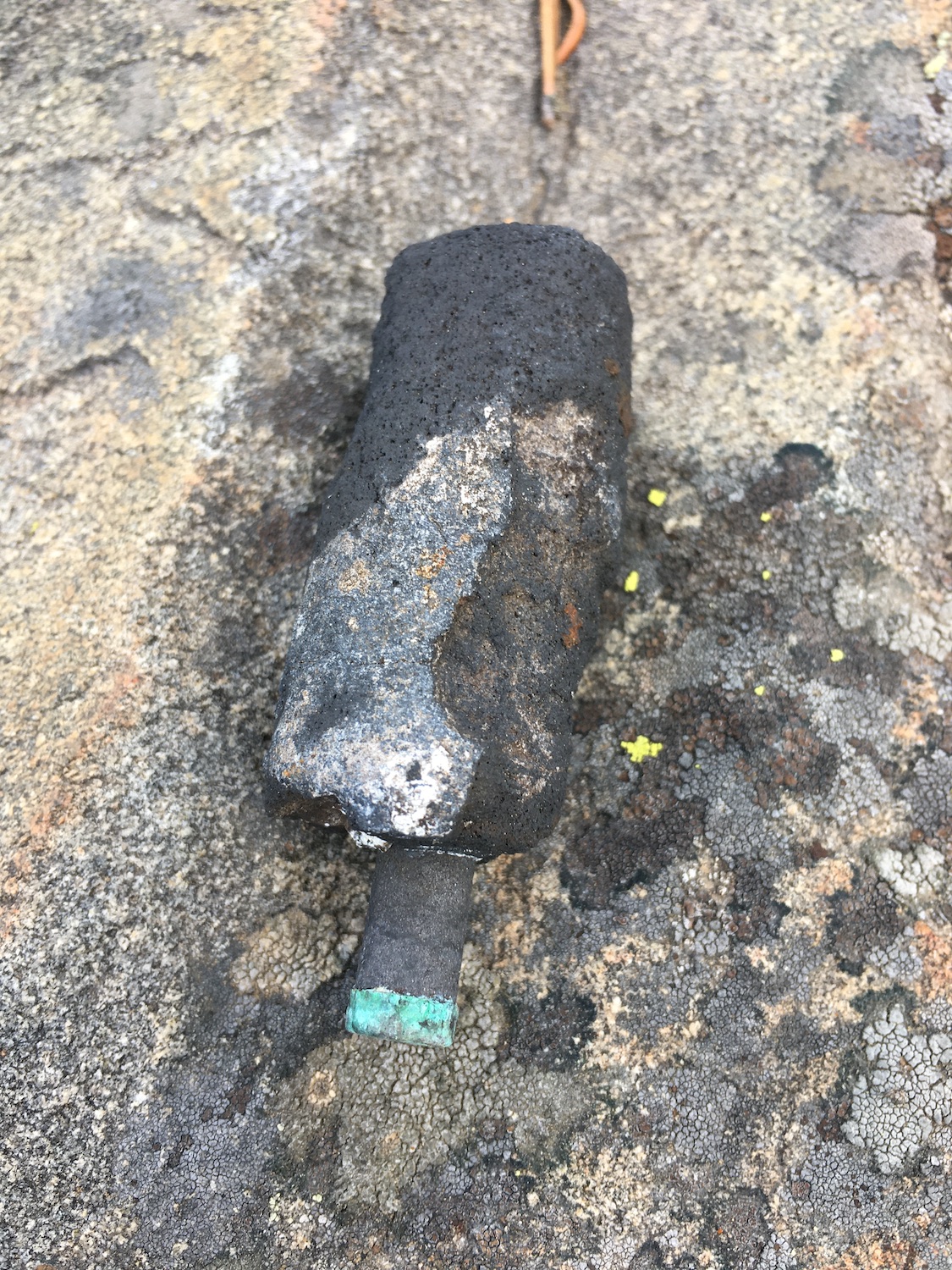
There aren’t many artifacts left at Muckamuck, just a bit of telephone wire and some old rusty cans, but part of the summit was still under a bit of snow so it’s possible I might have missed something. The summit register is enclosed in an orange match case and of course, has the signature of my hero, the famous Fay Pullen. Funny enough I got distracted on the summit and never went back to sign the register. Oh well!
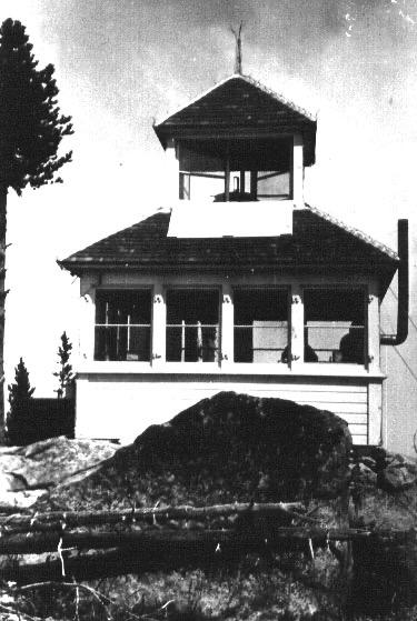
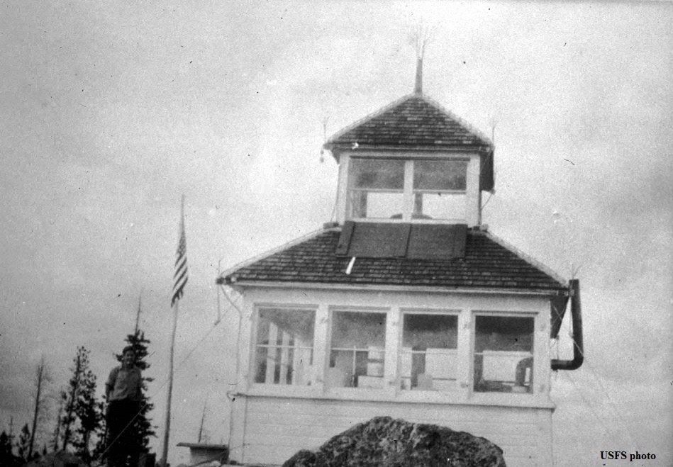
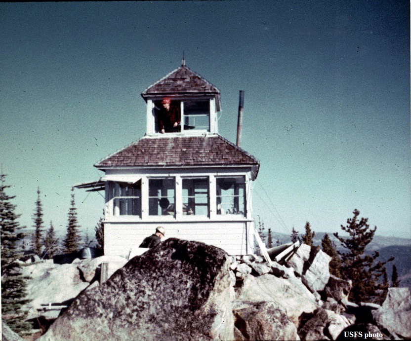
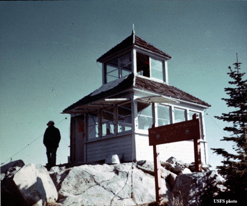
Back in 1922, Muckamuck was home to a little D-6 cupola cabin, one of my favorite types of lookouts! Bert Julian was reported to be a lookout there in 1924 but other than that, not much info is online about Muckamuck. Sometime in 1974 the lookout was destroyed and the D-6 cupola at North Twentymile is one of the last remaining.
As far as the meaning of Muckamuck? The expression “High muckamuck” or “High Mucketymuck” is a corruption of the Chinook phrase “hyas muckamuck”, meaning “one who sits at the head table”.1 The word mucky-muck, means “an important person,” and often “someone self-important.” Usually spelled muckety-muck, or muckamuck, it’s associated with the Chinook jargon of the Pacific Northwest, in which hayo makamak means “plenty to eat.”2 Perhaps Muckamuck was an important Chinook place for foraging?
Date Climbed: 5/28/21
Distance (RT): 2 miles
Elevation Gain: 1,031′
Summit Elevation: 6,370′

1 https://cascadiabioregion.org/department-of-bioregion/your-chinook-wawa-word-of-the-day-hyas