This hike to Hex was an accidental plan B to a day gone horribly wrong but ended up being a surprisingly beautiful outing!
This was the second day of a double-header weekend in the Teanaway celebrating a friend’s birthday. We hiked to Navajo Peak on day one in rainy cold weather and then woke up the next day to clearing weather. Yay! Our plan was to drive to the Salmon La Sac area and hike to Sasse Mountain. There are several approaches to Sasse, all a bit lengthy, but after consulting some maps I found a shorter way to the summit using the Howson Creek Trail right off Salmon La Sac Road/Highway 903.
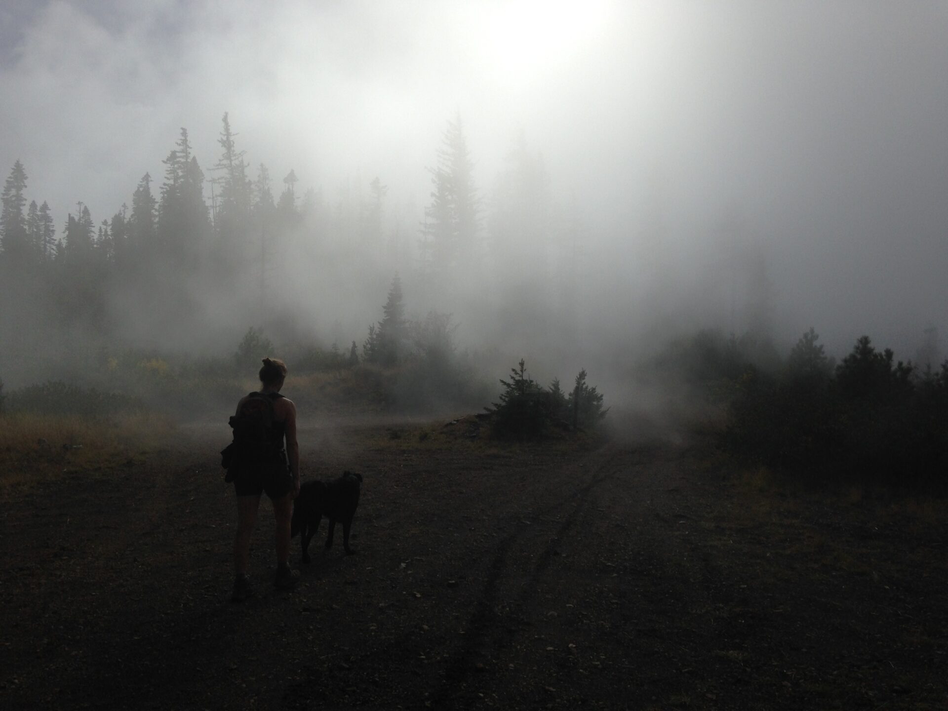
The drive was beautiful with lots of fall color and alternating blue skies and heavy fog. We parked at a large pullout near the Cle Elum Campground directly across from where the Howson Creek trail was supposed to be, except there was no trail.
Hmmm. No trailhead sign anywhere. No trail anywhere. I turned on my Green Trails GPS app and the “You are Here” marker showed we were exactly where we needed to be. We decided the old fire road across from us must be the trail and that maybe the trailhead sign was gone or further up the road.
As we ventured up I watched our position on my GPS map and things seemed ok until the road started turning away from where we were supposed to go. Maybe this isn’t it? We backtracked to make sure we hadn’t missed something. Then we drove up and down the road. While scouting we were witness to a drag race of about 40 big old Ford trucks with American flags and dogs hanging out the back. F*** yeah ‘merica!
Perplexed, we returned to the forest service road and saw someone driving out, so I drove the Jeep up to see if there was a trail up there somewhere. It was a great idea until the road got so brushy and narrow I was forced into a 50 point turn where a boulder and a broken tree stump did some damage to my front grill and rear fender. Oops.
Then my friends decided to jump on my runningboards for a ride back down the road until… crack! That took care of a running board.
Oh yes, it’s one of those days. Thank goodness for good ‘ol Jeeps!
Being short on time with absolutely no idea where this Howson Creek Trail was, we made a plan B. I remembered reading about Hex Mountain, on the same ridge as Sasse but directly south. Just like Sasse there are several ways to approach it. I pulled up Hex on the map and off we went, hoping we could actually find this trailhead!
We turned up the Corral Creek Road a few miles south on 903 and followed the signs to Hex and Sasse Ridge. The lower Hex Mountain trailhead is easily accessible from Road 118. Road 125 gets you a little higher access but with the hike already being a short 5 miles we didn’t want to make it too easy.
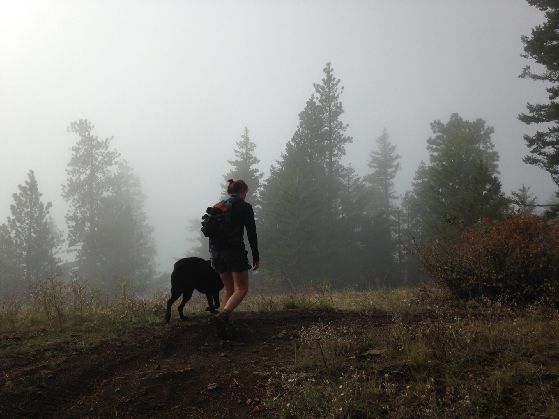
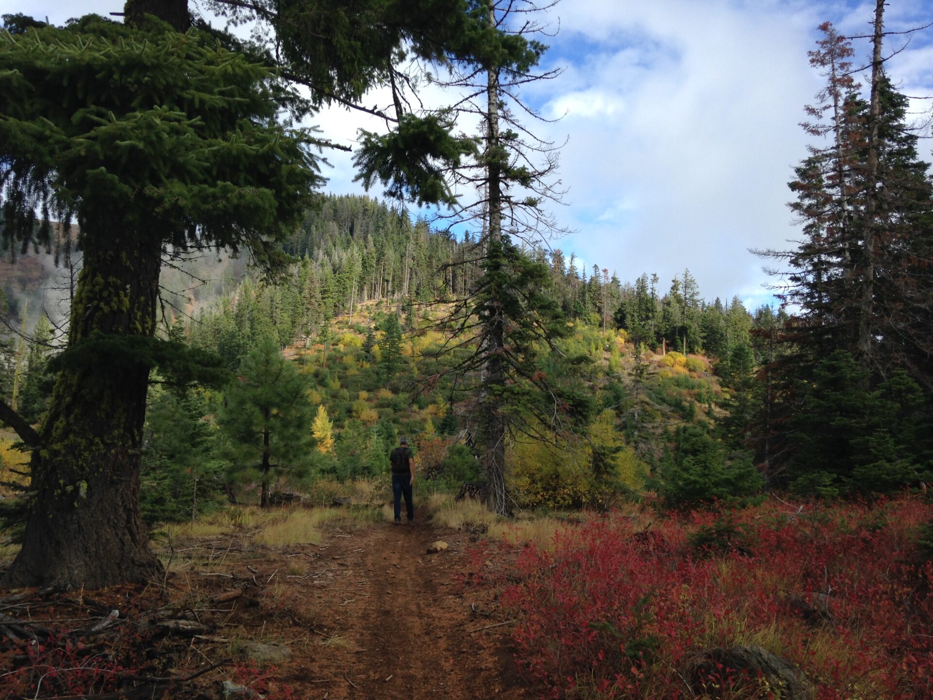
The climb up the trail has some amazing views over to Cle Elum Lake. We were pleasantly surprised! It’s obvious from the trail ruts that motos frequent the area but we didn’t see anyone today aside from a hunter and his kids who we chatted with for a bit.
Most of the trail climbs steadily and not surprisingly for the area, there is a “junction” just below the ridgeline to Hex that isn’t really marked. One way goes down and the other goes up. Staying on the obvious moto ruts and trail is generally the way.
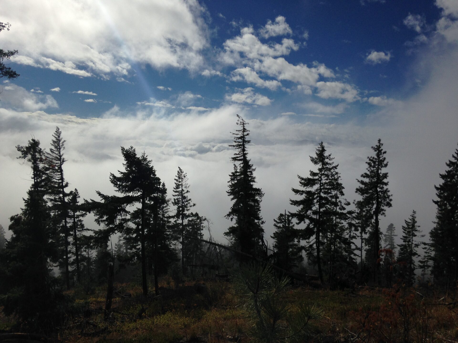
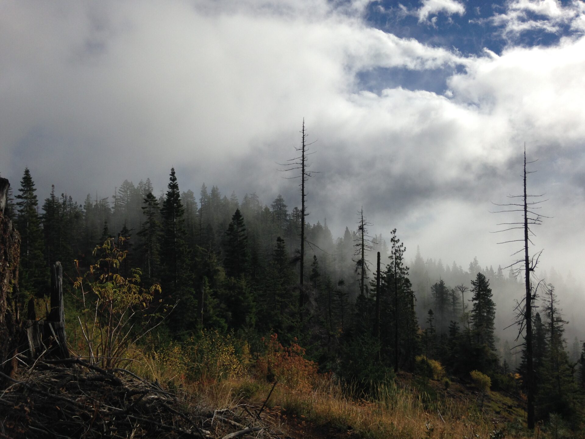
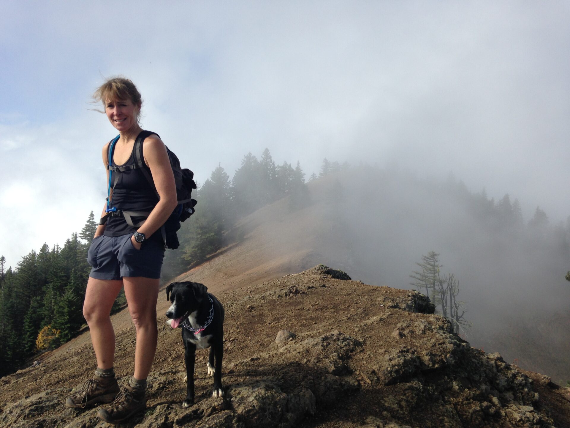
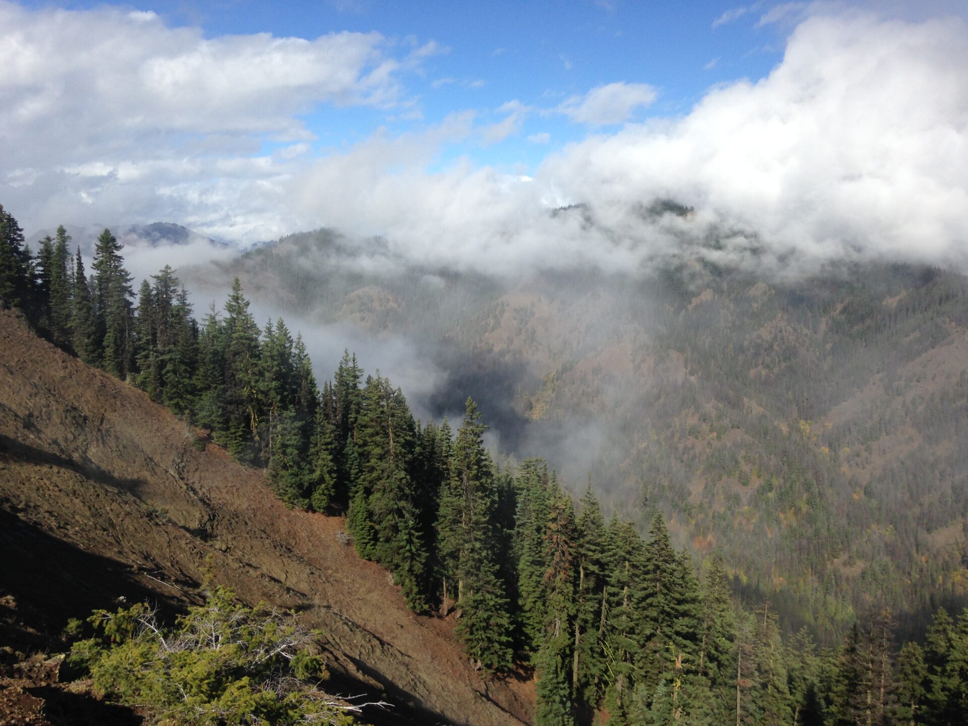
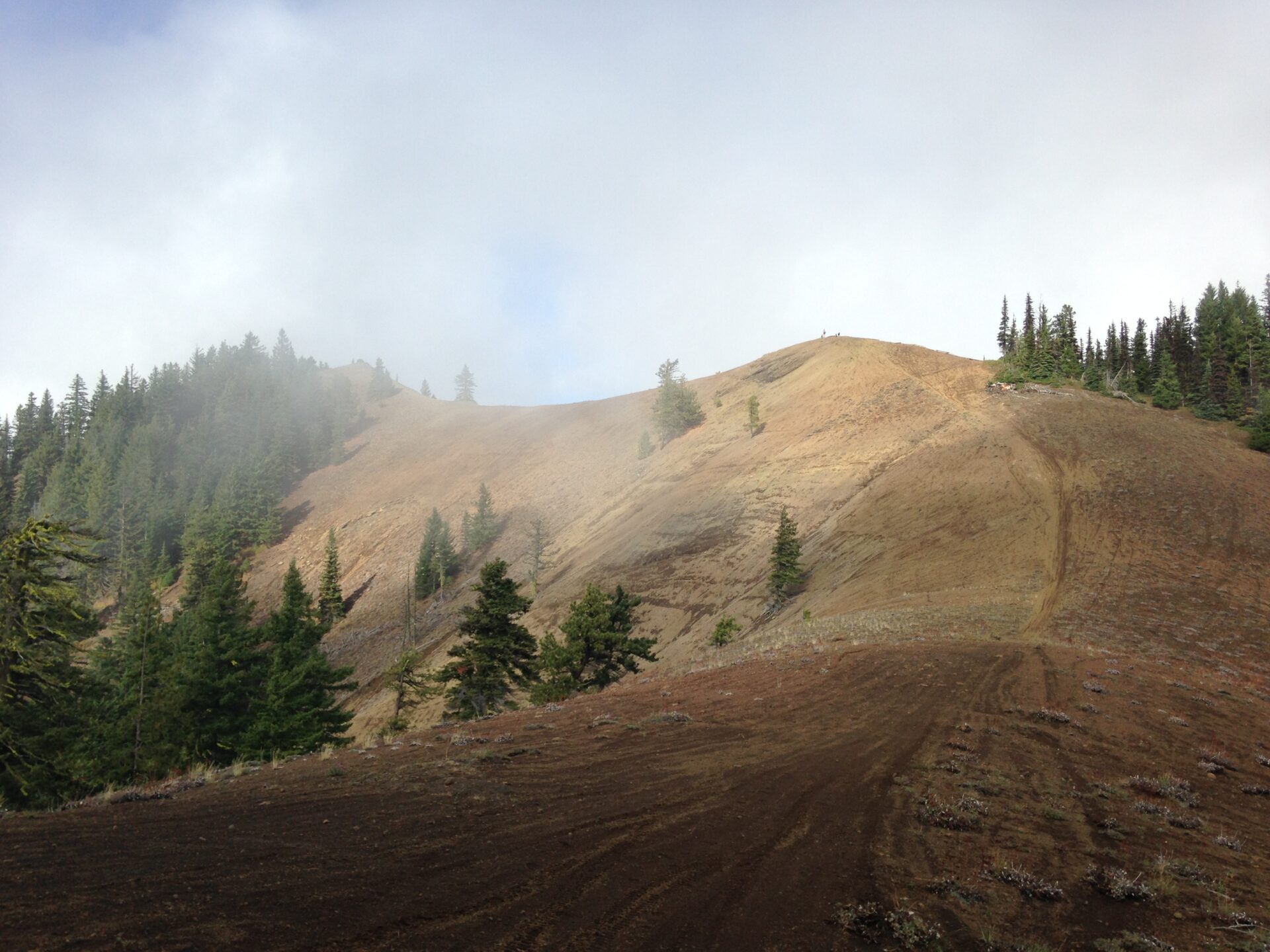
Once the trail crests the trees, the views are spectacular and the exposed ridgeline climb to Hex is front and center. The last push to Hex is on pretty loose scree, which has always been my kryptonite, so my friend laughed as I provided some live entertainment. Once at the top we dropped our packs and sat down for a few minutes until we realized we hadn’t quite made it to Hex. We were on the false summit. Oops.
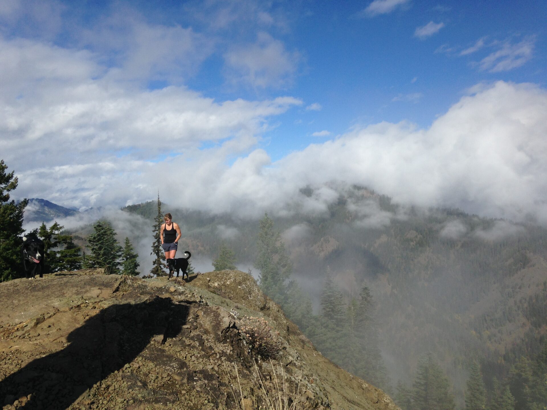
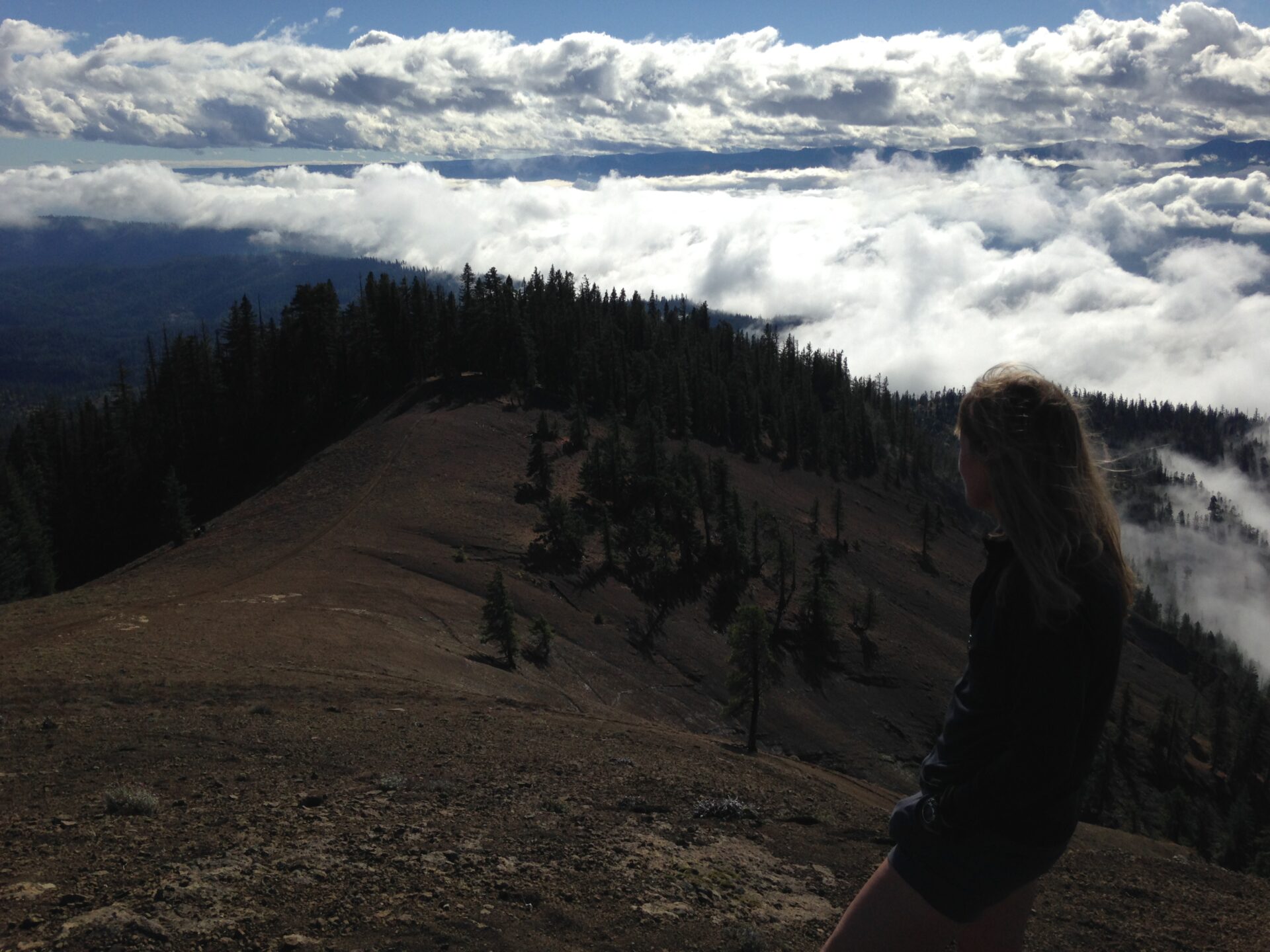
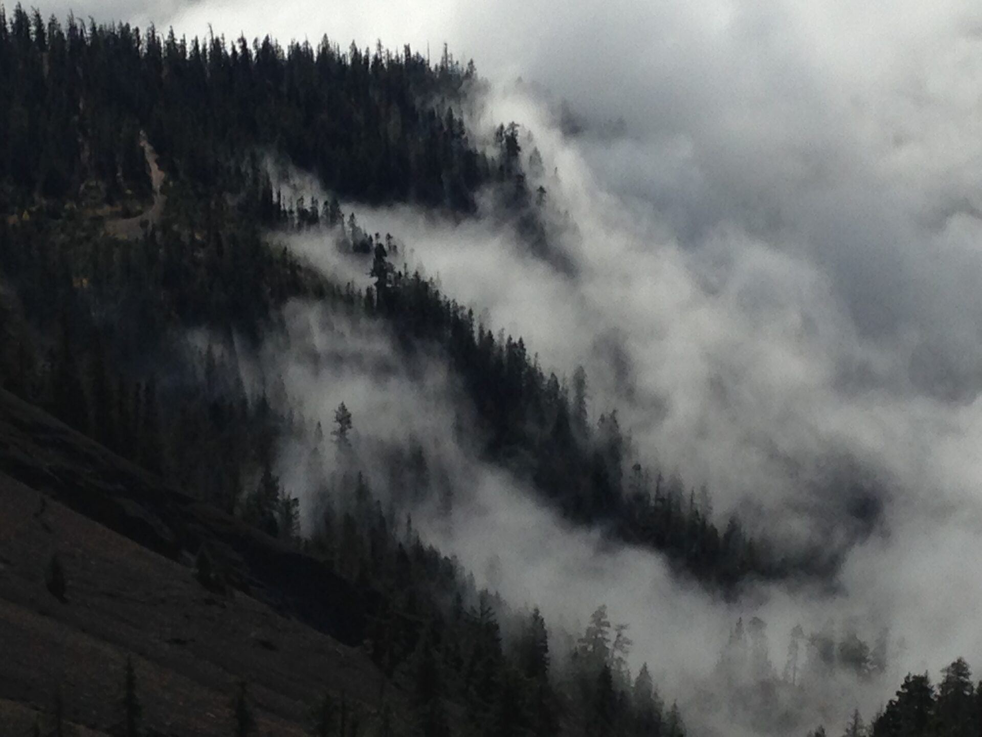
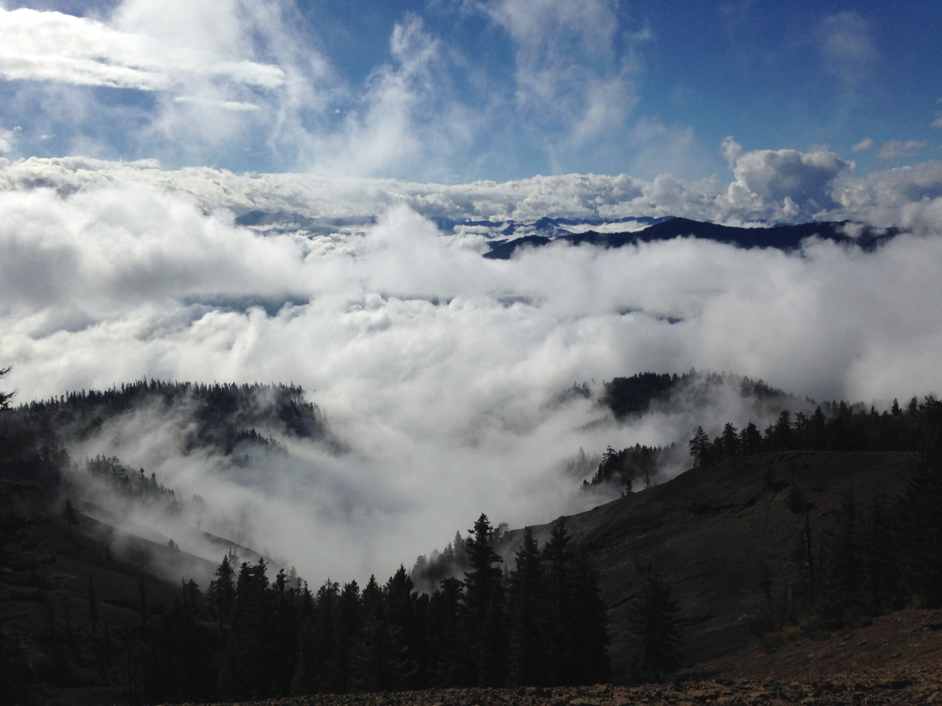
At least from this point the hard work is done and the real summit is an easy jaunt, so we grabbed our packs and got ‘er done. The clouds and fog in the valley created breathtaking views. None of us could have guessed this little hike would have such a great payoff! We sat on the summit a while, watching the fog race up the ridge, relaxing in the sun, and vowed revenge on Sasse.
If you’re looking for a relatively quick and easy hike in the area with some fabulous rewards, Hex is a must do!
After some post-hike research I found out that we were indeed on the right track with the Howson trail to Sasse. It once had a trailhead but has since been abandoned by the forest service. There are also some mapping errors in regards to the trail, so we’ll likely be returning to see if we can find it and follow its remnants up to Sasse. I’m sure a report on that will be coming soon!
Stats
Round Trip: 5 miles
Elevation Gain: ~1,400
High Point: 5,034
Hiking Time: 2:00 hrs
GPS Tracks
Photo Gallery