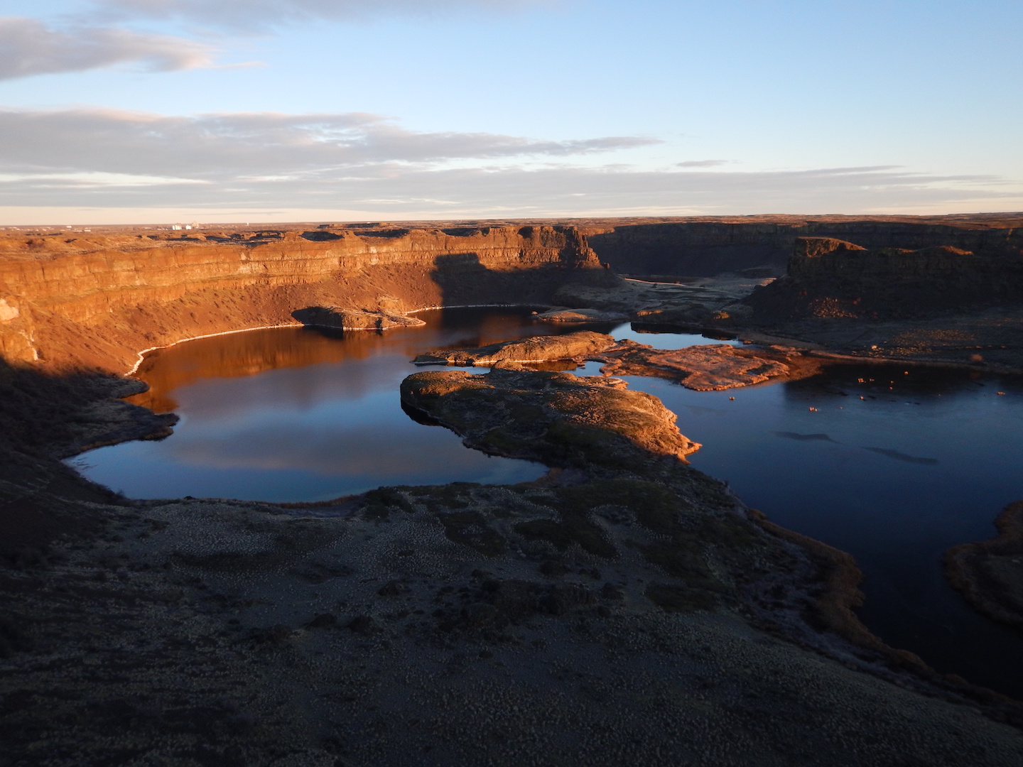
Want to see what was once the earth’s largest waterfall? Experience a soapy lake similar in alkalinity to the Jupiter moons? Guess what? Eastern Washington’s Coulee Country has both as well as incredible geologic features!
Spring can be a tough time to get out in the Northwest. Most trails are still snow covered, a mess of slush and mud, or inaccessible from winter storm damage. Ski resorts are winding down and backcountry snow pack can be unstable. Even though I actually enjoy the rain and don’t mind the winter too much, a trip to eastern Washington to enjoy some sun and warmth is a perfect antidote for westside pallor.
Washington’s dramatic coulee country was formed at the end of the last ice age by outbursts from glacial Lake Missoula. These events resulted in some of the most unusual and catastrophic flooding in geological history and channeled out much of the scablands we see today.
This Coulee Country road trip is roughly 420 miles roundtrip from Seattle and a little over 7 hours drive time minus traffic and stops. You’ll see some fantastic geological sites with tons of space to explore. It’s a perfect weekend getaway for soaking up some eastern Washington sunshine!
Wild Horses Monument
Roughly 2 hours east of Seattle near Vantage is the spectacular Wild Horses Monument. If you’ve ever driven to the Gorge or through the area, you’ve likely seen the horse sculptures running high on a hill above I-90. It took me several years of passing them before I finally stopped and hiked up to see them. It was a few years too many!
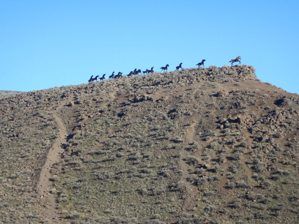
Driving eastbound, there is a small lot for parking below the monument and a few trails heading up to the horses. Westbound you can turn around to gain access, just look for the signs.The slope is pretty steep and loose, so if you hike up, bring some poles or be prepared to slide down a bit on your butt. It’s well worth it though for a close-up view of these amazing sculptures as well as the view of the Gorge!
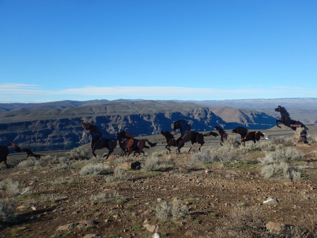
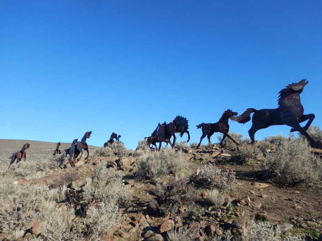
The real name of the sculpture is Grandfather Cuts Loose the Ponies and it was created by artist David Govedare. The original design was for a huge tipped basket with two horses inside and 16 galloping away but funds ran out, leaving the 15 galloping horses we have today. Each horse weighs approximately 1,000 pounds and is made from half-inch steel that has turned red with oxidation. It’s one of the most-seen public artworks in Washington state.
Ancient Lakes
Much of the eastern Washington landscape was created 13,000-15,000 years ago when the prehistoric Lake Missoula in Montana had cataclysmic outburst floods. Lake Missoula was estimated to be about 3,000 sq. miles and half the volume of Lake Michigan. The immense water flows swept across the Columbia River Gorge and scoured out coulee areas like Ancient Lakes, about 40 minutes north of the Wild Horses Monument.
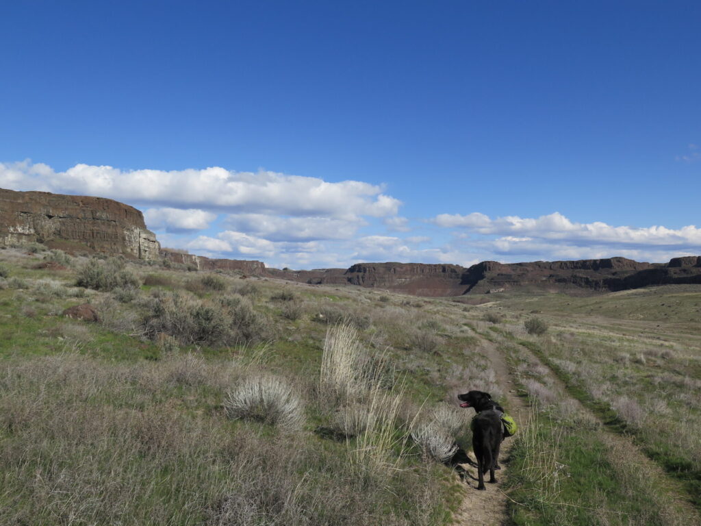
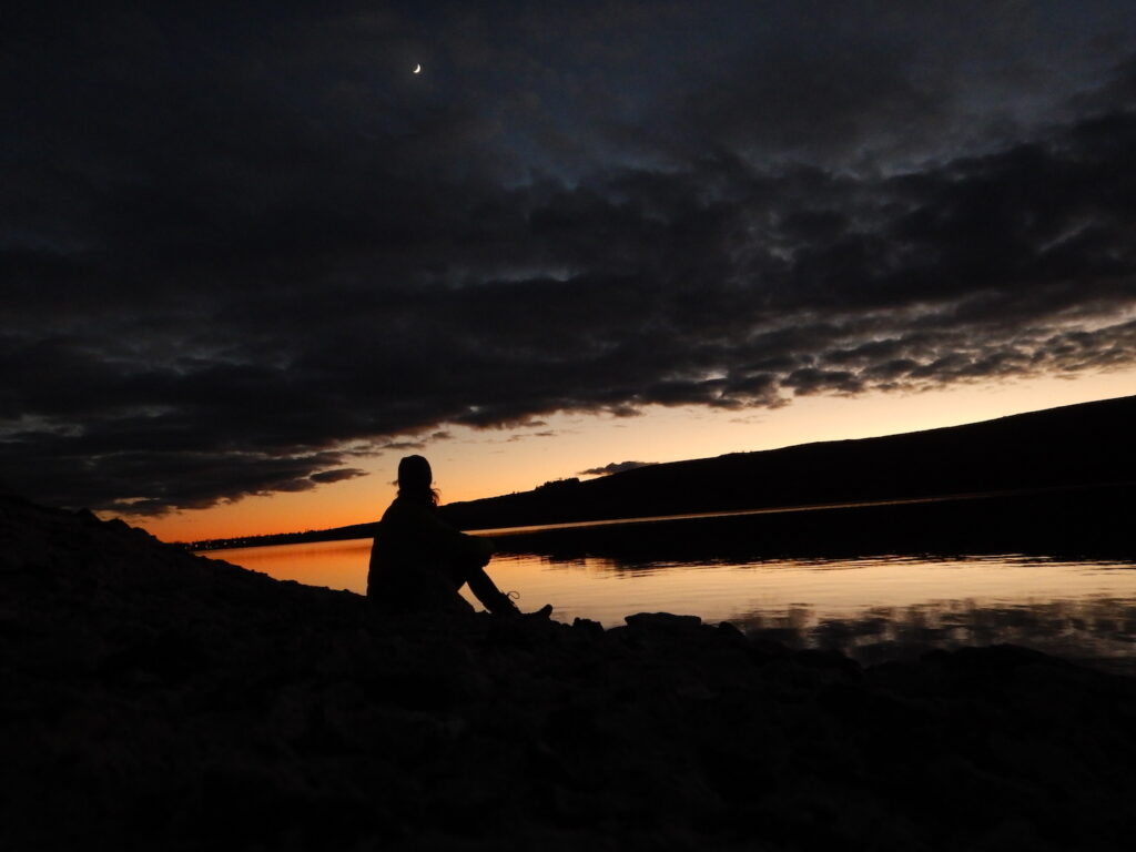
Last week I had a few days off from work and packed my backpack for an overnight at Ancient Lakes. The weather was windy, which is typical for the area, but I had lots of gorgeous blue skies and warm sunshine. It’s only a 2 mile hike into the coulee from the Ancient Lakes Trailhead and an abundance of established camp sites everywhere!
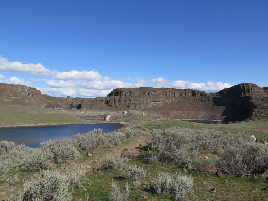
If you stick to the main trails that go straight through the coulee you’ll pass a few waterfalls early in the season. At the end past all 3 lakes is a large waterfall tumbling from the plateau above. The whole area lends itself to being explored. Trails meander up spectacular basalt columns and over to Dusty Lake in a neighboring coulee. I hesitate to offer trail directions for this area because the fun is in exploring it and finding yourself a great spot for the sunset!
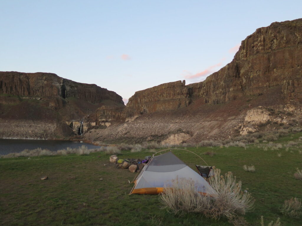
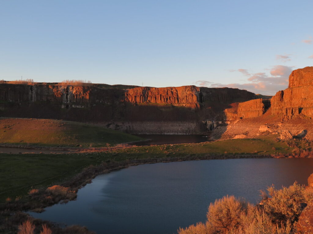
A weekday overnight was perfect as there were only a few parties in the whole expansive area. Although weekends can be much busier, the area is so large that with a little extra effort you can find lots of places to camp away from the crowds. Despite being so close to civilization, you’ll feel in the middle of nowhere at Ancient Lakes and with little light pollution, the star gazing is incredible!
Bring a Discover Pass for the trailhead and make sure to pack all the water you’ll need. Though there are lakes in the area, they are mostly filled with irrigation runoff from neighboring agricultural land and not considered safe for filtering. Since the hike is short, consider it early season training to carry a few extra pounds of water! It can also be quite windy here, which is typical of all of eastern Washington, and temps can dip low at night. Make sure to bring lots of warm gear!
Lake Lenore Caves
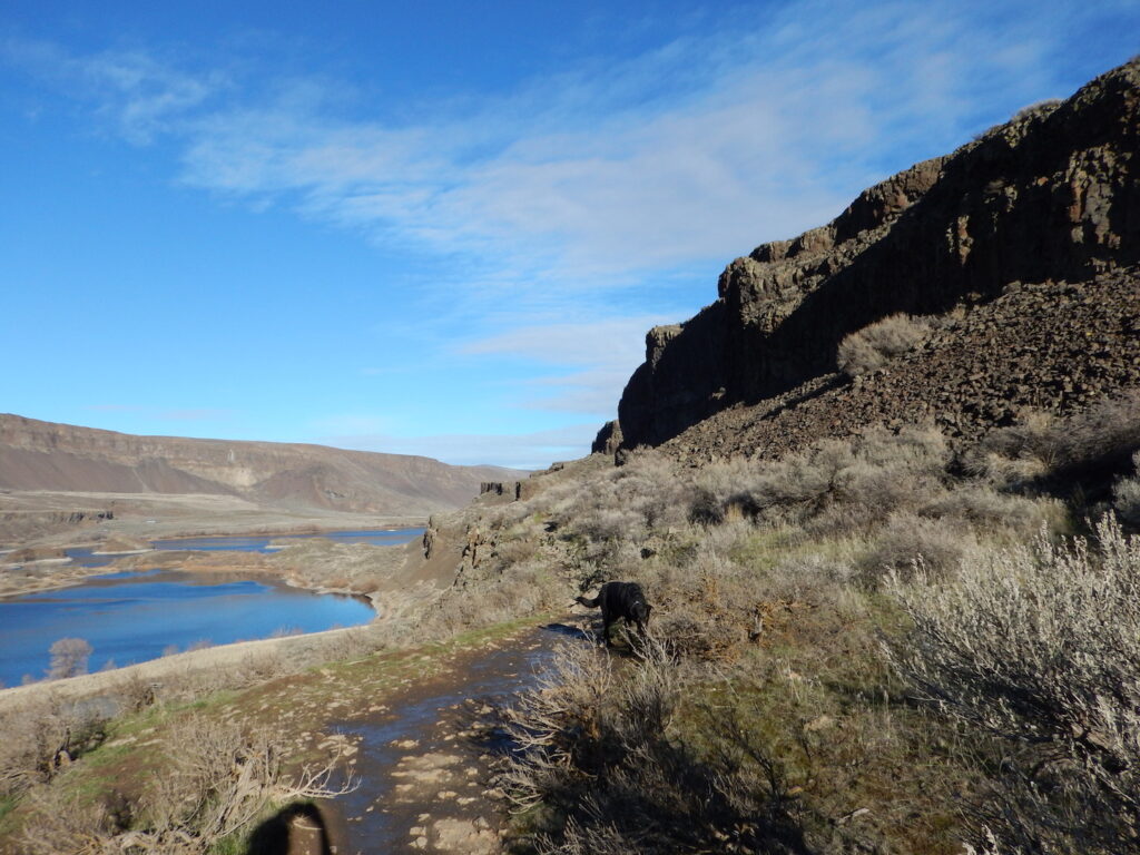
An hour northeast of Ancient Lakes is Lake Lenore, which has a series of cliff overhangs on its north end called the Lake Lenore Caves. You can walk along the eastern wall of the Grand Coulee across from Lake Lenore and explore up to 7 caves, some with silhouetted views of the surrounding scablands. The Grand Coulee runs 50 miles all the way to the Coulee Dam.
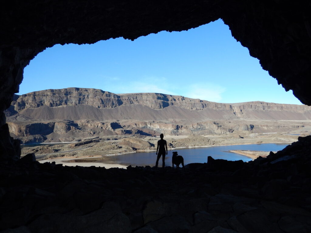
Lake Lenore and its caves can be visited by traveling through Ephrata and then heading north on Washington State Route 17. There is a turnoff at the north end of the the lake with information about the caves. The drive through this huge coulee is quite scenic and it’s almost hard to believe you’re in Washington state!
If you visit Lake Lenore, consider a stop at Soap Lake, north of Ephrata, to check out its unusual but naturally occurring foam which washes up on the shore much like washing machine detergent. It’s waters contain 23 different minerals and make it feel like a slick bar of soap. Interestingly enough, Soap Lake has the highest diverse mineral content of any body of water on the planet. It also contains ichthyols, an oily substance that has been used to treat skin diseases and abrasions. Last bit of interesting trivia? It’s alkalinity is similar to the moons of Jupiter.
This is pretty much why I geek out on Eastern Washington. There is no shortage of amazing geology and attractions!
Dry Falls
Just another 15 minutes down Washington State Route 17 from Lake Lenore is Dry Falls State Park and its main attraction is considered one of North America’s great geological wonders. Picture Niagara Falls, flowing one mile wide and 165’ tall. Now picture a waterfall more than 4 times the size of Niagara Falls, flowing 3.5 miles wide, plummeting 400’ to the ground and with 10 times the flow of all the rivers in the world combined. Sounds pretty incredible doesn’t it?
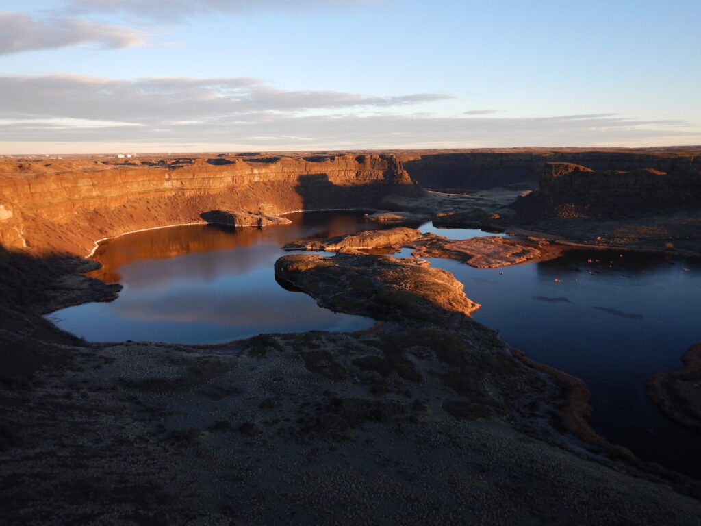
Although water no longer flows over its incredible landscape, Dry Falls was created from the Missoula Floods and is the remnant of the largest waterfall known to exist on earth. Dry Falls State Park has a campground, 90 unsheltered picnic tables, 15 miles of hiking trails, and a pretty intriguing visitor center if you’re into geological history. If you’ve never been here you really should stop for a little while and gaze at it’s incredible landscape and imagine for a minute what the largest waterfall on earth must have looked like 15,000 years ago. It’s pretty amazing to stand here and take a look back in time and realize this is right here in our own backyard!
The biggest problem I have whenever I take a road trip to Eastern Washington is deciding where to stop and turn around! Just under an hour away is something interesting and fantastic. It’s much too easy to keep going and going.
If you do decide to keep going, consider driving another 45 minutes north to Coulee Dam. Along the way are great spots to stop including Banks Lake, Steamboat Rock, and Northrup Canyon. You can even decide to loop back to Seattle on Highway 2 for a little variety.
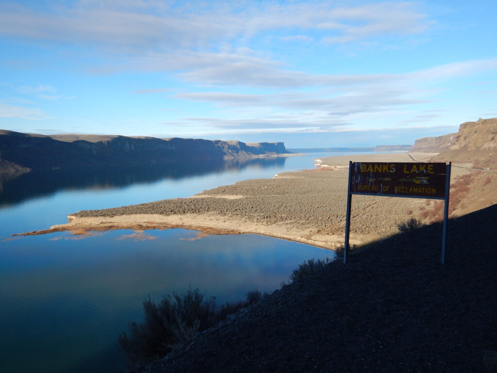
This is a small sampling of the amazing attractions in Washington’s Coulee Country. The area is vast and it would be way too lengthy to cover it all in one blog post. I might just need to write a follow up soon! Happy adventuring and summer will be here soon!
More Resources
Washington Trails Association hiking information and trip reports for the areas above as well as some additional articles about the history of Washington’s Coulee areas and the strange Soap Lake.
