I’ll preface this post by saying that earlier this month I moved back to my favorite place in the whole wide world: the magnificent Methow Valley in beautiful Okanogan County. It wasn’t a move inspired by Covid. In fact, I lived here from 2012-2015 when I was freelancing. I went back to Seattle for a job opportunity in 2015, but then sold my condo in March 2019 with the intent to move back. Unfortunately it took me a year to make it all happen and well, my timing with Covid wasn’t the best. But hey, I’m here, and it feels great to be home!
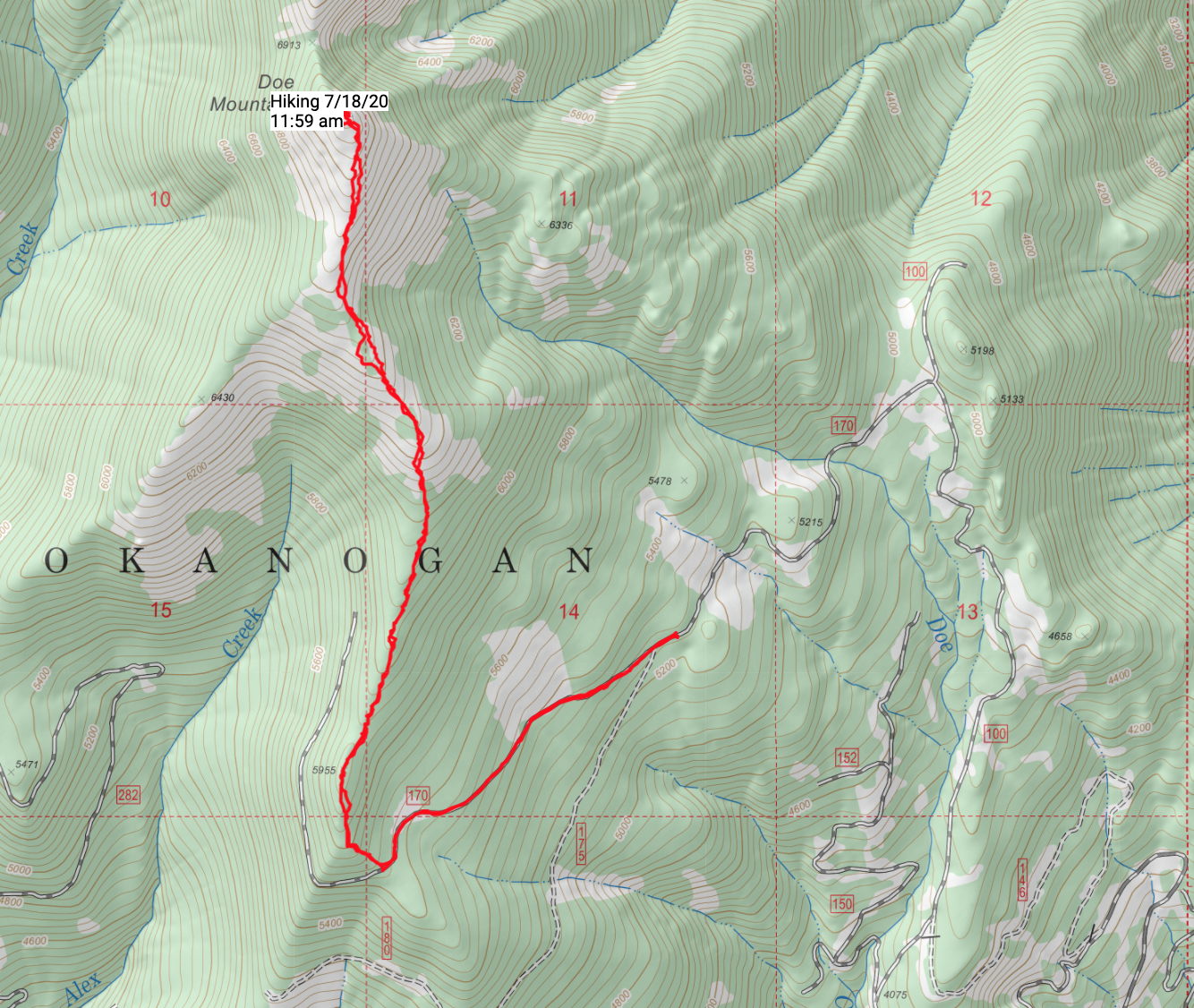
Surrounded by incredible peakbagging opportunities on all sides, I haven’t wasted any time and have been prioritizing visits to prominent peaks and former lookout sites. Most of my objectives I find by simply pulling out maps, studying the terrain, and looking for things that are interesting. Yesterday I completed a spectacular cross country peakbagging mission to the summits of Doe Mountain and neighboring Ike in the Okanogan Range north of Winthrop.
There isn’t a lot of beta out there on the route to Doe, but I saw it listed as a former fire lookout site on several websites so I knew I had to check it out.
Based on Google Maps and satellite imagery, Doe’s southeast ridge looked mostly open and clear of trees. Forest service maps also showed a road (FR-170) that traversed below Doe’s southeast ridge. I headed off with a plan to hopefully get as high up on FR-170 as I could, then hike what seemed like a fairly straightforward route along the southeast ridge line. I’m a huge fan of ridge line runs!
I drove north out of Winthrop about 14.5 miles up the West Chewuch to Forest Road 100. The road is in good shape and well graded, seemingly recently repaired from a major slide not far up the road. Conditions are good all the way to the junction with FR-170. After the junction, things get a little rough but even a 2-wheel drive vehicle I think can make it.*
*Dislcaimer: I haven’t had a 2-wheel drive vehicle in years so I’m a bad judge of these type of things, but it seemed reasonable!
A little over a mile after turning onto FR-170, there is a downed tree that signals the end of the road, but the road has also been bermed a short distance after so either way, it’s the end of the road. There is parking here for maybe 2 or 3 cars with some creativity. I parked, then took an easy one mile hike up the road to a large turnaround area. From here, I headed upslope to attain Doe’s southeast ridge. I was surprised to find not only fresh flagging, but also what seemed to be a freshly cut trail down low, perhaps from cattle, but a pretty obvious trail nonetheless.
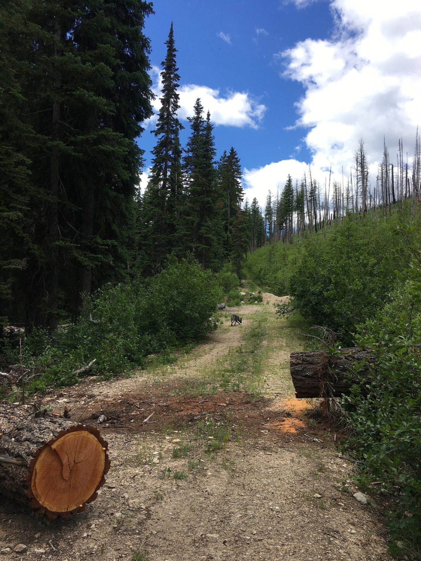
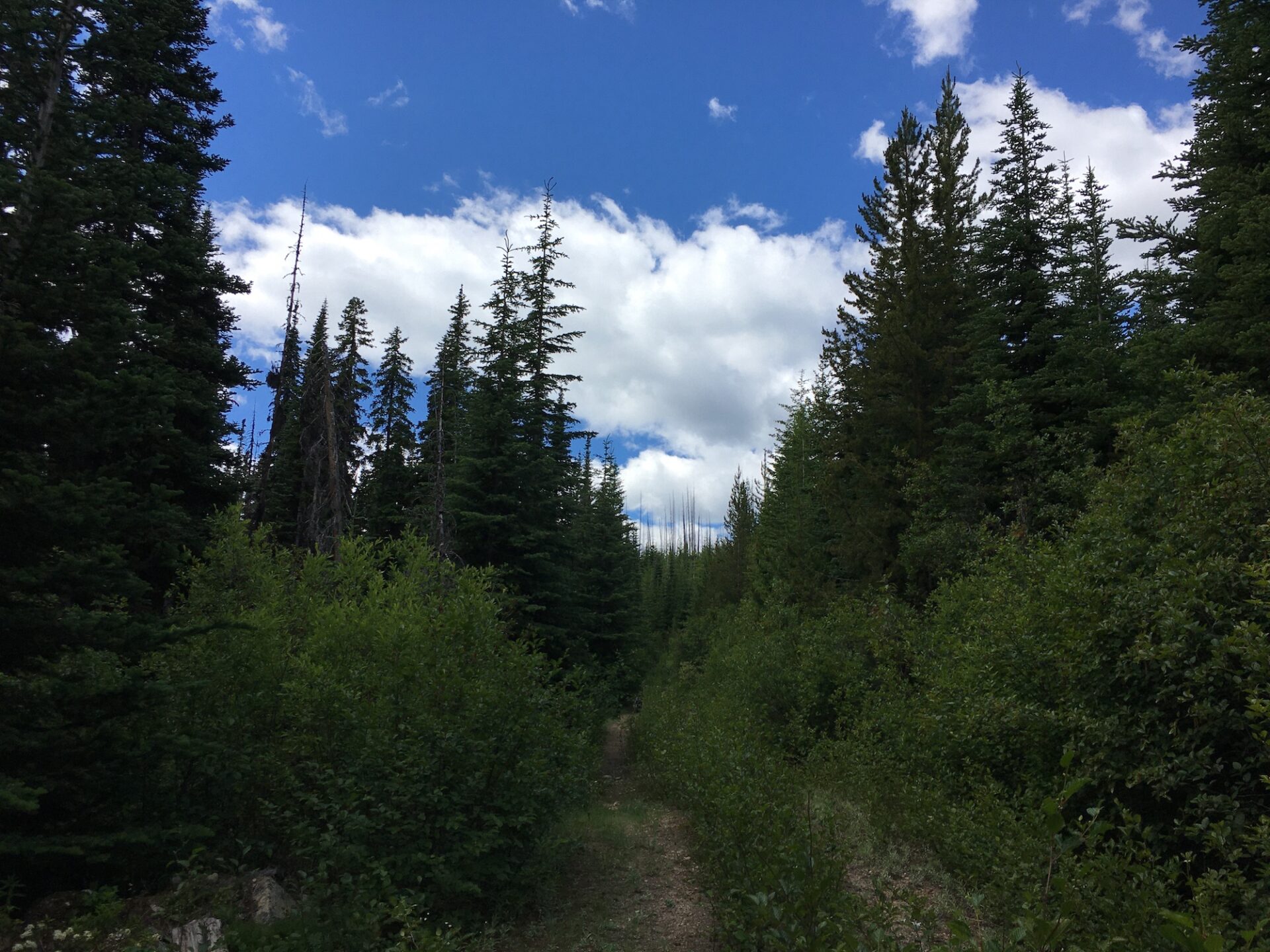
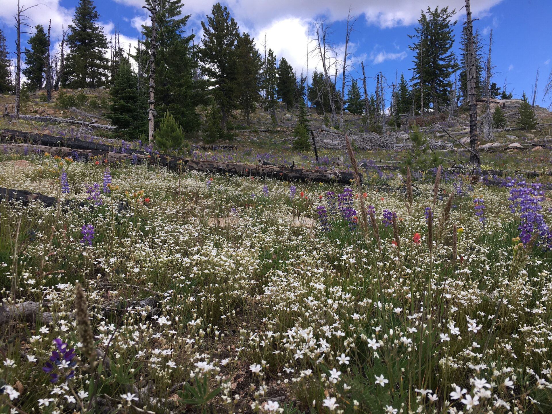
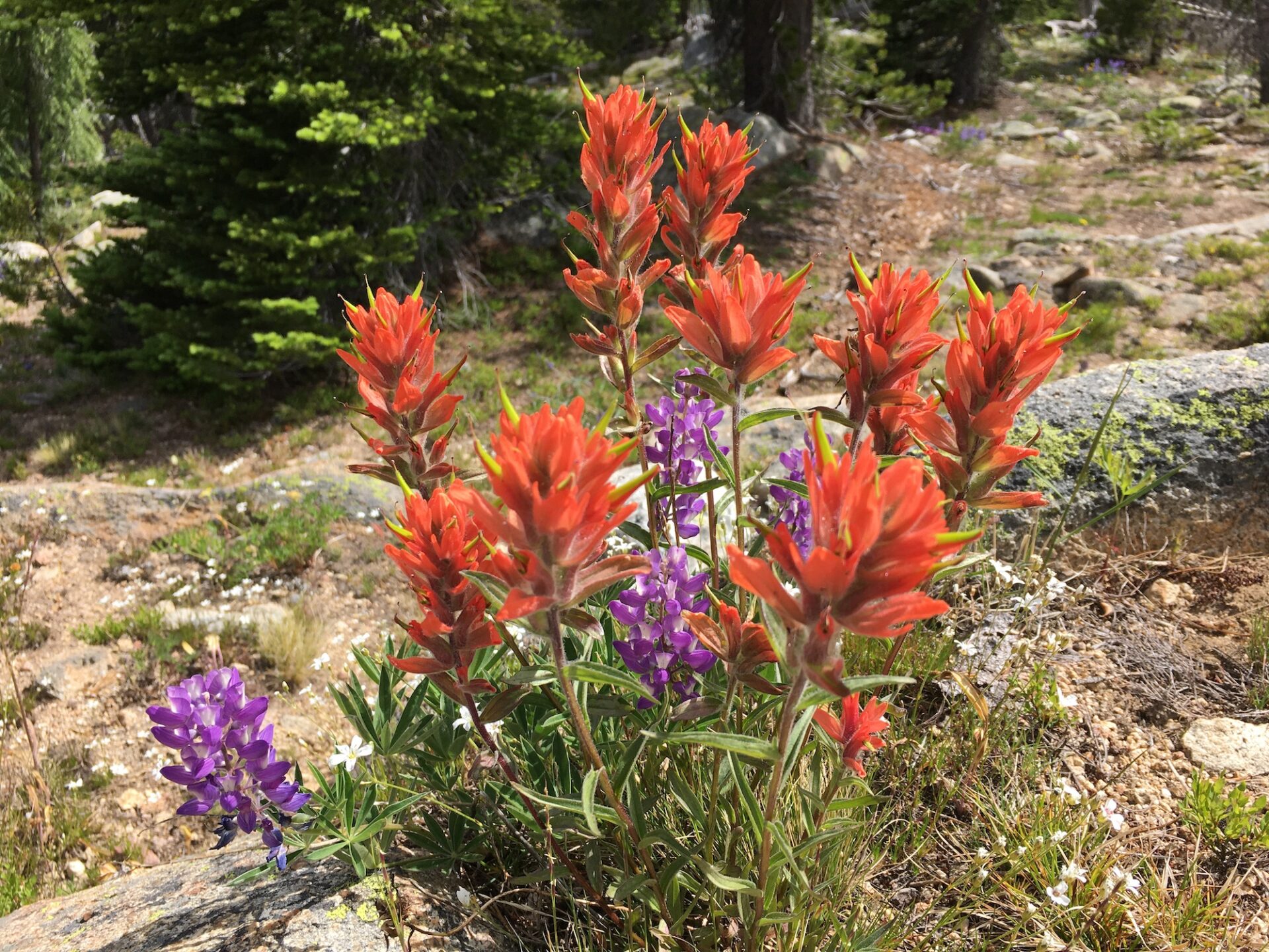
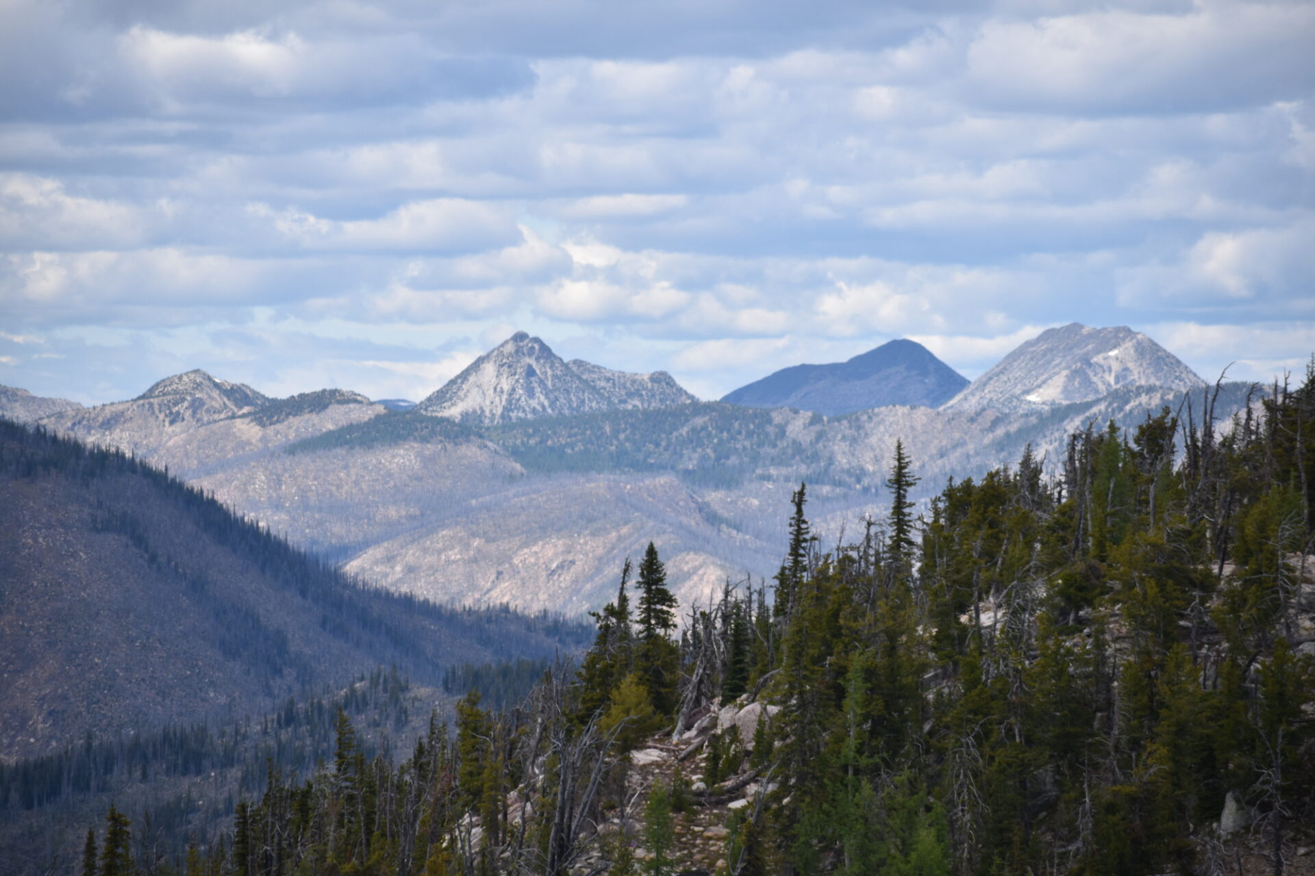
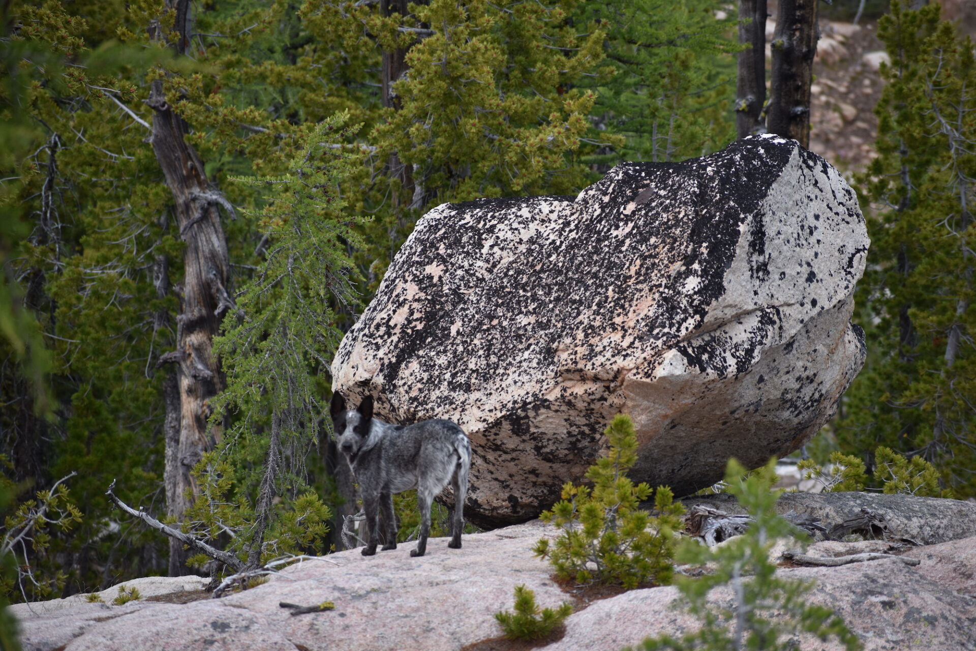
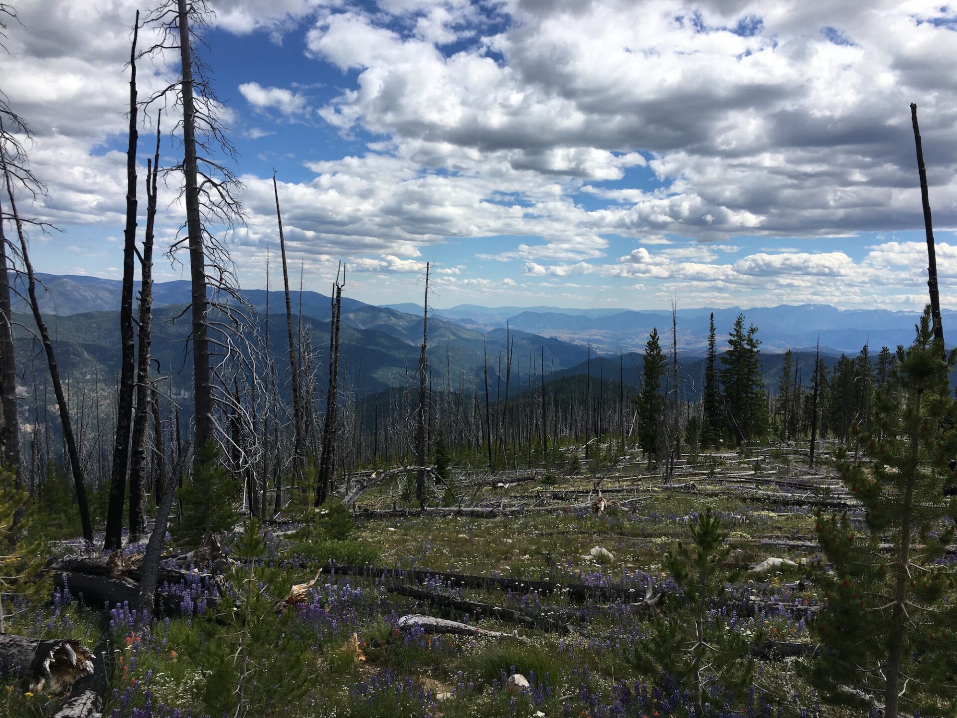
The flagging disappeared quickly, but a game/cow trail continued on the east side of the ridge, so Hudson and I mostly stuck to it. Anytime the game trail became faint we’d follow the path of least resistance and sure enough, we’d pick it up again. Game trails are fantastic because animals are pretty adept at finding the easy path up. Most of the terrain was very open, delightful, cross country travel and the slopes were filled with lupine, paintbrush, and a stunning variety of wildflowers!
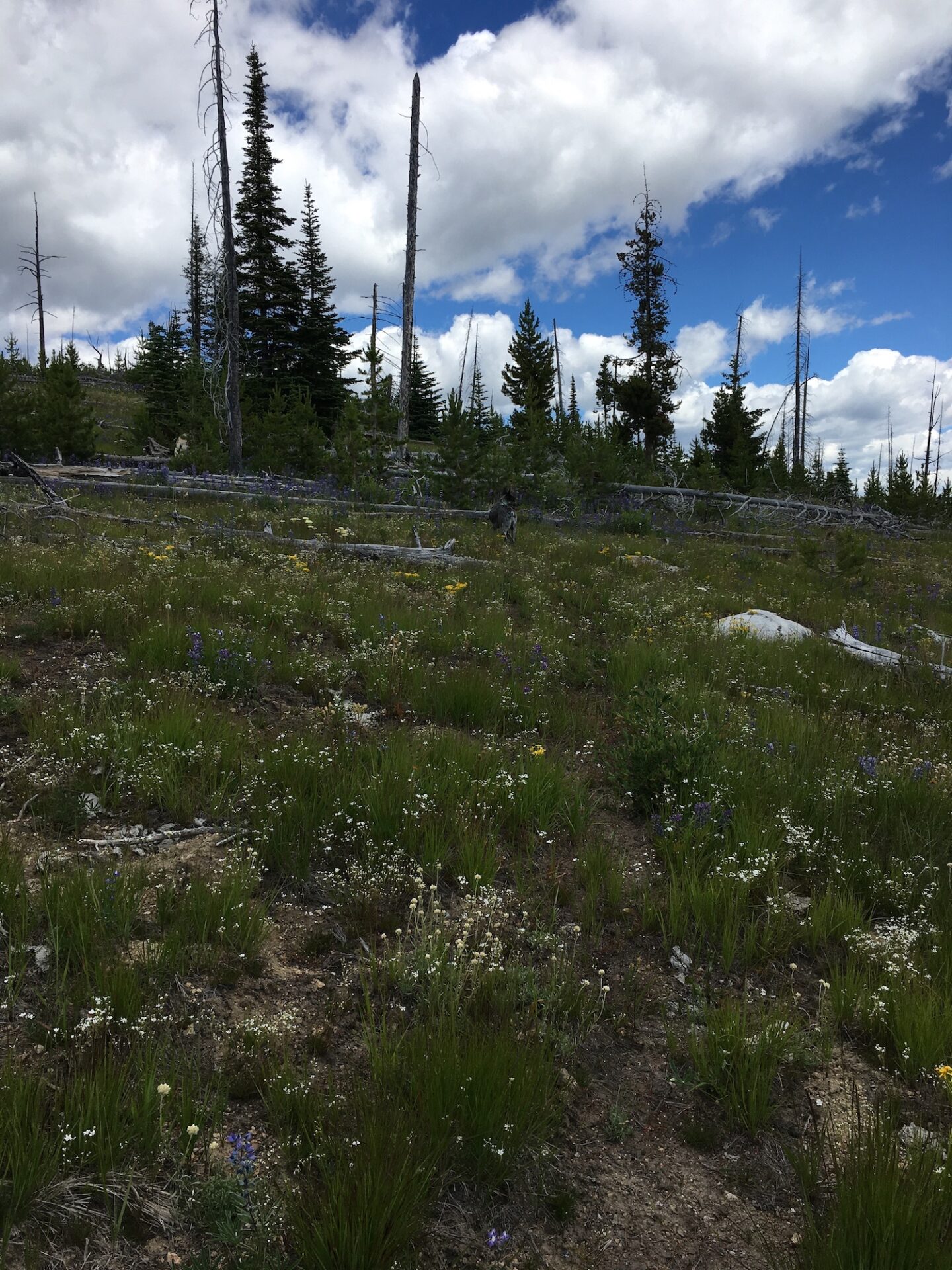
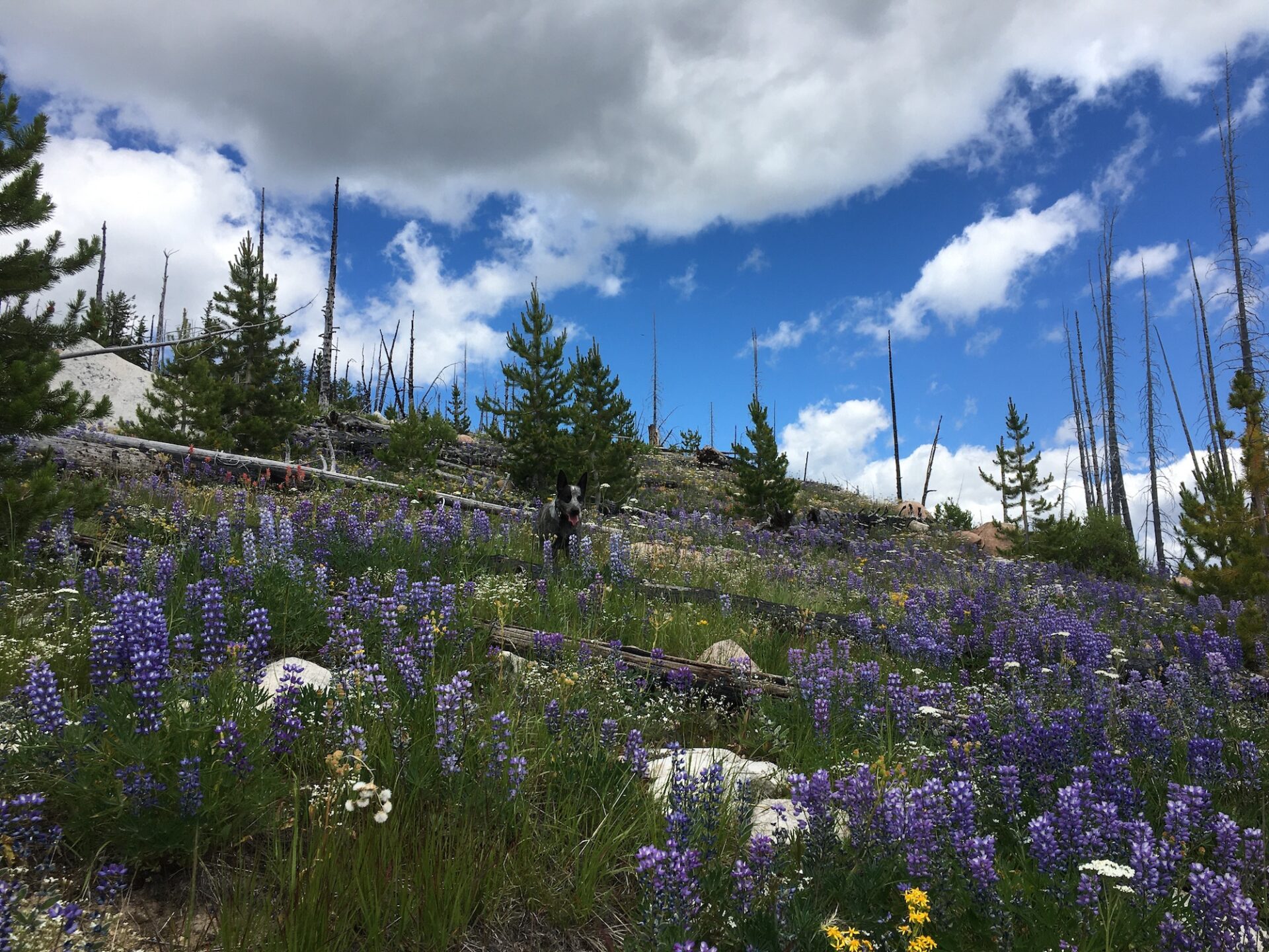
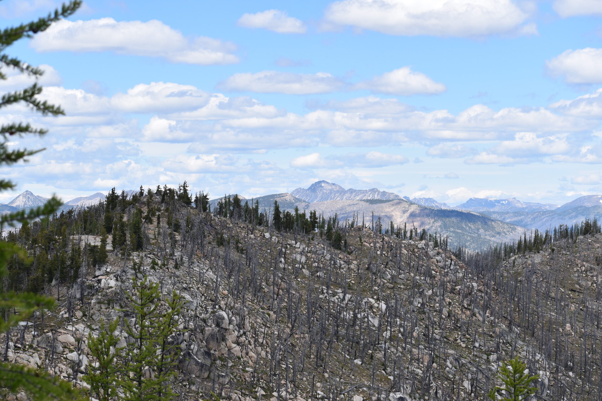
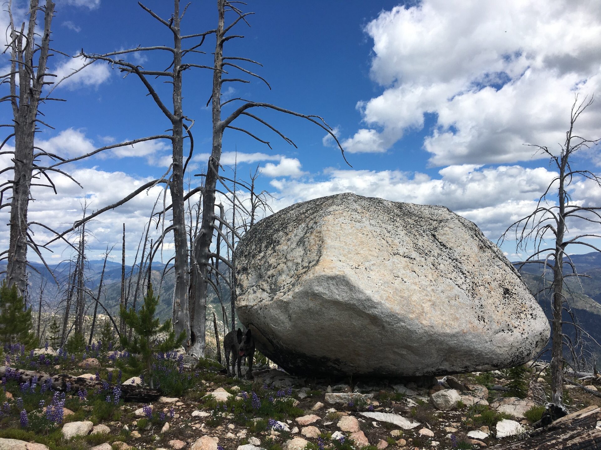
Between 6,200′-6,800′ we hit the worst of the burned out blowdown from previous fires, but most of the snags were easy to step over and around. Again, sticking to the game trail allowed us to weave through the snags rather adeptly, avoiding the worst sections. Animals are expert trail builders!
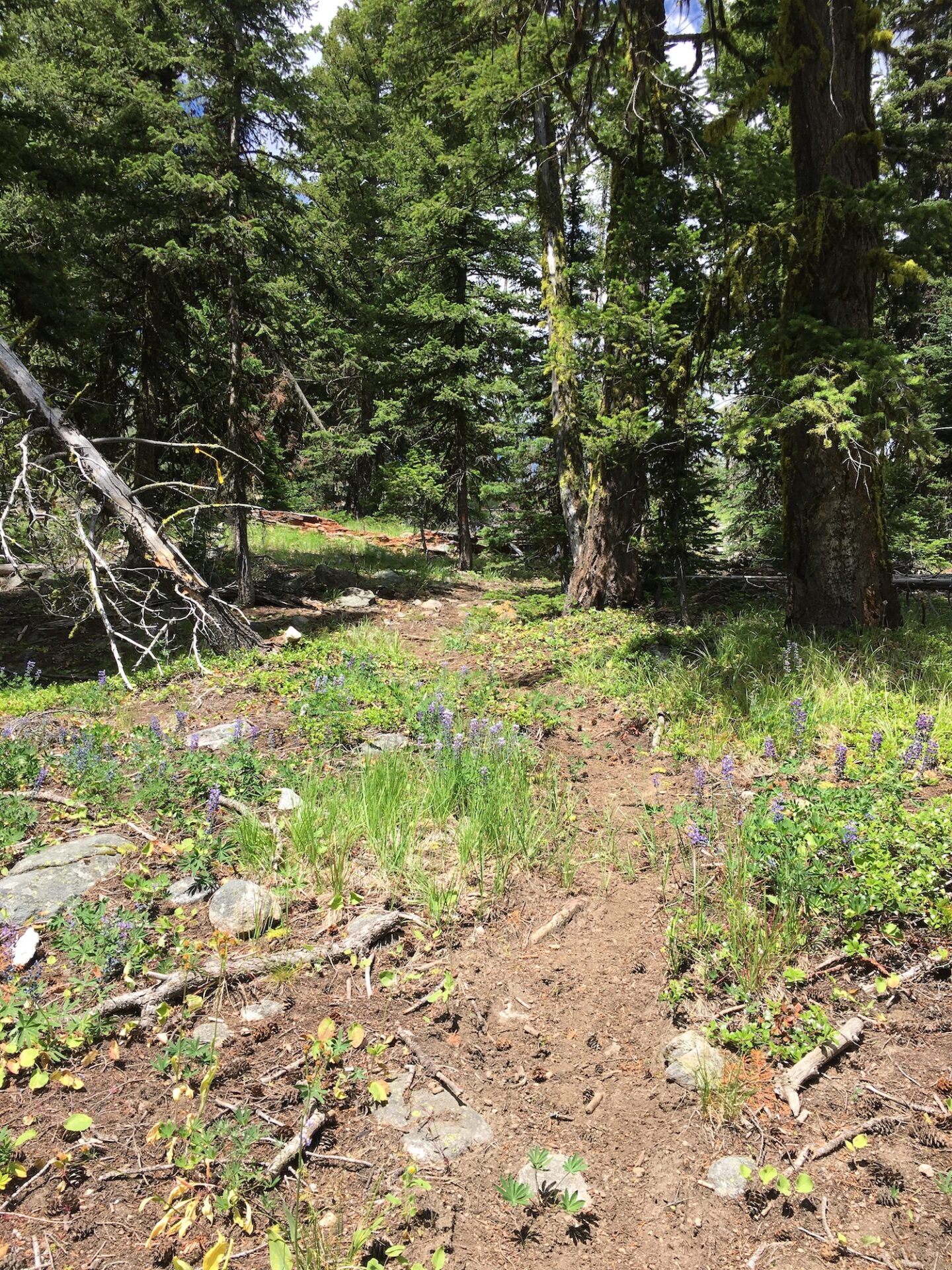
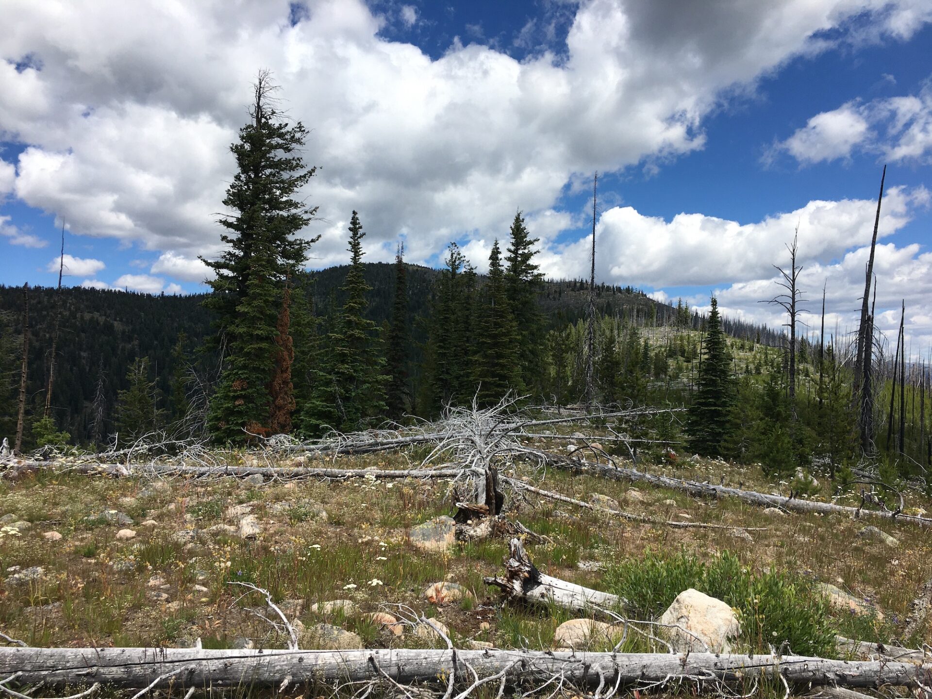
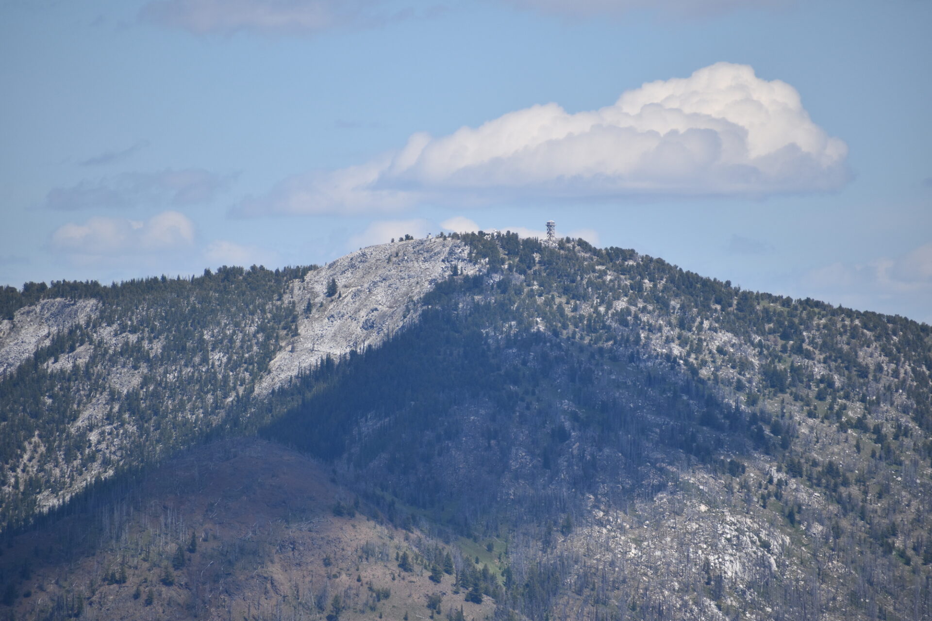
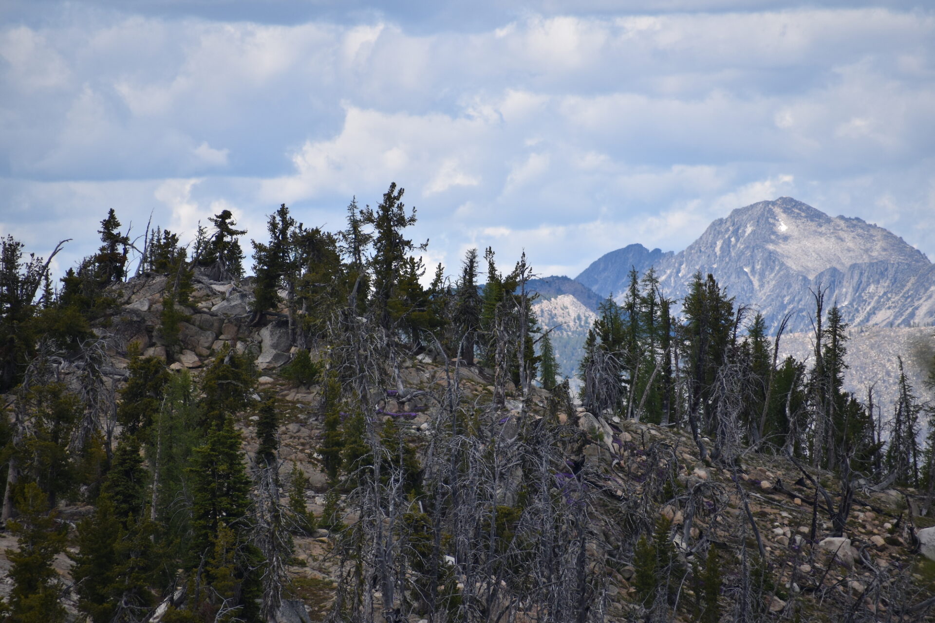
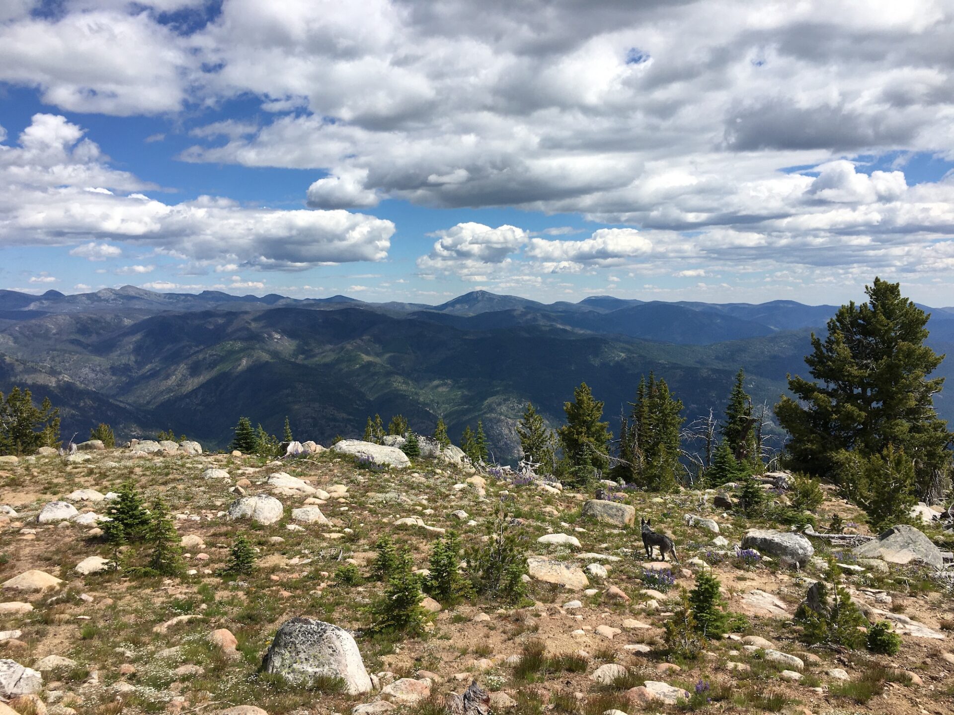
A few hundred feet below the summit, the snags mostly disappeared and the landscape transformed into boulders and rocks all the way to the top. The summit area of Doe is large, with a big, open space on the south side and more treed, sheltered areas to the north. There are a ton of places to drop a pack, enjoy a lunch, and soak up the 360 views.

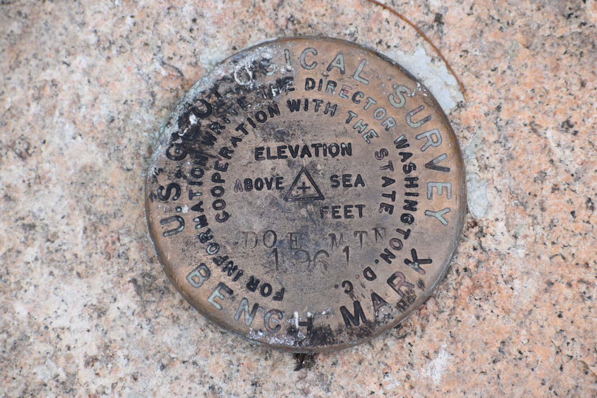
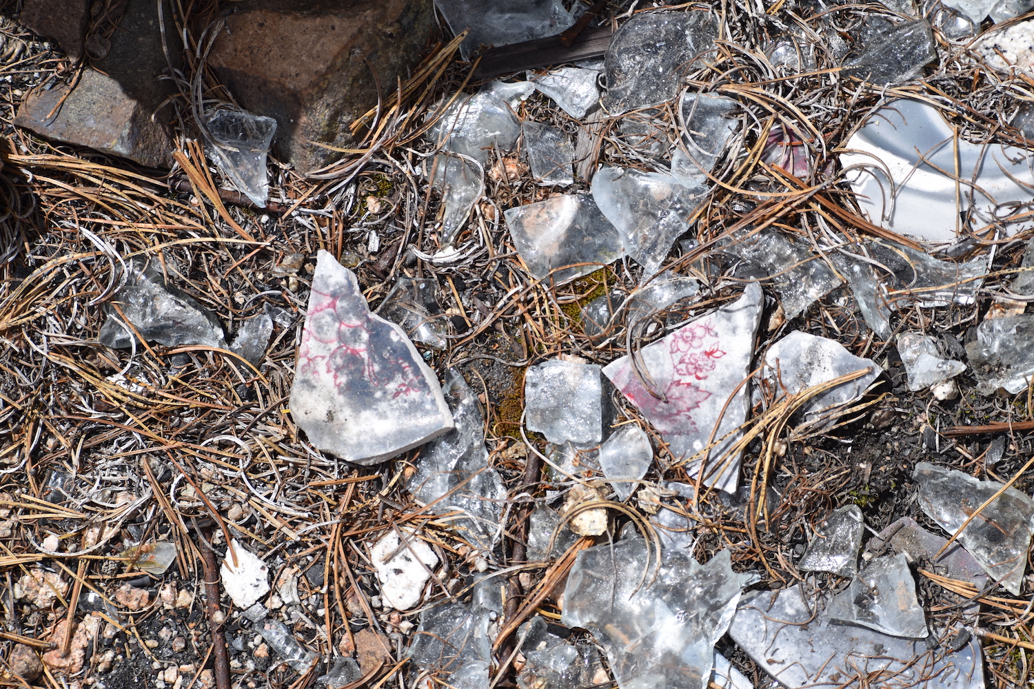
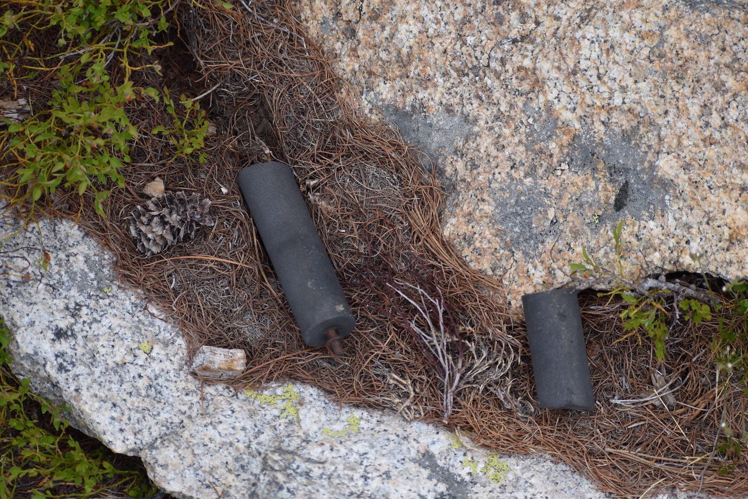
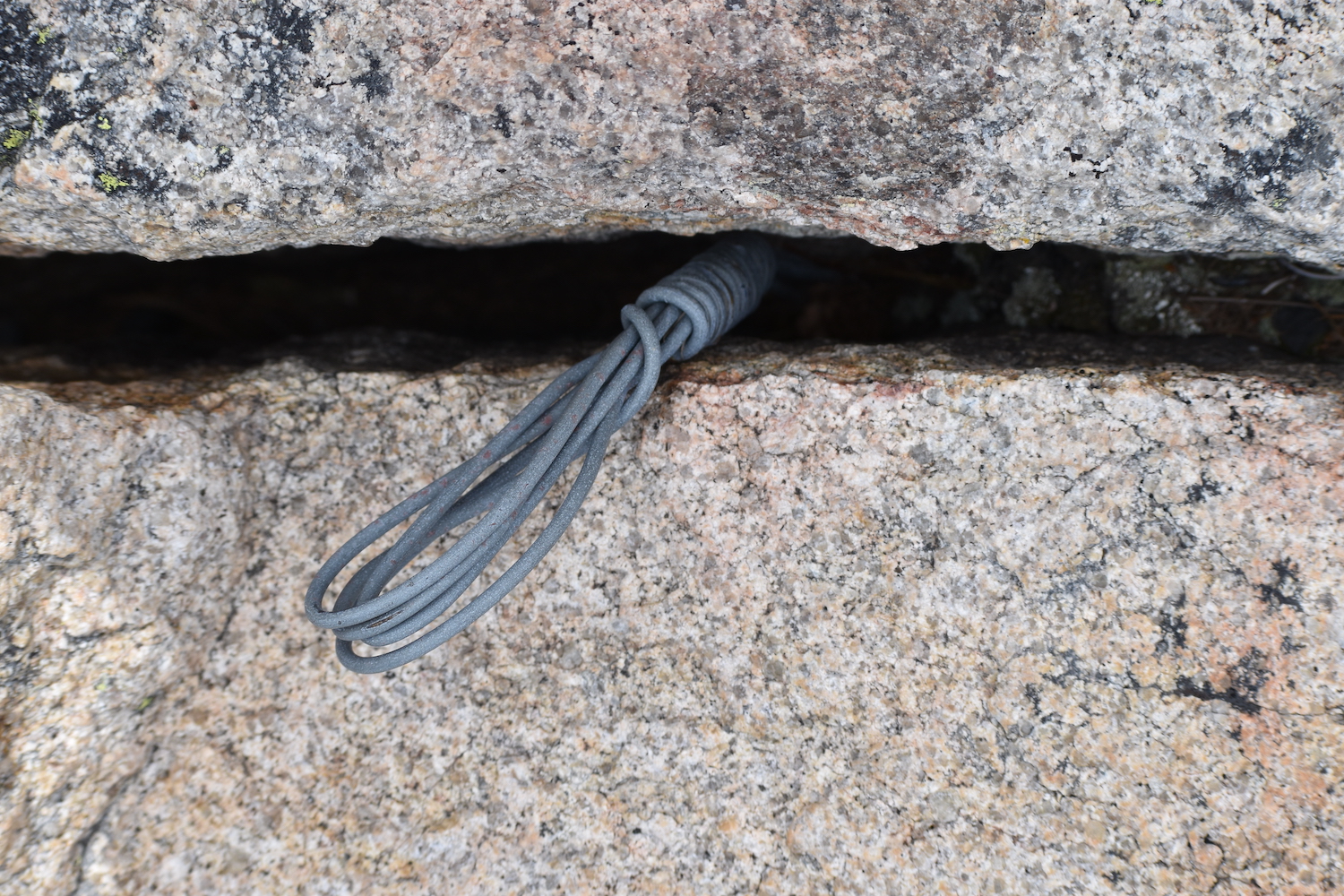
I found the summit benchmarks as well as remnants of what looked to be melted lead glass, a few ceramic insulators, and some other small artifacts like hinges and nails.
There are numerous flat spots to camp, though the best sheltered spots are just below the summit on the north side, approaching the ridge to neighboring Ike Mountain. This time of year the summit is very dry so camping would require hauling up plenty of water.
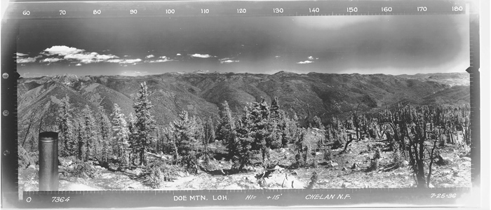
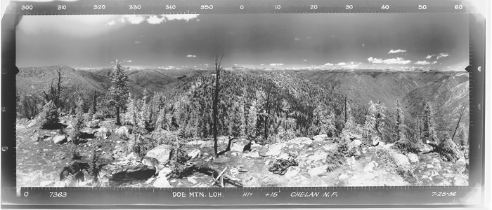
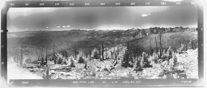
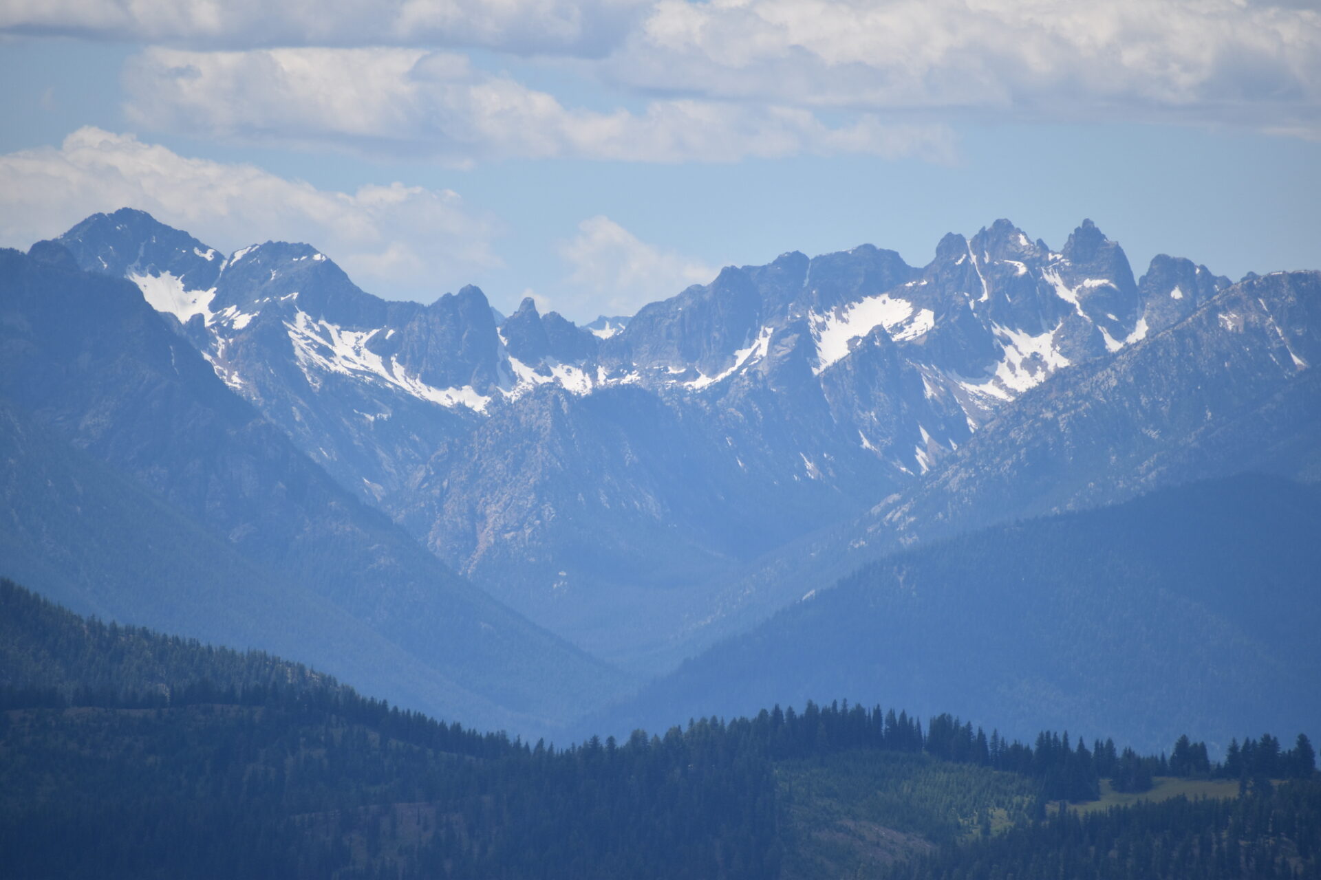
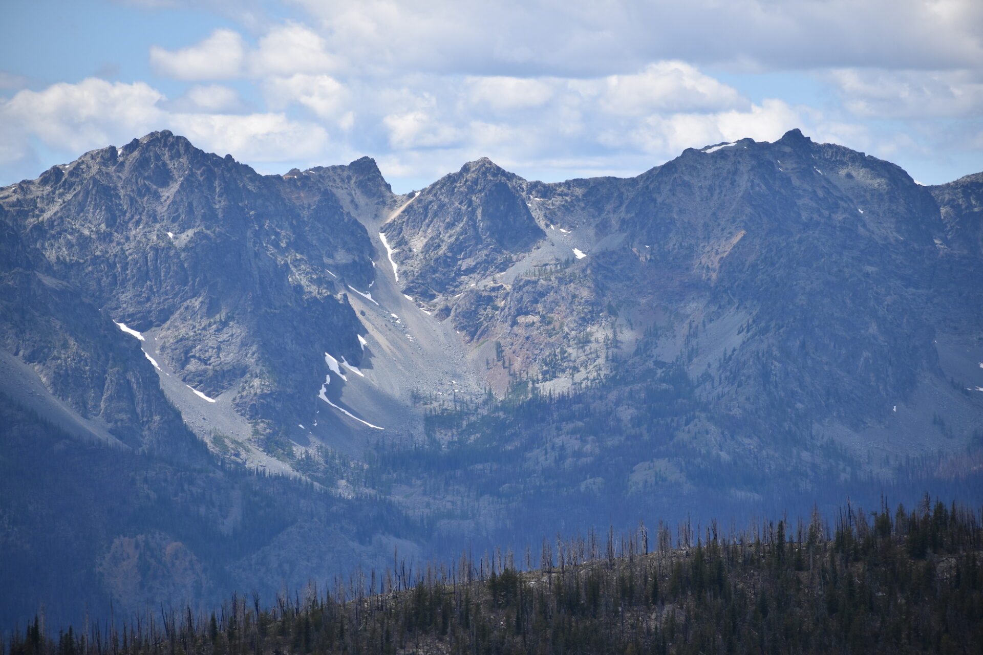
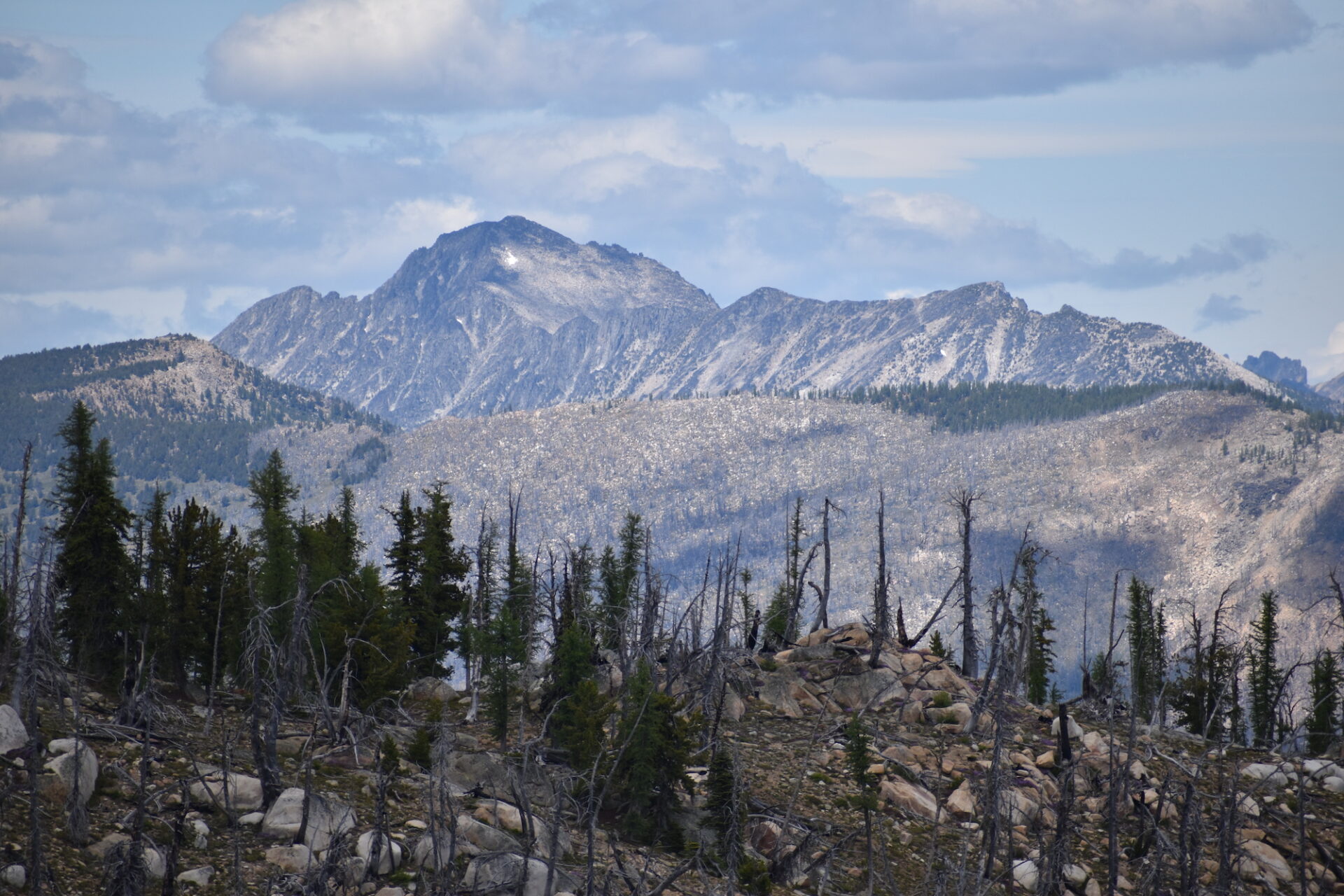
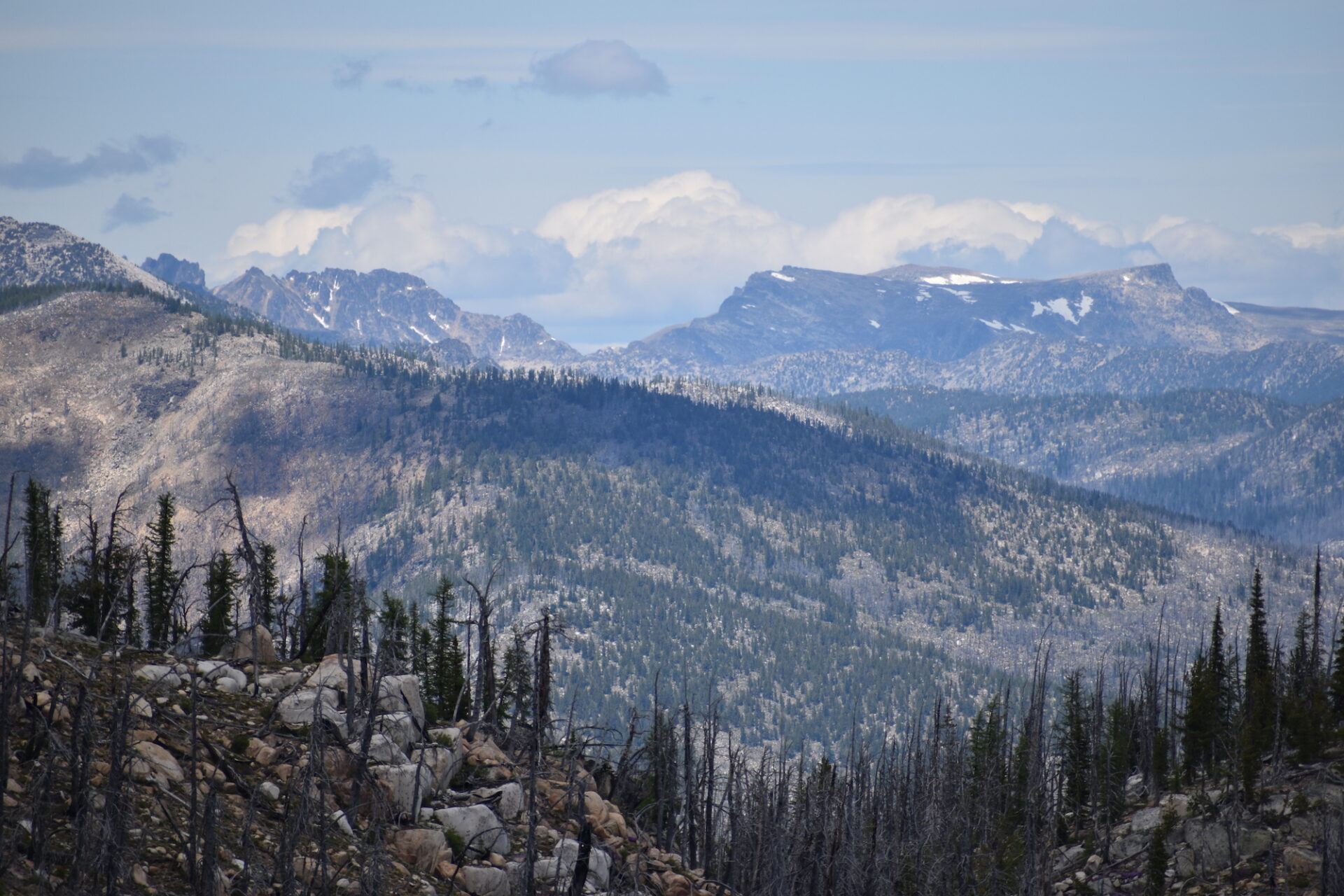
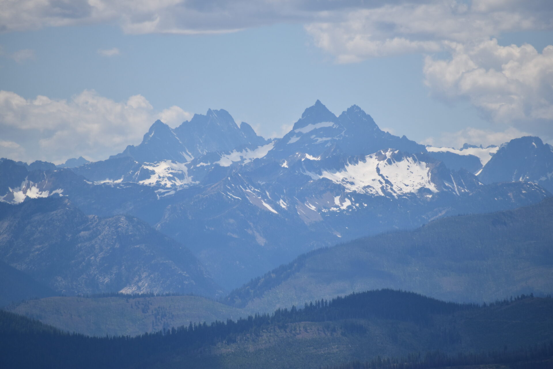
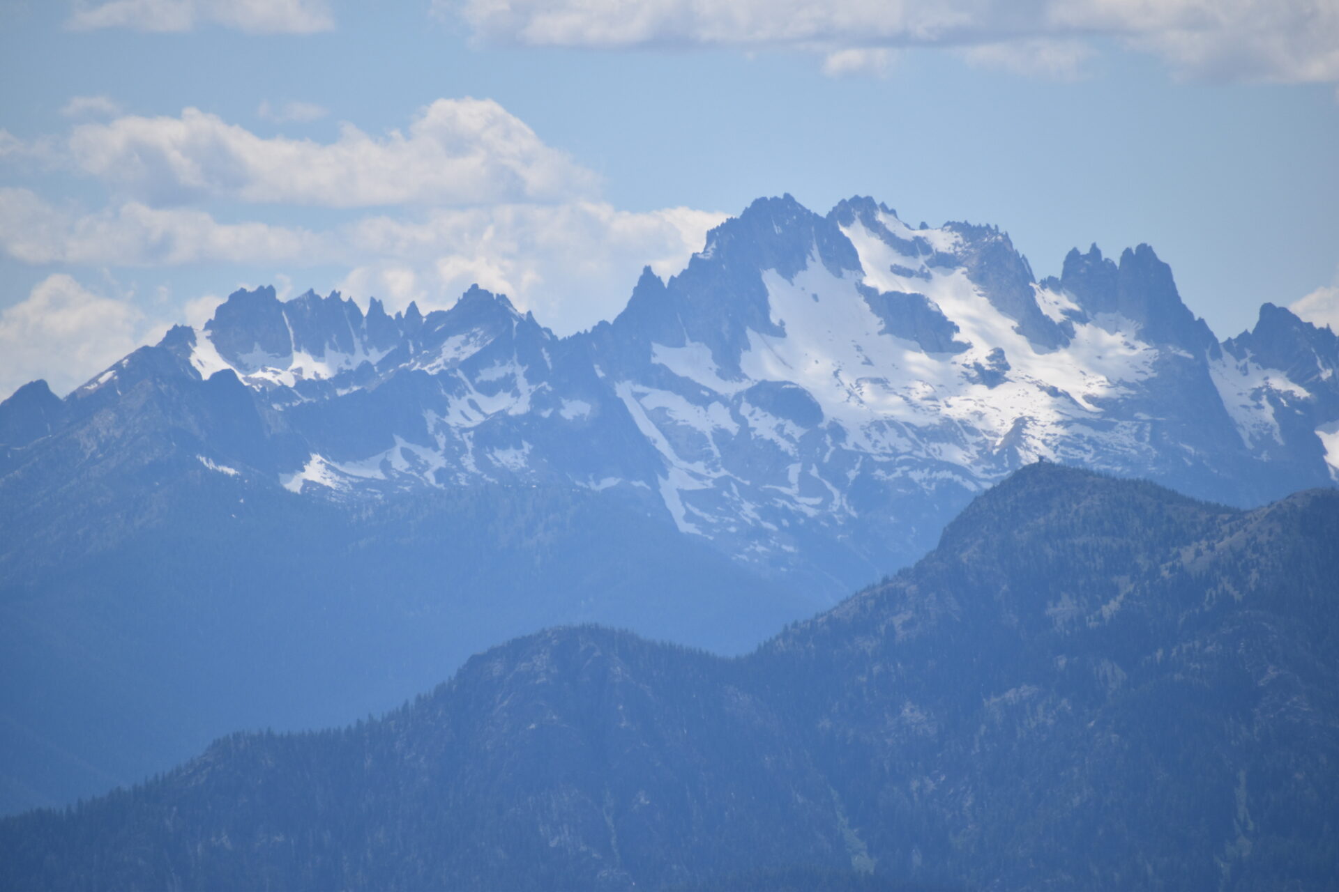
From the summit I had spectacular views of Big Craggy, Silver Star, the Gardners, Wolframite, Peepsight, the big peaks of the Pasayten, and even Eldorado and Formidable. I also had a fantastic vantage of Goat Peak fire lookout, dwarfed by Silver Star looming large in the background. I was able to find First Butte and could also clearly see both the cupola and tower fire lookouts on nearby North Twentymile. The views from Doe are huge!
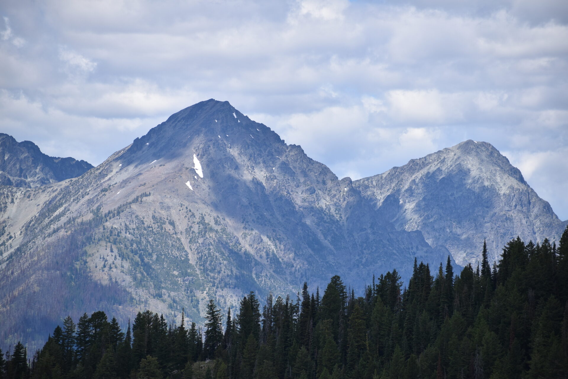
After a short rest, I left my pack on the summit and Hudson and I did the quick half mile ridge traverse over to Ike Mountain. The ridge drops down a short bit on the north side of Doe before climbing up an easy but rocky slope to the summit. Ike is a worthy objective, but Doe is really the star on this one. After tagging Ike we returned pretty quickly to the wide summit of Doe.
With Valley temps in the 90s, Doe’s vast 7,154′ summit provided great relief, as did the occasional cloud cover. I stayed a while on the surprisingly bug-free summit, fully soaking up the views and the refreshing temps. The way down went as easy as the way up and we were back to the road before we knew it.
Though I saw no wildlife on this trip, there were lots of moose tracks on the game trail. All total we covered about 6.5 miles round trip with 2,000′ gain, nothing too tough. Once upon a time in the 30s it seems Doe was home to a 6’ wooden L-4 tower, but it was removed in the early 50s. Today, Doe is a sublime cross country outing along a mostly open ridge line with stunning views and solitude that are a fantastic reward. Definitely a 5-star former fire lookout site in my books!
To Doe Mountain
Date Climbed: 7/18/20
Distance (RT): 6.5 miles
Elevation Gain: 1,950′
Summit Elevation: 7,154′
To Ike Mountain
The side trip to Ike only adds about a half mile and under 100′ gain.