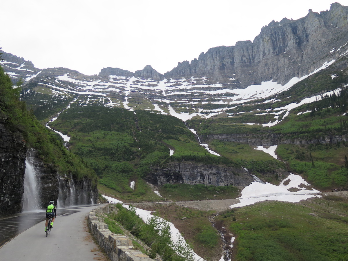
A few weeks ago I was chatting with my biking friend Martha about gravel rides and we joked about some of the long drives we’ve done for short but rewarding efforts. She mentioned she was planning a weekend trip to Glacier National Park to bicycle its scenic Going-to-the-Sun Road before it fully opened to vehicles for the season and asked if I had interest in joining her.
I had no idea that much like the North Cascades’ Highway 20, the Going-to-the-Sun Road has a small window in spring during snow removal operations where the road is open, with some restrictions, to foot and bicycle traffic only.
Hmmmm… visit Glacier, a National Park that has been on my “must do” list for too long? And ride a scenic road still closed to cars? Yes please!! I needed no convincing.
Early in June 2018, I finally experienced the awe of Glacier National Park firsthand, on a bicycle, with no cars. Bicycling the Going-to-the-Sun Road in spring when the road is still closed to vehicles is a bucket-list item and you should absolutely do it! I guarantee this ride will be one of the most memorable experiences of your life! Traveling by bike gives you the time and space to enjoy every detail of this stunning National Park without worrying about traffic or crowds. It’s simply spectacular!
I wrote up a mile-by-mile guide, with lots of photos of course, and tips about where to stay, what to bring, and the best local places for food and beer.
Glacier National Park and the Going-to-the-Sun Road
Glacier National Park, established in 1910, encompasses over 1 million acres of spectacular mountains, meadows, lakes, and glacial-carved valleys. Known as the “Crown of the Continent”, it contains the largest intact ecosystem in the lower 48 and is home to moose, mountain goats, black bears and grizzlies. Its plants and animals have remained unchanged since the Lewis and Clark Expedition. When you think about it, that’s extraordinary!
The 53-mile Going-to-the-Sun Road, or simply Sun Road, bisects the park from east to west. Completed in 1932 after three decades of construction, 500,000 pounds of explosives, and nearly $2 million, the road was officially dedicated on July 15, 1933. It crosses the Continental Divide through Logan Pass at an elevation of 6,646’.
It’s considered one of North America’s most difficult roads to plow thanks to 80’+ snow drifts and a deep snowfield on the east side of Logan Pass called the Big Drift. The road typically opens to vehicles in mid to late June and takes crews about 10 weeks to clear.
In spring while snow removal operations are underway, hikers and bikers can use the road up to certain closure points while crews are working and when they’re not, you can go as far as you’d like! The park maintains updated road information including plowing status and restrictions on their website.
Glacier, here we come!
Martha and I made a plan for the weekend of June 8-10th based on a sunny forecast we hoped would hold. There’s a pretty small window of opportunity to bicycle the road when it’s plowed all the way to Logan Pass, still closed to vehicles, and the weather is favorable! We were crossing our fingers to hit it.
Though weather shifted a bit as our departure neared, we still had a sunny Saturday forecast before rain and potential storms moved in later Sunday, so we loaded the bikes and hit the road bright and early on a Friday for our long drive to Montana.
Going to the Sun
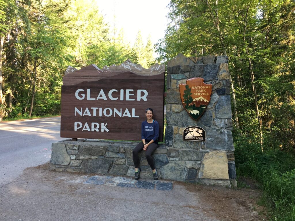
I have to admit, when we finally entered Glacier National Park Saturday morning I almost couldn’t believe I had finally made it. Even better? It was a beautifully warm, blue bird day!
Most people begin their ride from the road closure at Avalanche Creek, about 15 miles past the west entrance unless it’s early season and the road is still closed at Lake McDonald. Though the road was open to Avalanche Creek, we made a quick stop at Apgar to enjoy a quiet morning view of Lake McDonald, then started our ride from the Lake McDonald Lodge. It adds about 12 miles round trip to the ride, but it’s mostly easy mileage that I’d highly recommend.
We rolled out at 9am, thinking the morning air would be cool, but much to our surprise the warm, sunny day was shaping up warmer than expected. I was down to shorts and a tee almost instantly.
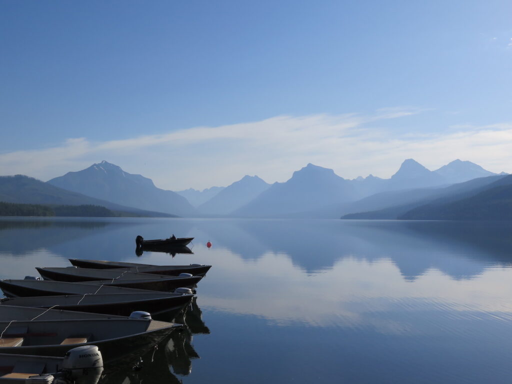
Mile 2: McDonald Creek Overlook
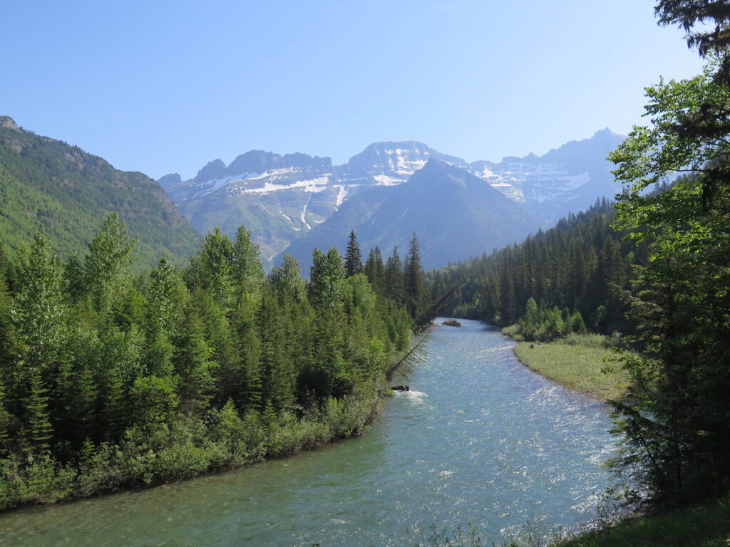
Starting at Lake McDonald Lodge, you’ll head along the north end of Lake McDonald past McDonald Falls and some beautiful sections of McDonald Creek. There are lots of places to pull off and enjoy the creek.
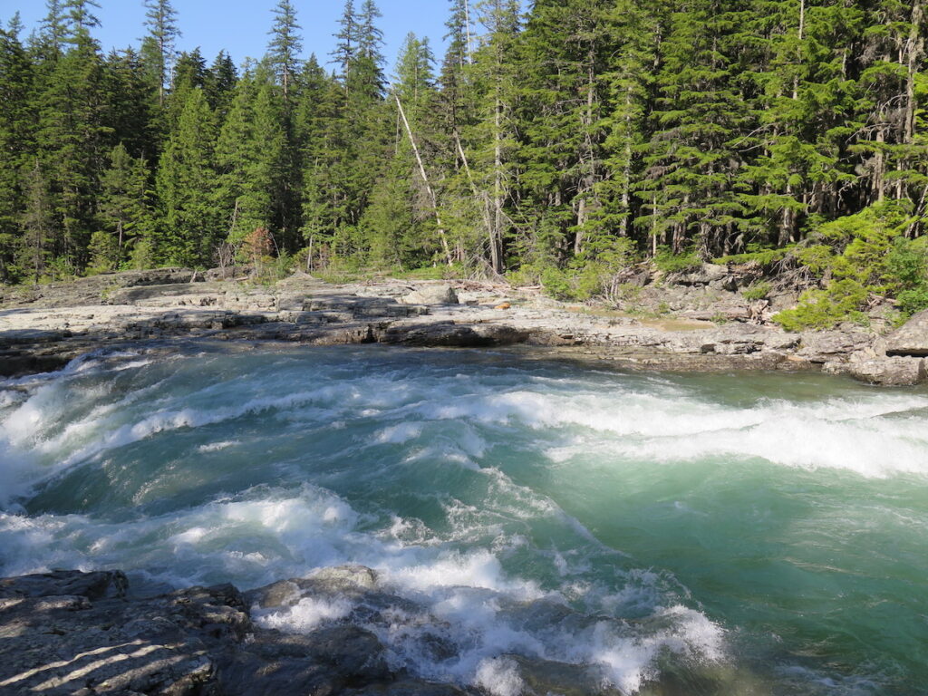
Mile 5: Avalanche Creek
While road clearing is underway, this is usually the furthest road gate and typically where most people start the ride. It was apparent lots of cyclists were out to enjoy this beautiful day because the parking lot was completely full when we rolled through around 9:30.
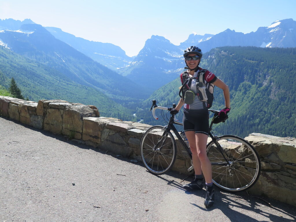
Once we crossed the road gate I couldn’t help but smile. For the rest of the day there would be no cars, no choking on exhaust, no riding on the edge of the road, and no worries about traffic. It was only the road and a lot of other cyclists (and a few runners) whose big smiles seemed to show they were just as happy as me!
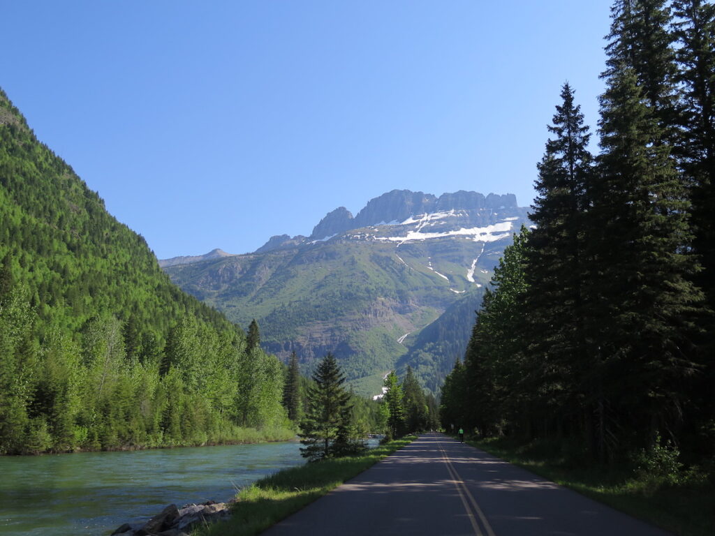
Mile 6: Red Rock Point
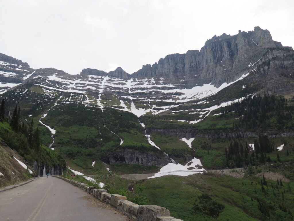
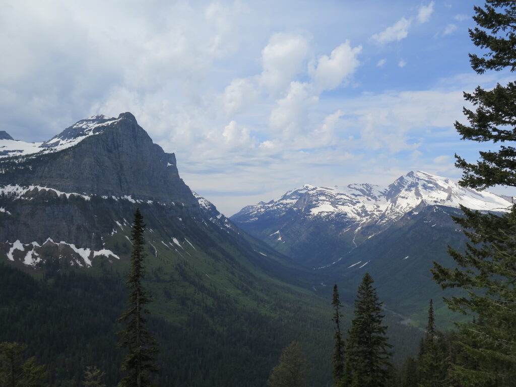
From Red Rock Point, enjoy more views of the cascading waters of McDonald Creek. Soon after, you’ll see the road way up ahead winding up to Logan Pass in the distance. Almost vertical peaks with huge waterfalls dominate the views to your left and right. You’ll be challenged to not want to stop every 10 feet!
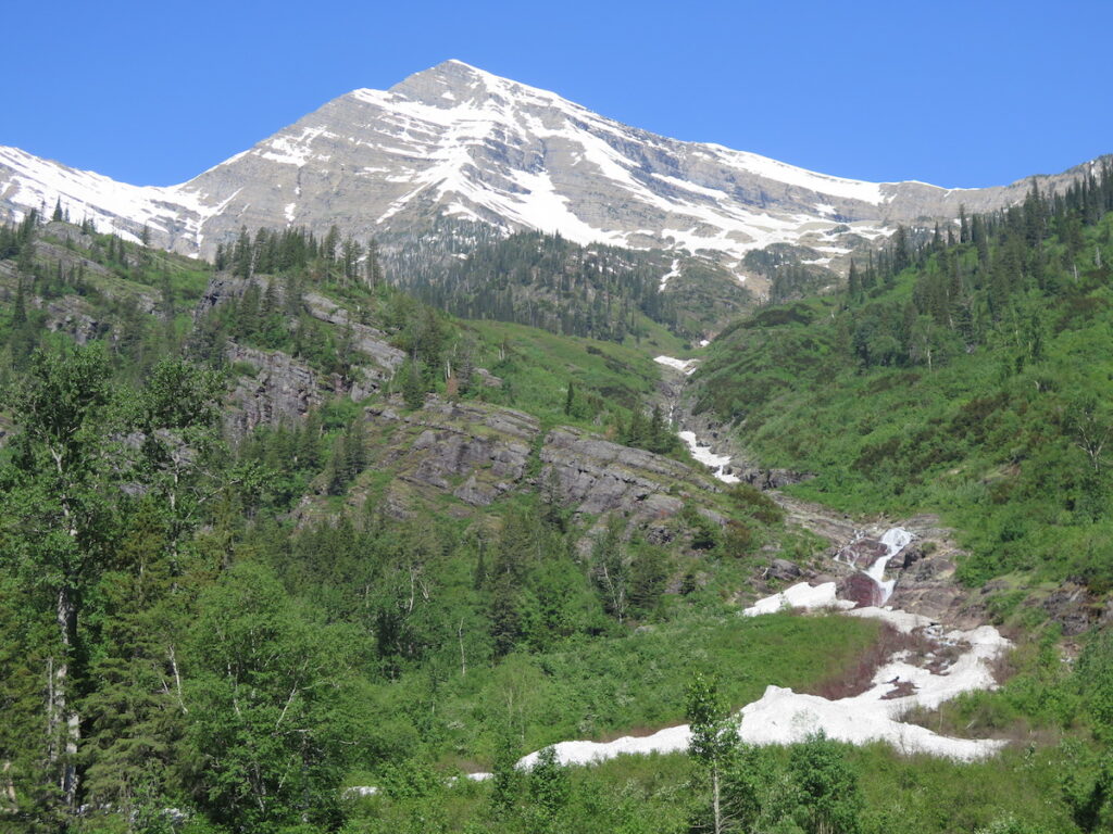
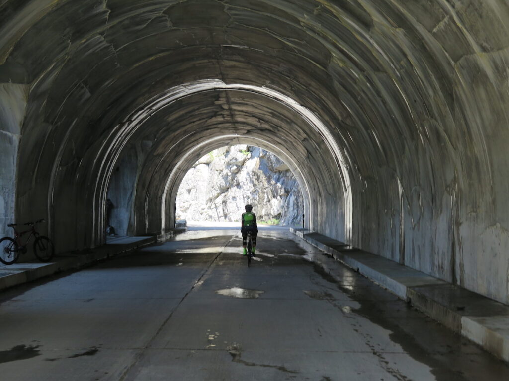
Mile 13: West Side Tunnel
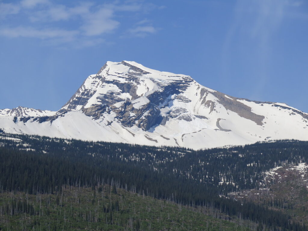
Just before the West Side Tunnel the road takes an uphill turn and the real climb begins. You can focus your attention to Heavens Peak dominating the horizon ahead. Marvel at the amazing craftsmanship of this 192-foot long tunnel and the windows that peek at views over to the Upper McDonald Creek Valley.
Mile 14: The Loop
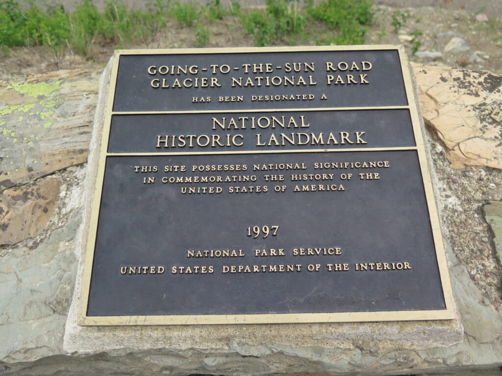
At the Loop, the road makes a sharp 180-degree turn and is a great place for a little break before the big 10 mile climb to Logan Pass begins. The Loop has restrooms as well as interpretive signs and a National Historic Landmark plaque. Take your time, stretch your legs, and enjoy the views. It’s all uphill after this!
Mile 16: Bird Woman Falls Overlook
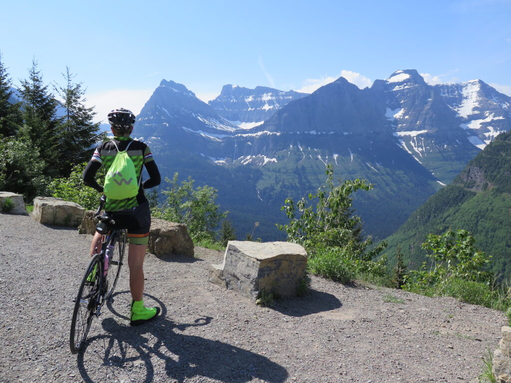
After the Loop, enjoy the cross valley view of the stunning 492-foot Bird Woman Falls, cascading from a glacier between Mt. Oberlin on the left and Mt. Cannon on the right. The falls is best observed in spring when it’s running full from snowmelt.
You’ll see the road continuing far into the distance, all the way to Logan Pass. It looks daunting, but the views get bigger and bigger, so keep going and don’t be intimated. From here it took me about an hour and a half to reach the Pass and I wasn’t moving all that fast. Why would you want to!?
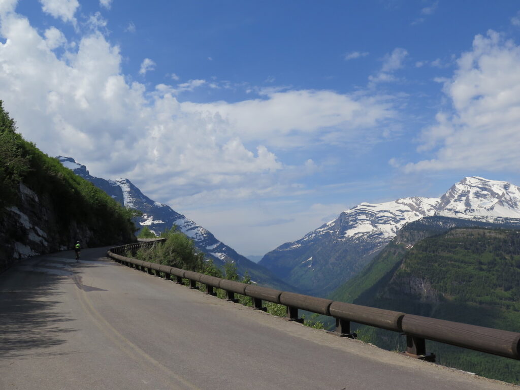
Mile 17: Haystack Falls
Haystack Falls, measured to be about 490’ in height, flows down a steep slope, underneath the road, and then plunges further down valley. It’s a great place to admire the ingenuity of the road construction and again, take in all this beautiful vast scenery.
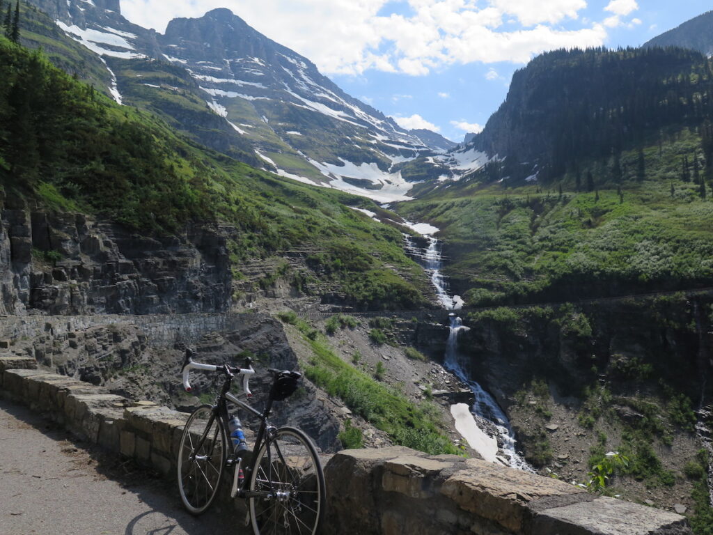
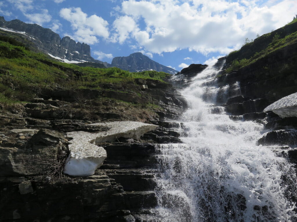
Mile 18: The Weeping Wall
This 100-foot long feature of the Going-to-the-Sun Road is best in early season when water “weeps” over the rock face of the road, fed by spring snowmelt.
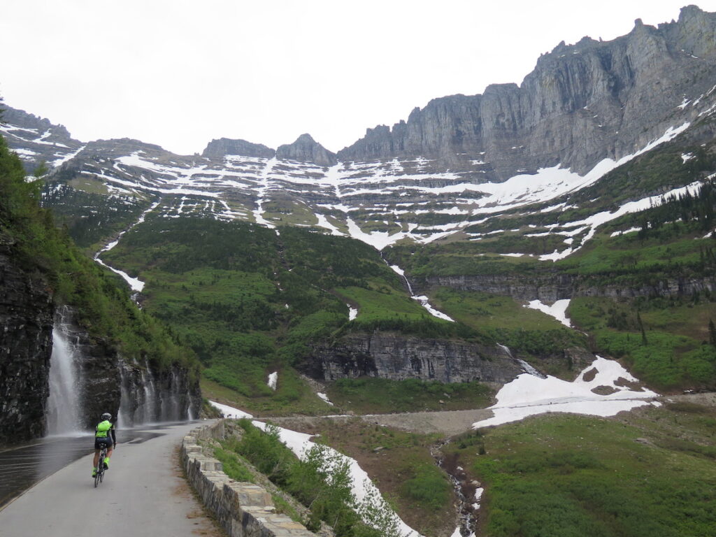
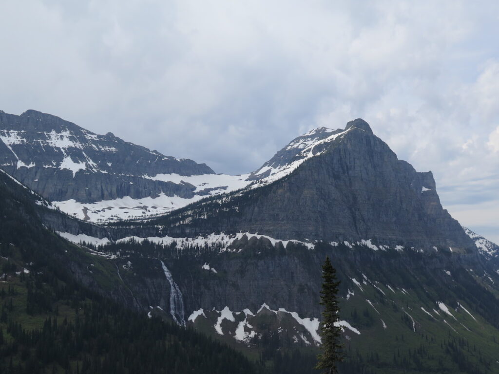
Mile 19: The Big Bend
The Big Bend provides a fantastic vista of Mt. Canon, Mt. Oberlin, Heaven’s Peak and the Weeping Wall.
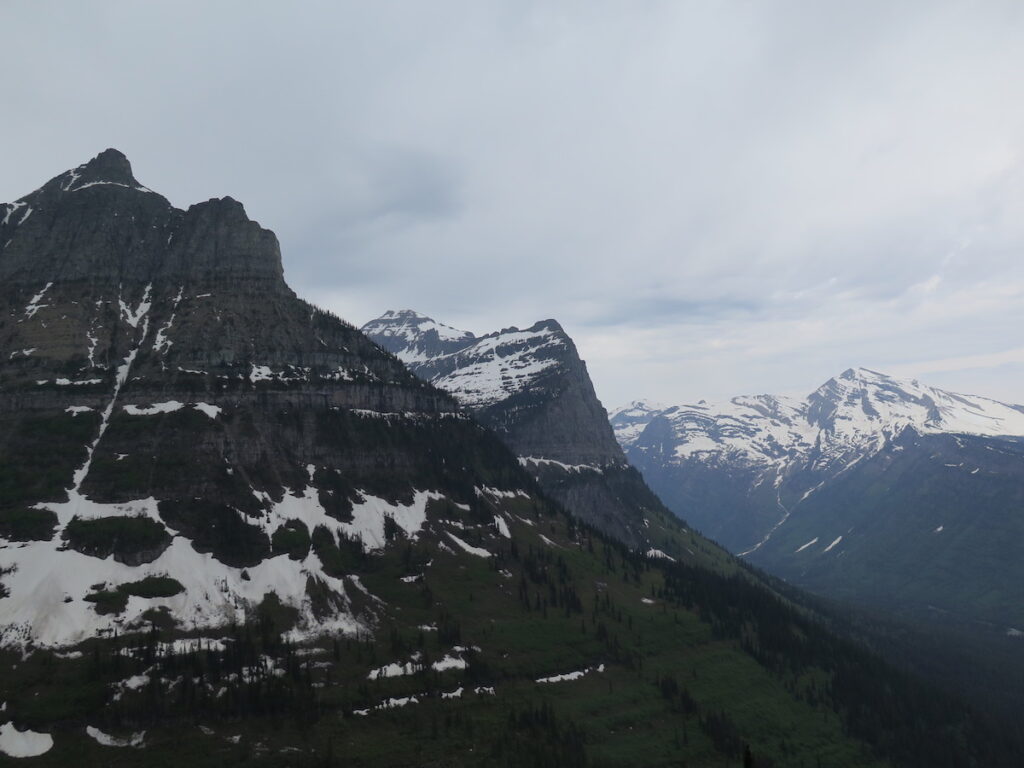
Mile 20: Triple Arches
The triple arches are one of the engineering marvels of the Going-to-the-Sun Road. This stone bridge was constructed across a steep gully and is best viewed when traveling eastbound. Keep your eyes open or it’s easy to miss it.
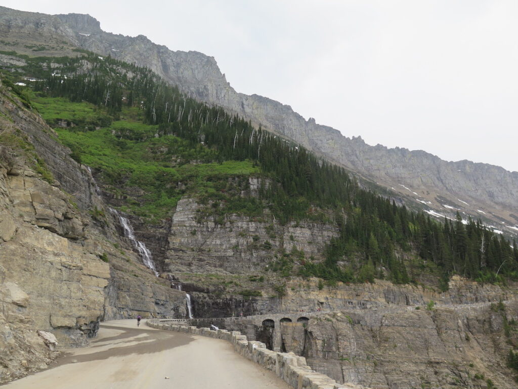
Mile 21: Oberlin Bend
From Oberlin Bend you can look back and see the road winding up the mountainside and realize just how far you’ve come. It’s also a great place to spot mountain goats and we saw two on our trip!
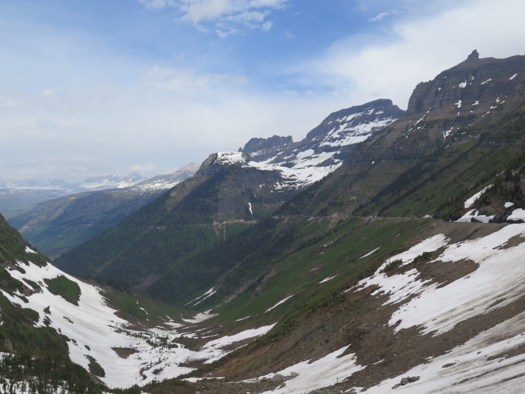
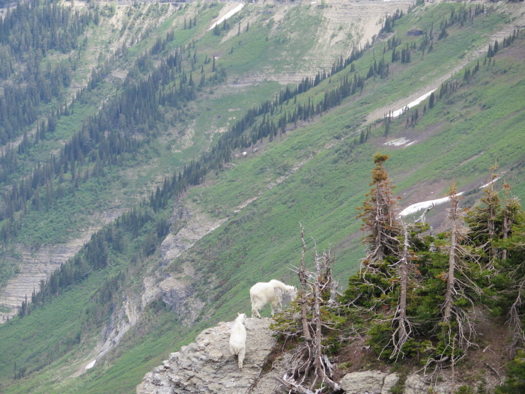
Mile 22: Logan Pass
After a long 10 mile climb you’ll finally reach Logan Pass and be rewarded with tremendous views of Going-to-the-Sun Mountain and peaks to the east. With lots of snow still lingering at the pass, I couldn’t do as much exploring as I would have liked in bike cleats, but the reward of reaching the top was plenty!
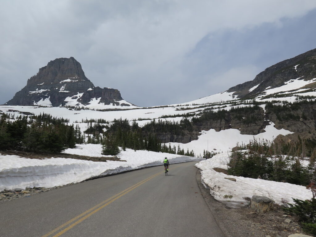
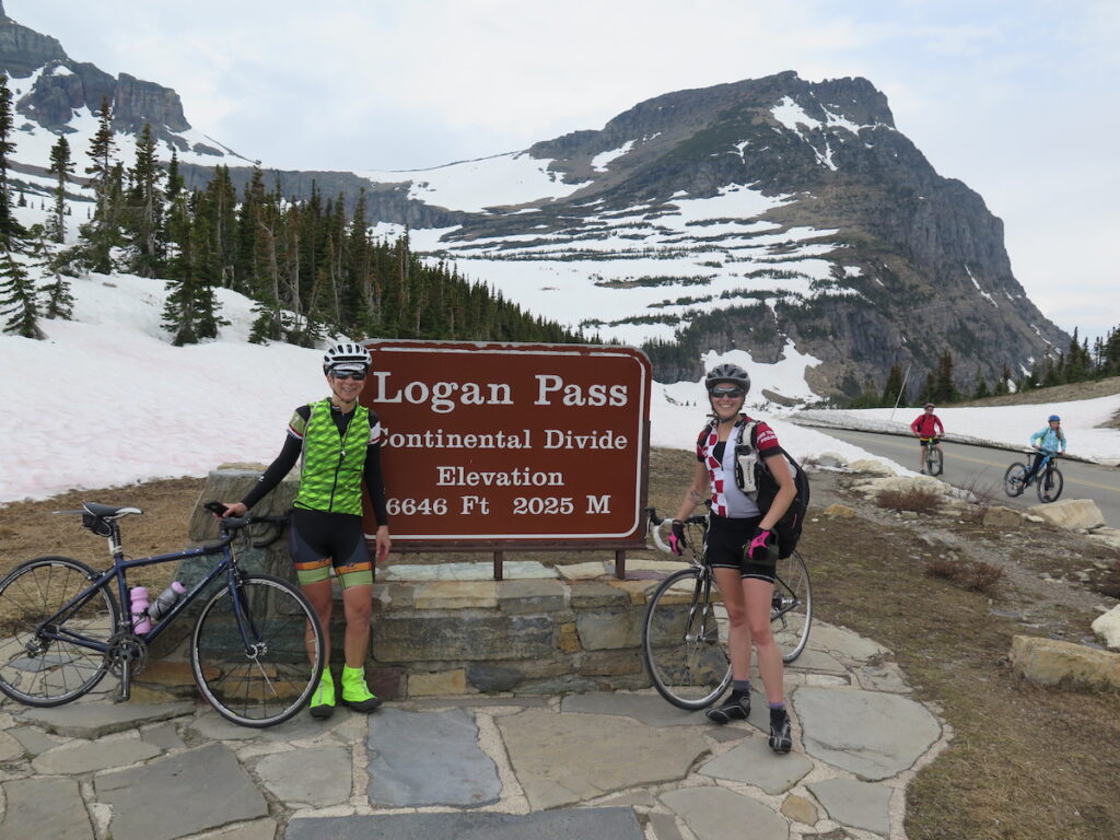
A few minutes after we made it to Logan Pass, I rode over to the far corner to take a shot of the eastern views. About that time, a young grizzly bear sauntered into the parking lot, putting on quite a show for everyone at the summit. His main interest seemed to be scratching his back on a big pile of logs!
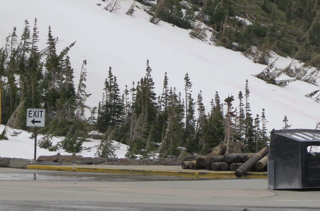
Unfortunately I only got one photo of the eastern views since the bear decided to walk towards the parking lot and everyone retreated, but I certainly can’t complain about that! It was a real treat to see a grizzly in the wild, my first, and it was even better to see everyone respectively keeping their distance and giving the bear plenty of space.
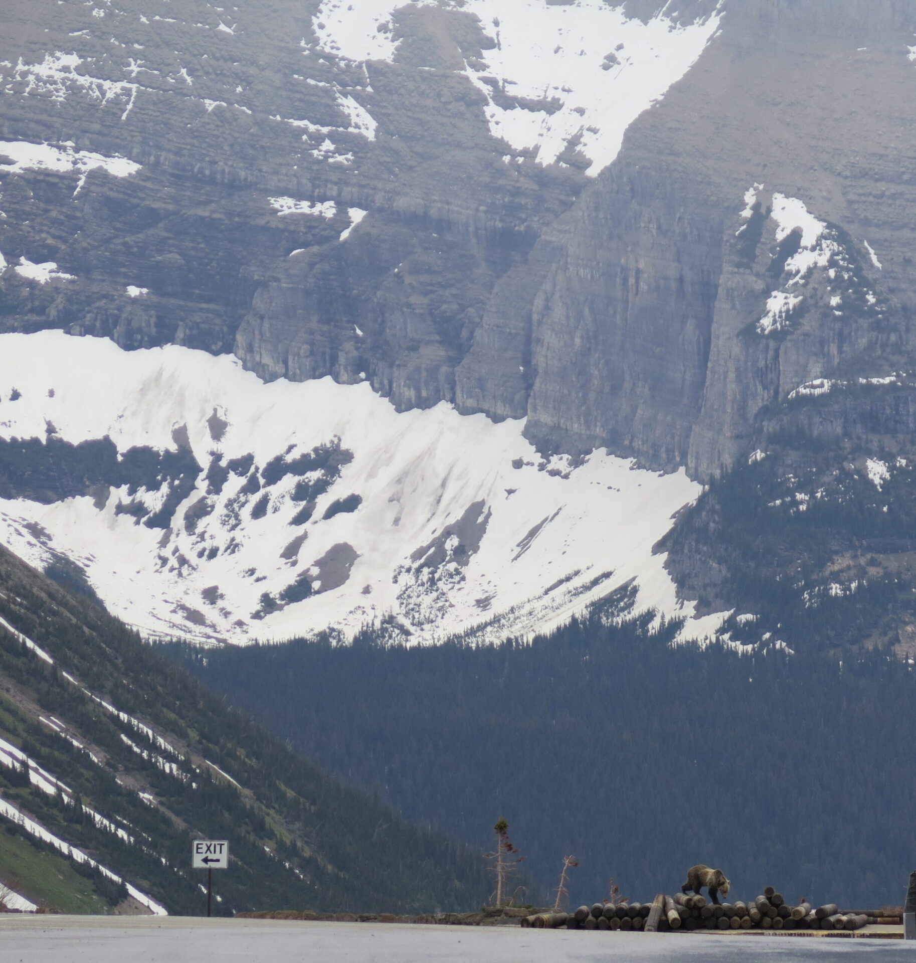
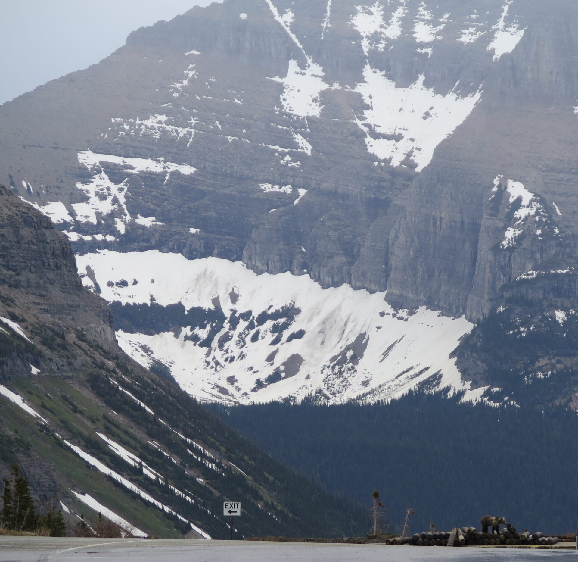
With dark clouds building in the distance and blue sunny skies turning to intermittent showers, we didn’t stay all that long at the top. We were pretty lucky to have dodged the weather and simply couldn’t have asked for a better day!
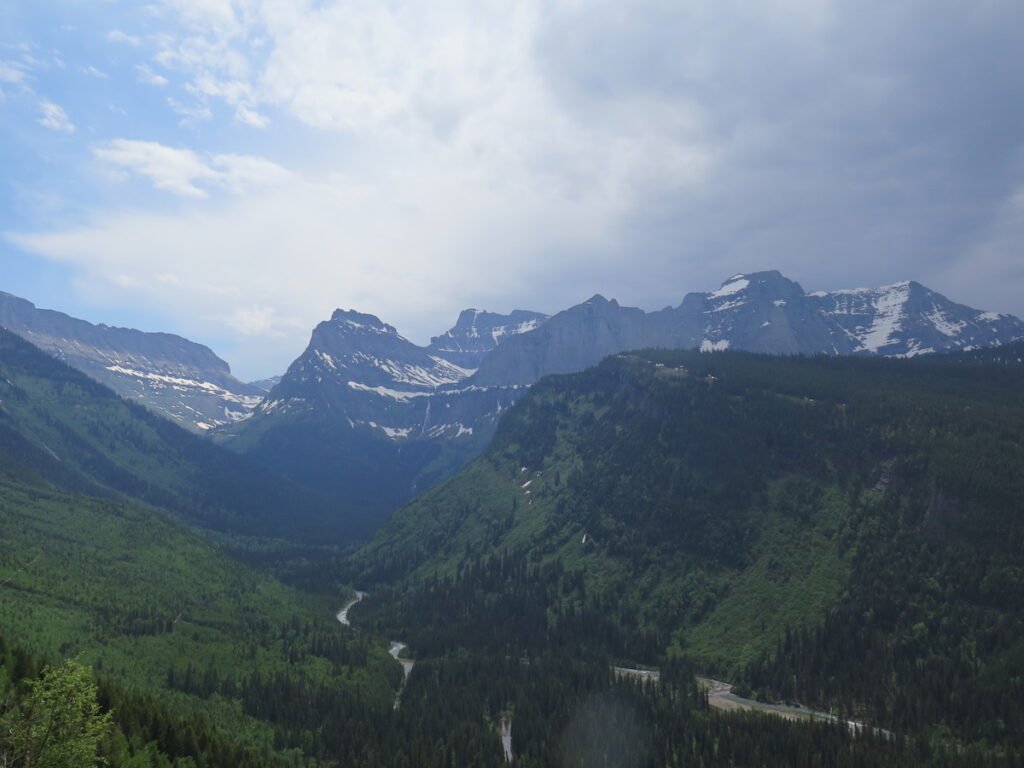
The Downhill
Now that the climbing was done, I geared up in my puffy jacket and warm gloves for the colder ride down. The descent is easy and will take a fraction of the time it took to climb up, but don’t miss out on seeing the road and the landscape from a different perspective. It was nice to give my hands a break from braking so I still took plenty of stops. Take your time and use caution on the way down as the road near the Weeping Wall can be slick.
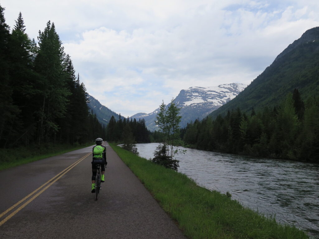
Finally back at the Avalanche Creek road gates, we experienced the only downside to our entire trip: mosquitoes! We got caught at a road construction flag point and 5 seconds after stopping were swarmed by at least 1 million+ mosquitoes. I wish I were exaggerating!
The flagger took pity on us and let us through, thank goodness. I’m not sure how those poor construction folks were surviving out there. So keep in mind that if you decide to camp at the Avalanche Creek campground, you might want to have the most powerful mosquito repellant known to man. Luckily, we had no issues with mosquitoes the rest of the ride.
The Experience
Plan all day for this ride because you’ll be stopping every 10 feet and consider booking a massage appointment for your neck after the ride. You’re going to spend a lot of time looking straight up!
What struck me most about the day was the vast variety of people on every type of bike imaginable. I saw couples, groups, singles, and families with kids riding road bikes, mountain bikes, e-bikes, and fat bikes. It was inspiring and humbling to see so many people of varying fitness levels out enjoying this incredible National Park.
Everyone kept their distance from wildlife, especially the grizzly at the top, and I didn’t see a single piece of litter. There were a few people railing the descent a bit faster than was prudent given the traffic, but overall, I was impressed that everyone was acting as a great wilderness steward and carrying extra gear, bear spray, and essentials. I saw few who seemed unprepared.
There were more cyclists than I expected, likely a few hundred the day we rode, but it was a far cry from the typical crowds the park draws in summer. It was an incredibly personal, quiet way to enjoy Glacier National Park and so uplifting to see everyone with big smiles. Maybe this is the new future? Human- and e-powered National Park visitation? Sure beats vehicle traffic any day!
A huge thanks to Martha for including me on this one. What an experience I’ll always remember and one you should absolutely do at least once in your lifetime.
Ride Stats and GPS
Want to Bicycle the Going-to-the-Sun Road?
When to go.
Weather and conditions dictate when you can do this ride, but it’s typically a short window between May and June. Once the road is open to vehicles, bicycle traffic is restricted. Early in the season you may not get as far and later in the season you may be able to get all the way to Logan Pass like we could. Check Glacier’s website for cycling information and road restrictions as well as plowing status and seasonal conditions.
Need a bike?
In West Glacier, near the Park’s west entrance, both Glacier Guides and Montana Raft and Glacier Outfitters rent bikes and offer online reservations for about $40+/day depending on bike. Glacier Outfitters does not allow their bikes on the Going-to-the-Sun road once it’s open to vehicle traffic.
What to bring.
Warm Clothes. Be prepared for highly variable weather! You should bring a small pack for this ride with warm gloves, some extra layers, and a rain jacket. I rode all the way up in shorts and a tee then used a puffy and heated gloves on the ride down. Weather can be severe at these altitudes, especially in spring, so be prepared! You never know when inclement weather might roll in.
Food and Water. Bring extra calories, you’ll need them! You should also plan for the ride to take longer than expected since the scenery is so spectacular. And don’t forget your summit treat!
Bear spray. In Glacier, bear spray is highly recommended and you should have a bell on your bike. This is grizzly, moose, and black bear habitat. Be educated about what to do in case of an encounter and know how to use your spray. If you visit midweek you may find yourself on lonesome stretches of road. Make noise and be aware of your surroundings.
Bike tools. Bring a spare tube, tire pump, and basic bike tools. We saw volunteers on the road keeping an eye on everyone but you should be self-sufficient if you get a flat or mechanical.
Where to start and other logistics.
Lake McDonald Lodge. If the road isn’t yet open to Avalanche Creek, you’ll have to start from Lake McDonald Lodge, about 15 miles past the west entrance of the park. Even if it is open, consider starting from Lake McDonald anyway. It’s an enjoyable ride along Lake McDonald creek that will add about 6 miles one way. Round trip to Logan Pass from here is 43 miles.
Avalanche Creek. Most cyclists start the ride from Avalanche Creek. The parking lot can fill quickly on weekends, so get there early or consider using the spring bike shuttle. Round trip to Logan Pass from Avalanche Creek is 30 miles.
Shuttle service. A hiker/biker spring shuttle service with a 16-bike trailer runs free operations between Apgar, Lake McDonald Lodge, and Avalanche from 9-5 on weekends until the road fully opens.
Where to stay.
The small town of Columbia Falls, located 25 minutes southwest of Glacier, was our home base for the weekend. It’s much less touristy than West Glacier and has great food and prices! We stayed at the Western Inn & Campground, which had clean rooms, friendly service, and a free simple breakfast bar. We were able to book a room that had two separate queen rooms.
Where to eat and drink.
Backslope Brewing
Fantastic, juicy burgers and a great local beer selection. I highly recommend their All-Day Porter! They’re open Monday-Saturday from 10-8, so get there early.
North Fork Pizza
A more limited beer and wine menu, but the pasta and pizza are great. I had the baked penne pasta with sausage after our ride and it was the perfect refuel! They also have gluten-free options.
Uptown Hearth
If it’s a perfect breakfast you want, this place delivers with buttermilk biscuits, a frittata of the day, tasty pastries, coffee bar, and a great space. Best breakfast I’ve had in ages!
The Trail of the Coeur d’Alenes.
Since Martha had made this trip already twice before, she suggested a road break just past the halfway mark from Seattle to do a short ride on the Trail of the Coeur d’Alenes. Considered one of America’s top rail-trails, its paved path stretches 72 miles across Idaho’s historic Silver Valley from Plummer to Mullan.
About 30 miles east of Coeur d’Alene you can easily access the trail right off I-90 in a town called Cataldo, Idaho. With well maintained bathrooms, informational kiosks, and picnic tables, the Trail of the Coeur d’Alenes makes a great stop on a long drive to Glacier.
Useful links.
Going-to-the-Sun plowing status and general information on bicycling, shuttles, and road restrictions.
