Okanogan Highlands | Kettle River Range
Colville Indian Reservation
Location: 48.374479, -118.427135
Summit Elevation: 5,520′
Lookout Type: log cabin
Site Established: 1926
Current Structure Built: 1926
Date Visited: 6/29/19
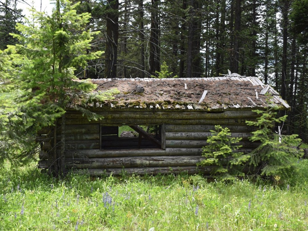
The historic Lynx Creek cabin isn’t without some debate in the lookout community as to whether it can be defined as a still standing lookout in its original location. It seems likely the nearby Lynx Mountain high point just to the northwest was the site of a former lookout, but regardless, the 1926 log cabin and a visit to the true summit are absolutely worth the trek.
Photos from 2019.
History.
Ray Kresek’s inventory states that in 1926, there was a log cabin just below the Lynx Mountain summit, which still exists. It also mentions a frame cab atop the west summit in 1932 and a 30′ steel tower with 7’x7′ cab in 1938, later abandoned in 1952.
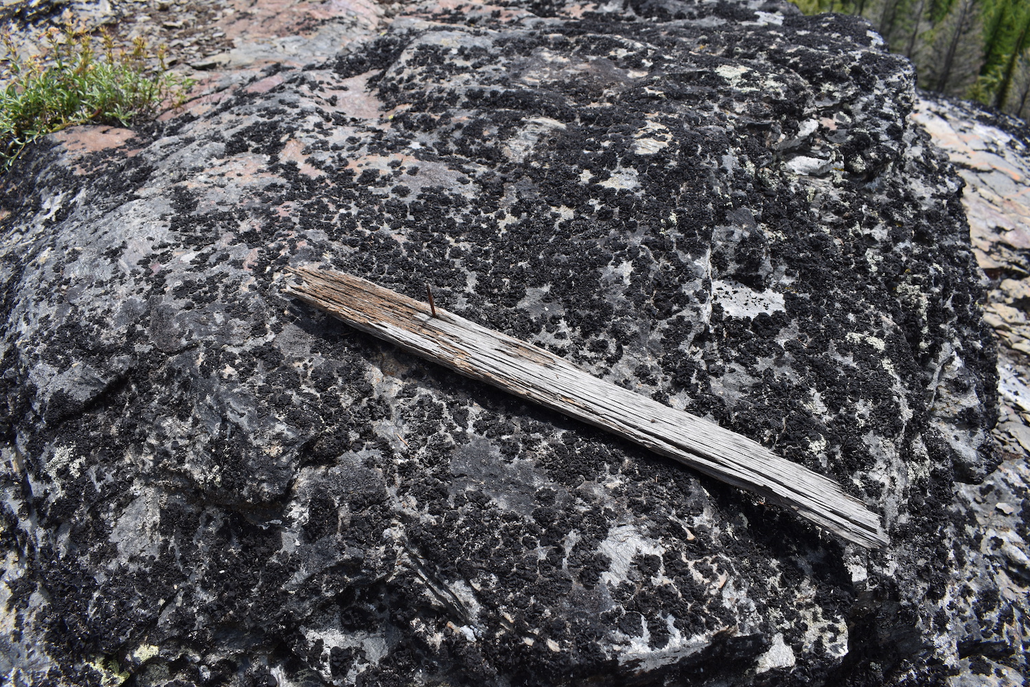
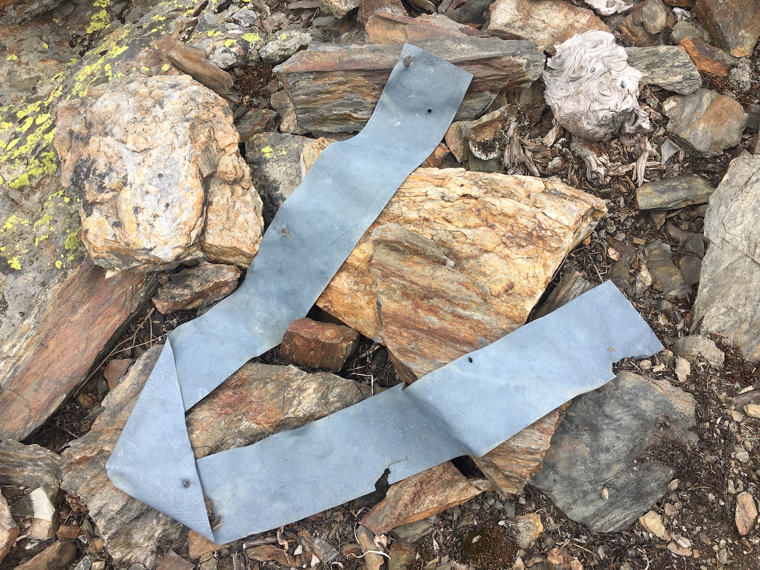
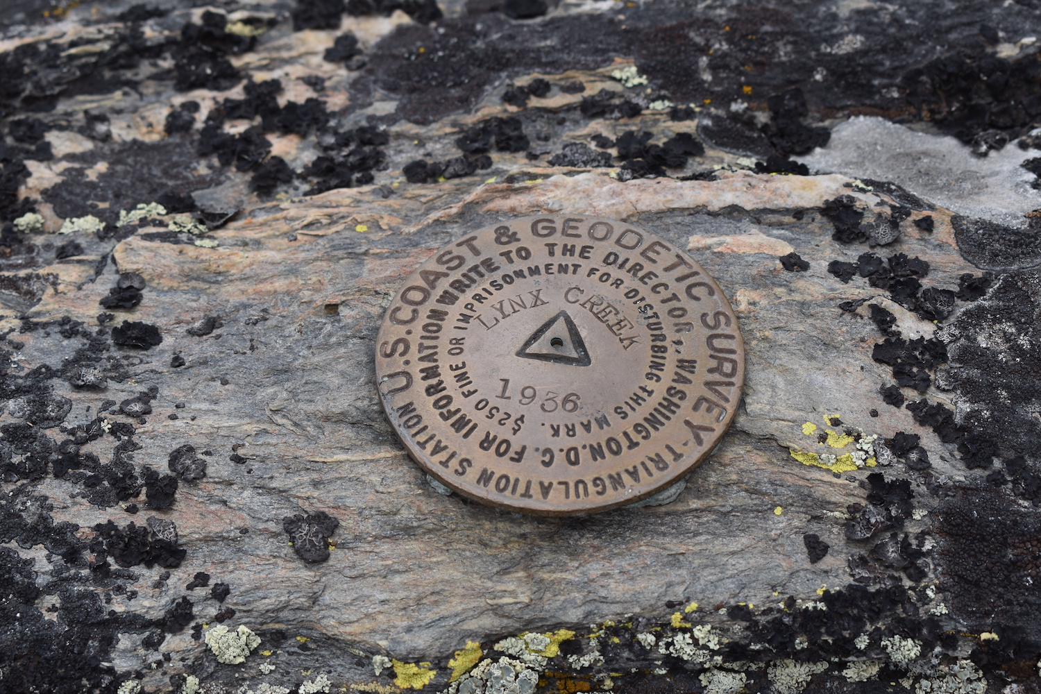
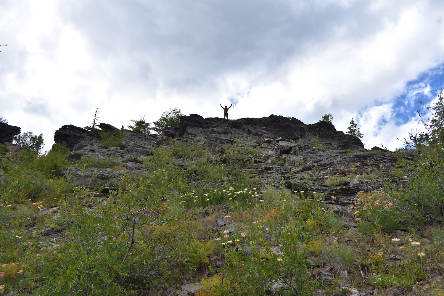
During my visit to Lynx in 2019 with my dad, we also made a visit to the true summit and found quite a bit of old glass, nails, and debris, so I think it’s highly likely that was the location of some type of tower. Eric Willhite and some others believe the cabin was used as a ground house quarters, which makes sense.
The Summit Trail Fire started by lightning on July 12, 2021 burned nearly 50,000 acres through much of the Lynx Creek drainage and surrounding area. Fire crews reportedly applied structure protection to the historic cabin and it did survive the fire though access to Lynx may be tricky due to fire damage and road conditions.
The route.
Distance (RT): 4 miles*
Elevation Gain: 860′
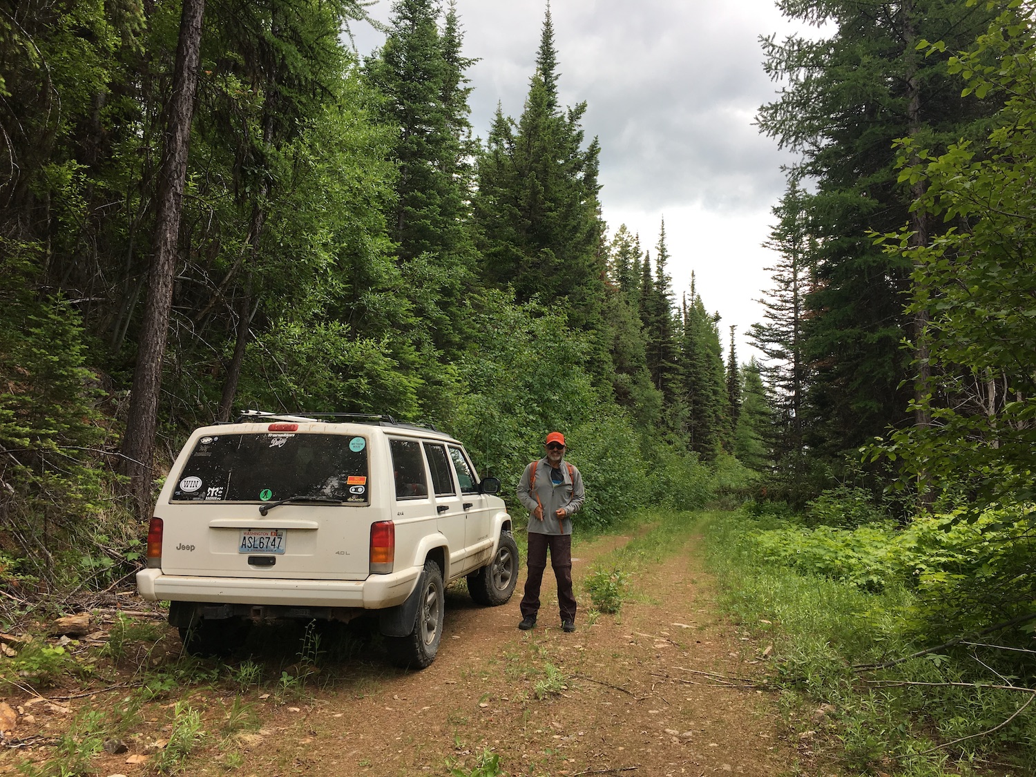
*Mileage depends how far you’re able to drive on rough overgrown roads. The approach from the north was reasonable for most vehicles when I visited in 2019 but fires in 2021 might have severely impacted access.
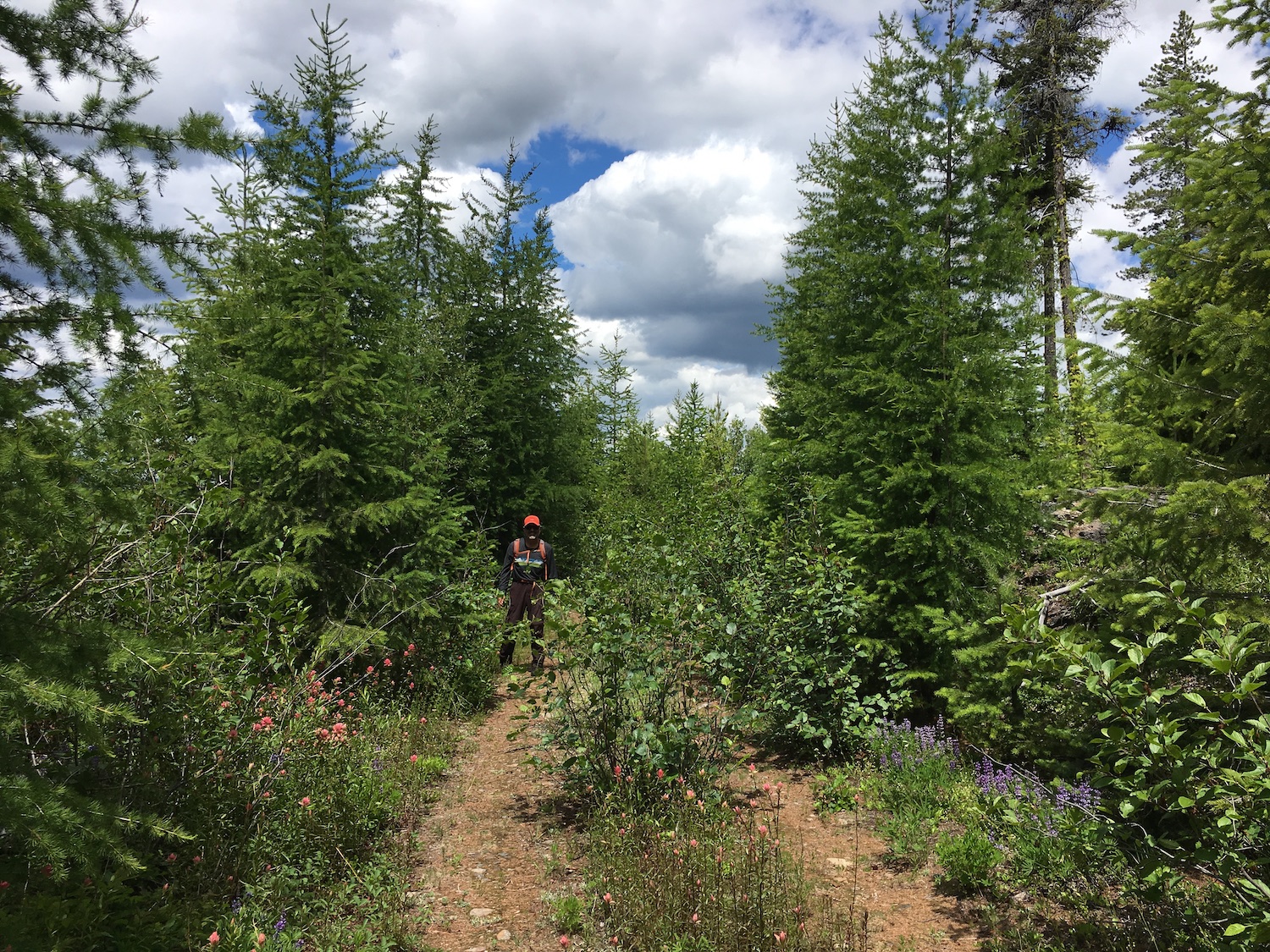
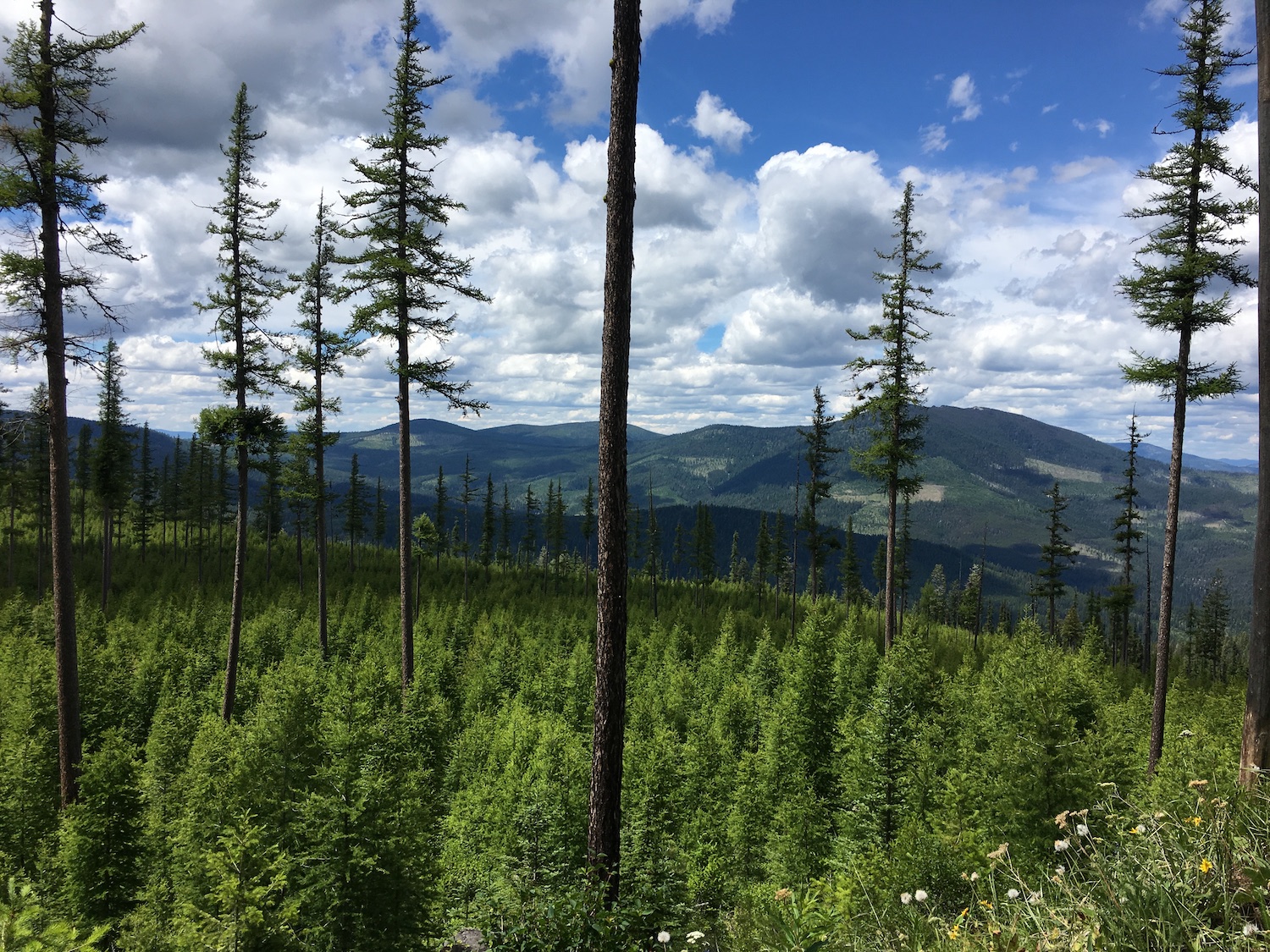
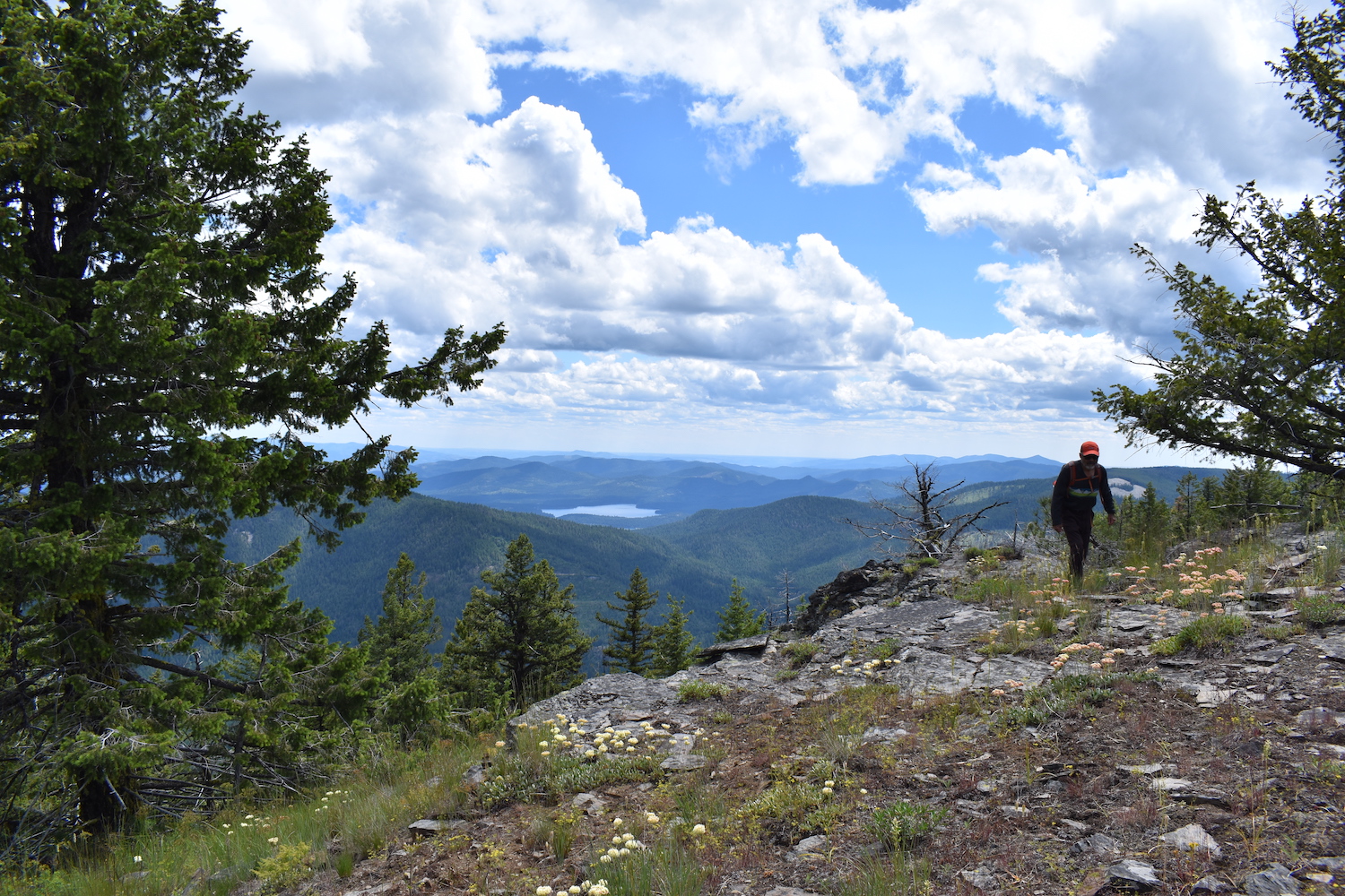
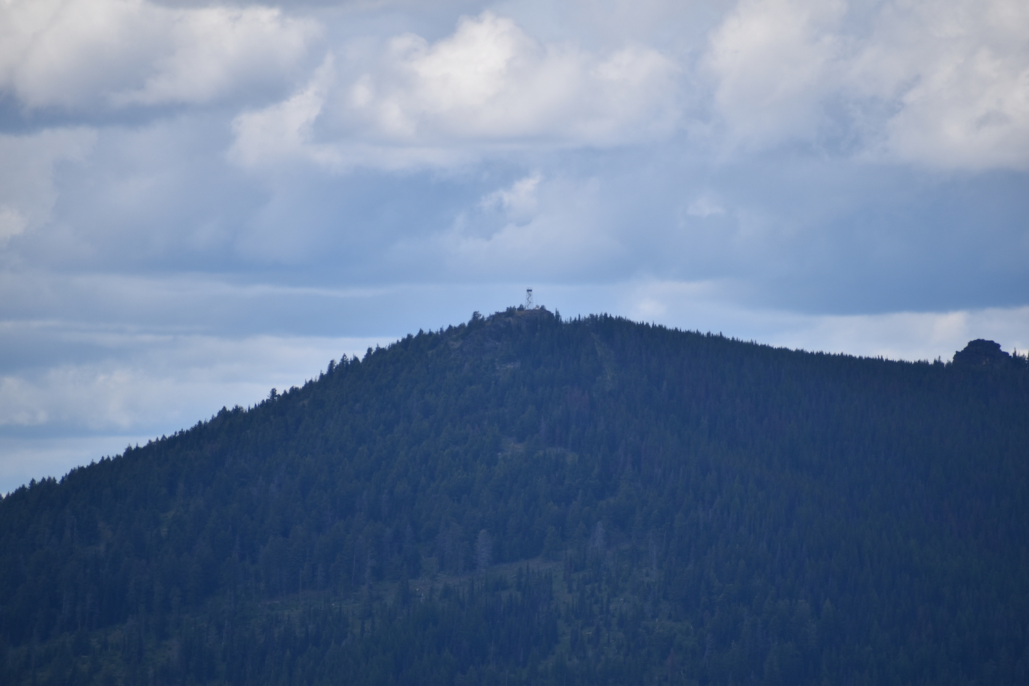
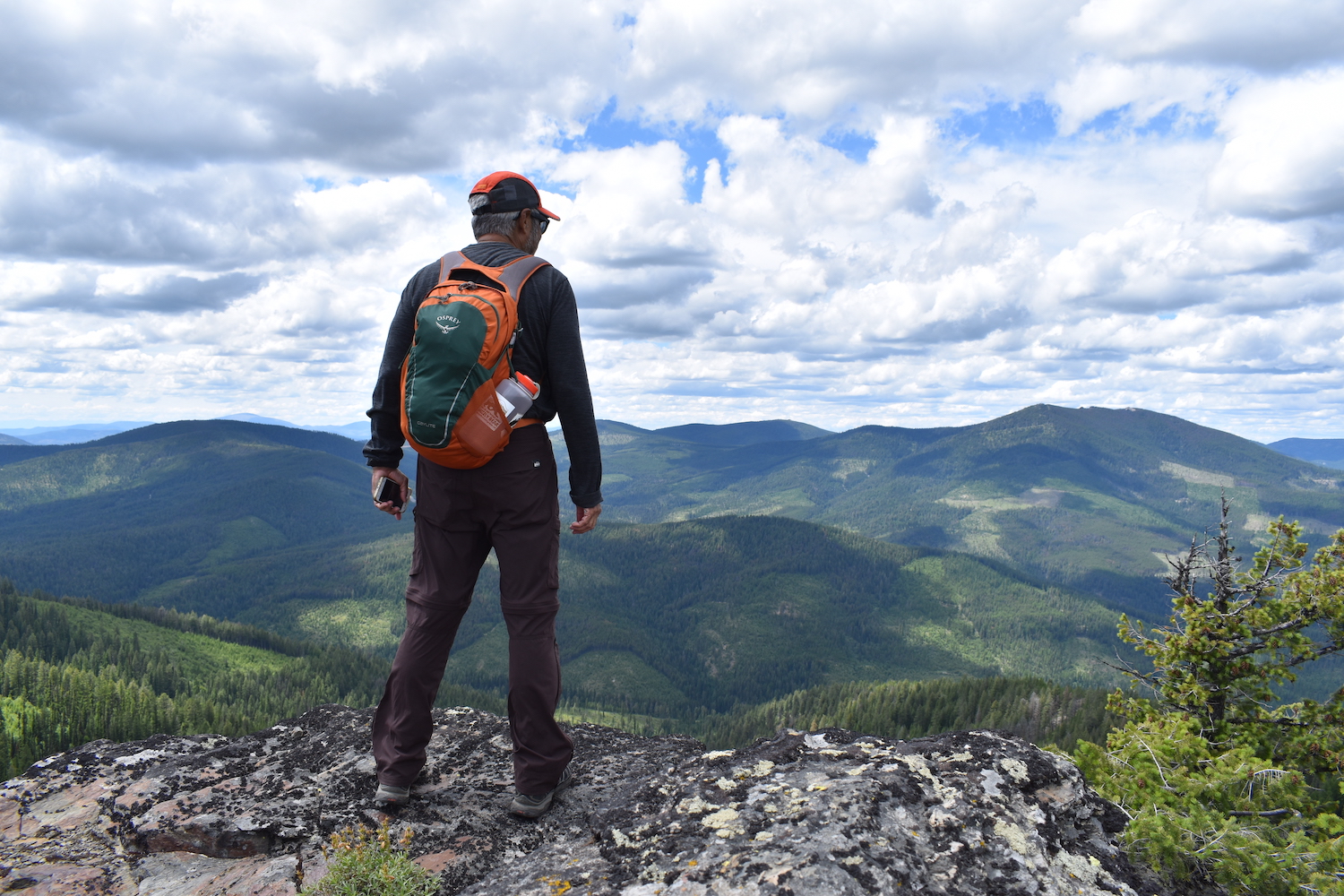
I thoroughly enjoyed this road hike up to Lynx and the surrounding country is really gorgeous! Once at the cabin its worth the extra quarter or half mile hike up to the true summit of Lynx Mountain, which has sweeping views of the area as well as some lookout artifacts.
Directions.
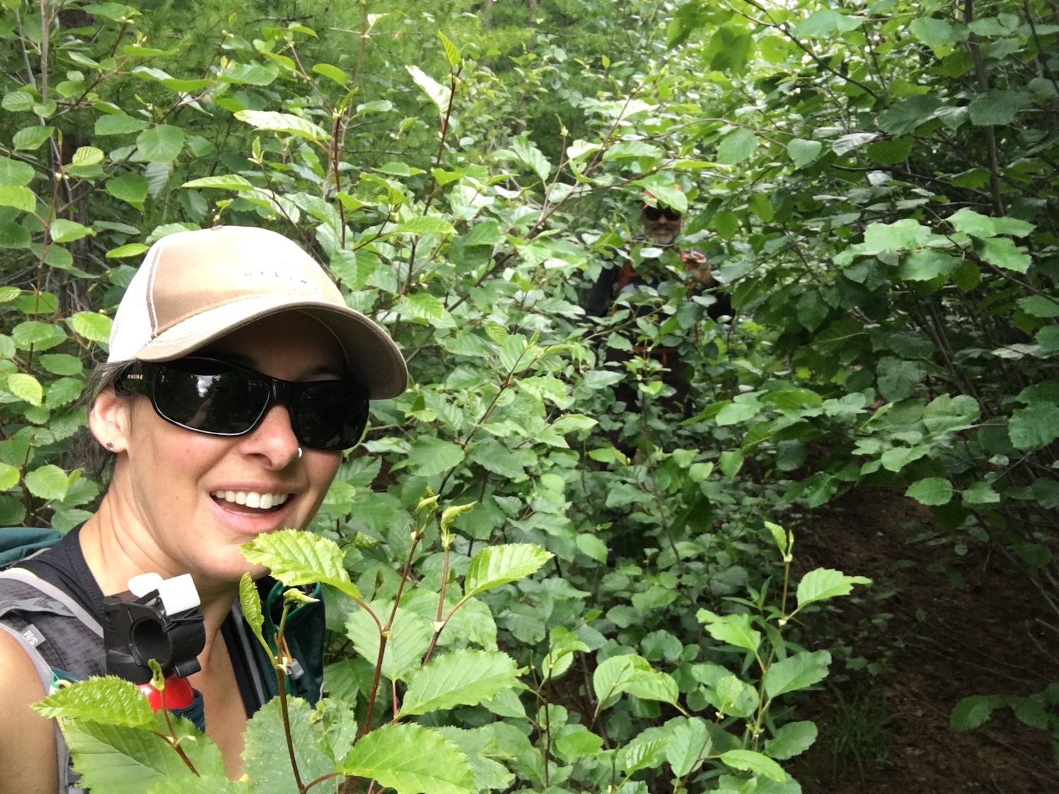
I combined my trip to Lynx with nearby Grizzly in 2019 and approached Lynx from the north side off Sitdown Creek. Coming back from Grizzly, I turned right onto Johns Mountain Road off Sitdown and followed it southwesterly to a junction to the west of the summit of Lynx. From there, the road climbed easterly up to the summit, slowly growing more overgrown. I stopped at roughly the 5,000′ mark due to overgrowth and a large downed tree and my dad and I continued on the road on foot to the summit.
Fires in 2021 burned through this area and might have significant impacts to access.
Note: To visit Colville Confederated Tribal land, non-tribal members must now purchase a recreation permit for $80/annually. Passes may be purchased online.
