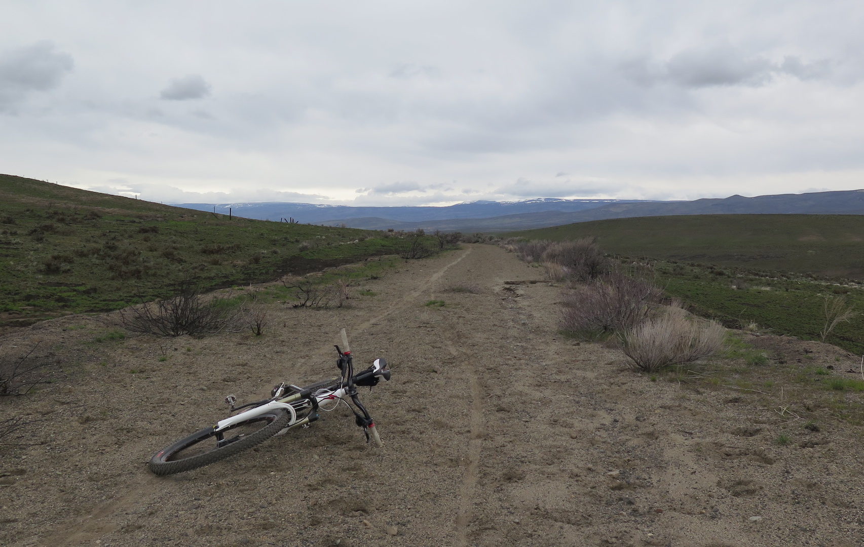
The Palouse to Cascades State Park Trail, formerly known as the John Wayne Pioneer Trail, spans 224 miles across Washington State from North Bend to Tekoa, Washington near the Idaho border. The trail corridor follows the former railway roadbed of the Chicago, Milwaukee, St. Paul & Pacific Railroad, more commonly called the Milwaukee Road, that connected Chicago and Seattle.
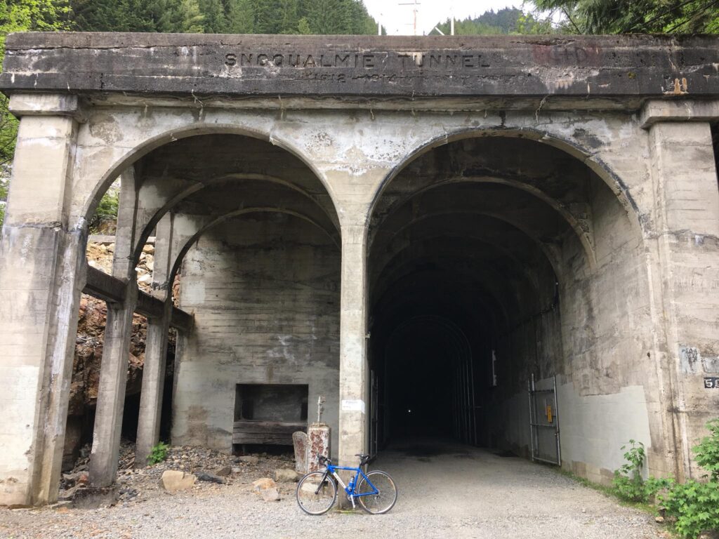
This trail is a real gem to have here in our state and a fascinating way to experience some railway history. It winds through Washington’s impressively variable terrain: mountains, forests, farmland, scrubland, and finally the beautiful rolling hills of the Palouse. The Palouse to Cascades is the 2nd longest rail trail in the country and it has the longest trail tunnel in the world, the 2.3-mile Snoqualmie Tunnel bored under Snoqualmie Pass.
Unfortunately, the trail has seen its share of challenges, mostly due to split ownership between the State, the DNR, and private landowners. There are still missing links that require detours to navigate and in 2015, State Representatives nearly gave away 130 miles of the trail to private landowners.
Western parts of the trail to Ellensburg are generally well maintained with numerous campsites, though eastern stretches are far more rough and challenging. I’ve ridden a stretch of trail from North Bend through the Snoqualmie Tunnel to Lake Easton and hope to ride more of the eastern stretches later this year.
Some Milwaukee Road history.
The Milwaukee Road began as the Milwaukee and Waukesha Railroad in 1847, operating as a local Wisconsin railway carrier. In 1874, the name changed to Chicago, Milwaukee & St. Paul and a Pacific extension broke ground in 1906. The primary rail line to the Pacific completed in just three short years in 1909 and the Snoqualmie Tunnel was constructed later from 1912-1914 to replace a temporary line over Snoqualmie Pass.
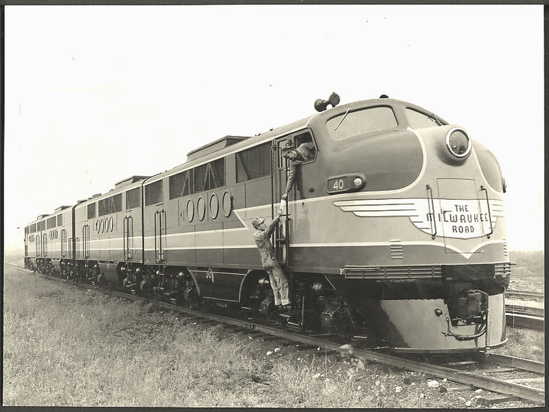
After several financial setbacks and difficulties, the railway emerged from bankruptcy in 1925 as the Chicago, Milwaukee, St. Paul & Pacific. It wasn’t long before it faced bankruptcy again and many blame bad leadership and questionable management. The last Milwaukee Road train ran in 1972 and the railway was abandoned in 1980.
It was then that Chic Hollenbeck, the founder of the John Wayne Pioneer Wagons and Riders Association (JWPWR), led an effort to convert the railway to trail and with his lobbying, Washington State purchased the Milwaukee road for $1.9 million dollars in 1981.
The converted rail trail was named the John Wayne Trail in 1985 in honor of the JWPWR’s efforts and in 2018, the Washington State Parks and Recreation Commission renamed the trail the Palouse to Cascades State Park Trail.
Milwaukee’s legacy.
Milwaukee’s 11,000 mile network held the honor of being the longest end-to-end rail network in American railway history. Their Pacific Extension was shorter than both the Great Northern and Northern Pacific, but would end up costing $257 million, well over the original $60 million estimate. Part of the expense was in purchasing private lands as the Milwaukee Road did not receive government land grants.
Milwaukee’s famed steam-powered passenger trains, the Hiawathas, commonly reached speeds over 100mph and the railway was known for pioneering long-distance electrification as well as innovative construction. The trestles and tunnels that remain on the Milwaukee Road are engineering wonders.
Biking from Renslow.
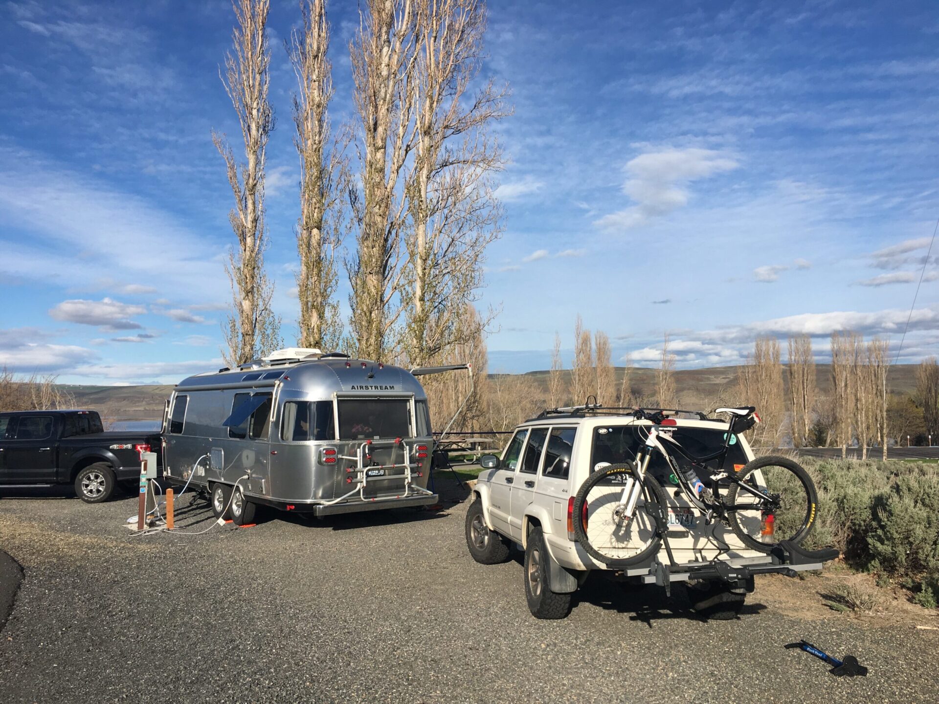
This past weekend, mountain snow forecasts had me contemplating a ski tour, then a friend told me that she and her husband were taking their Airstream to Vantage for a camping trip and invited me to join. I’ve been wanting to ride eastern sections of the Palouse to Cascades for years, so when my friends agreed to shuttle me so I could do a one-way 22-mile section from Renslow to the Columbia, I couldn’t say no!
I started my ride from the Army West Trailhead east of Kittitas. The real trick is getting there. Although the trailhead is located right next to I-90, there aren’t any convenient exits. From Vantage, you’ll need to either drive to Kittitas on 90 and then back track or take back roads that will eventually lead you to a crossing under I-90.
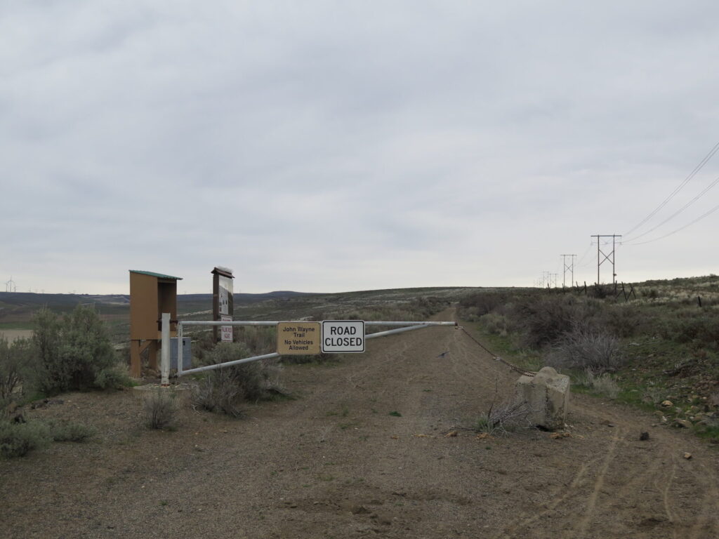
Without any recent trip reports about trail conditions, I drove myself to the trailhead in case I needed to bail out early and turn around. My friends agreed to drive me back to my car later in the day. The trailhead has a bathroom with ample parking and camping is allowed with prior permission from the U.S. Army Yakima Training Center.
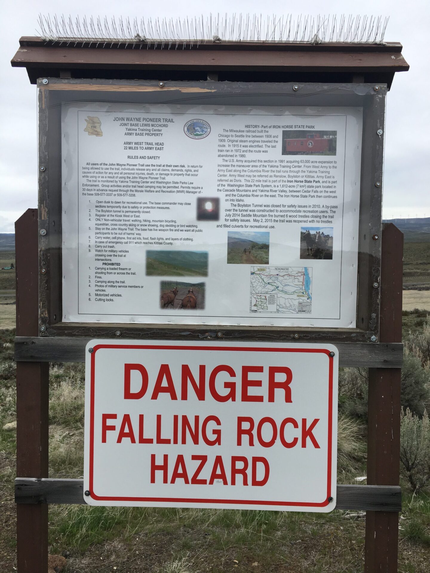
From the parking lot, a short steep climb heads to the power lines above and the start of the trail. This section to the Columbia crosses through the U.S. Army Yakima Training Center, which asks you to self-register at the trailhead kiosk and not detour off the trail at any time. The short climb to the start is the steepest climb of the whole route and will get your legs warmed up. After this, it’s pretty easy cruising.
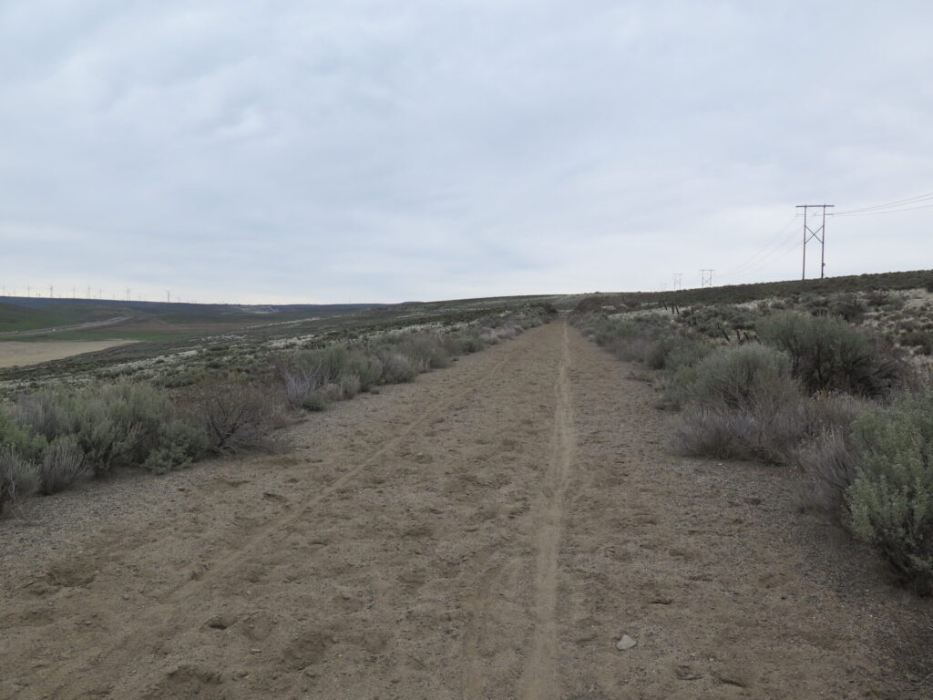
The first 5 miles of trail are a slightly uphill grade through shallow sand. Trip reports talk about the sand being a big problem in this area, but I didn’t find it particularly troublesome. The recent rain and bike tracks helped pack it down a bit, so I imagine it could be worse later in summer, but mostly it was just a slow slog.
In only a few miles the trail turns to the south and I-90 disappears behind the distance hills. Pretty soon there’s nothing but some burn scars, a few birds, and a lot of quiet solitude.
The Boylston Tunnel.
From the trailhead, it’s a gradual 5 mile climb to the 1,973-foot Boylston Tunnel, the highest point on this section of trail. Milwaukee Road archives indicate this tunnel was also called the Johnson Creek Tunnel. A bypass route goes around the tunnel, which has high rockfall danger, but I couldn’t pass up checking it out and giving it a look, so I rode ahead.
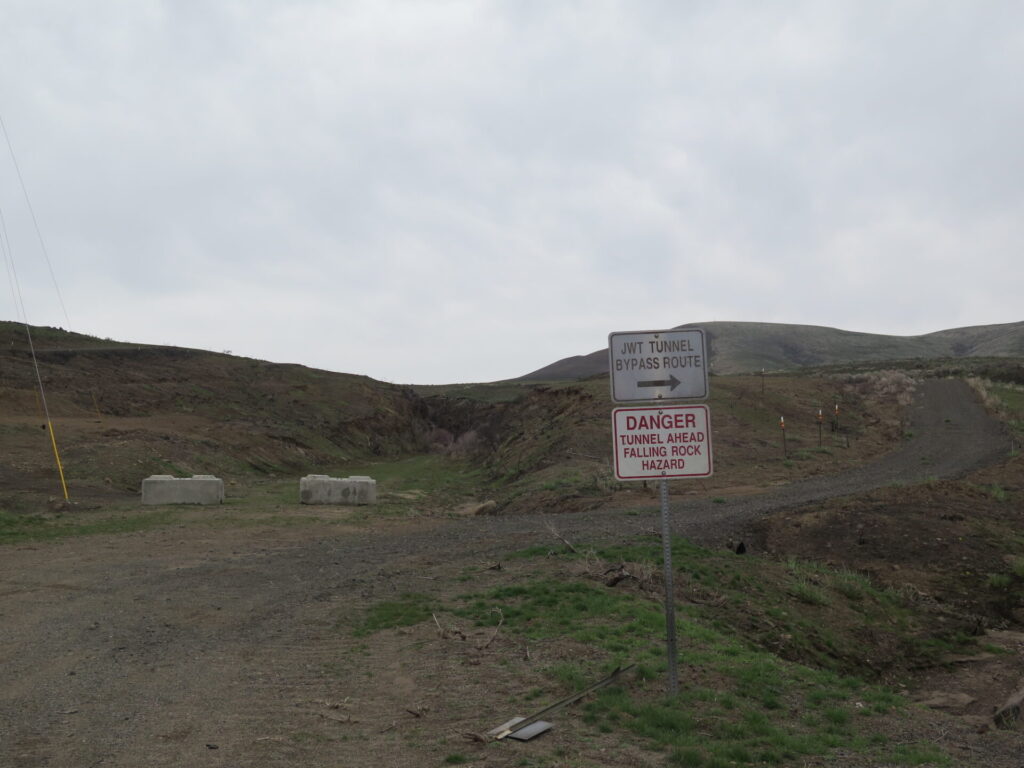
I have to be honest, approaching the entrance of the tunnel spooked me! Large boulders were strewn across the ground and the steep walls seemed ready to crumble at any time. I would have taken more photos but I simply didn’t feel safe lingering there, so I quickly entered and flipped on my headlamp.
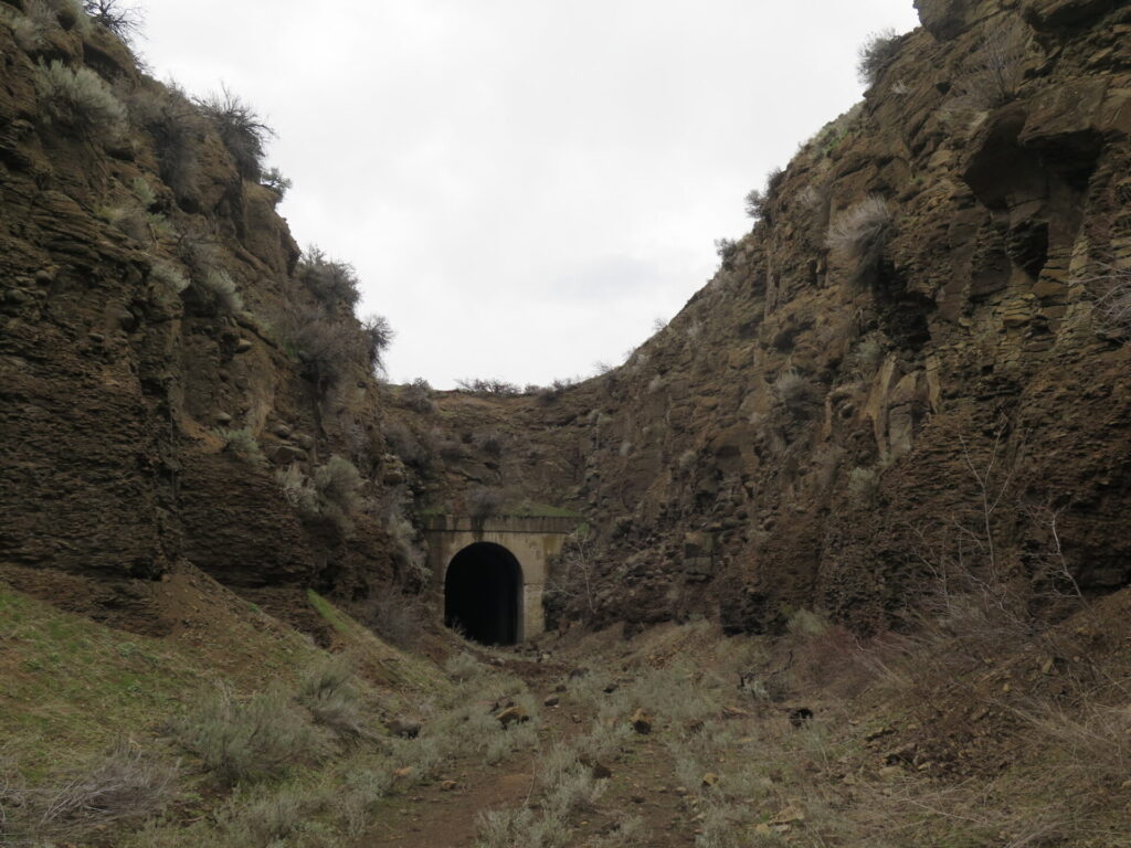
The tunnel is under a half mile in length with a slight curve in the middle, dark enough to require light. The first third and last third seem solid and sturdy with little rockfall, the middle; however, was in much poorer shape and large 12-24” diameter boulders littered the ground.
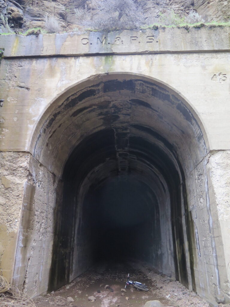
Already spooked at the entrance, the darkness and those gigantic boulders got my adrenaline going and I found myself a little shaky at times, which isn’t normal for me! I hustled through the tunnel quickly, still trying to look up and take a few seconds to enjoy this fantastic piece of history.
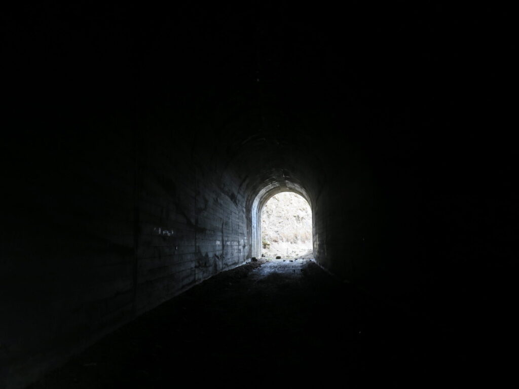
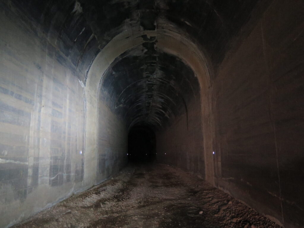
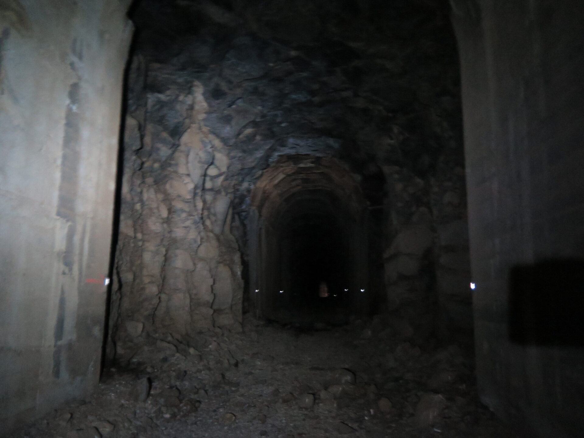
With the high rockfall hazard, I can’t suggest you ride or hike through the tunnel. There’s an obvious reason the bypass exists and the tunnel is considered closed by the State Park and the U.S. Army. I couldn’t help myself from wanting to see it and I’m glad I did. If you do enter, you’ll need a bright headlamp and I would suggest moving quickly and not lingering in rockfall areas.
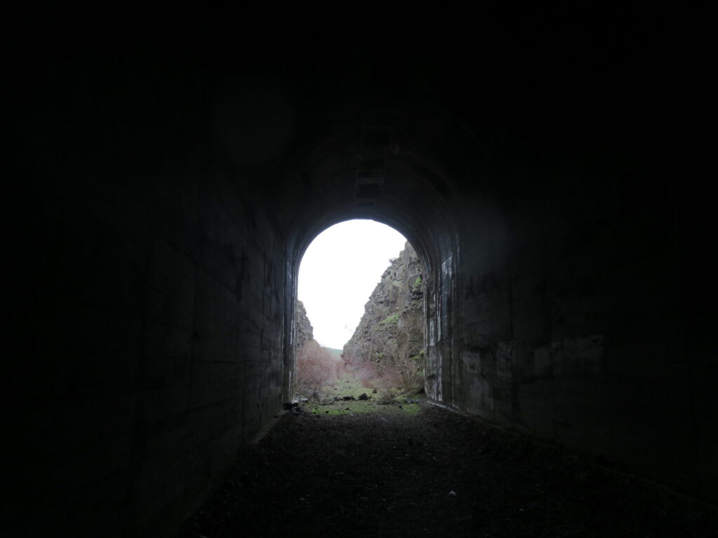
Then the marsh. And a stick to the eye.
What I wasn’t expecting when I exited the tunnel was an overgrown marsh that required some difficult bikeshwacking and a lot of muck wading. I considered going back through the tunnel and taking the bypass, but I didn’t feel like tempting my fate again!
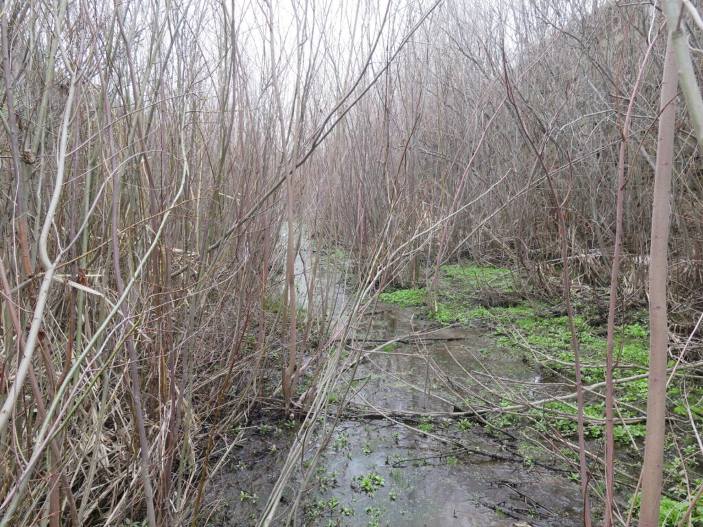
I pushed through the thick overgrowth, glad my old Sidi bike shoes were relatively water repellant. Then my bike got really stuck. No matter how hard I shoved I couldn’t seem to budge it. What the heck was I caught on!? I leaned over the handlebars and threw all my weight into it.
“WHACK!”
Out of nowhere my bike lurched forward and a branch that was keeping me from making forward progress came flying straight at me, hitting me square in the eye. Bullseye. I unfortunately wasn’t wearing my glasses.
Instead of pain, my entire body reeled with nausea. It felt like my eye impacted the back of my skull and I was sure I’d find it attached to the end of the tree branch. I doubled over in agony, unable to even mutter a single explective! When the shock subsided I quickly pushed my way through the rest of the overgrowth and made it to clear trail at the bypass.
When I opened my eye, my vision was blurry and I panicked. Checking out your eye when you’re out there solo is tough, so I took a few ridiculous selfies trying to make sure it was still attached. Though it looked fine, it didn’t feel fine!
I tried my phone to see if I could send my friends a text but there had been no cell service for most of the day and indeed, I had no service. I decided the best thing to do was put on my sunglasses and keep on riding, so I did.
Me: 0. Scrubby trees: 1. Lesson? Always wear your glasses when shwacking!
Dodging rocks.
The good news is that the trail is all downhill after the Boylston Tunnel and despite my blurred vision, I was able to make relatively good time.
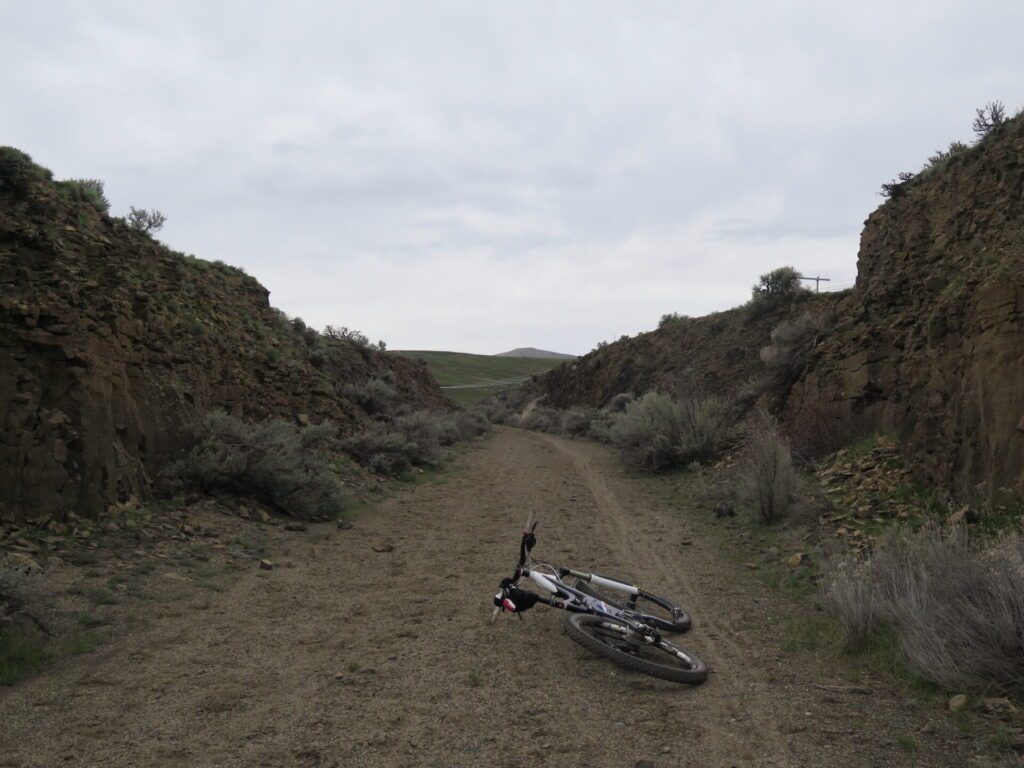
The trail surface was packed and fast and much easier than the first few miles. The only issue? Several stretches are cut into the surrounding landscape and flanked by tall basalt walls. It was a neat experience but the amount of rockfall in some of these narrow “canyons” was concerning and tedious to navigate.
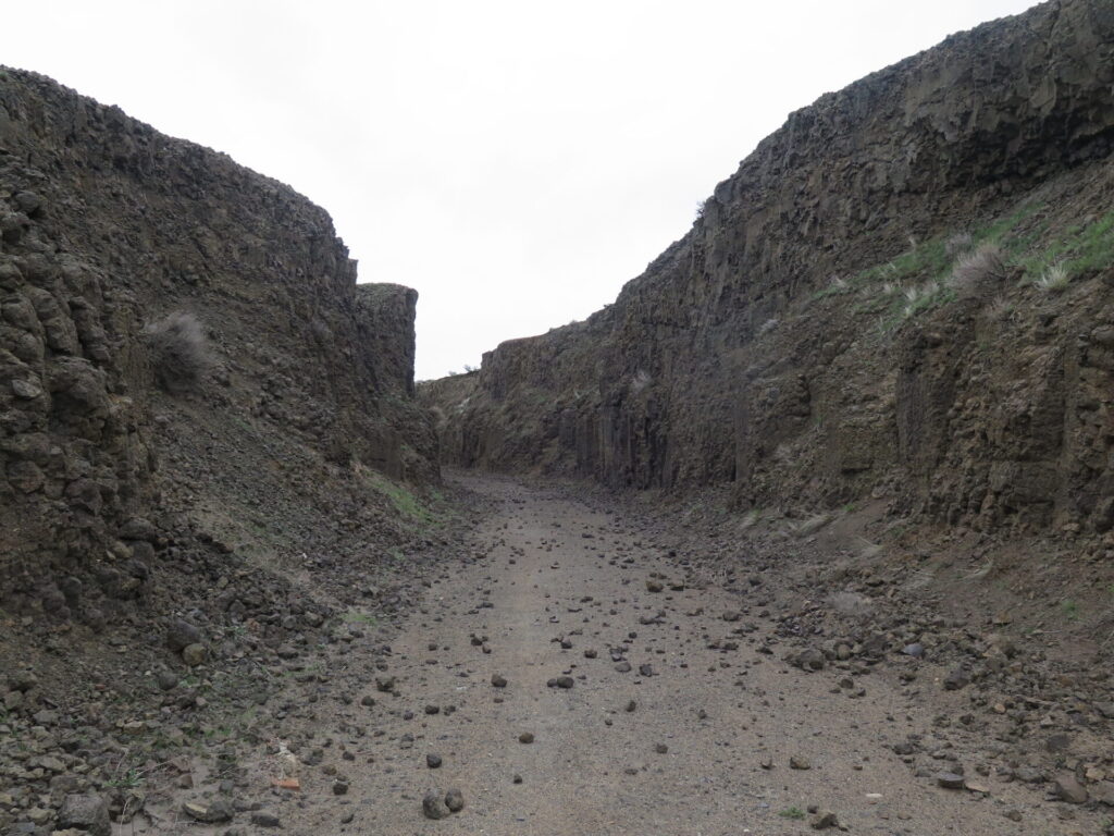
I’d say I crossed just under a dozen of these areas. Most I could ride through, carefully dodging the rocks using my one good eye. By the 5th or 6th my nerves were a little frayed as I dared to look up, realizing how many of these precariously perched rocks could either crush your skull or break a bone if they decided to fall. I did not feel at ease.
Some rocks were small but many were 8-20” in diameter and the amount of rock on the trail clearly indicated this stuff was pretty unstable. I hoped most of it happened over the winter, but with recent rain, I wasn’t feeling particularly optimistic.
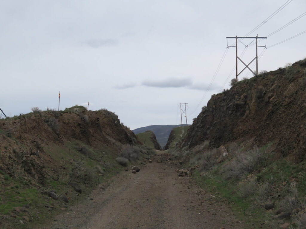
Then I hit the longest, narrowest, steepest canyon that was so deep with rockfall I had to hike my bike through. I held my breath as I made my way through, trying to be as as fast but quiet as possible for fear echoes would set off a rockfall that would bury me alive. Halfway through, a large crow flapped into the canyon and a small rock came bounding down. I ran as fast I could, dragging my bike through rocks and coming out a little shaky on the other side.
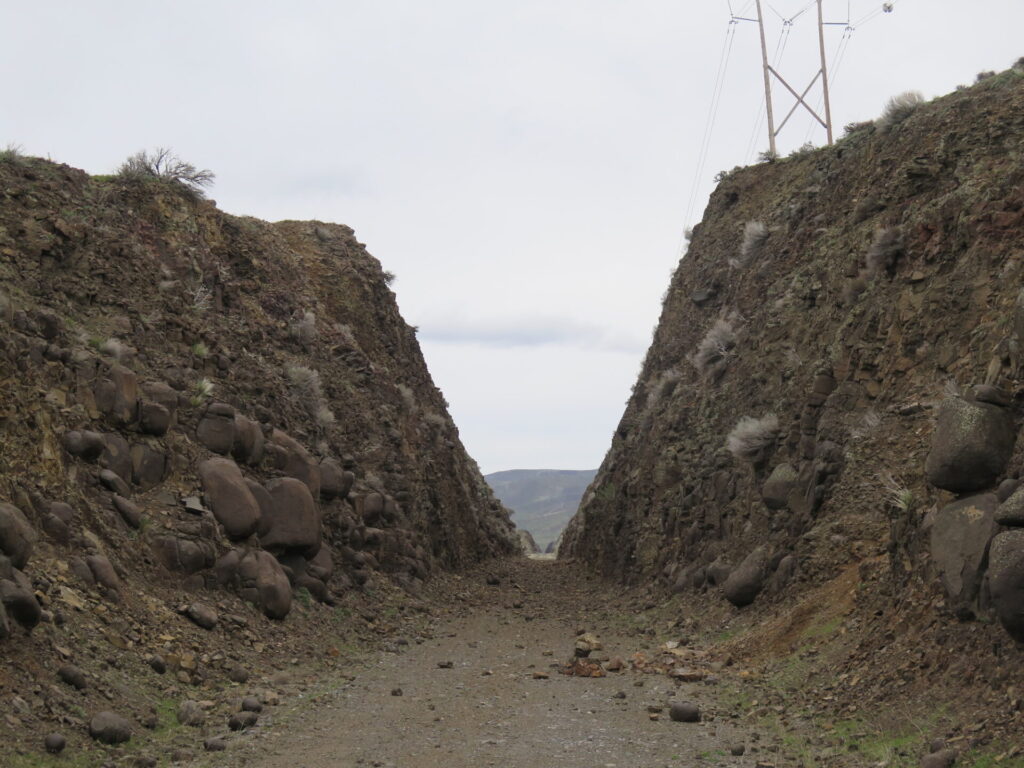
Every time I thought I had passed through the last rockfall area, another appeared, and then another. I wish I were exaggerating when I say I feel like I was taking my life in my own hands!
Finally I exited the last of the scary rockfall areas and met a horse rider, hiker, and dog, the only people I’d see all day. The horse rider was local and a regular trail user. She said she’d never seen the rockfall so bad. We supposed the winter must have been particularly rough.
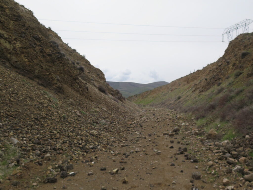
Though I never actually saw or heard any active rockfall other than the one set off by a crow, the trail debris was evidence that falling rocks are a real hazard in the wrong conditions and numerous trail signs warn of the danger. Perhaps as the season progresses some of the rockfall will be cleared. It makes you wonder if nets are necessary for some of the more dangerous areas.
Hello Columbia!
Closer to the Columbia, the views become expansive over to the river, Saddle Mountain, and the Beverly Railroad Bridge, which is as far as the trail goes on the western side of the Columbia. This area is beautiful and also slightly more windy. So far I had been lucky that winds were calm all day, an unexpected treat for this area.
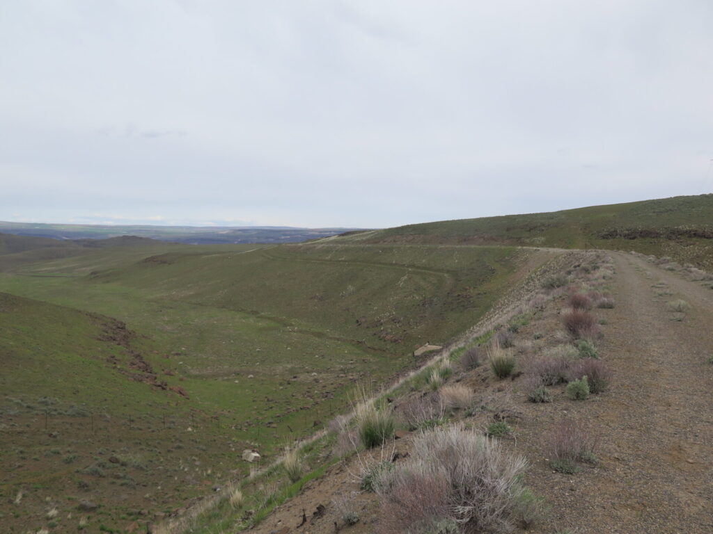
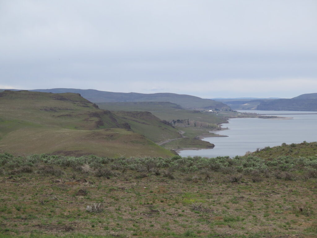
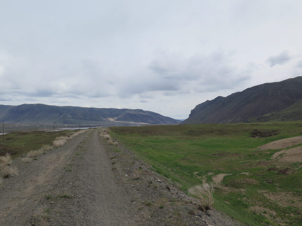
Eventually the trail bisects Huntzinger Road at the Army East Trailhead and continues to the Beverly Bridge, which is closed due to poor condition. I unfortunately didn’t ride all the way to the bridge as I met my friends at the intersection with Huntzinger Road, a bit concerned about my lingering blurry vision. I do regret not riding that last mile or so to the bridge, so I’ll definitely return again to check it out.
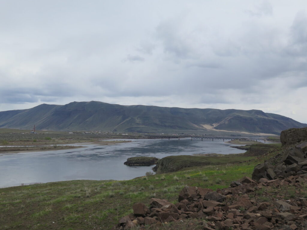
The Beverly Bridge closure forces bikes to find a detour across the Columbia to continue, which isn’t the easiest task since the Vantage Bridge isn’t very bike friendly. Getting a lift is the best option and then from there, the route east of the Columbia becomes a bit more of an adventure. It sounds like there is interest in restoring the Beverly Bridge, which I hope can happen!
Though I was too early for most of the flowers and eastern Washington’s famous sunshine was hiding, I consider myself lucky to have had very little wind, cool cloudy skies, and amazing solitude on this ride. The balsam root is just starting to bloom close to the Columbia and in a few weeks should be beautiful!
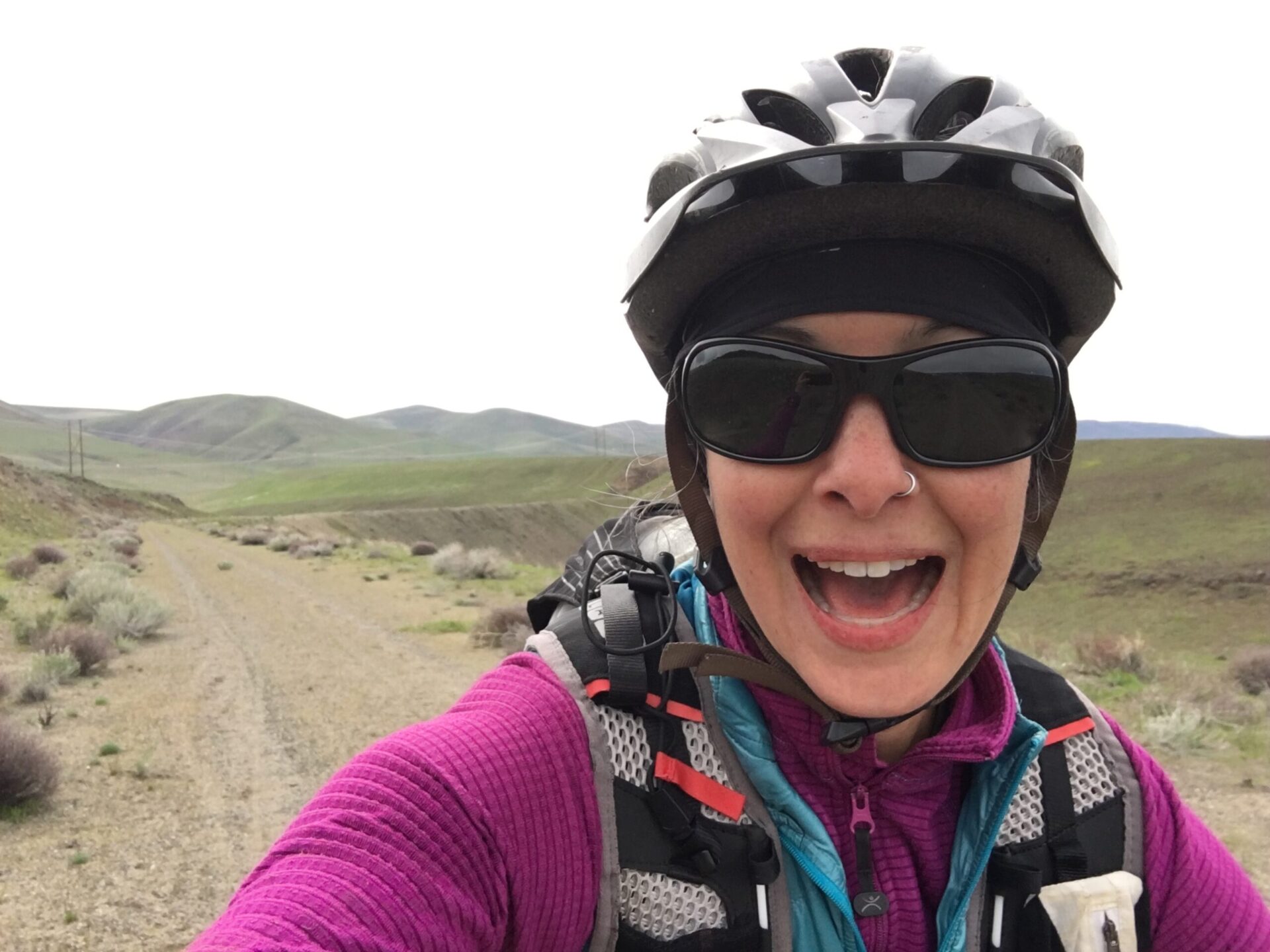
As far as my eye? I had a checkup with my eye doctor and the diagnosis was corneal edema due to blunt force trauma. Though my eye is still sensitive, my vision is slowly unblurring and it will likely heal in a few days with no lasting damage. Whew! The lesson is to always wear your glasses!
Tips for riding the Cascades to Palouse from Renslow.
Bike Choice. For this stretch of trail, I chose to take my mountain bike rather than my cyclocross bike and I’m happy I did. I think the wider tires were an advantage in some of the sandier areas and more durable for the rockfall areas.
Toolkit. With all the basalt on this trail I would highly recommend a patch kit, pump, and extra tubes. I got lucky I had no flats but I can’t imagine that’s the norm here. Bring more than you think you might need, the rocks are nasty.
Camping. Camping is only allowed at the east and west trailheads of this trail section with permission from the Yakima Training Center, which you can call at 509-577-3337. There is no camping allowed anywhere else on this stretch of trail. The Wanapum Recreation Area has beautiful camping and RV spots and easy access to the Army East trailhead at Huntzinger Road.
Water. Bring lots of water. There is only one potable water source near the old town of Doris, which is far on the east end of the trail.
Wind. Though I was lucky with wind conditions, this area is commonly windy, so prepare accordingly. I enjoyed riding towards the Columbia. The views are great, the wind will likely be in your favor, and most of it will be downhill!
Cell Service. I had very little the entire route and once you’re in, there is no place to bail out. Plan accordingly and consider bringing a GPS or emergency beacon just in case.
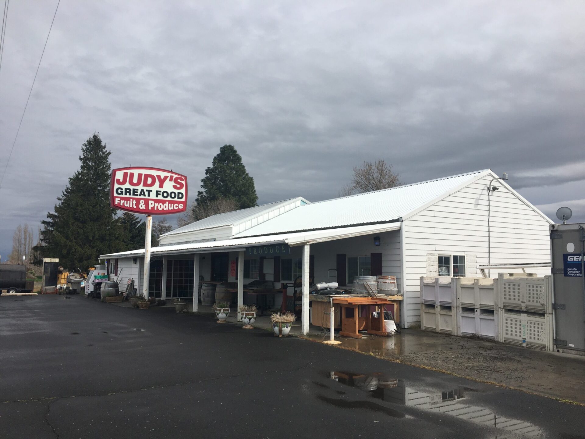
Food. Not much food is in Vantage except for the gas station. I highly recommend detouring 15 minutes up the road to Judy’s west of Royal City. It’s a roadside cafe/store that has a friendly welcoming owner and the best damn tamales and homemade pies you’ll find anywhere! They even have wine tasting!
Overall Stats
Distance: 22 miles
Elevation Gain: 865′
Moving Time: 2:33
