Columbia Basin | Blue Mountains
Umatilla National Forest | Wenaha-Tucannon Wilderness
Location: 46.110427, -117.679707
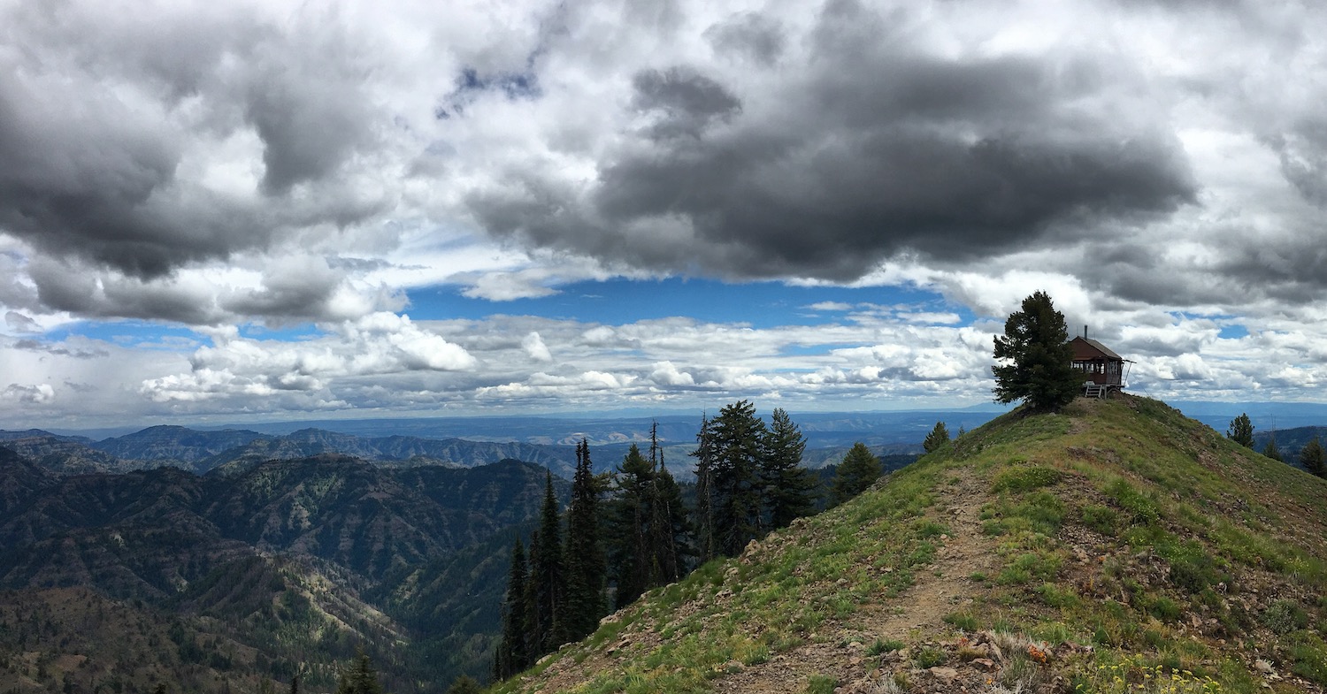
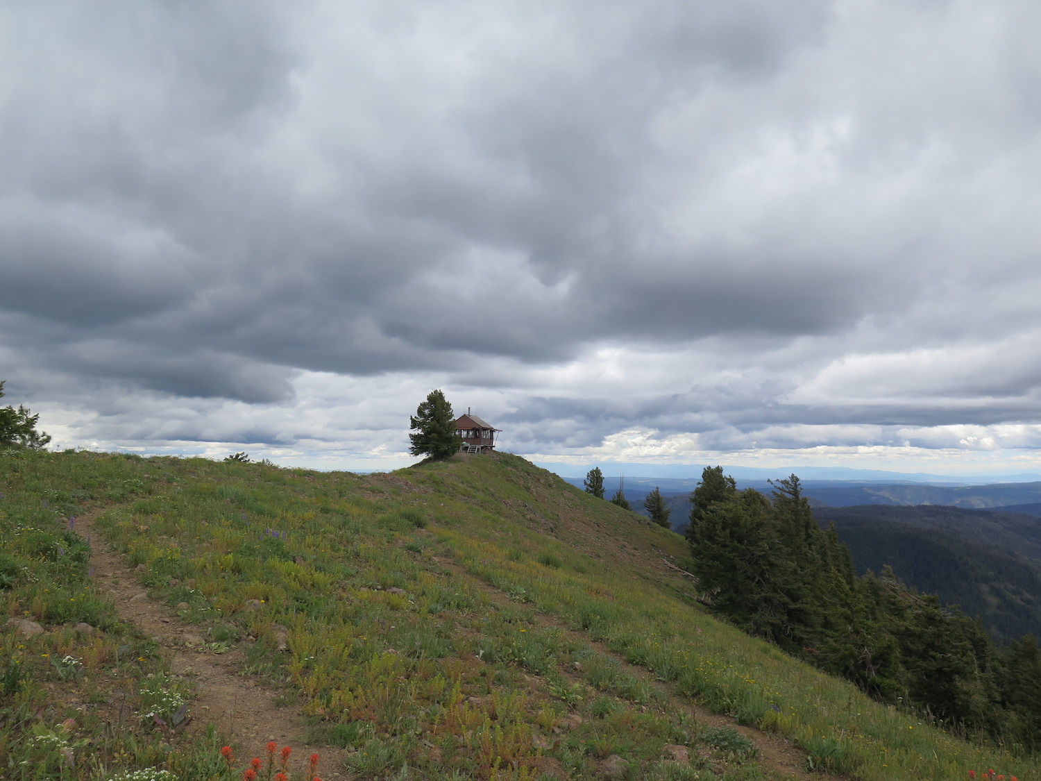
Summit Elevation: 6,387′
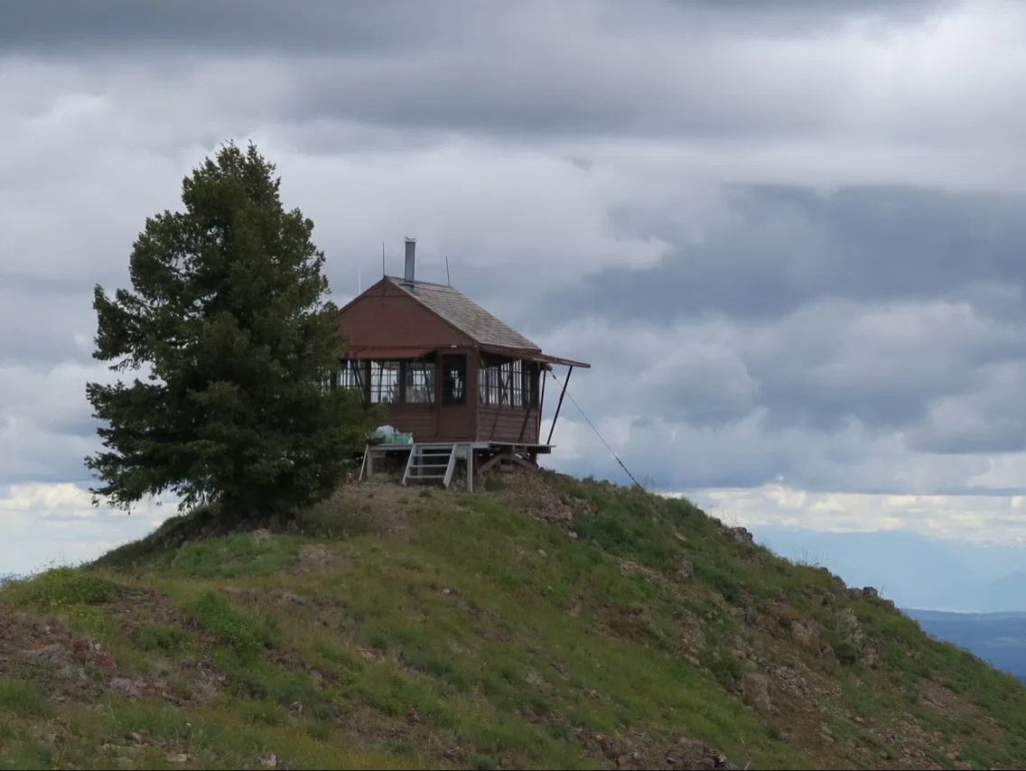
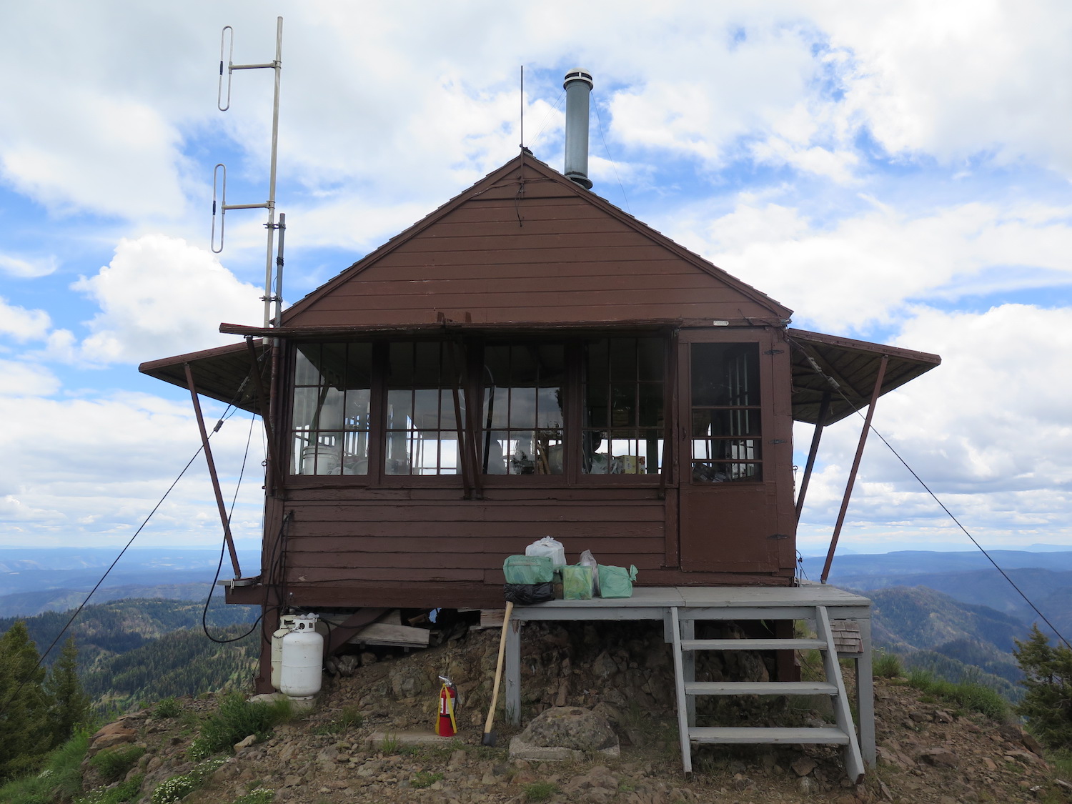
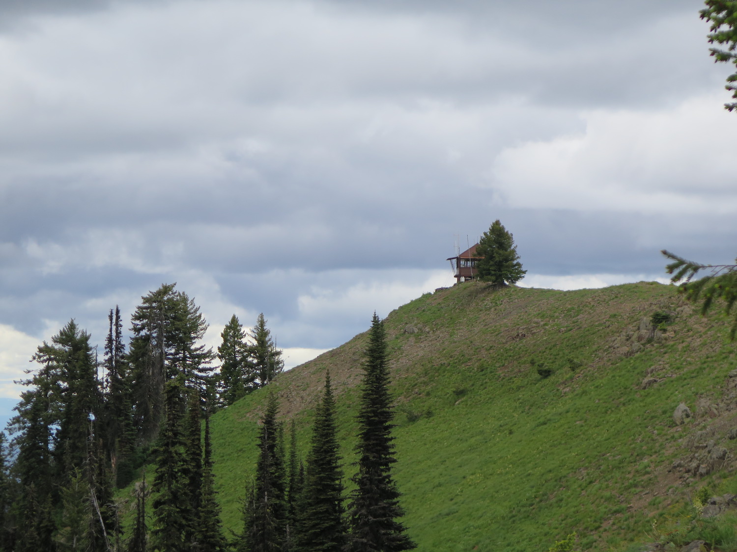
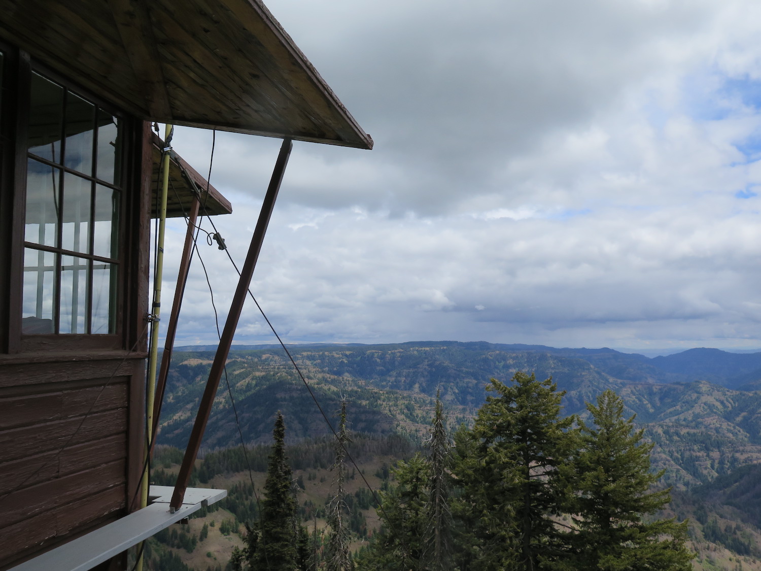
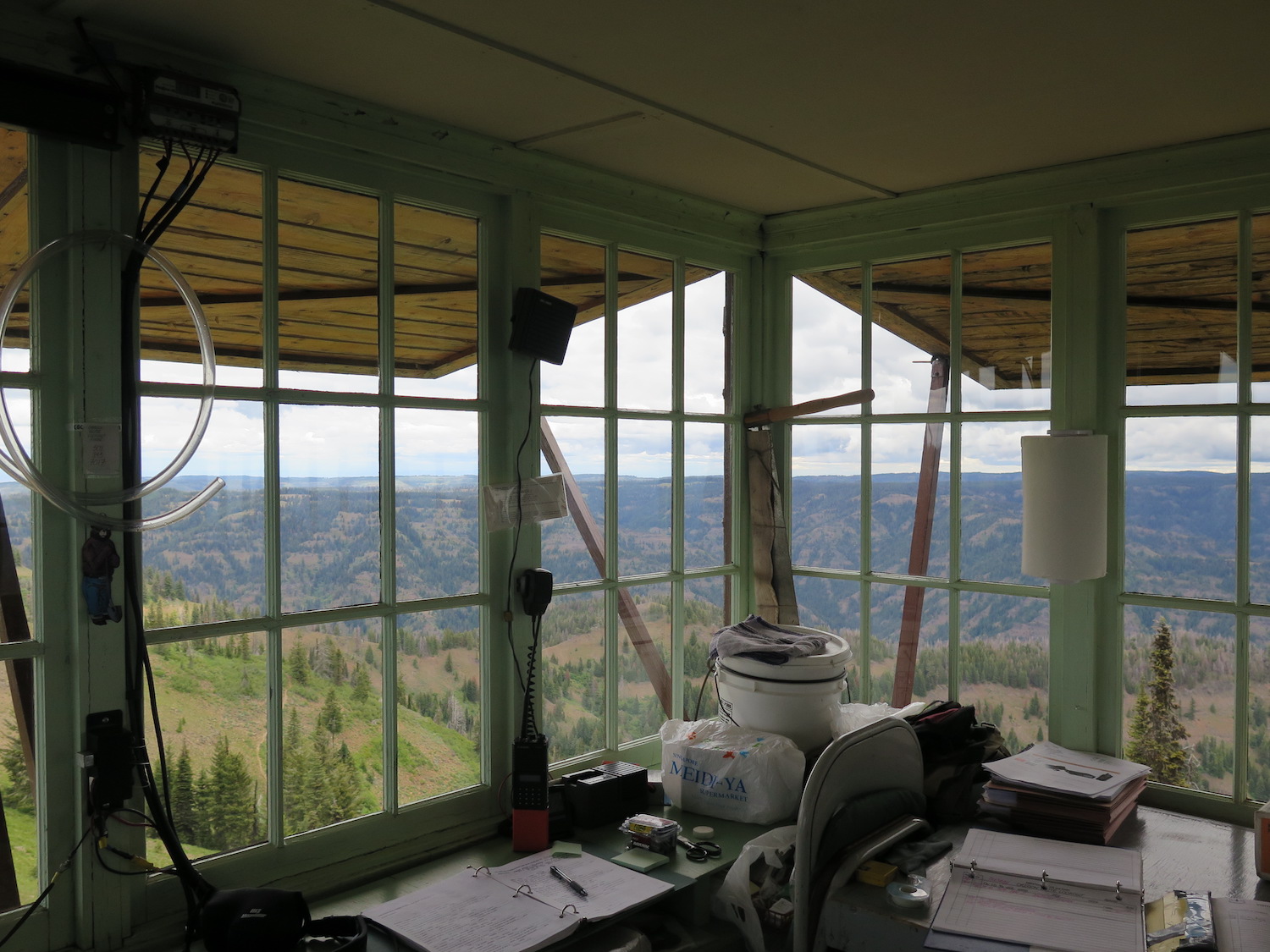
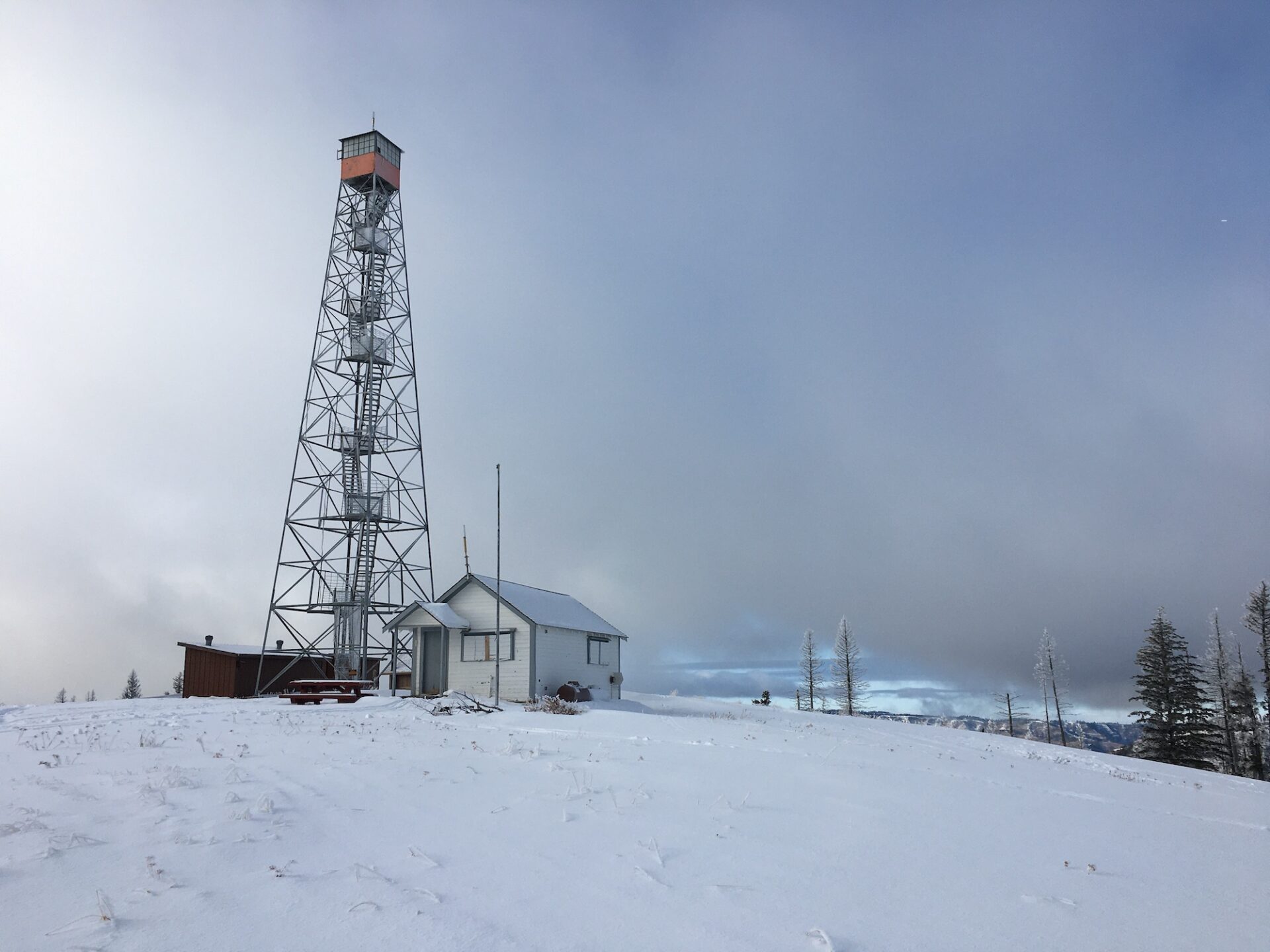
Lookout Type: L-4 gable roof
Site Established: 1914
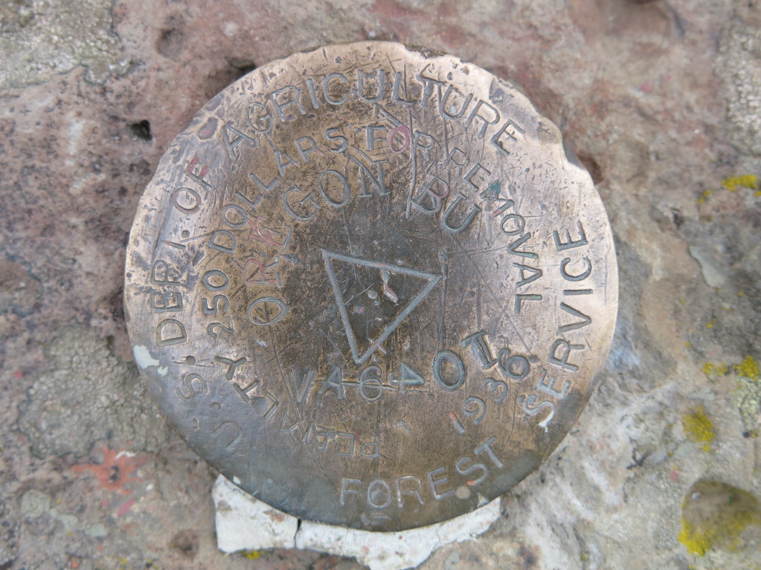
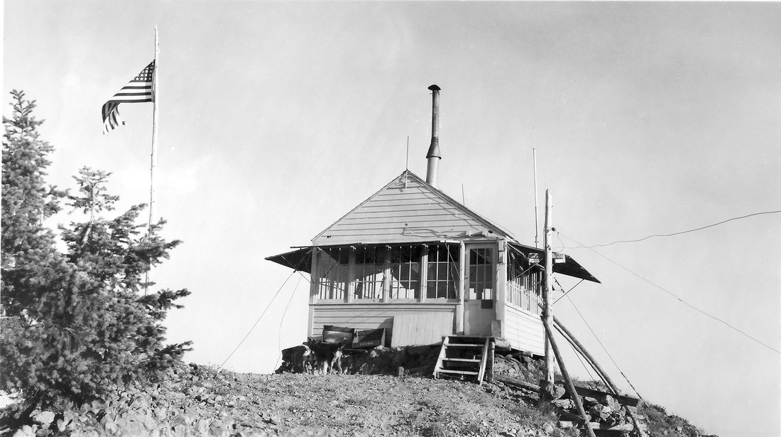
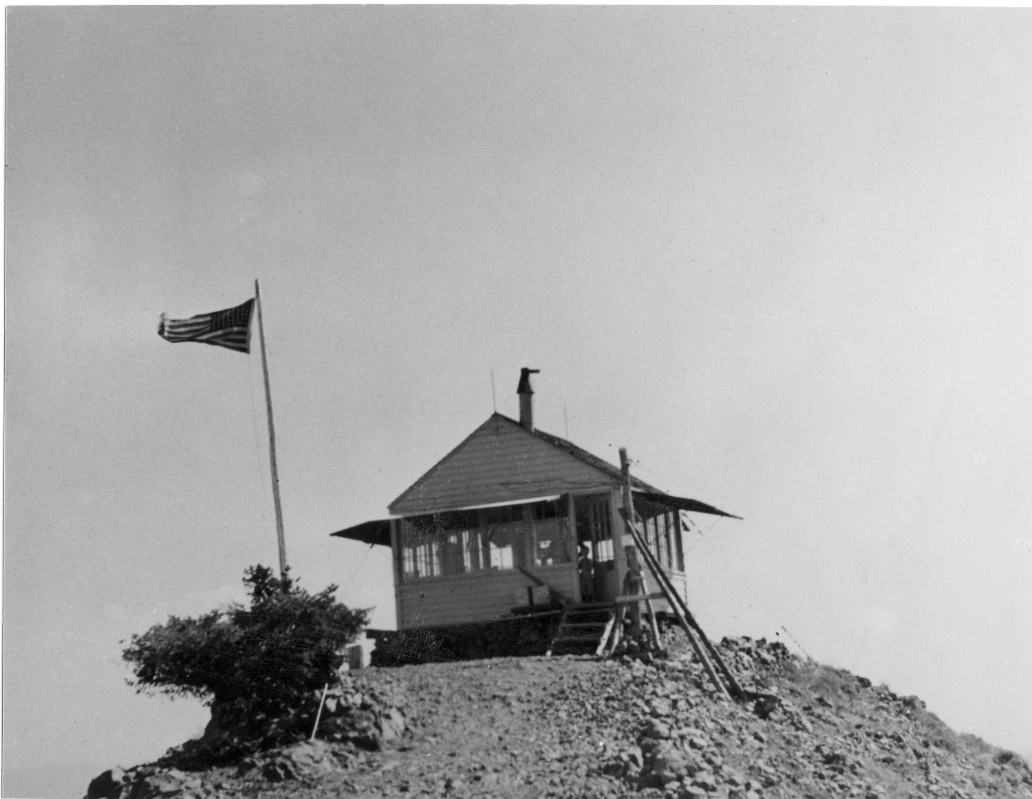
Current Structure Built: 1931
Date Visited: 7/03/18
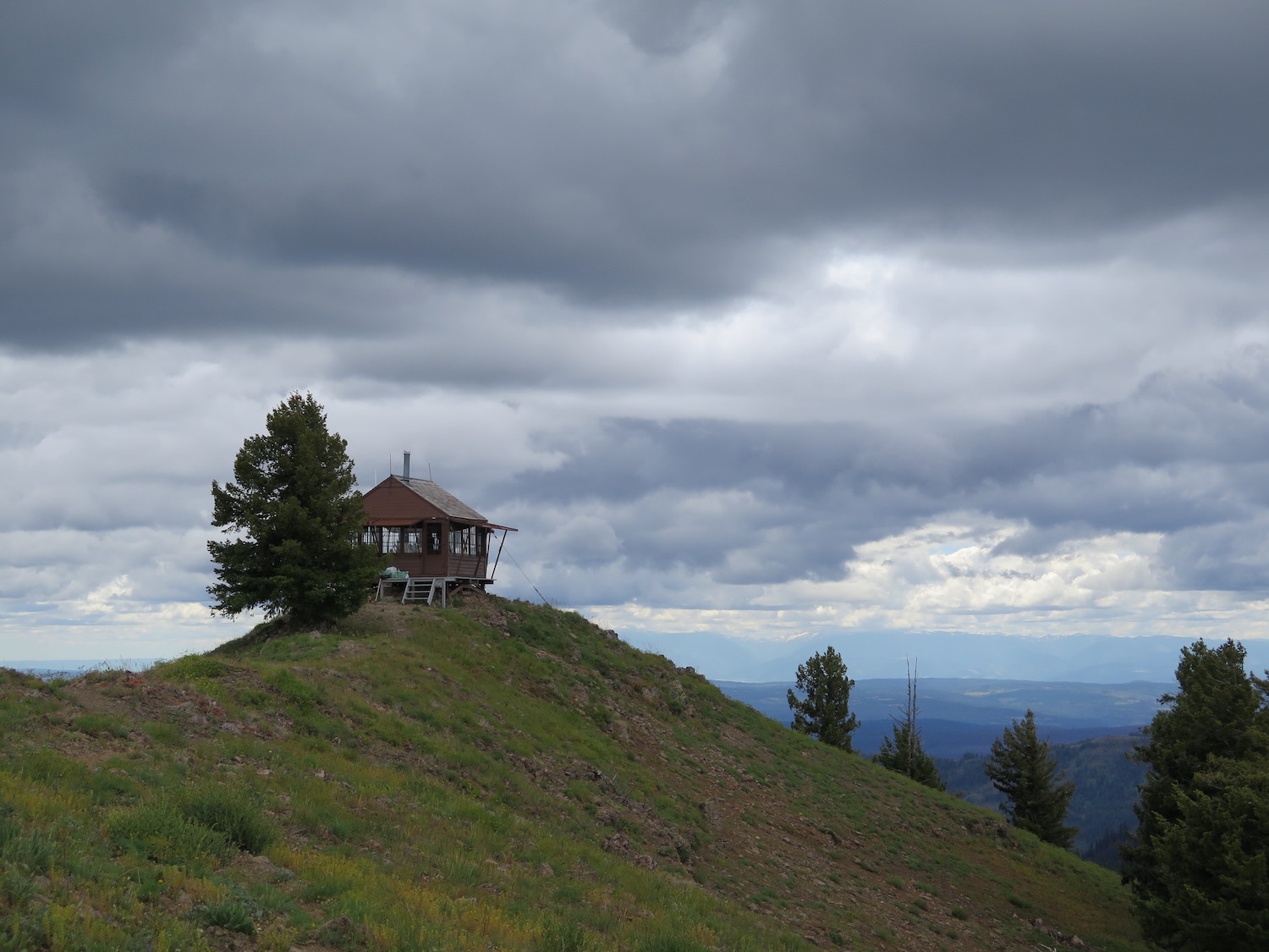
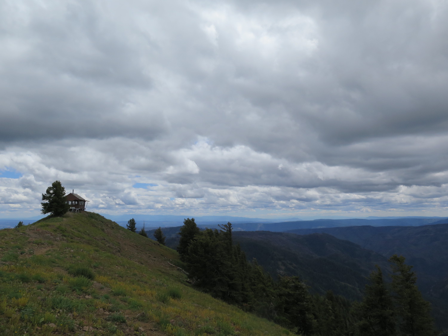
Oregon Butte is the highest peak in both Columbia County and southeast Washington and it’s also on the list of top 100 most prominent peaks in the State. The lookout is actively staffed each year by the Pomeroy Ranger District.
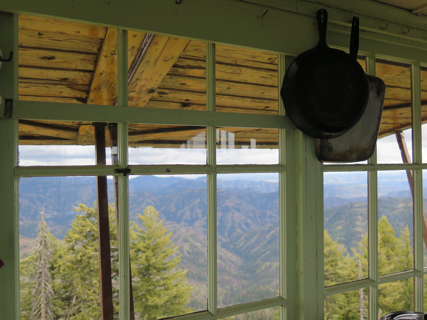

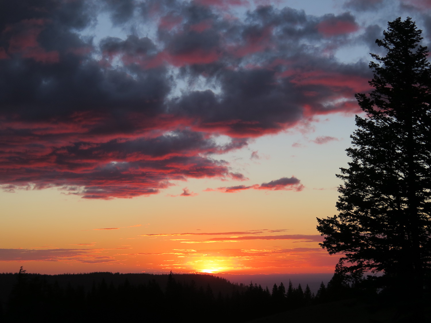
Photos from 2018.
History.
Oregon Butte is the highest point in southeastern Washington and the Washington side of the Blue Mountains. The gable-roofed L-4 fire lookout atop Oregon Butte was built in 1931 and is staffed every summer by a veteran fire lookout.
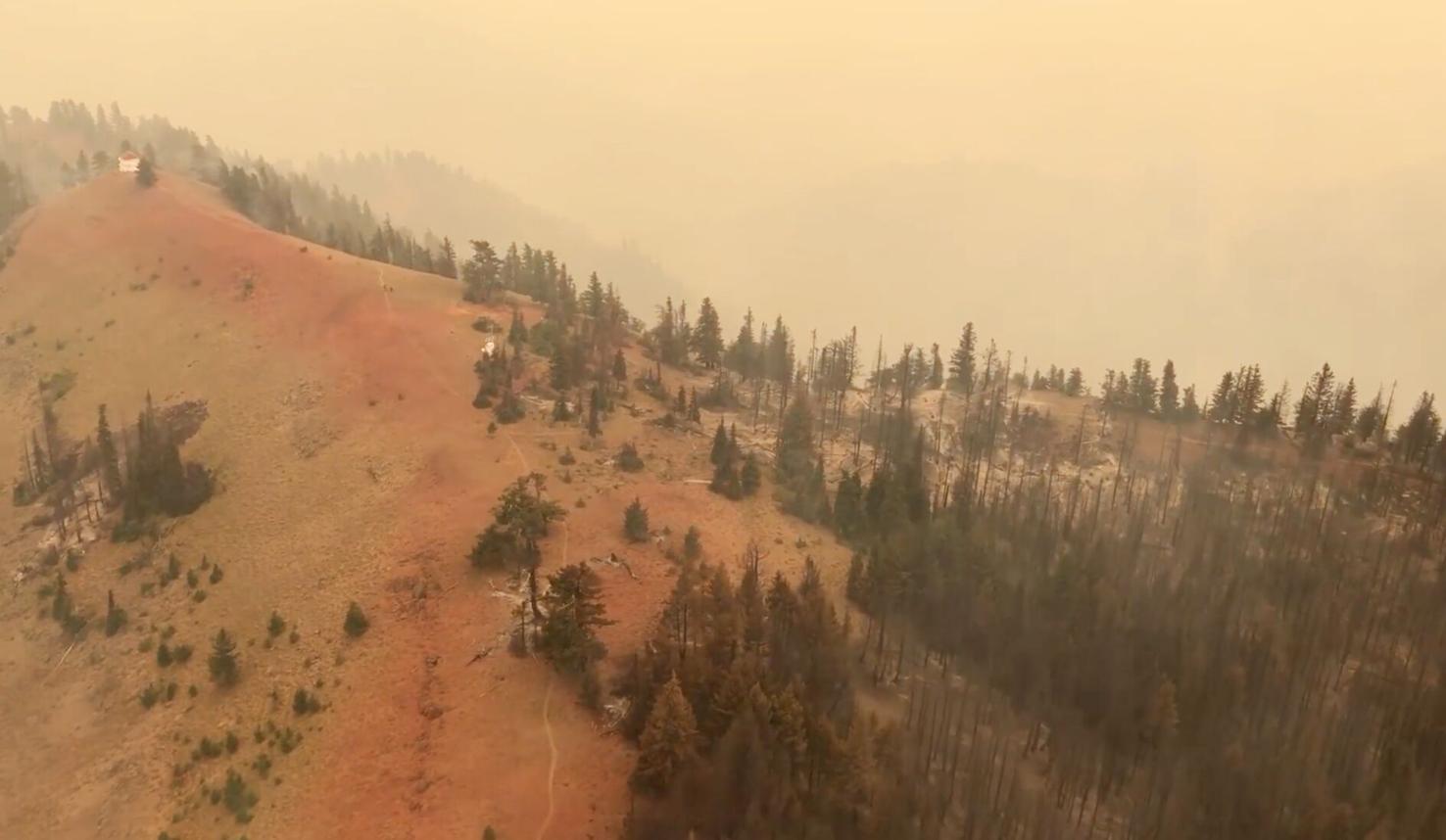
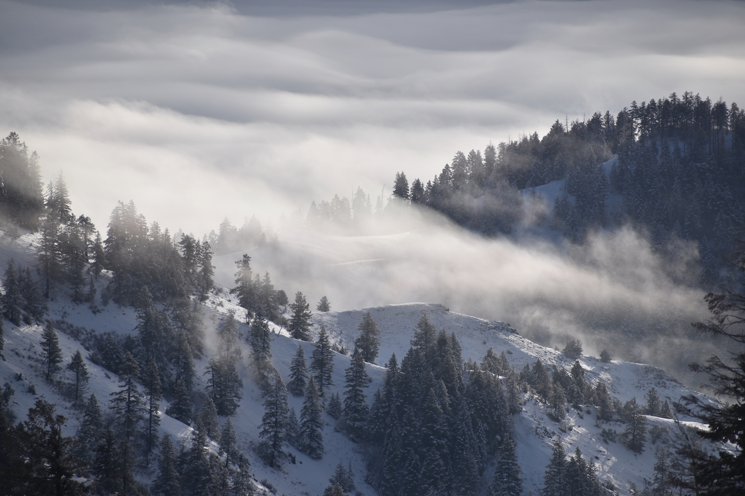
Lightning strikes on July 7, 2021 ignited both the Turkey Tail and Green Ridge fires, which were managed as one fire, the Green Ridge fire. The fire burned over 40,000 acres in the Blue Mountains causing the evacuation of Oregon Butte. The fire eventually burned over the Butte but the lookout was saved thanks to protective fire wrap and retardant drops from aerial support. Trees within 100 yards of the lookout were damaged in the fire.
The route.
Distance (RT): 6 miles
Elevation Gain: 1,750′
There are two possible routes to Oregon Butte, a 16 mile loop hike from the Panjab Trailhead or the more commonly used 6 mile round trip hike from the Teepee Trailhead on the Mount Misery trail (5113).
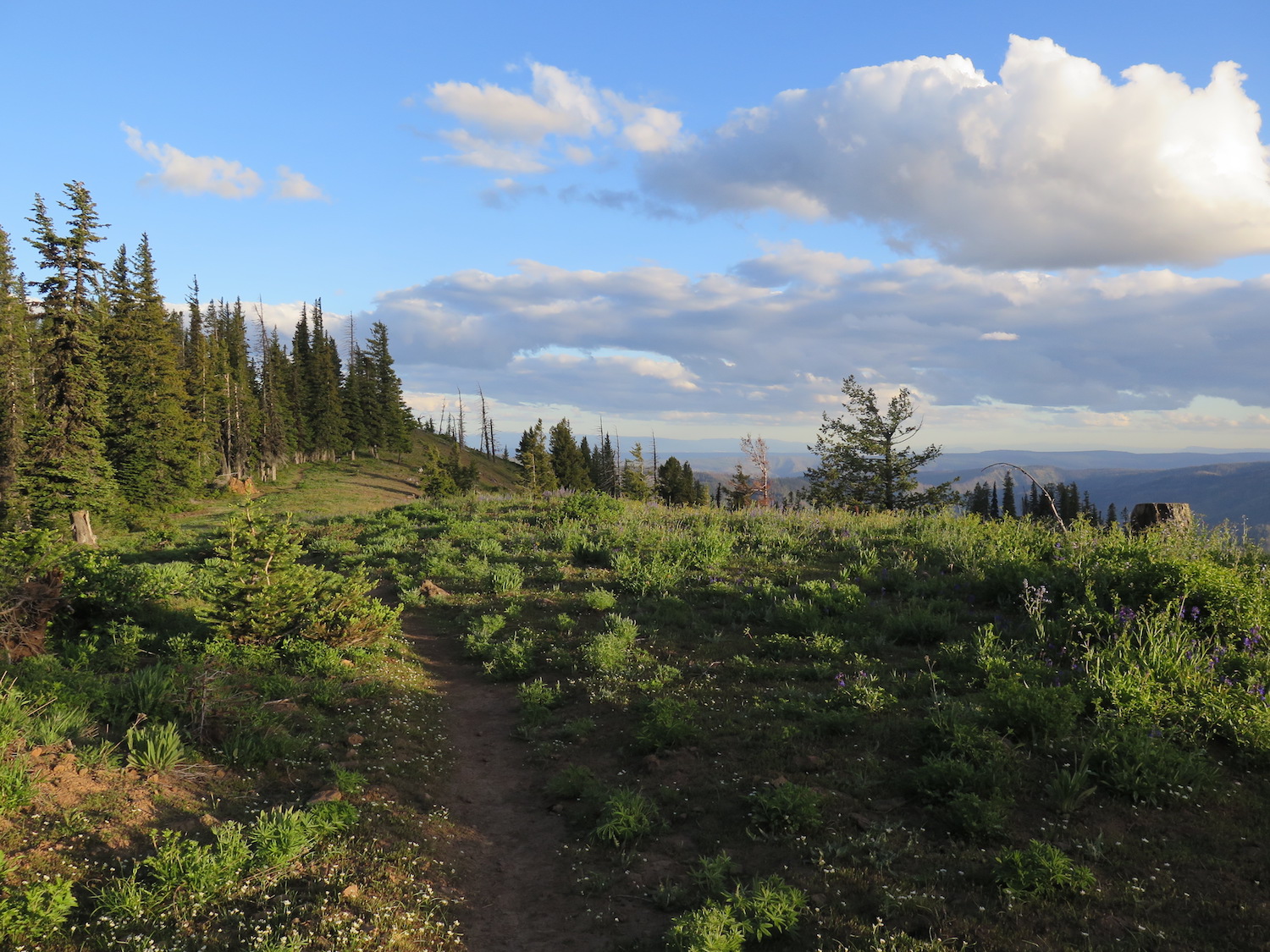
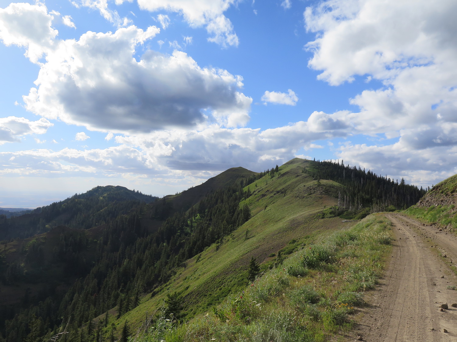
From the Teepee Trailhead, the trail climbs steadily through beautiful forest, though it’s hard to say what it may look like after the 2021 fires. In one mile, the trail branches but both routes lead to the lookout. The left branch climbs less and stays lower. The right branch climbs over West Butte with big views, so I recommend going that way.
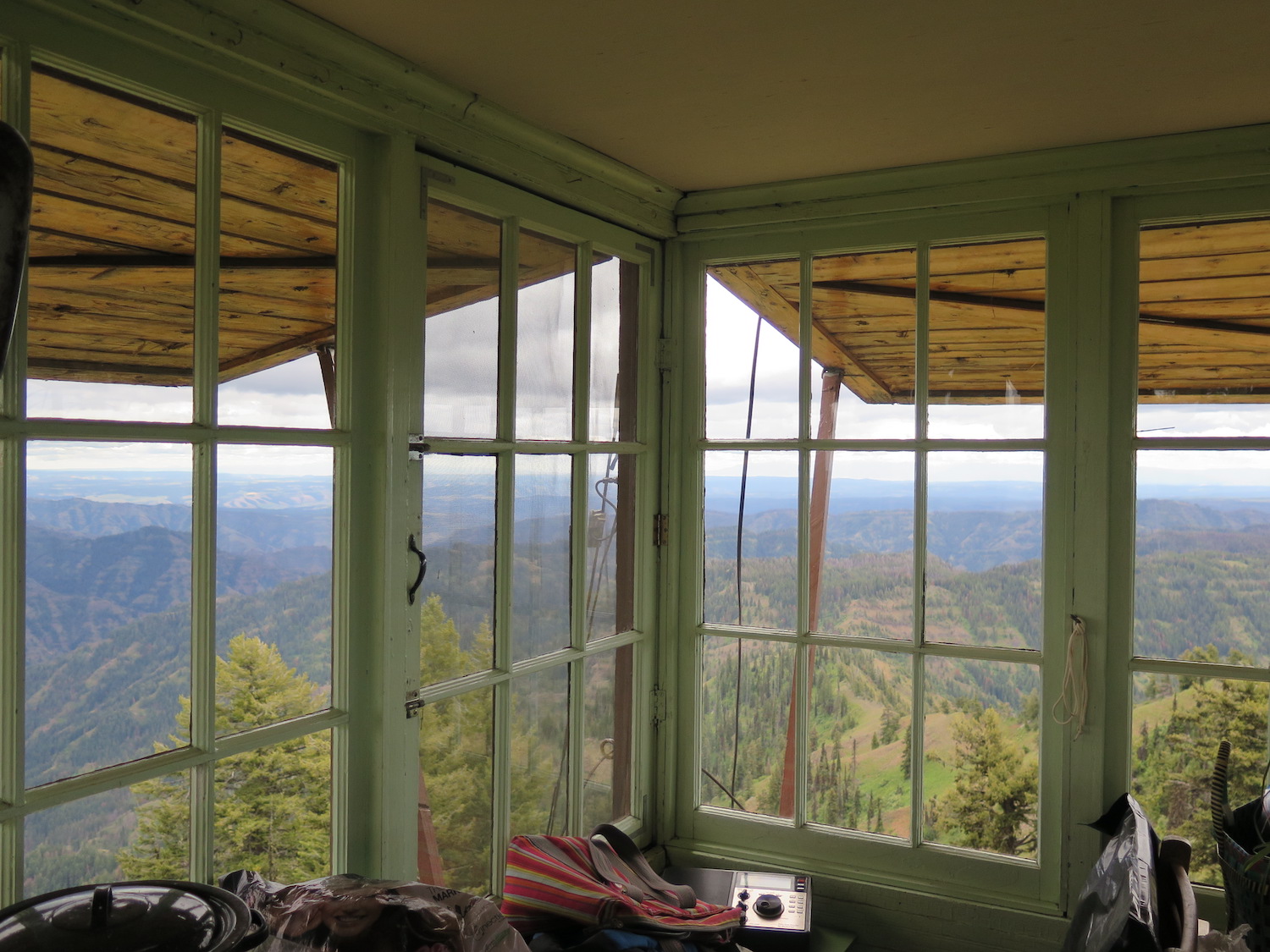
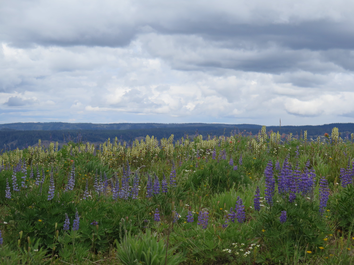
At about two miles, the trail drops about 300′ down a saddle before turning upwards and climbing again the remaining 500′ to the summit where the expanse of the beautiful Wenaha-Tucannon Wilderness stretches in all directions.


Visiting the Blues.
When I first visited the Blue Mountains of southeast Washington on a fire lookout trip back in 2018, I admit that I had never even heard of them or the Wenaha-Tucannon Wilderness tucked into their northern reaches. It was mind boggling to me that even after exploring all over this State for 20 years I could find somewhere I knew nothing about.
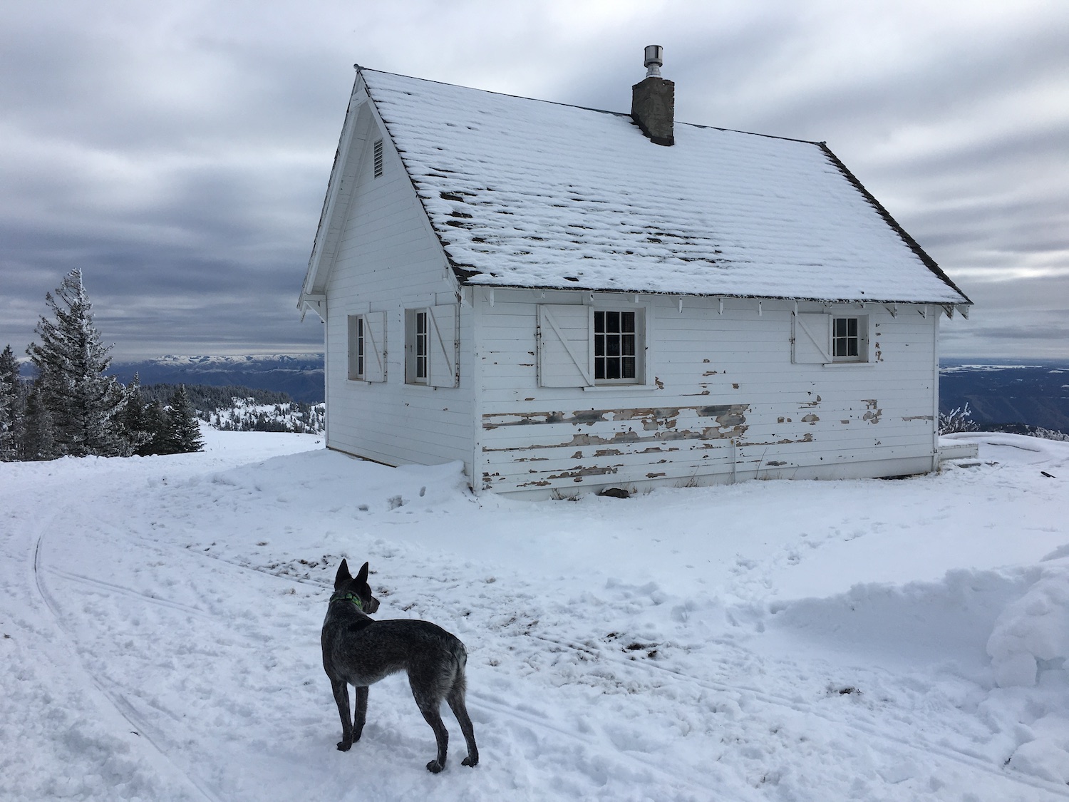
I was so awed by spending a few days amongst the surreal landscape of the Blue Mountains that I wrote a whole blog post about the trip and then returned again during the winter of 2019 for a 5-day ski trip in the Blues, staying overnight at the Clearwater Lookout cabin and Wenatchee Guard Station.
The Blues are a special place and it’s worth spending a few days to truly soak up their beauty and of course, to visit all four fire lookouts in the area: Oregon Butte, Clearwater, Big Butte, and Table Rock.
Directions.
Take the Eckler Mountain Road from Dayton, WA for approximately 15 miles to a stone monument at a “Y” that marks the Kendall Skyline Road. Turn right and follow the road 12 miles to the Godman Guard Station. Just below the Guard Station turn left on Forest Service Road 4608 and continue 5 miles to the Teepee Trailhead, staying to the right on all turns.